Your cart is empty
Start Shopping Exterior
›
Exterior
›
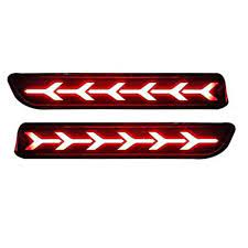
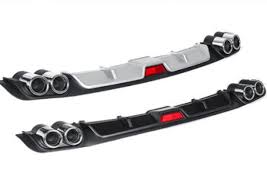 Bumper Diffuser/Guard
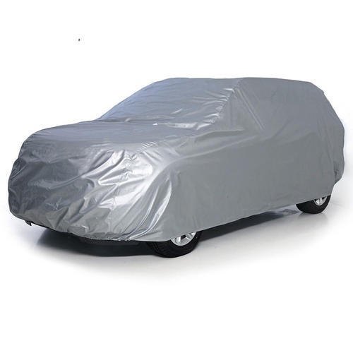 Body Covers
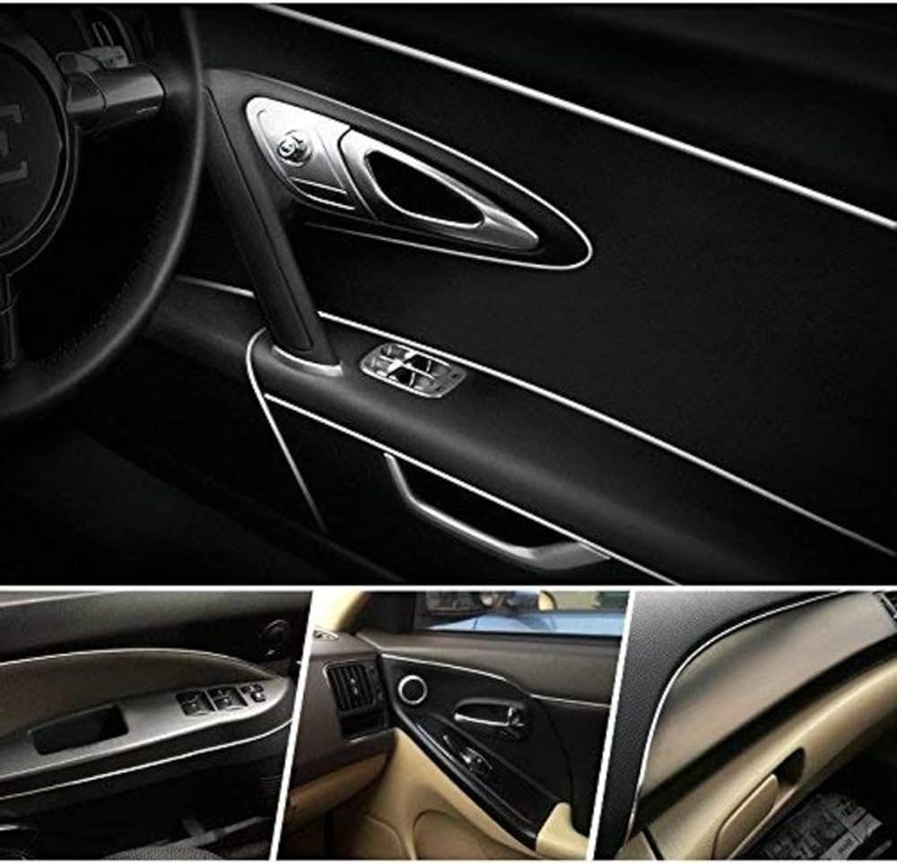
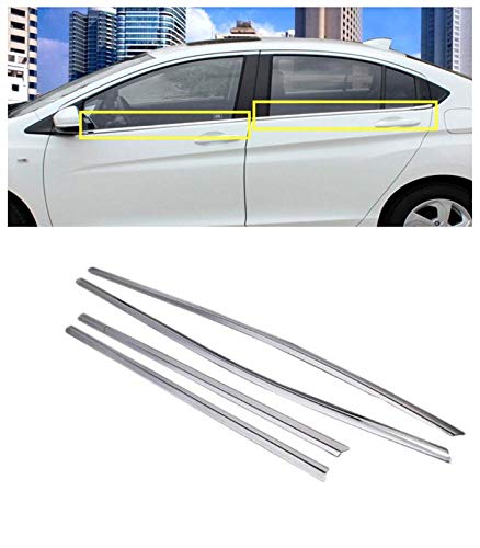 Window Garnishing
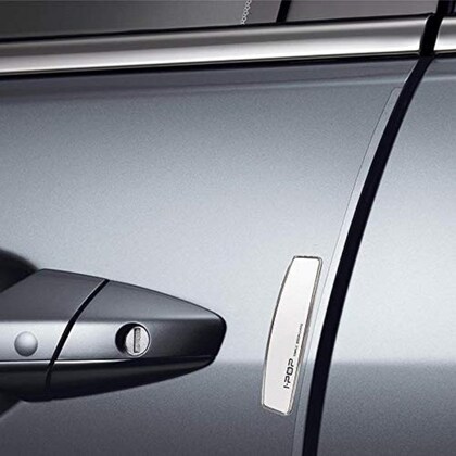 Door Guards
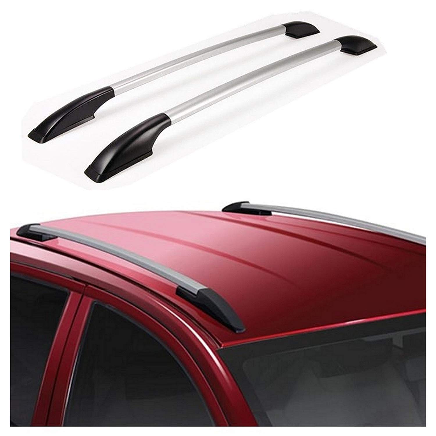 Roof Rails
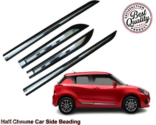 Side Beading
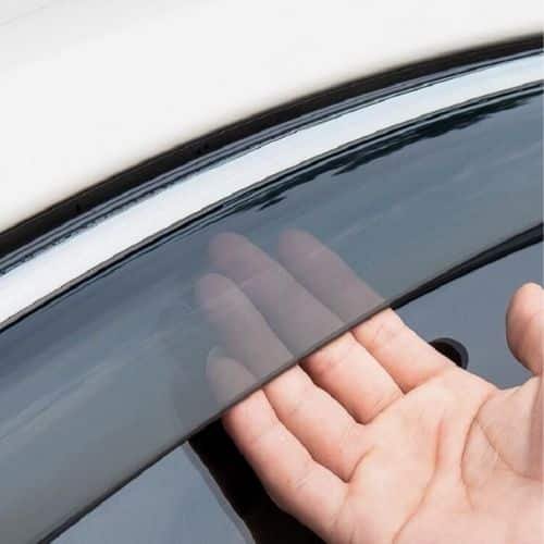 Door Visor
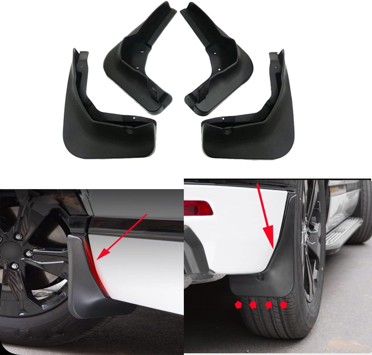 Mud Flap
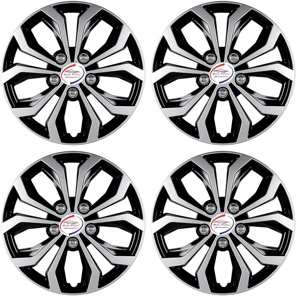 Wheel Cover
 Foot Rest
 Interior
›
Interior
›
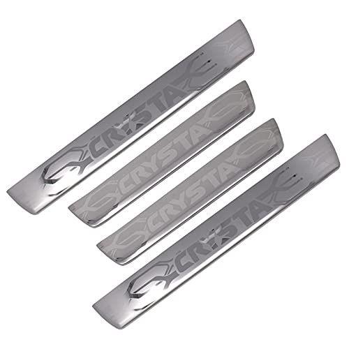 Door Scuff Sill Plates
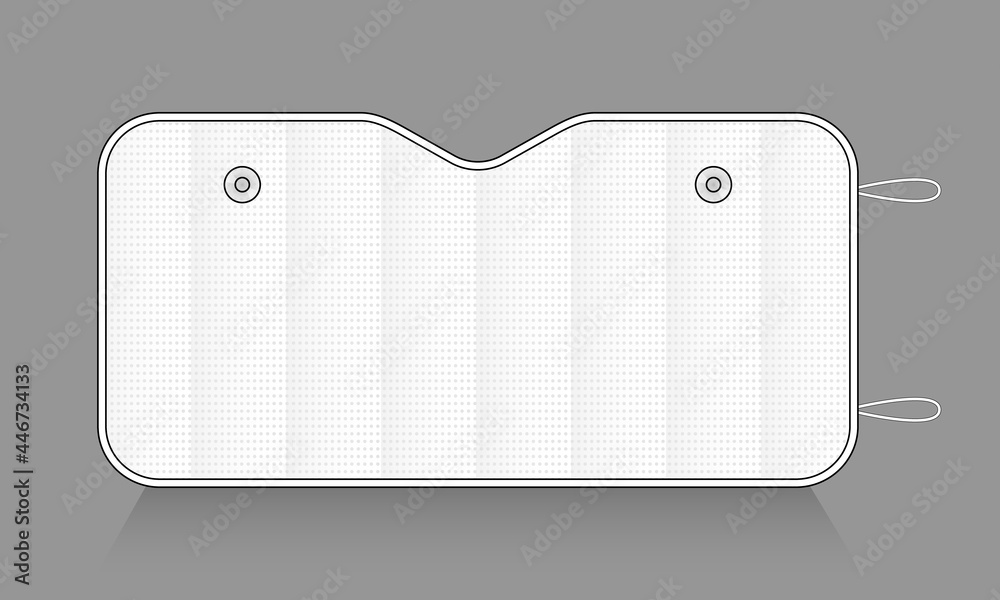 Window Sunshades & Film
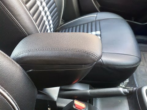 Armrest
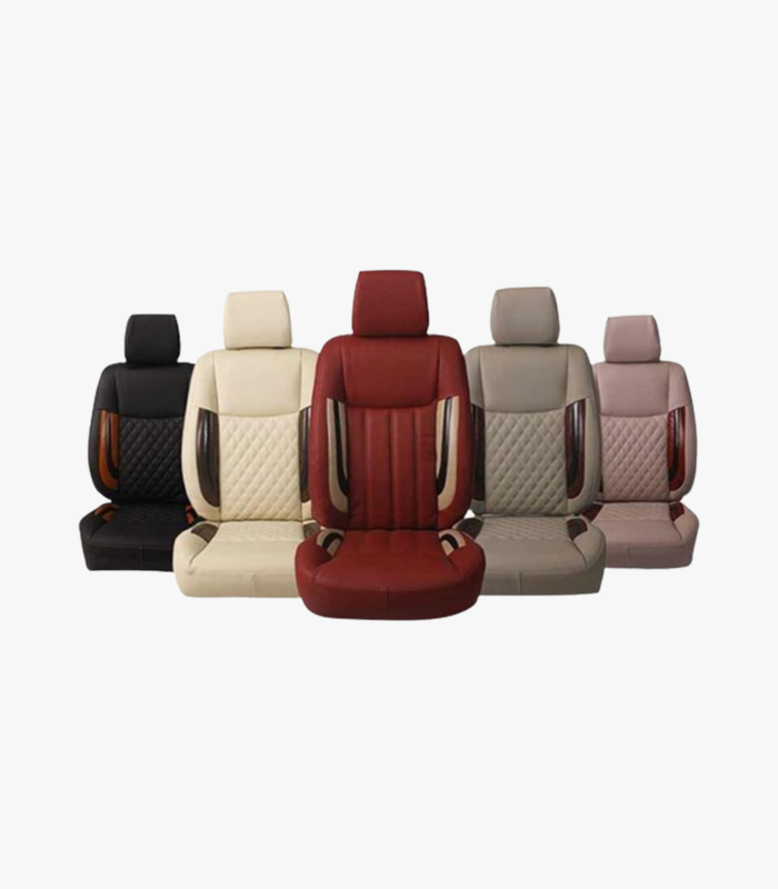 Seat Covers
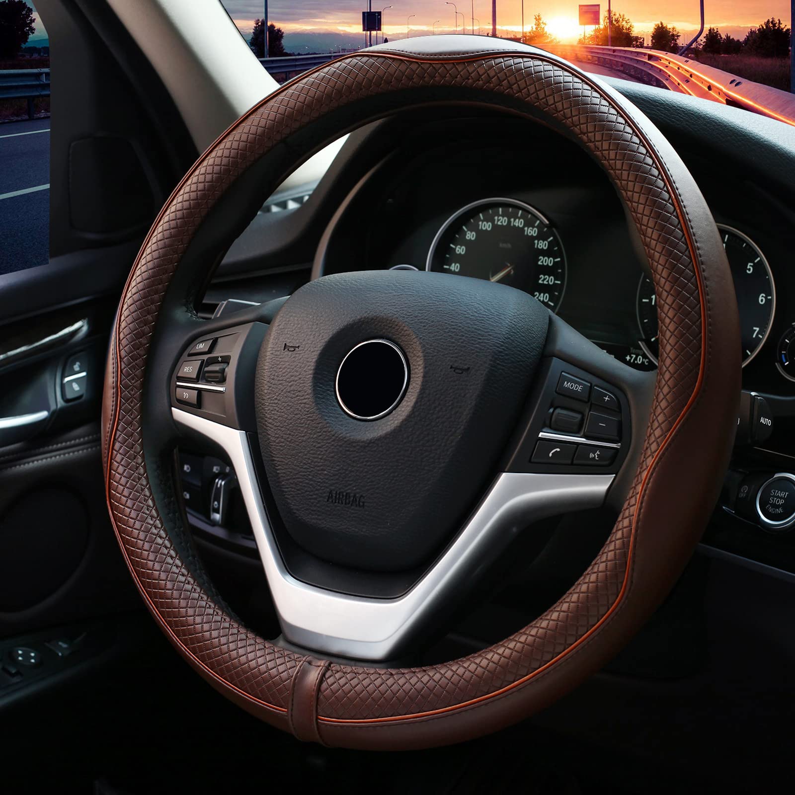 Steering Cover
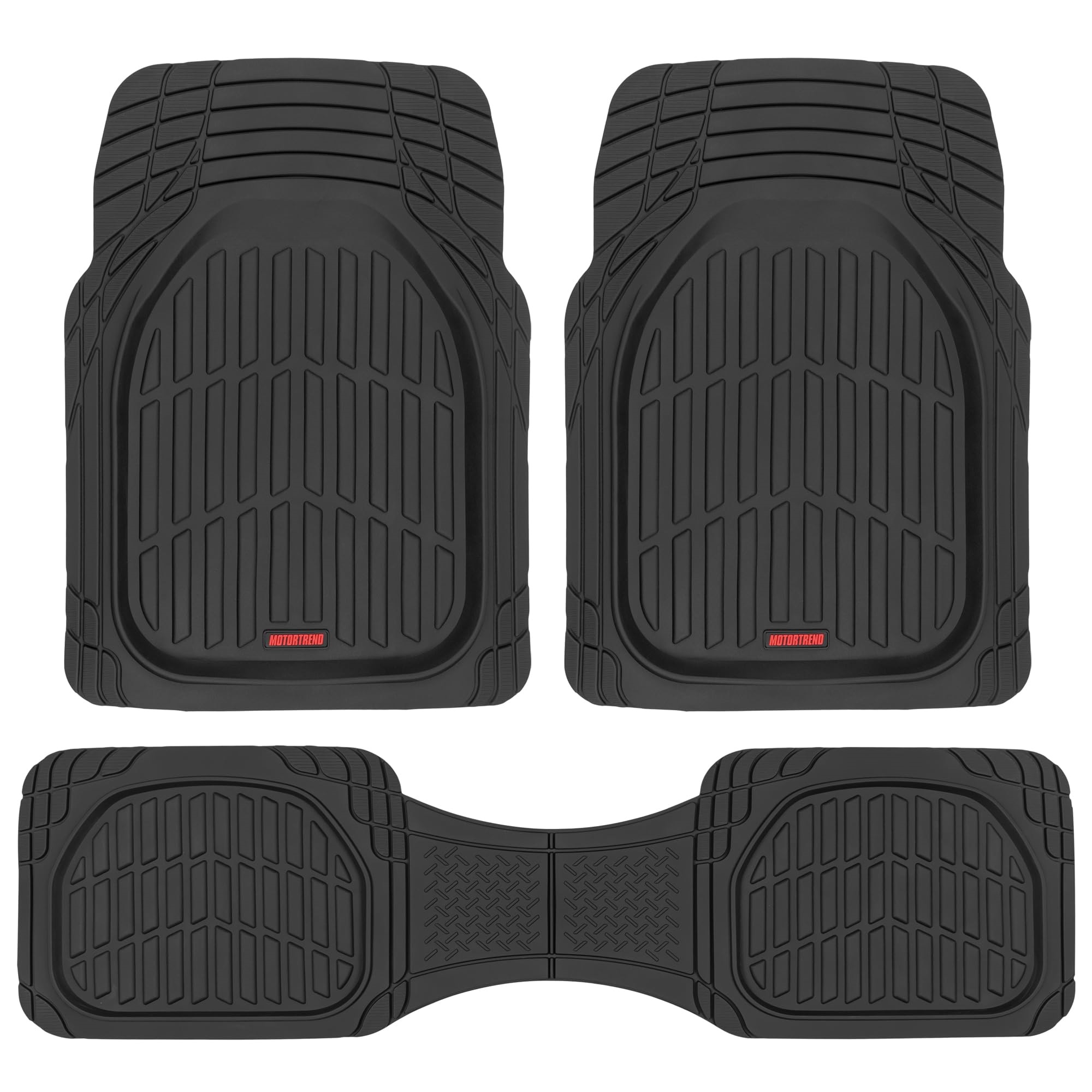 Floor Mats
 Dashboard Showpiece
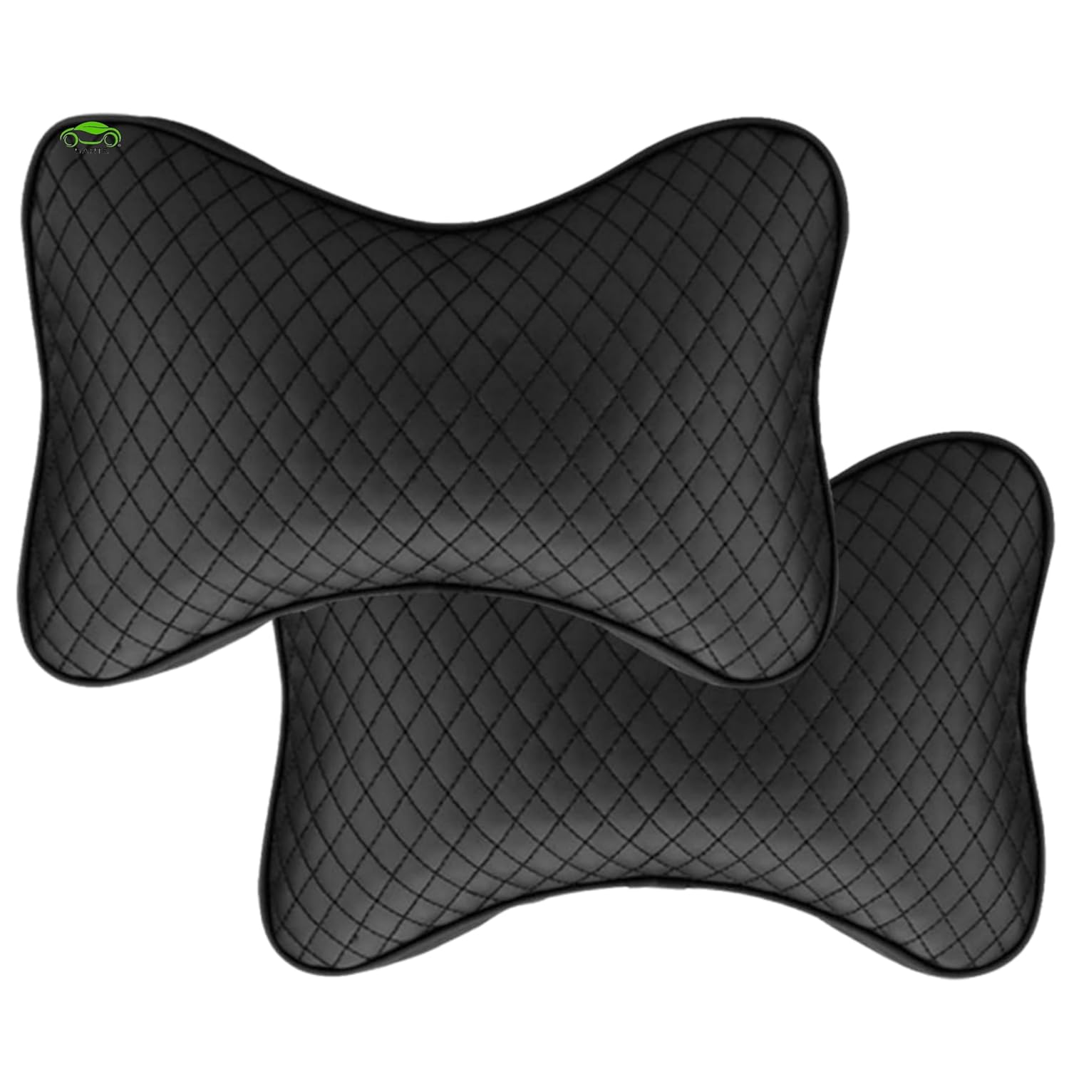 Seat & Neck Cushion
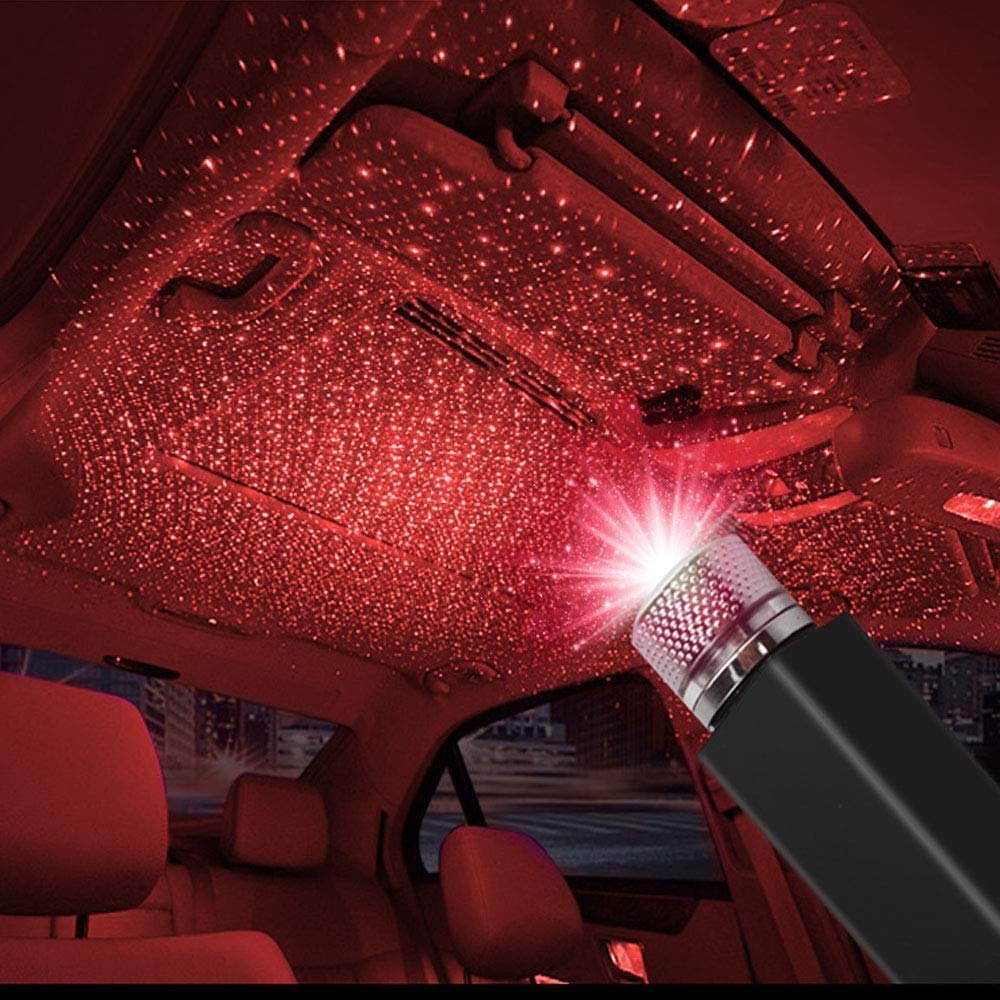
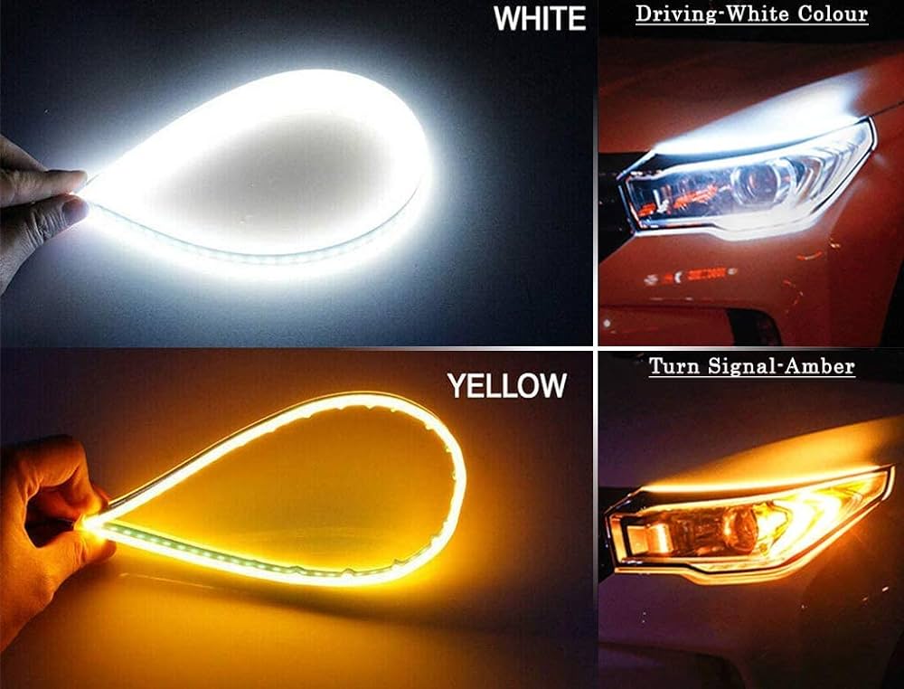
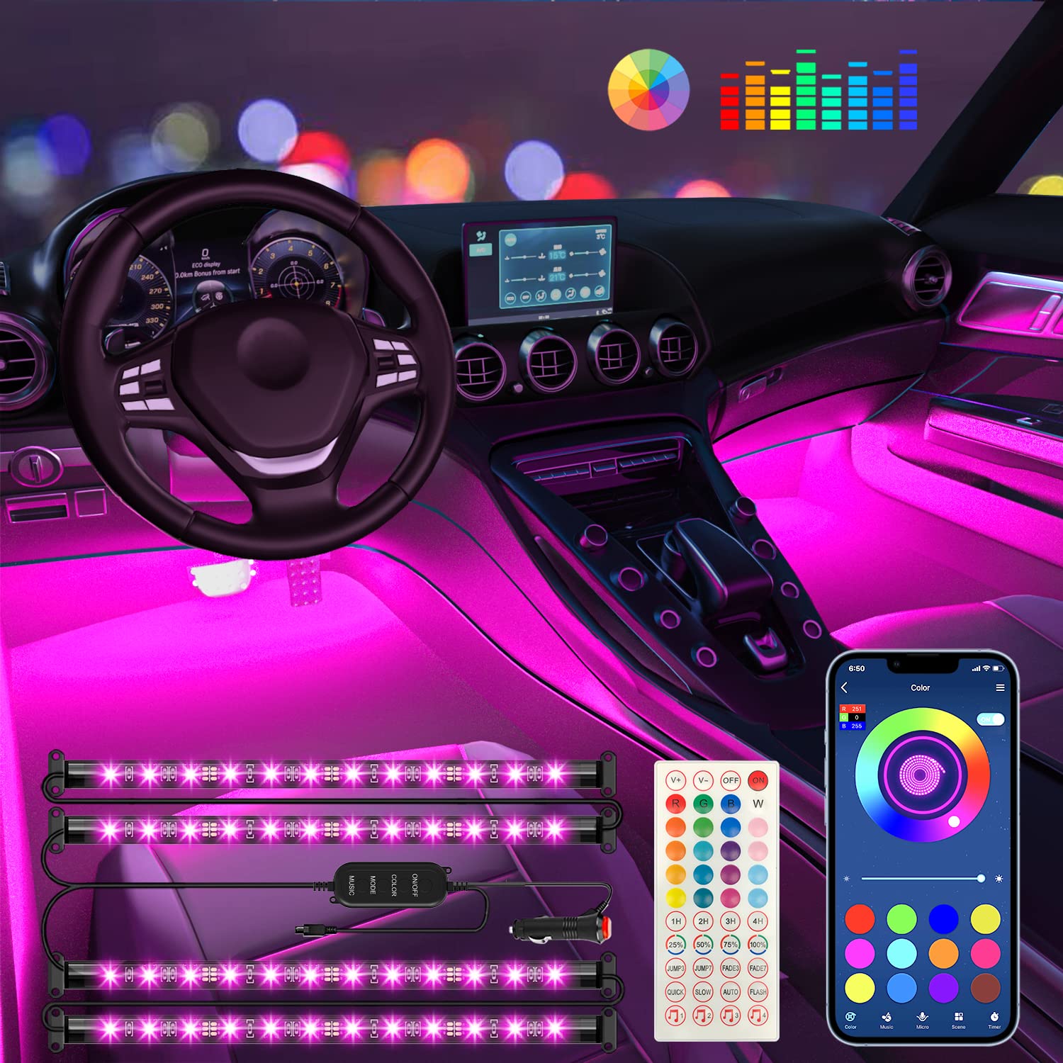
 Lighting
›
Lighting
›
 Utility
›
Utility
›
 All Chrome Items
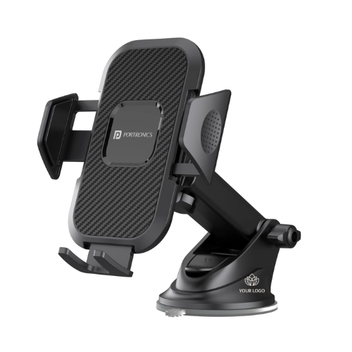 Mobile Holder
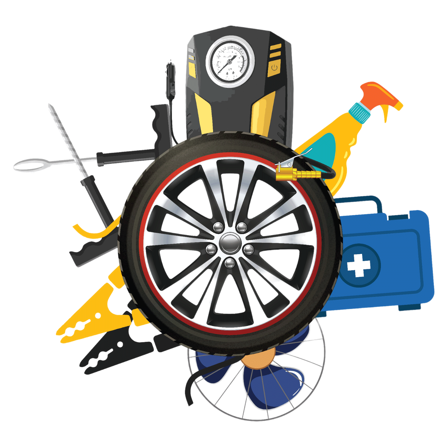
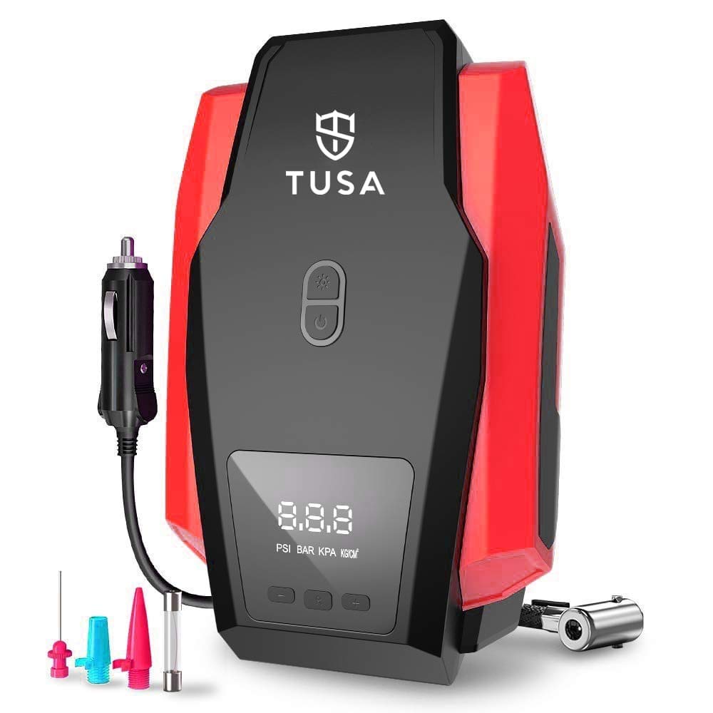 Tyre Inflators
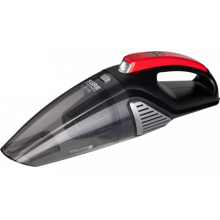 Vacuum Cleaner
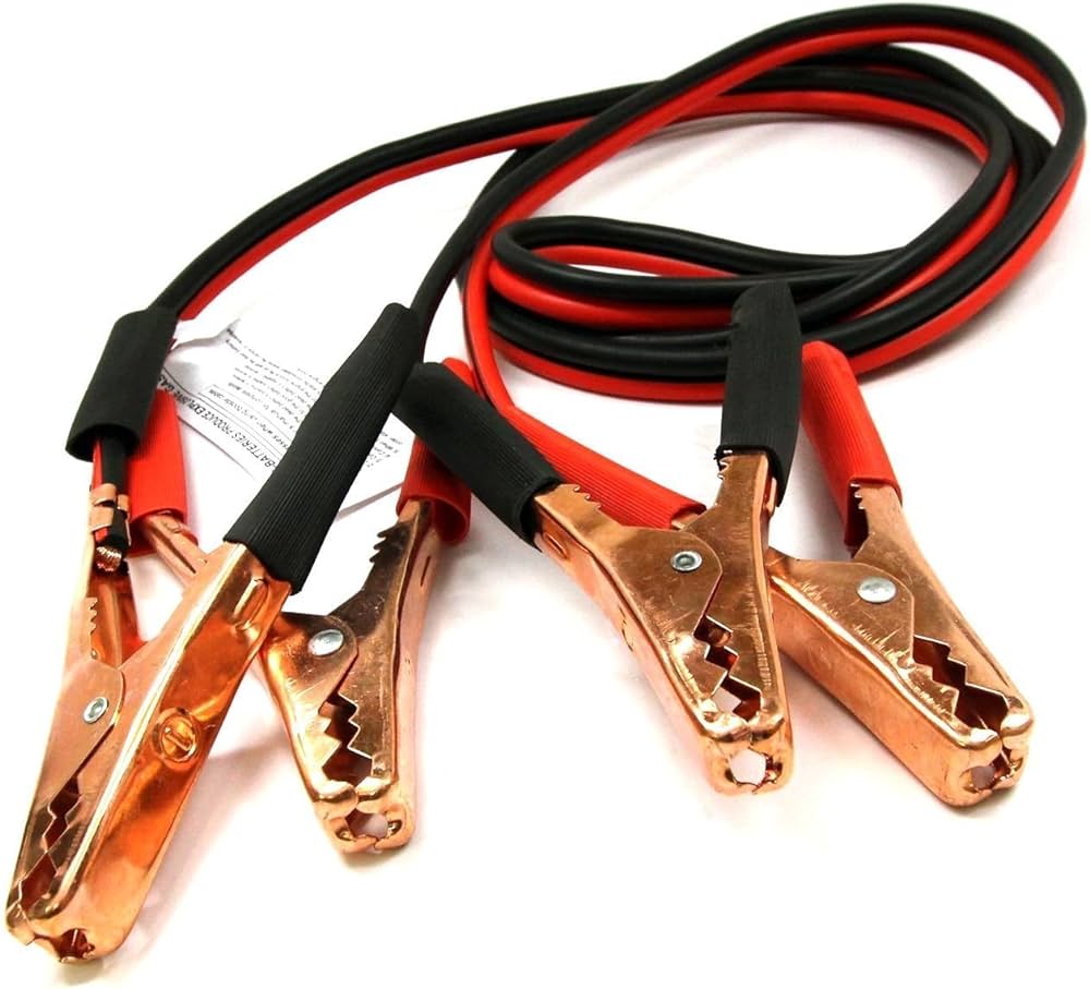 Jumper Cable
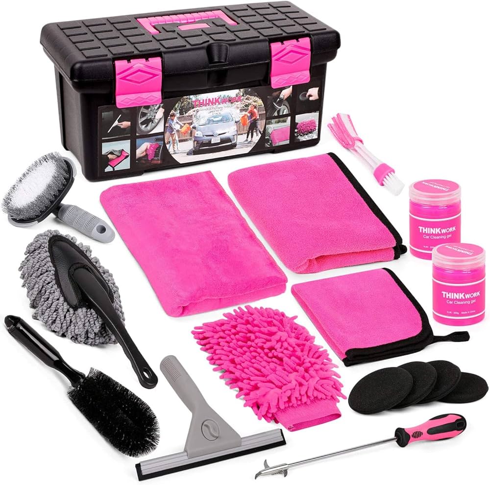 Cleaning Kit
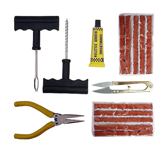 Tyre Puncture Kit
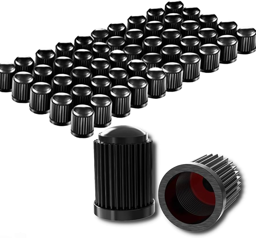 Tyre Valve Cap
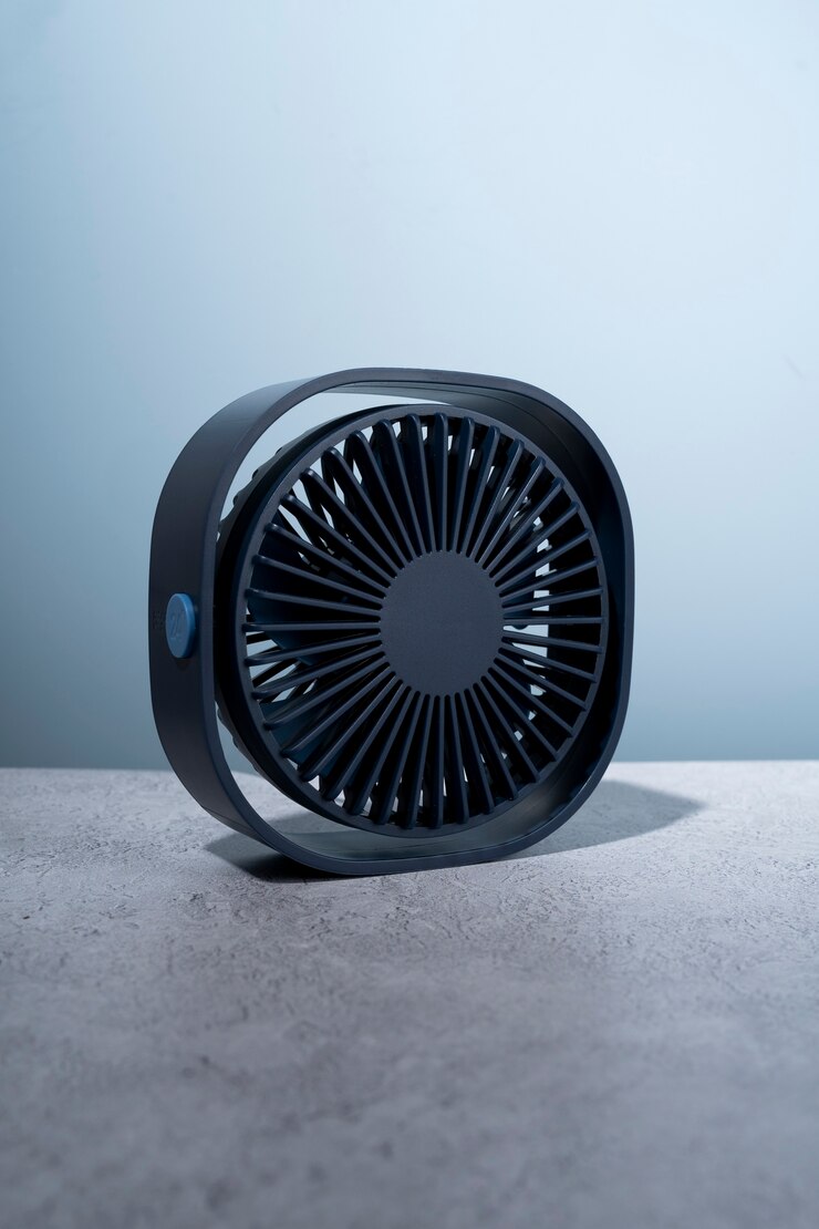 Car Fan
 Parcel Tray
 Electronic
›
Electronic
›
 Parts
›
Parts
›
 Fog Lights
 Headlights
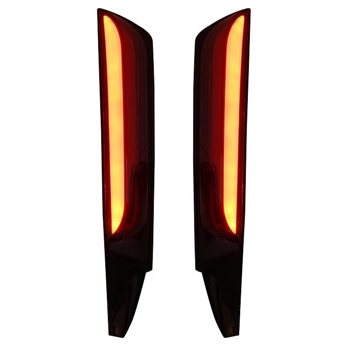
 Tail Lights
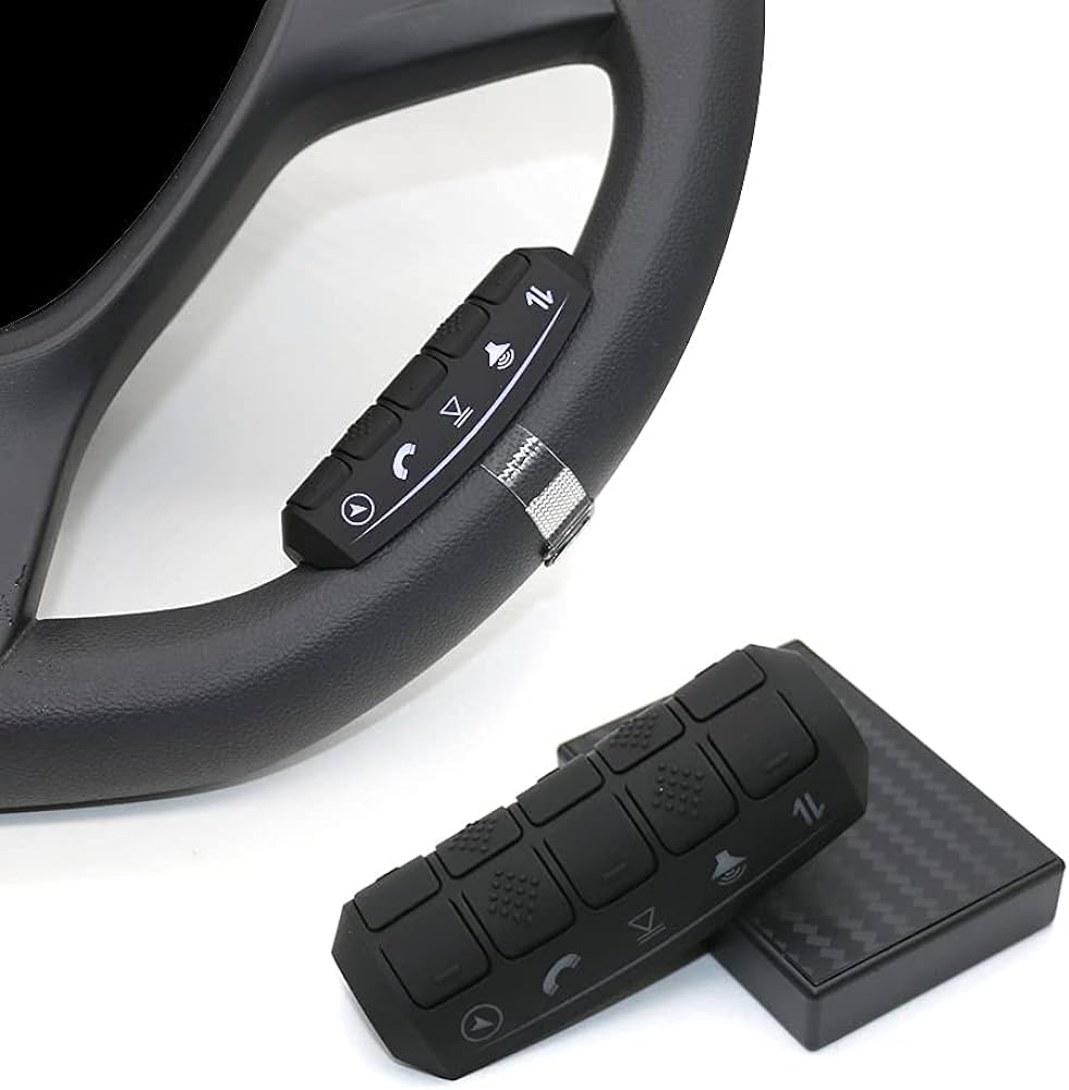 Steering Wheel Controls
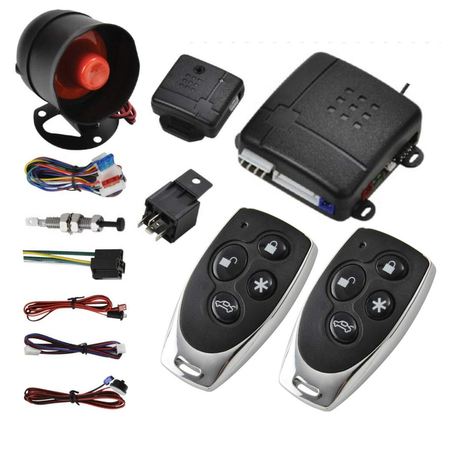
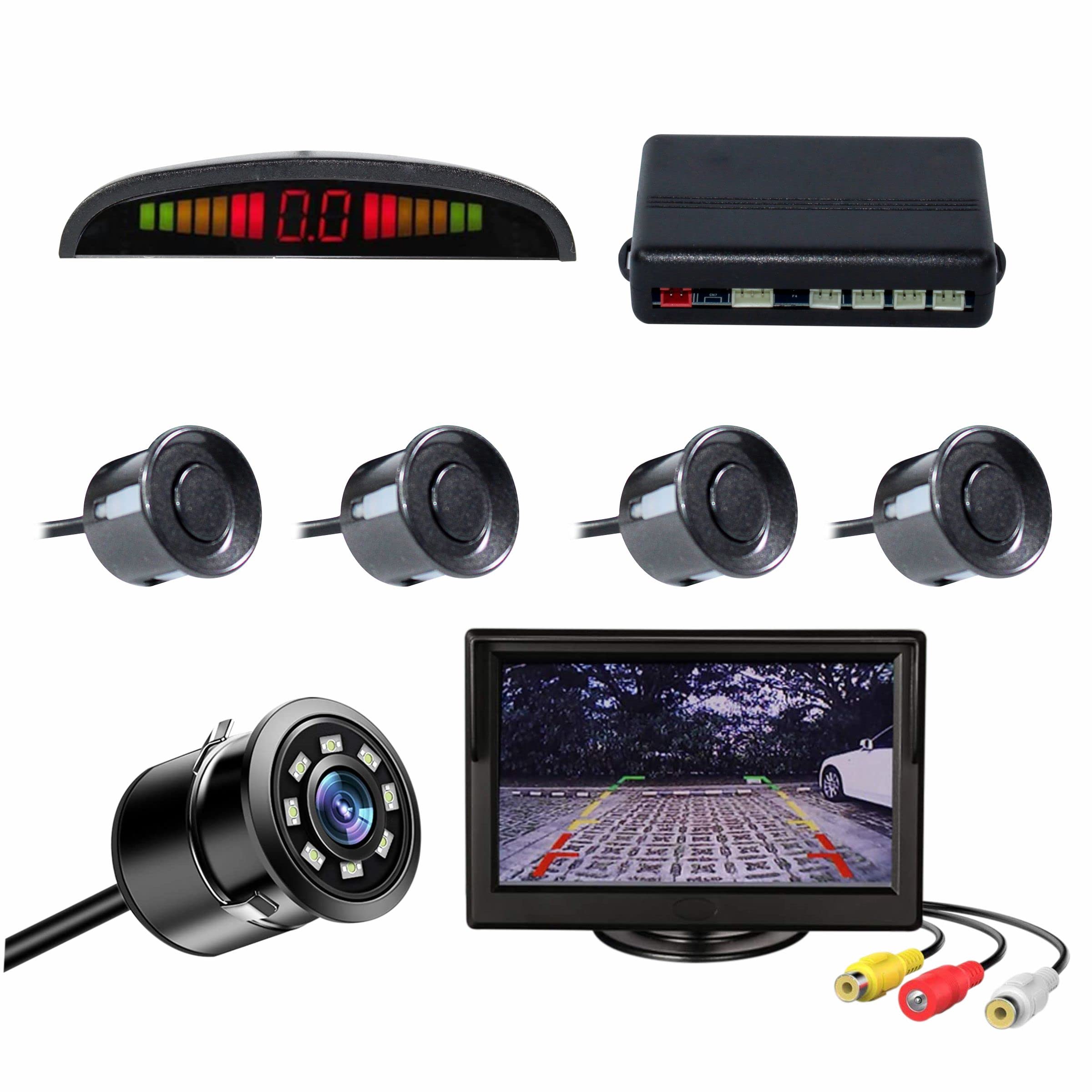 Sensor
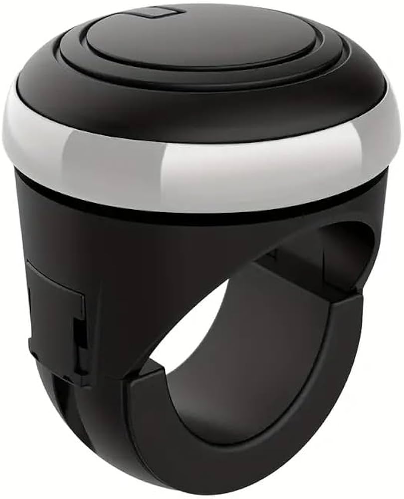
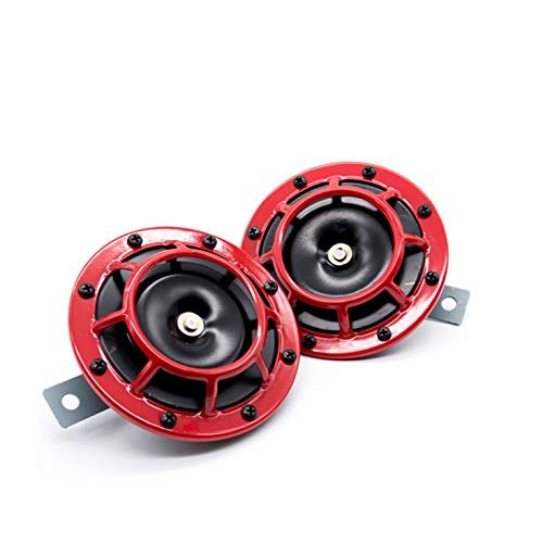 Horns
Horns
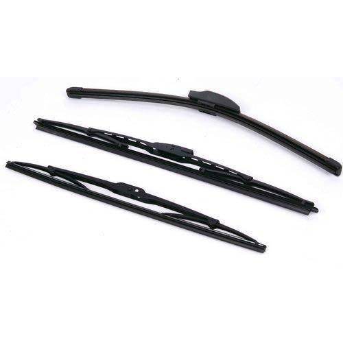 Wiper Blade
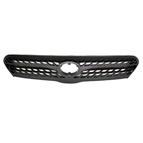 Front Grille
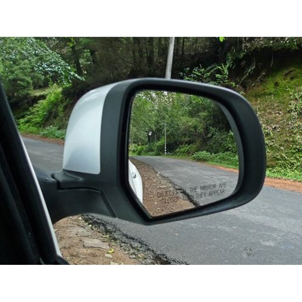 Side Mirror
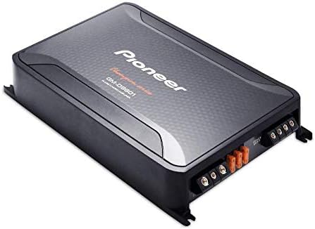
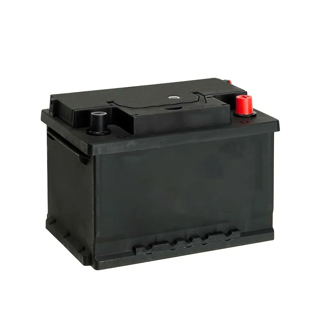 Battery
 Car Care
›
Car Care
›
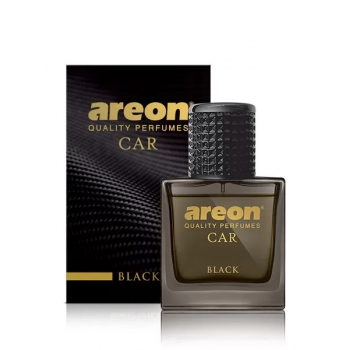 Air Freshener & Perfume
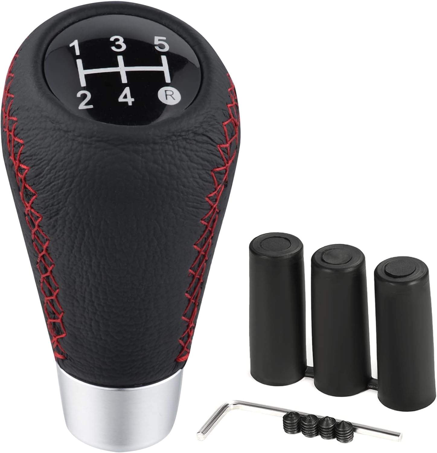 Gear knob
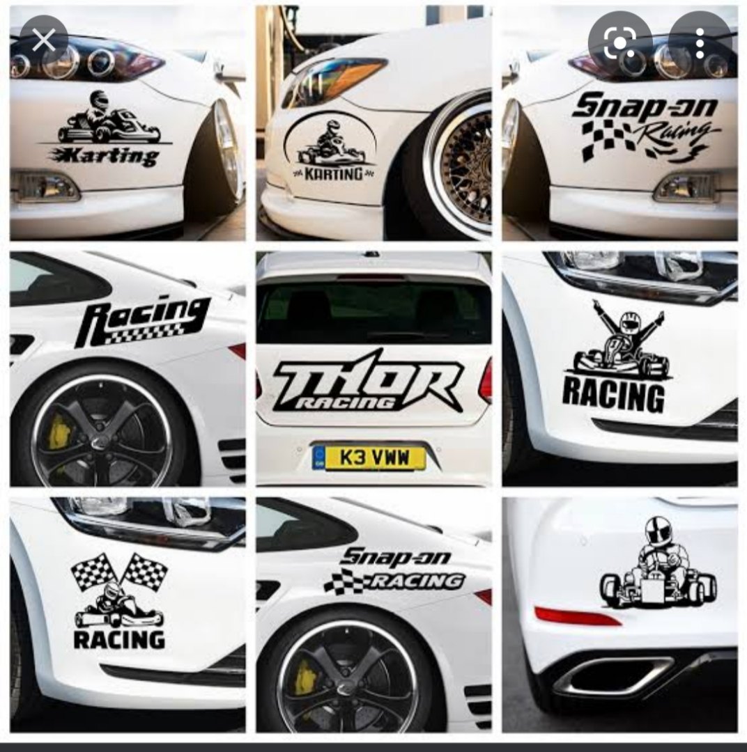 Stickers & Decals
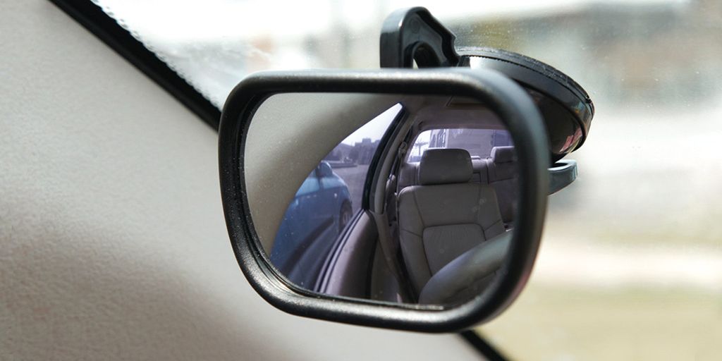 Blind Spot Mirror
 Steering Knob
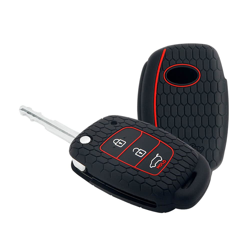 Key Covers
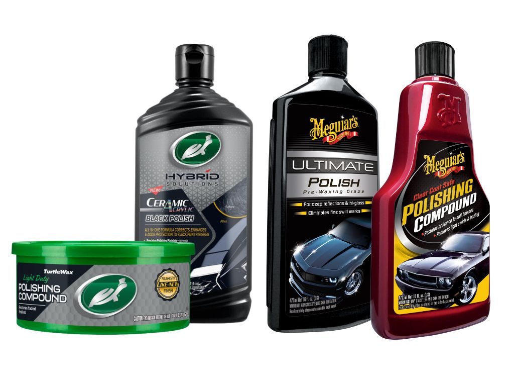 Polish & Scratch Remover
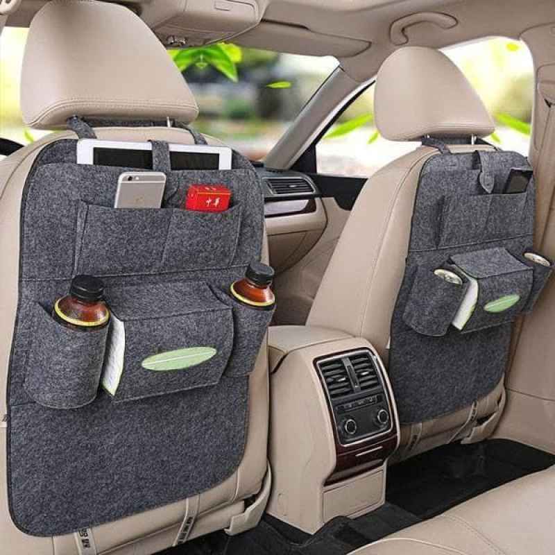 Seat Utility Holder
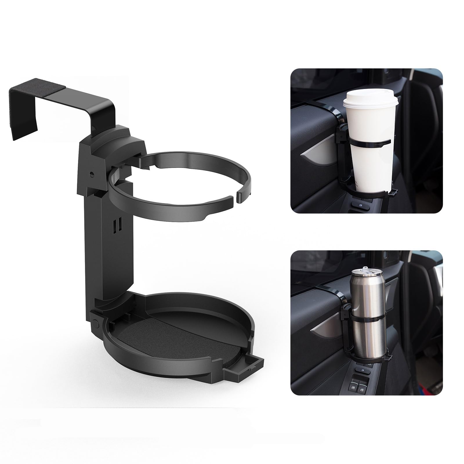 Cup Holder
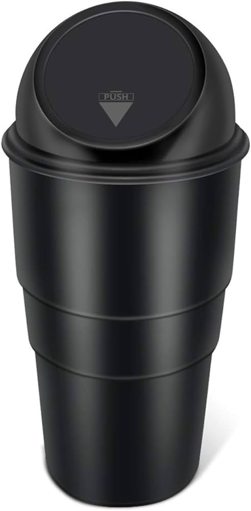 Dustbin
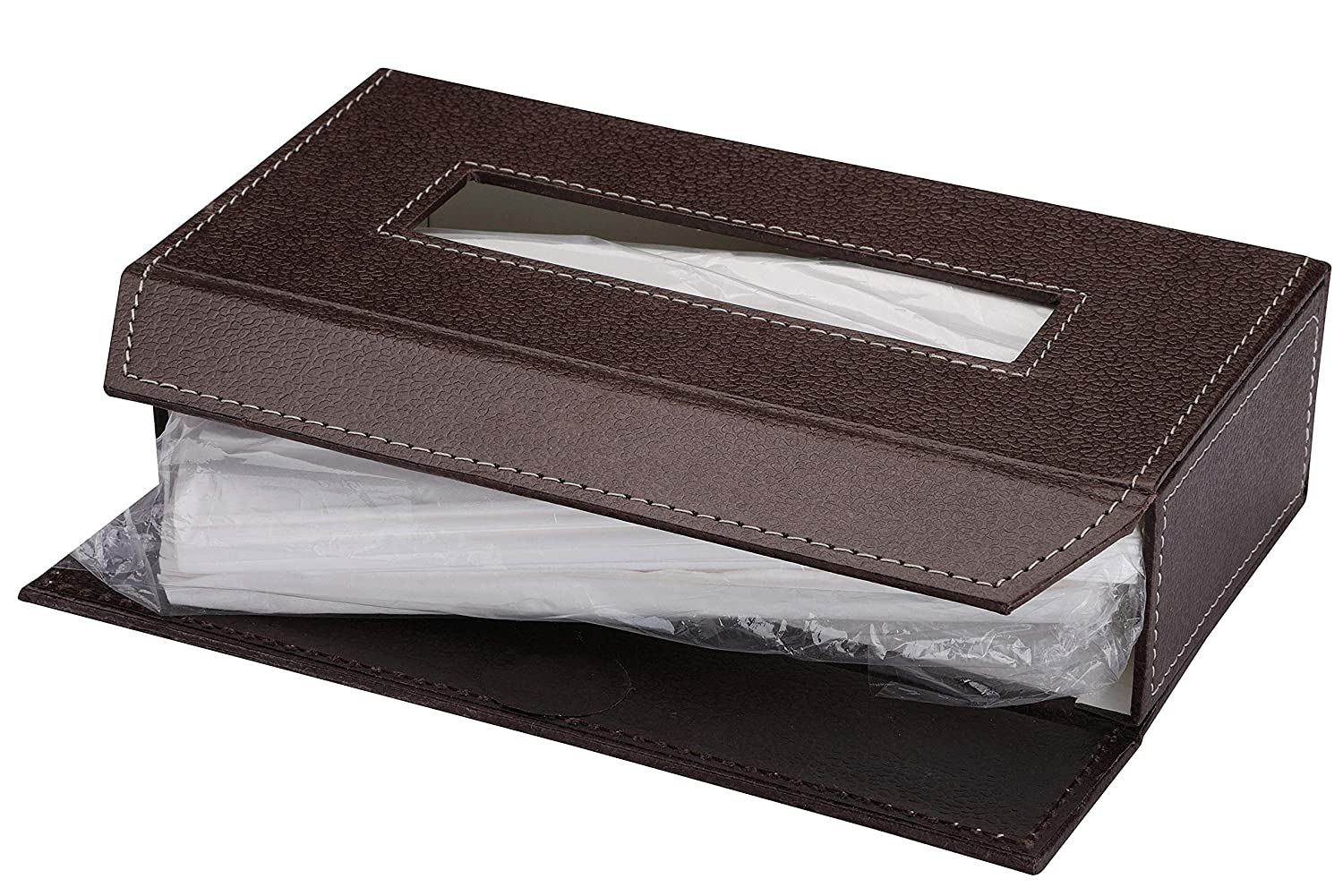 Paper Napkin
 Shop By Car
›
Shop By Car
›
 Tata
›
Tata
›
 Maruti Suzuki
›
Maruti Suzuki
›
 Hyundai
›
Hyundai
›
 Toyota
›
Toyota
›
 Mahindra
›
Mahindra
›
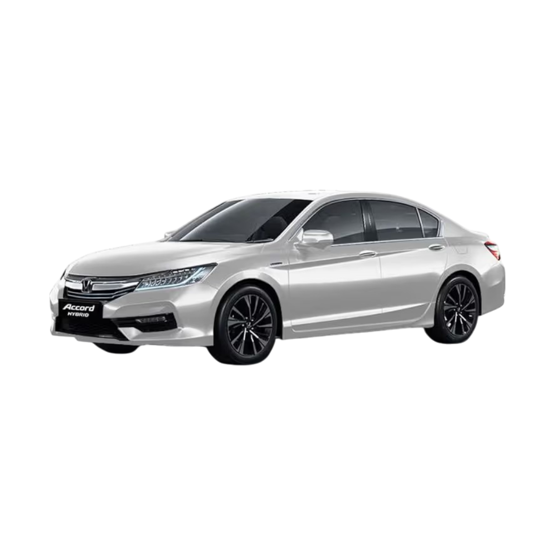
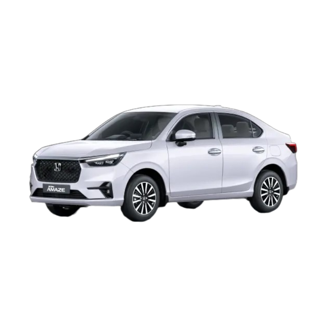
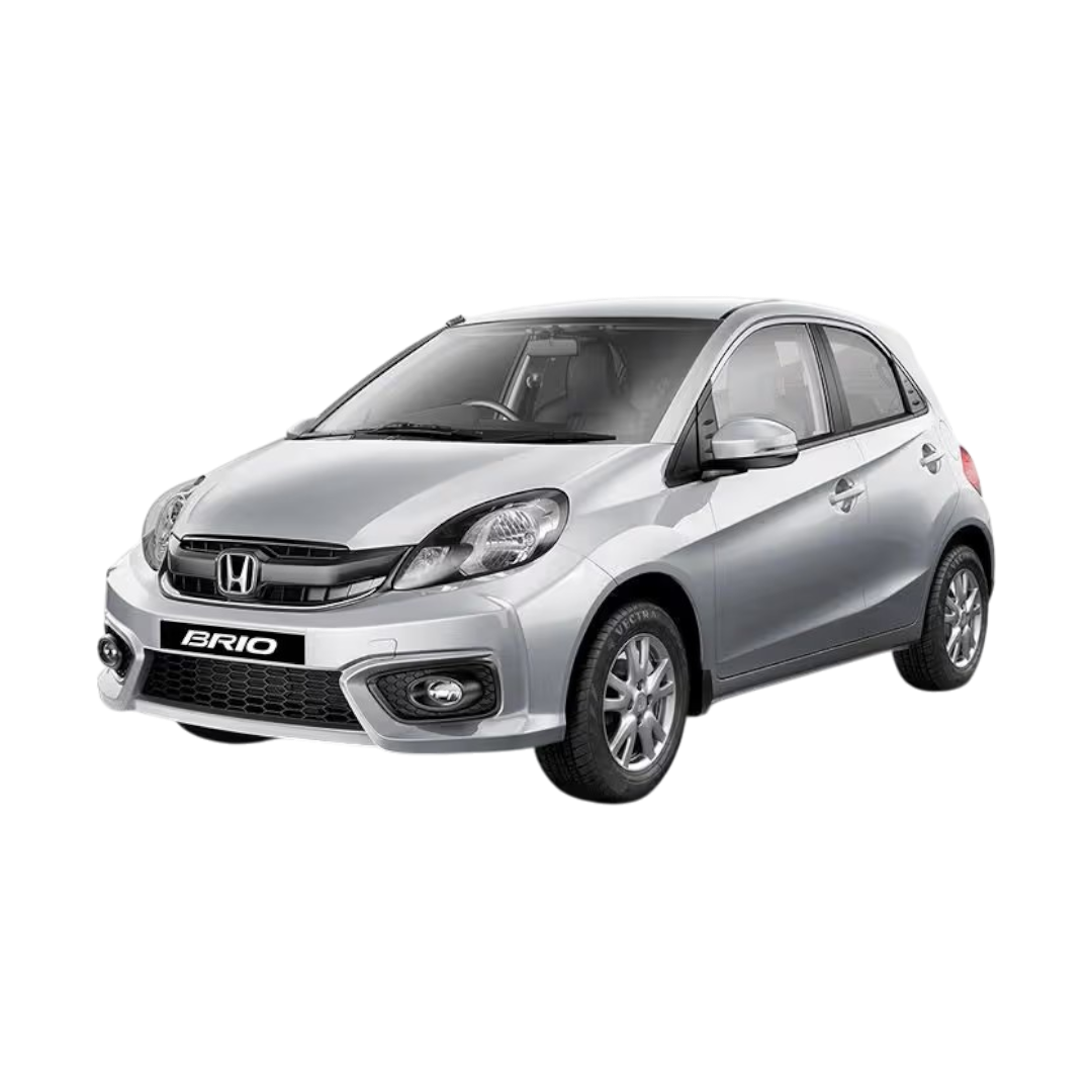
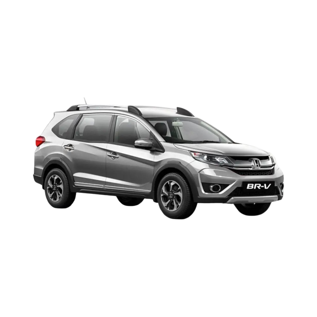
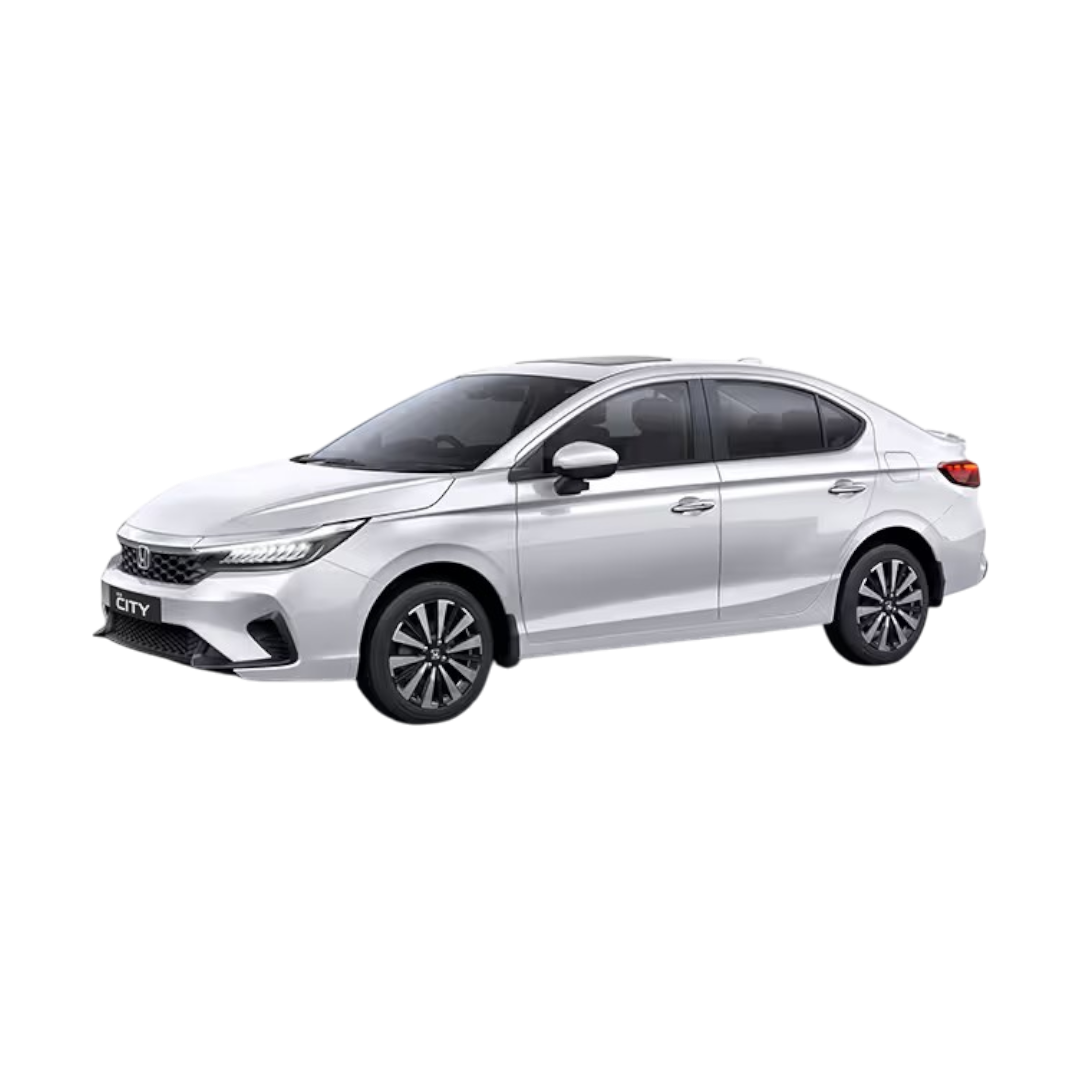
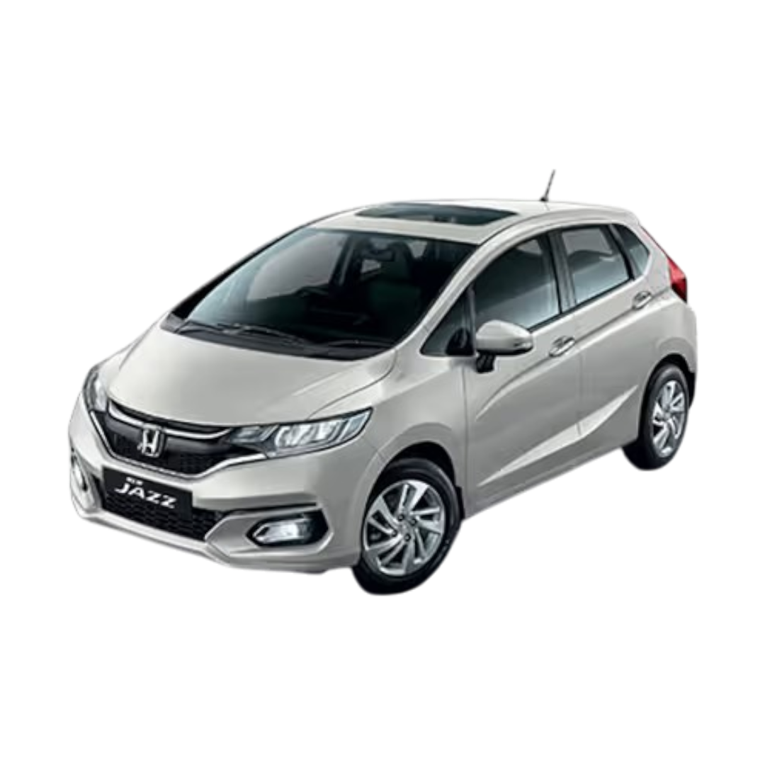
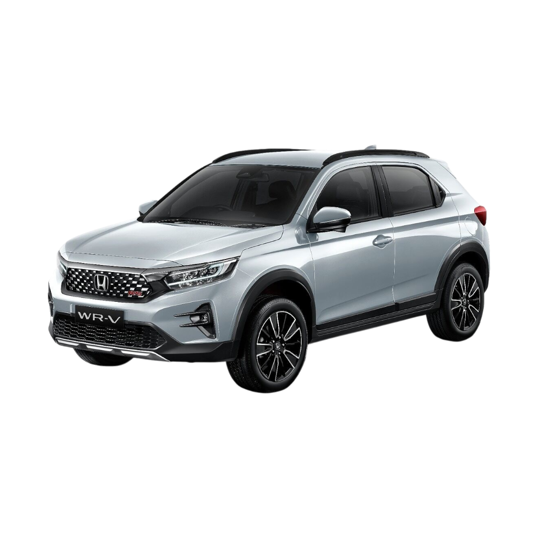
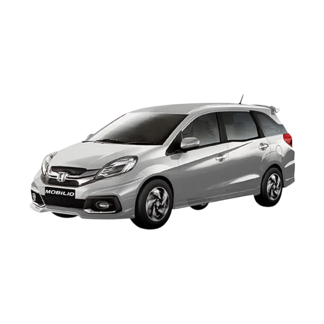
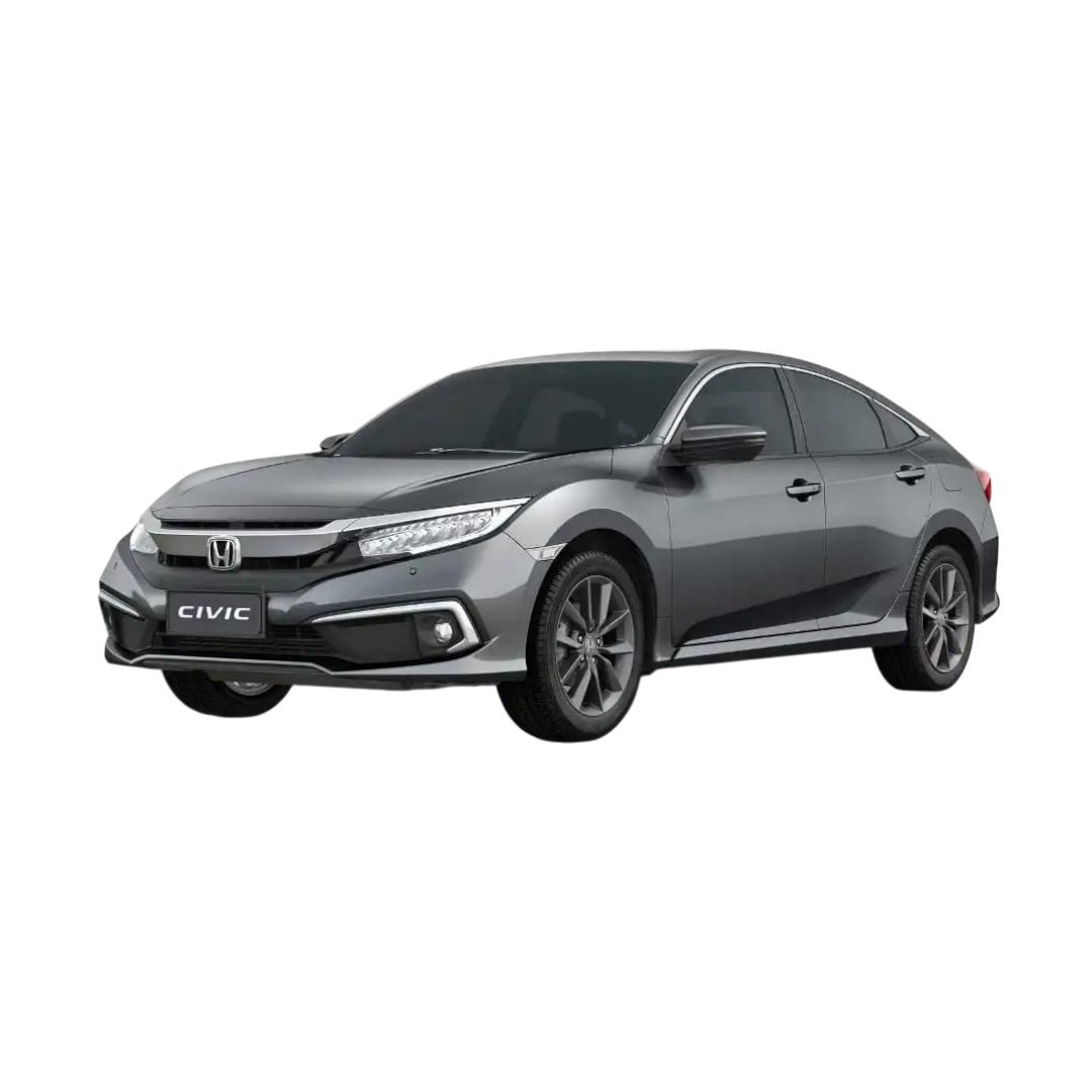
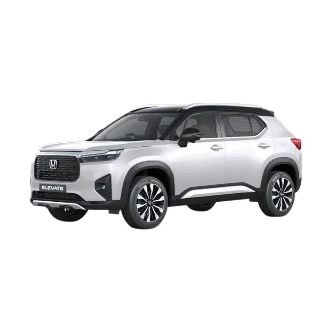
 Honda
›
Honda
›
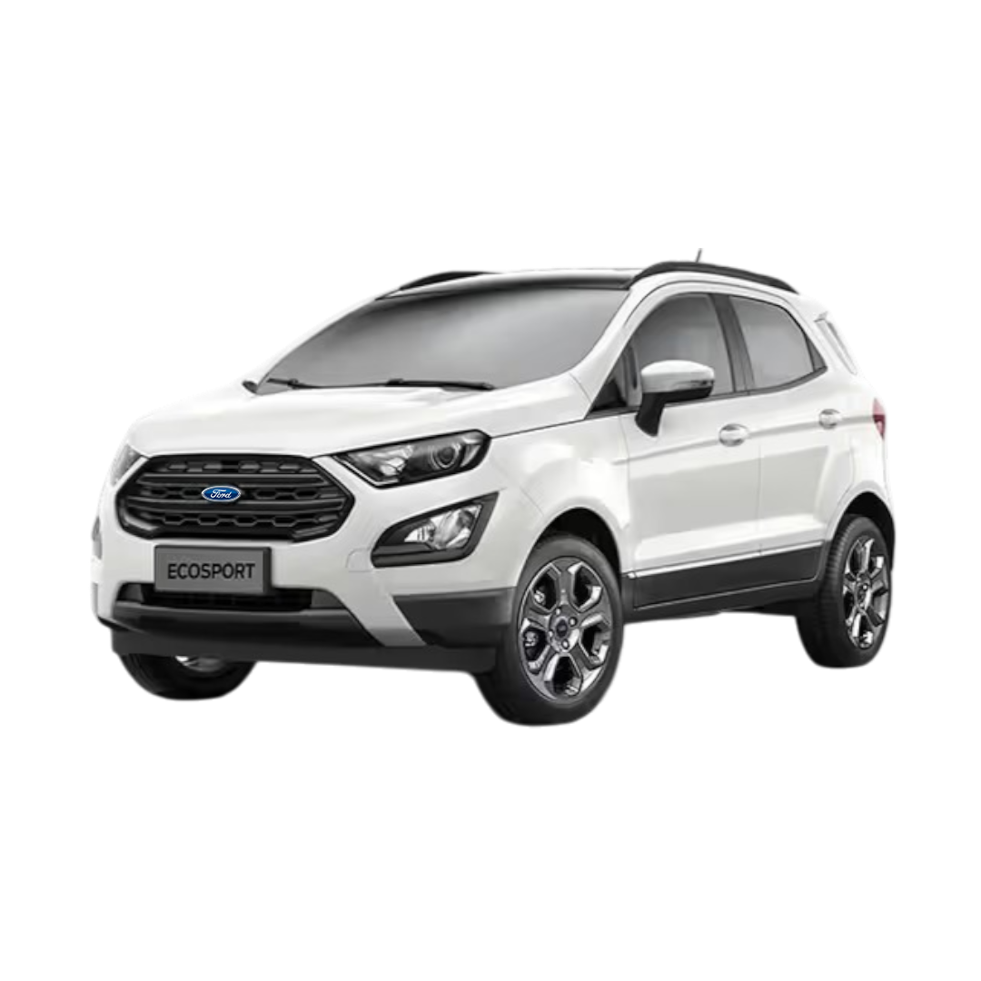
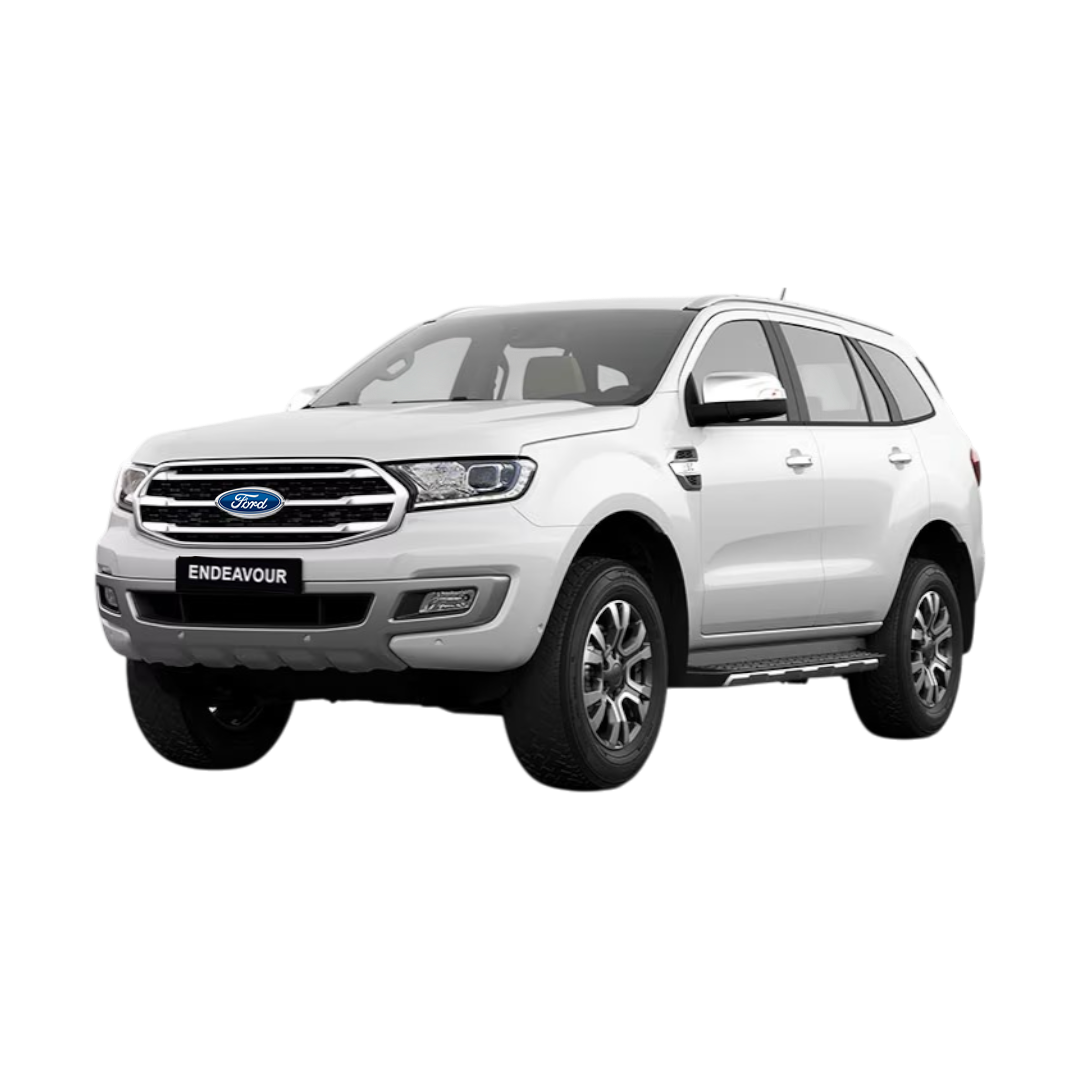
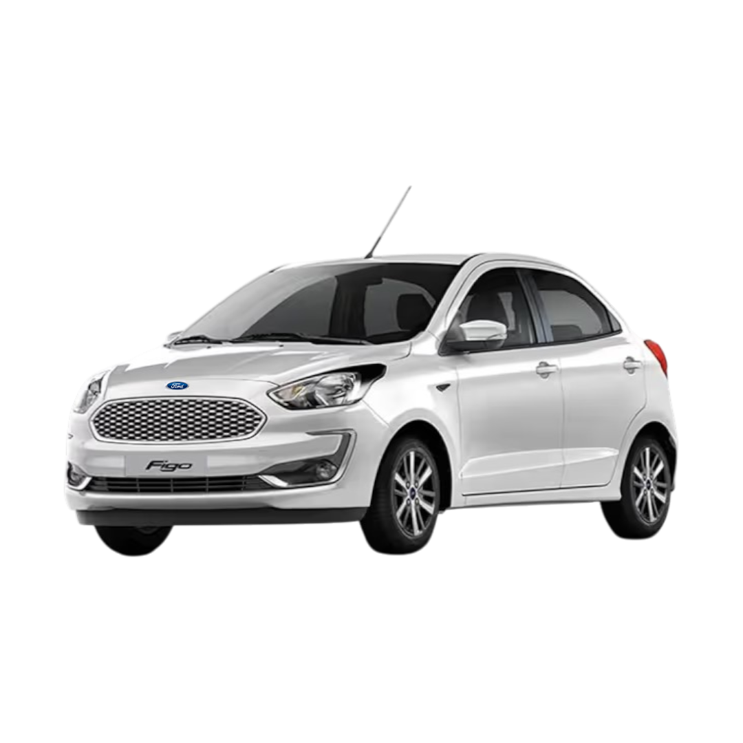
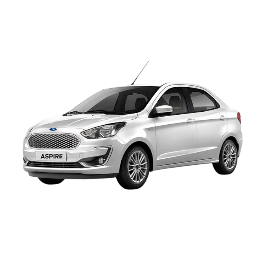
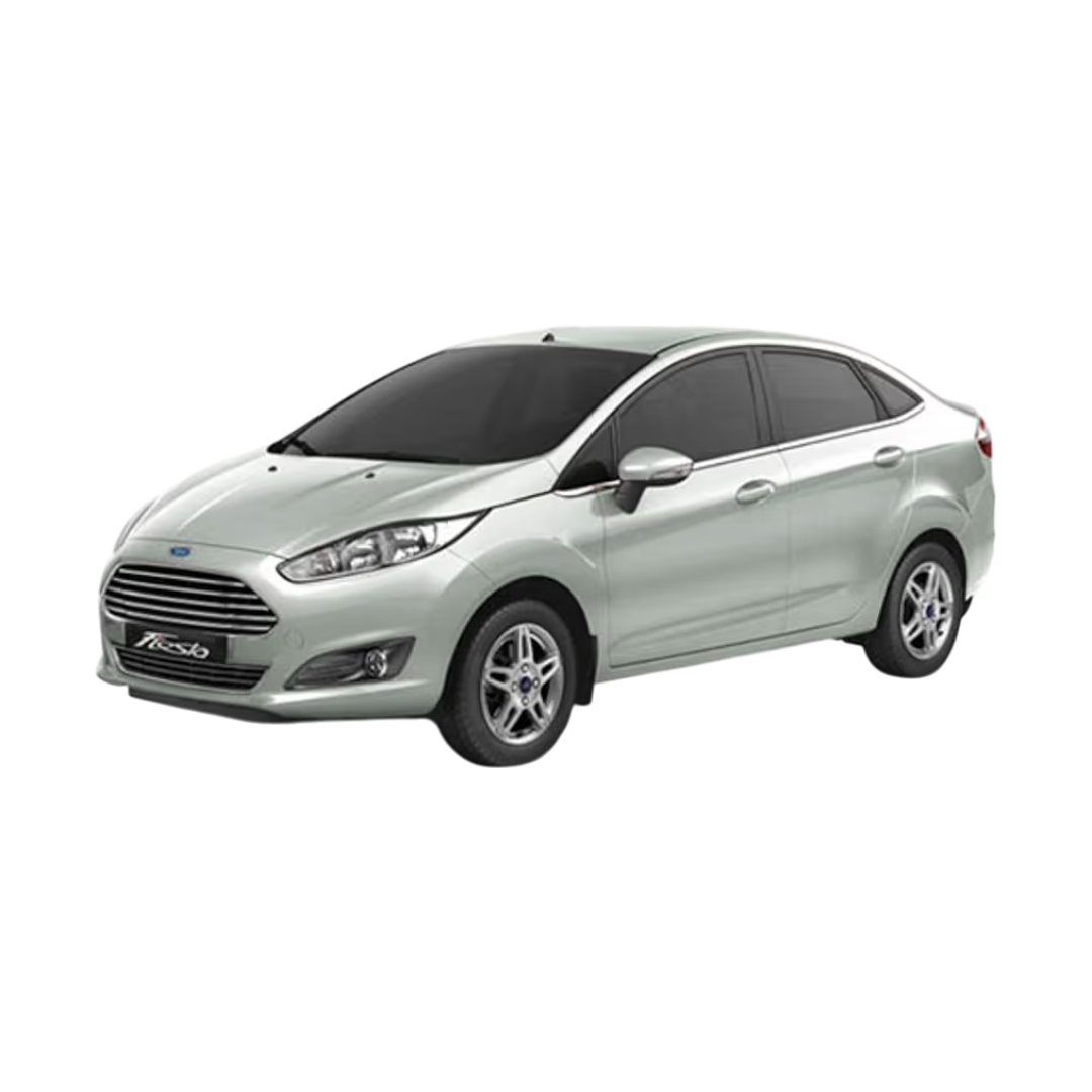
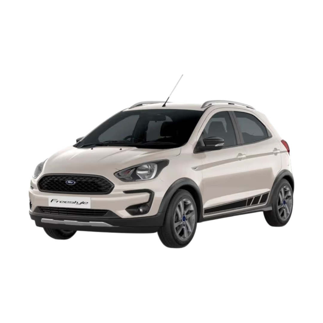
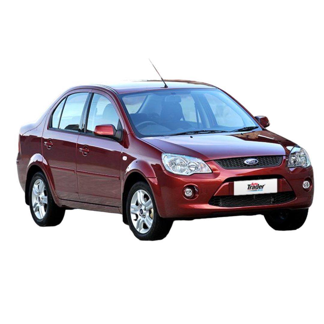
 Ford
›
Ford
›
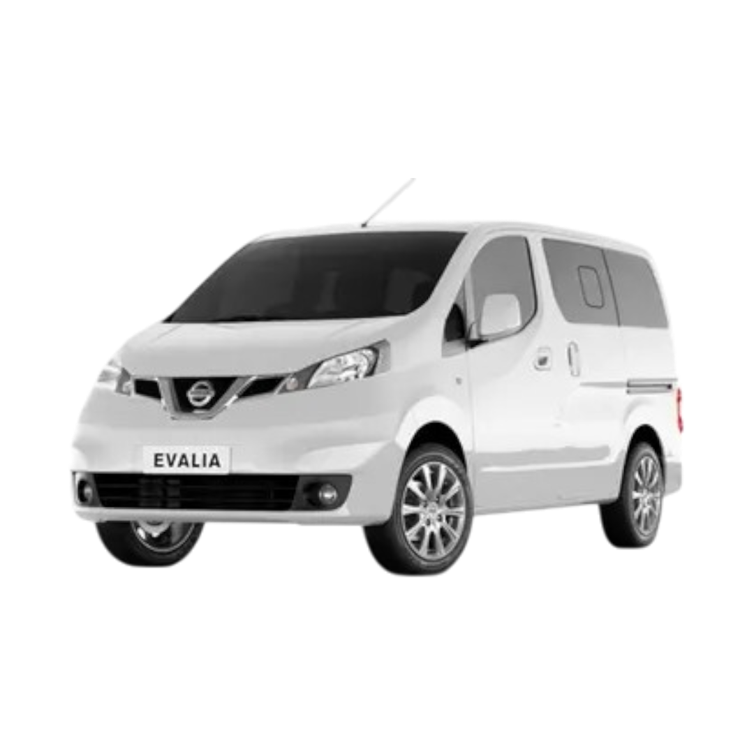
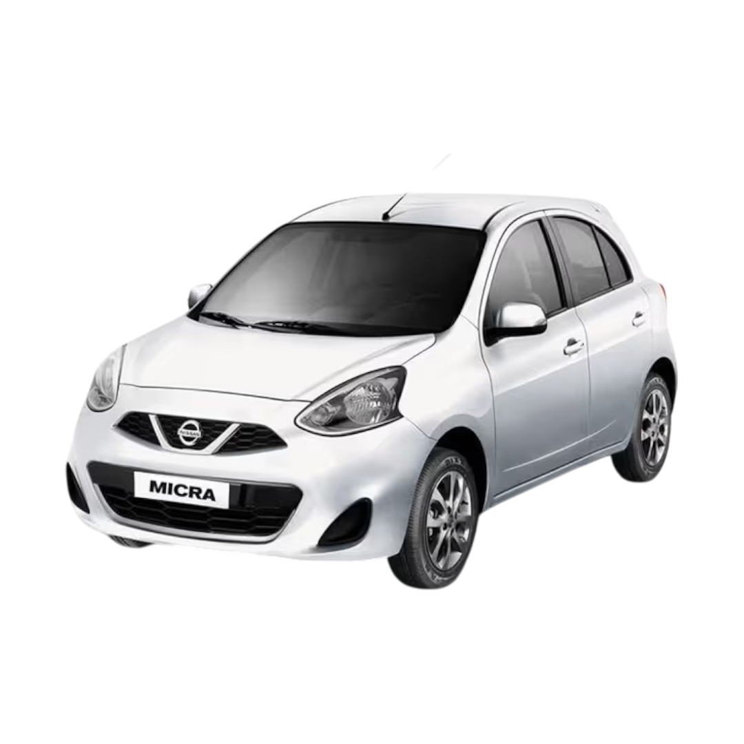
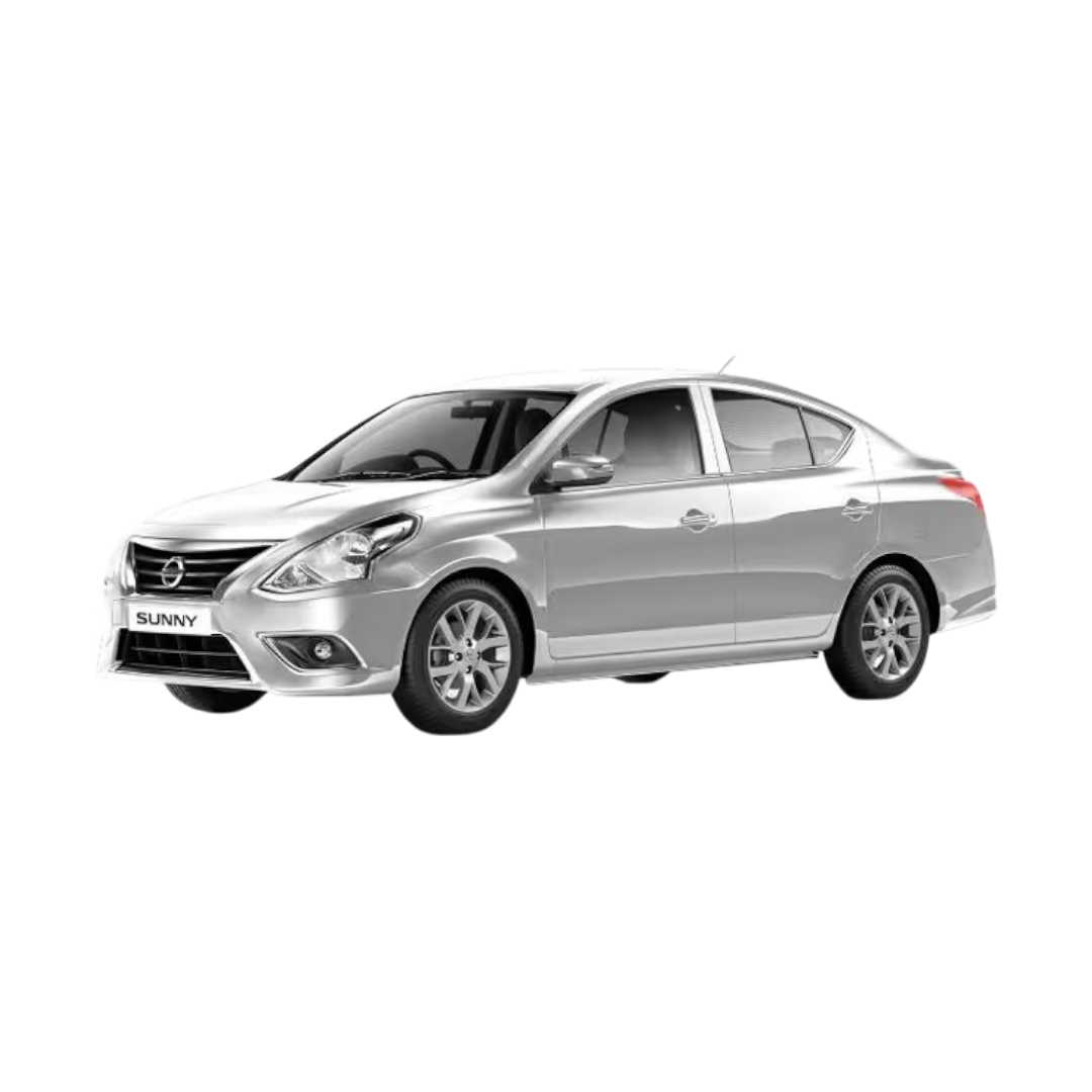
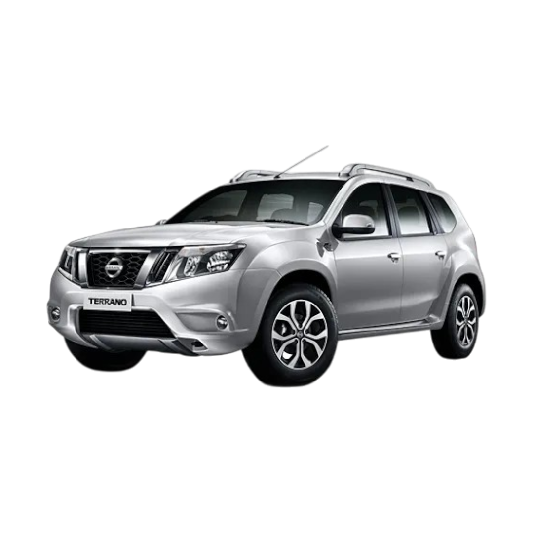
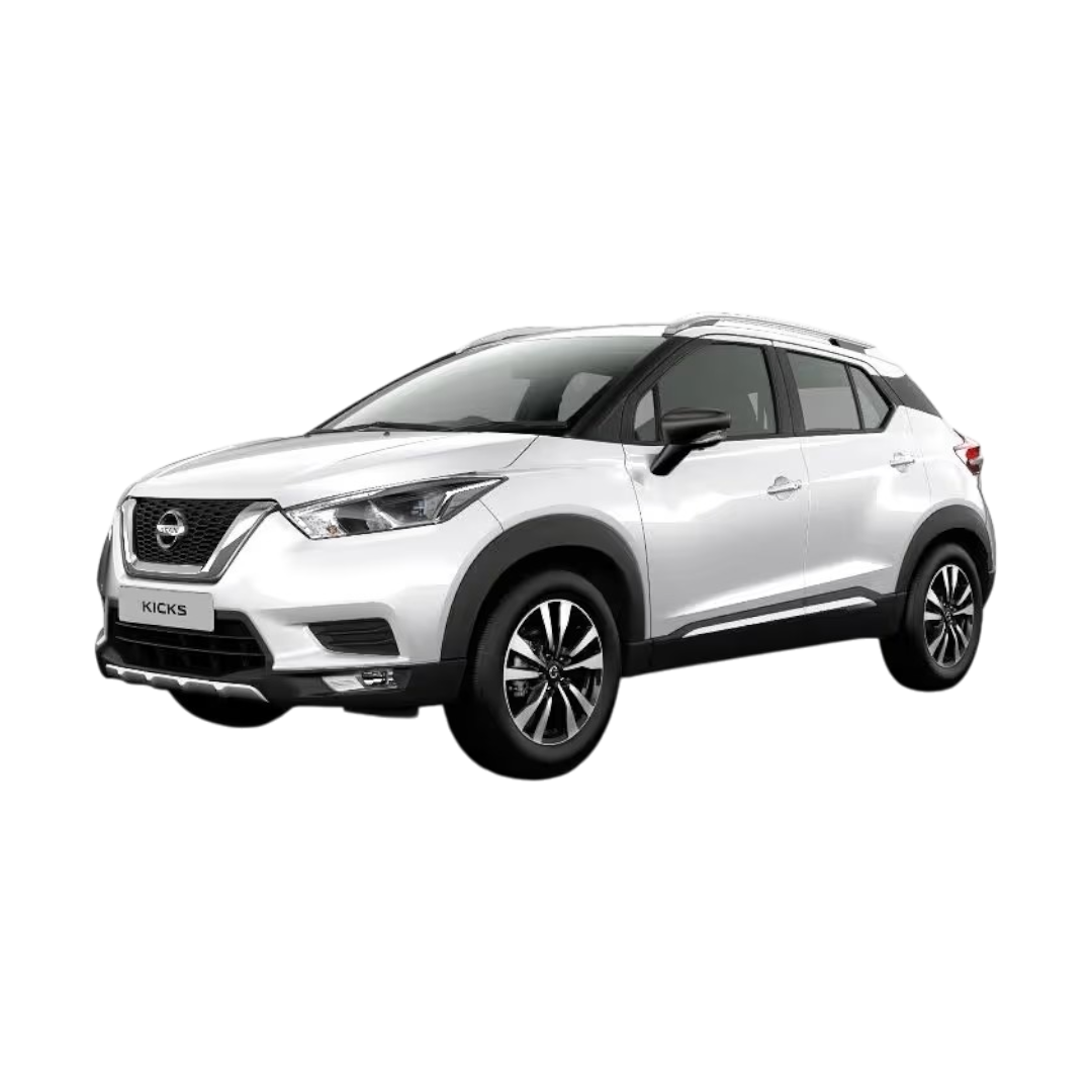
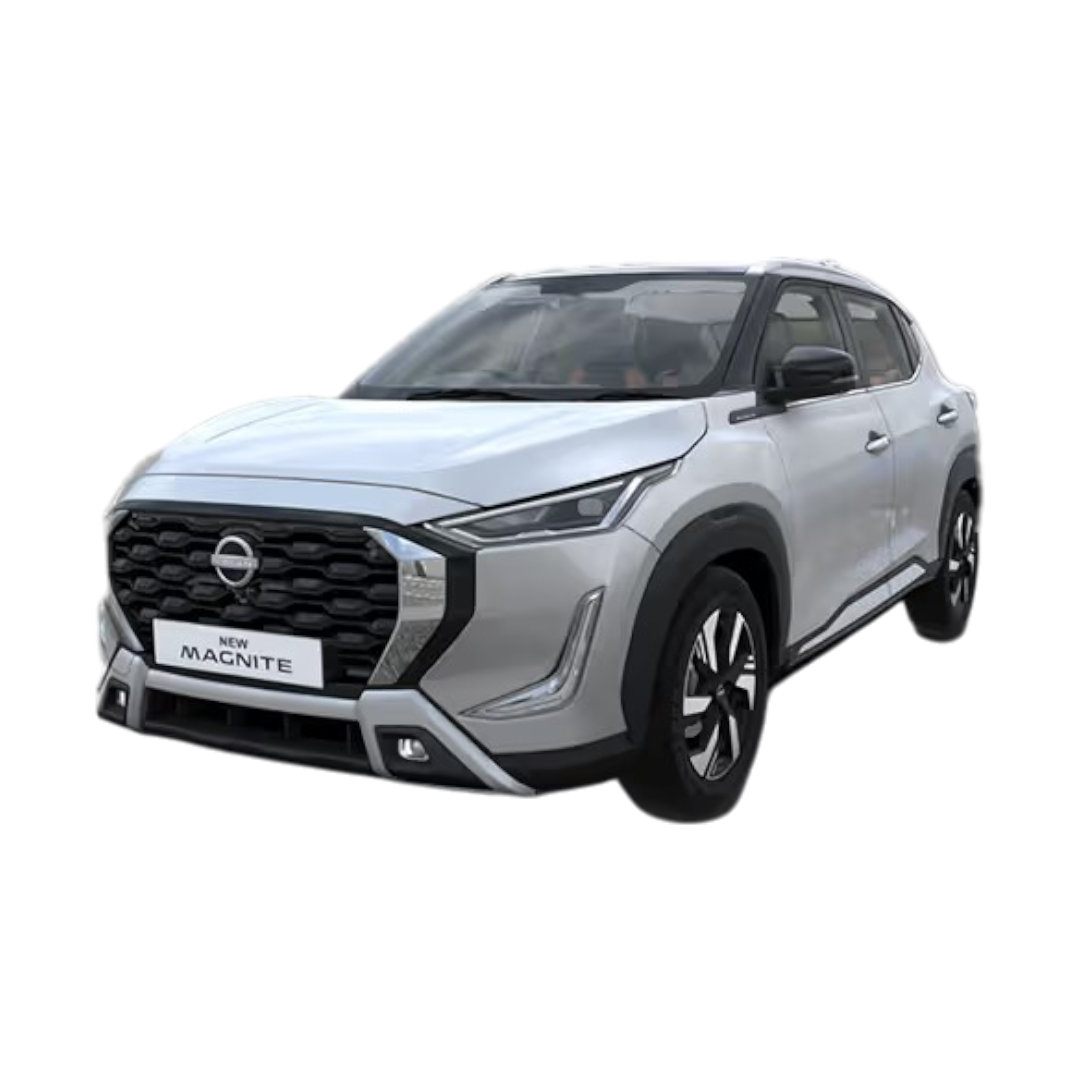
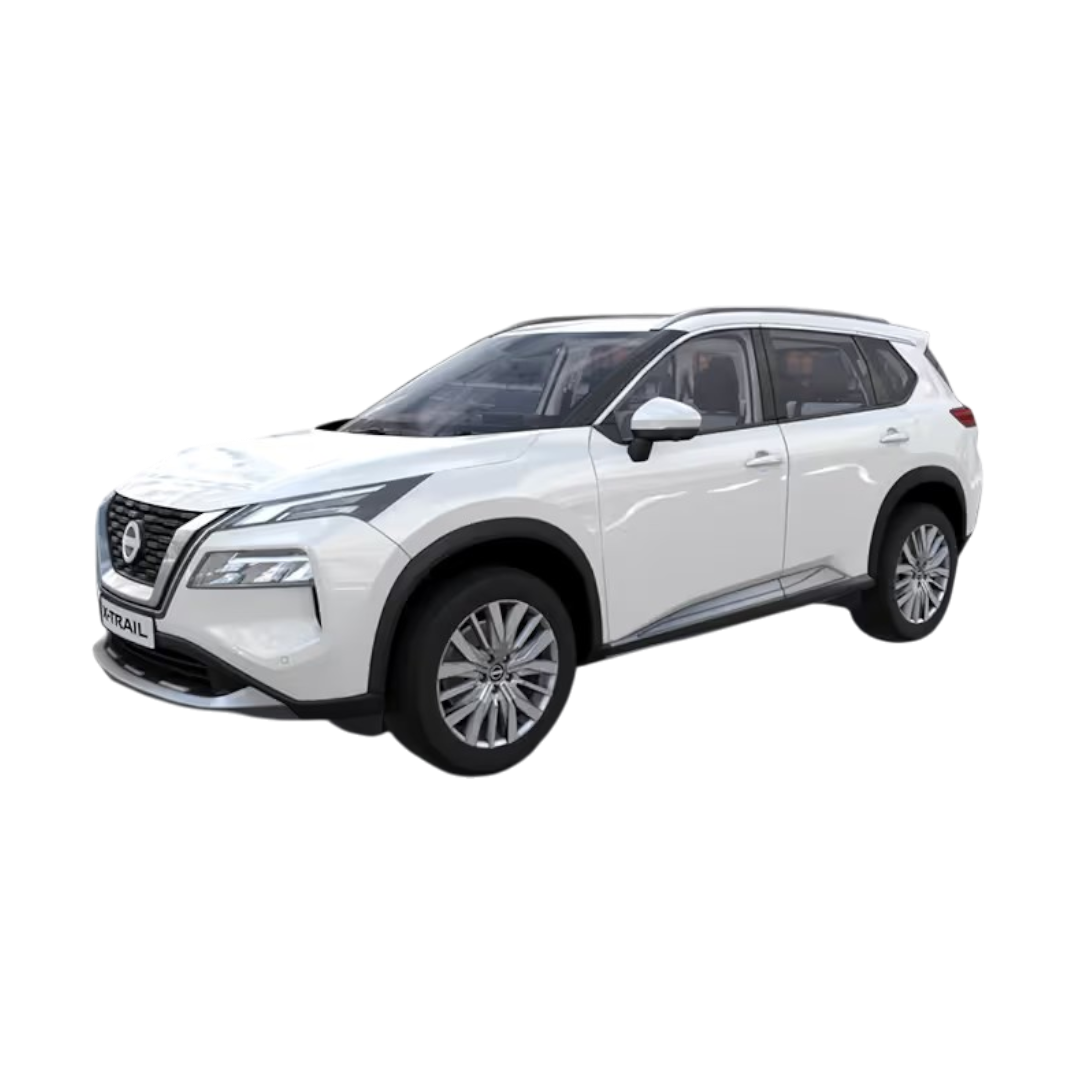
 Nissan
›
Nissan
›
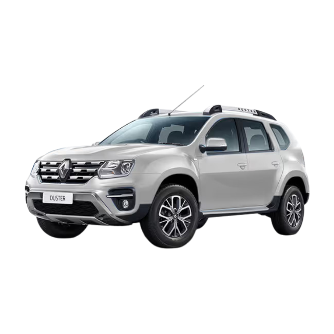
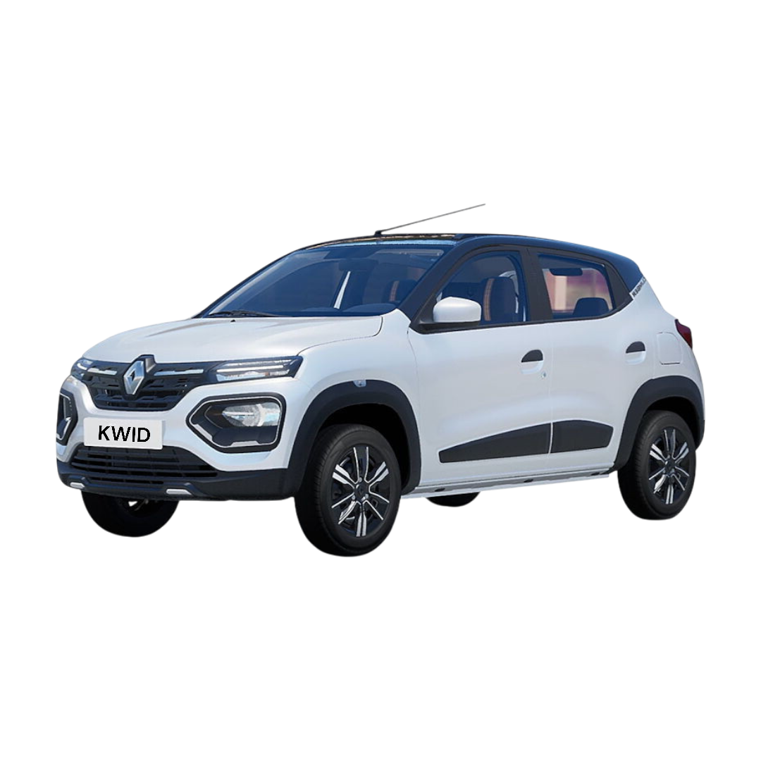
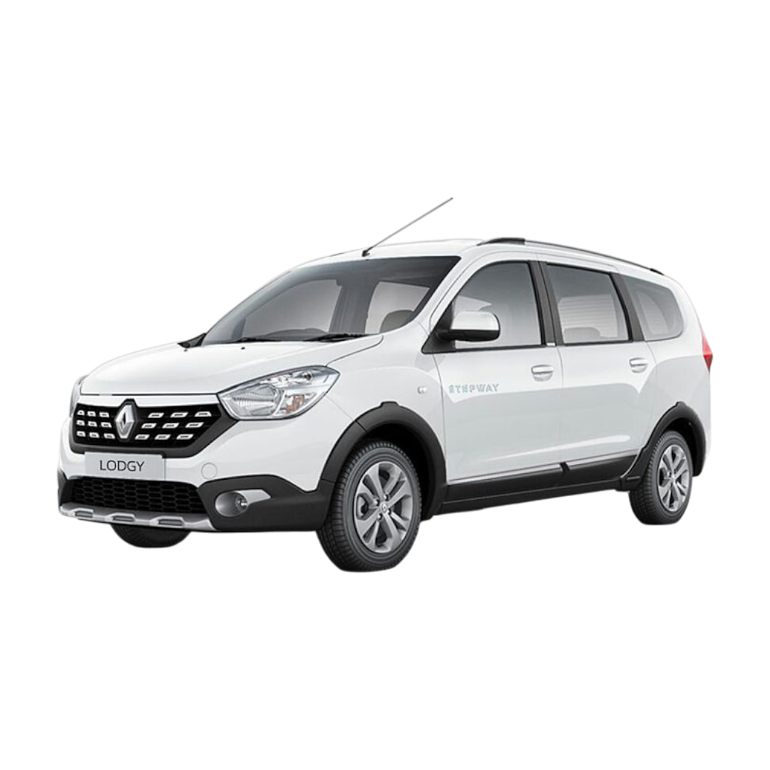
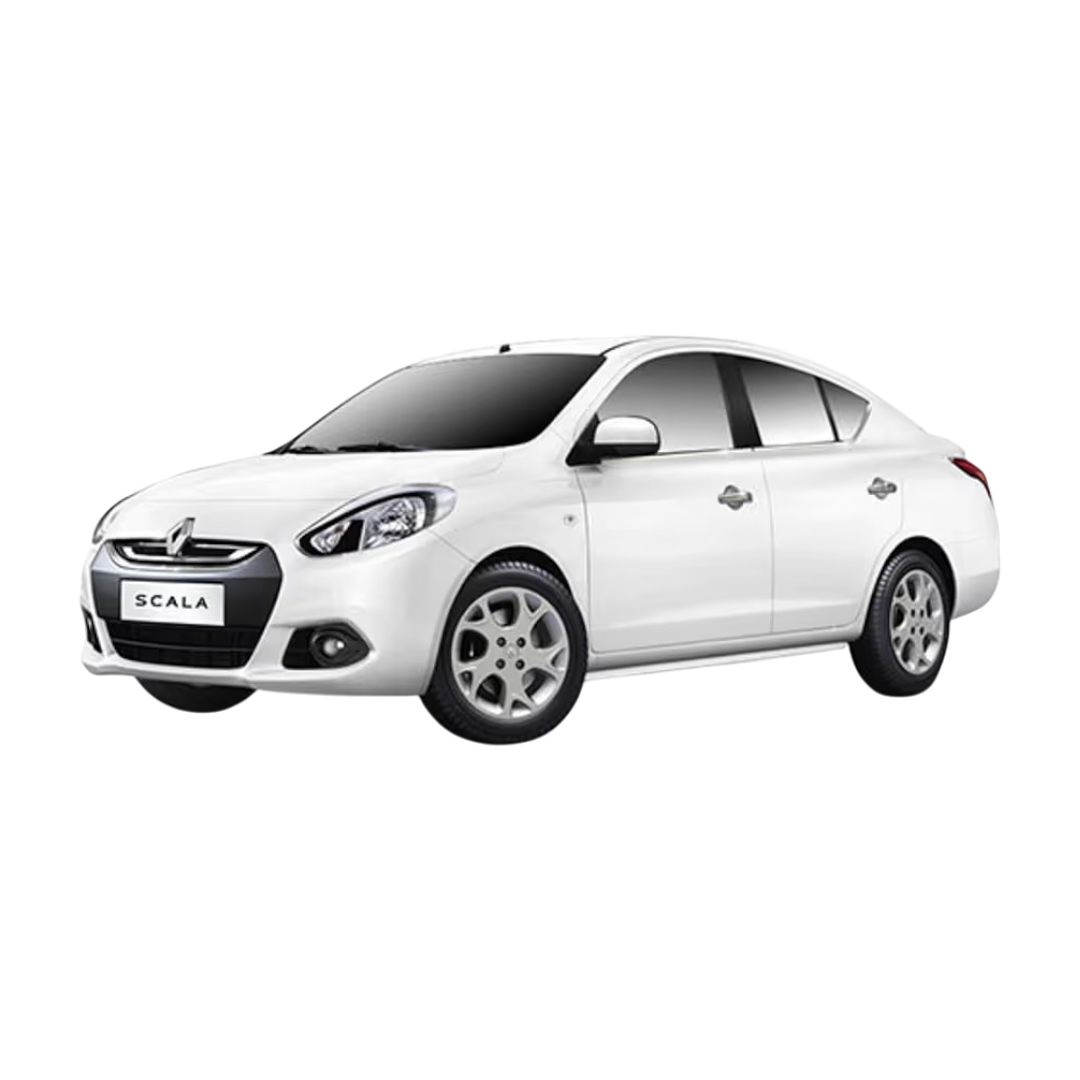
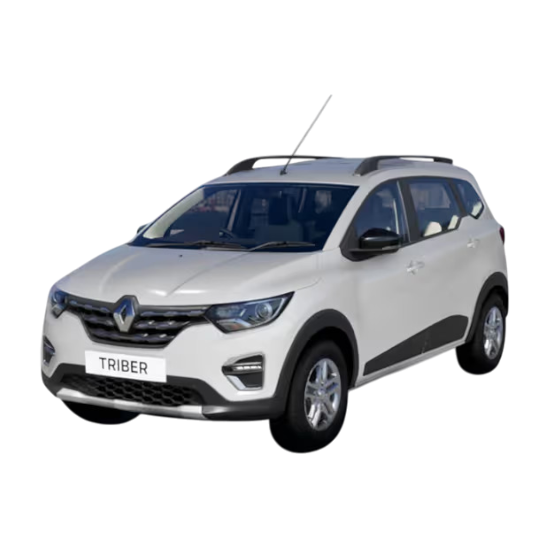
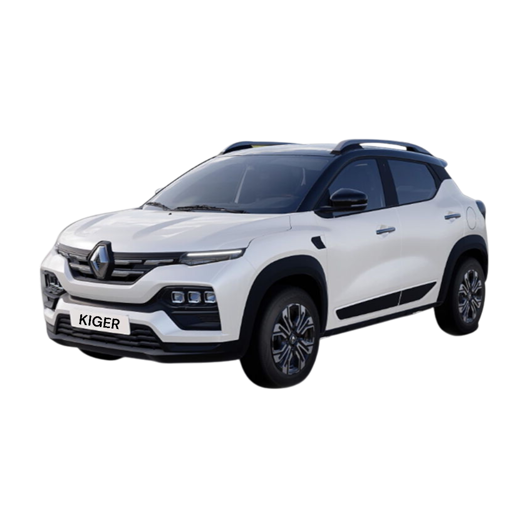
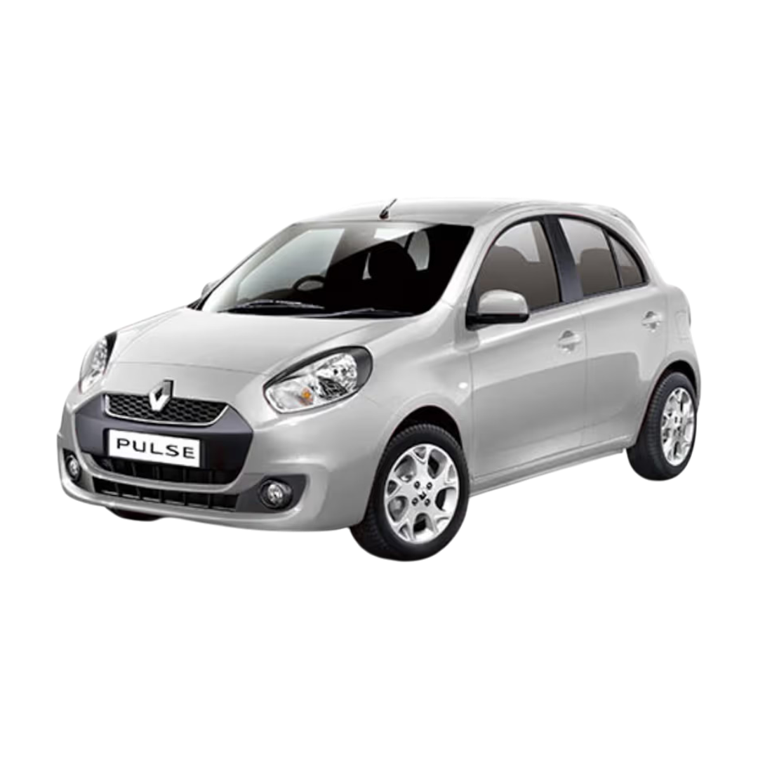
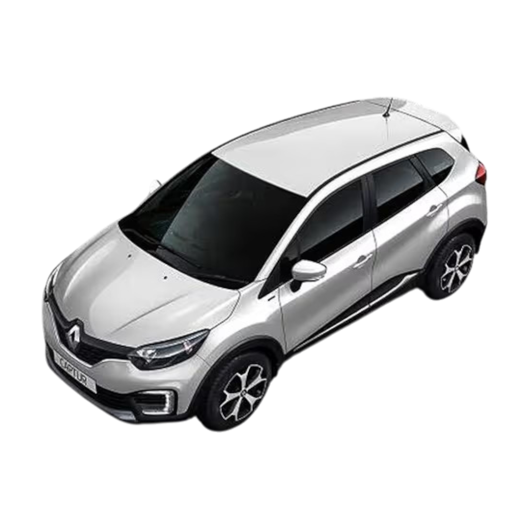
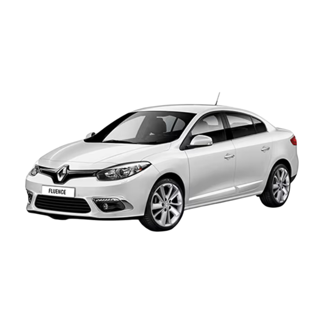
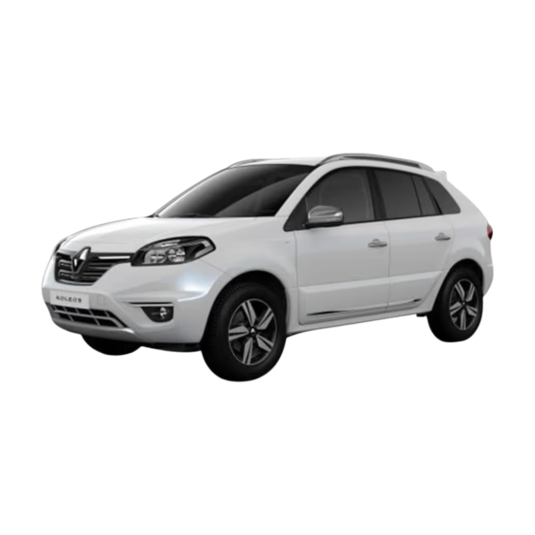
 Renault
›
Renault
›
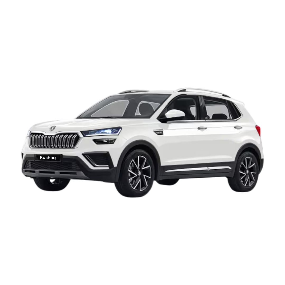
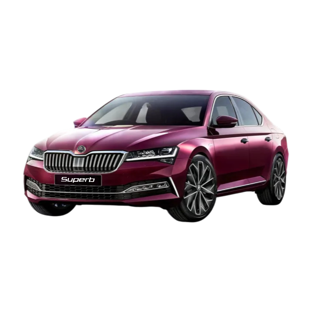
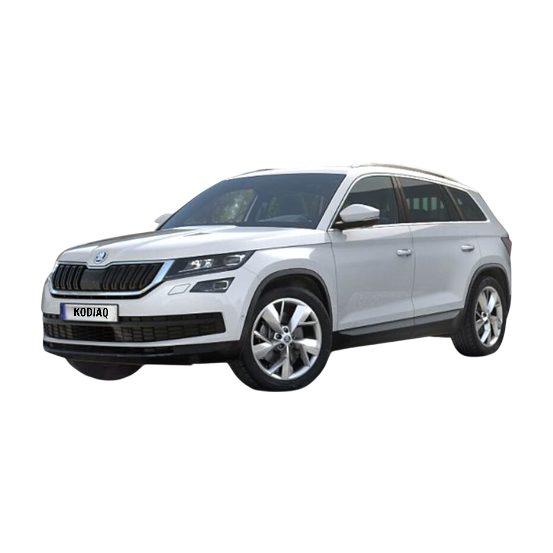
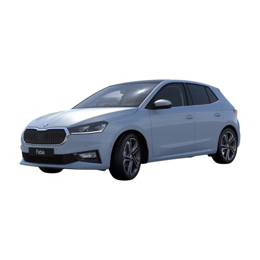
 Skoda
›
Skoda
›
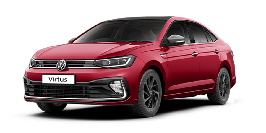
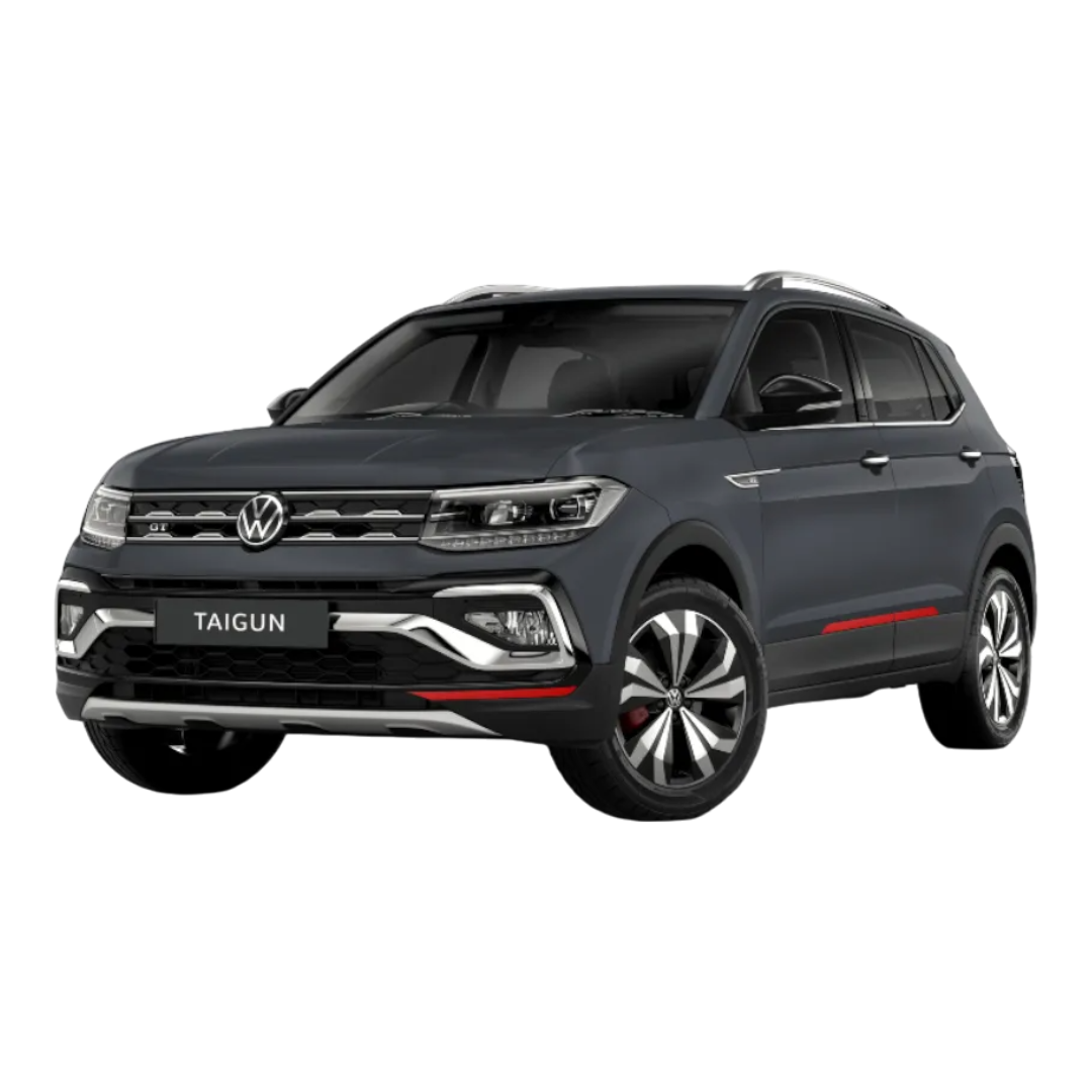
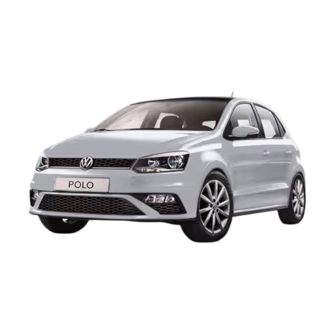
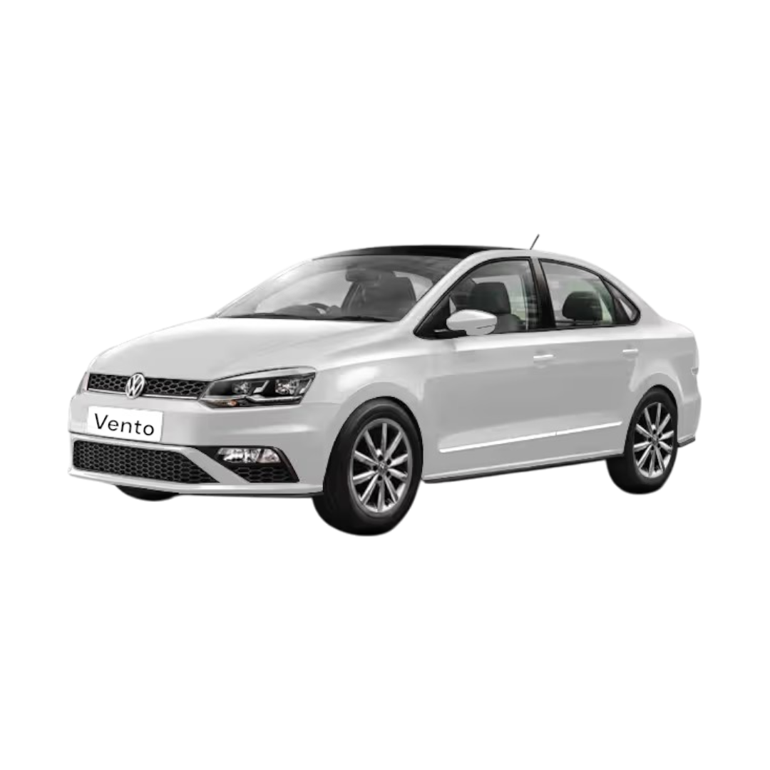
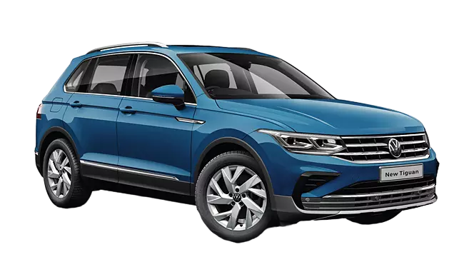
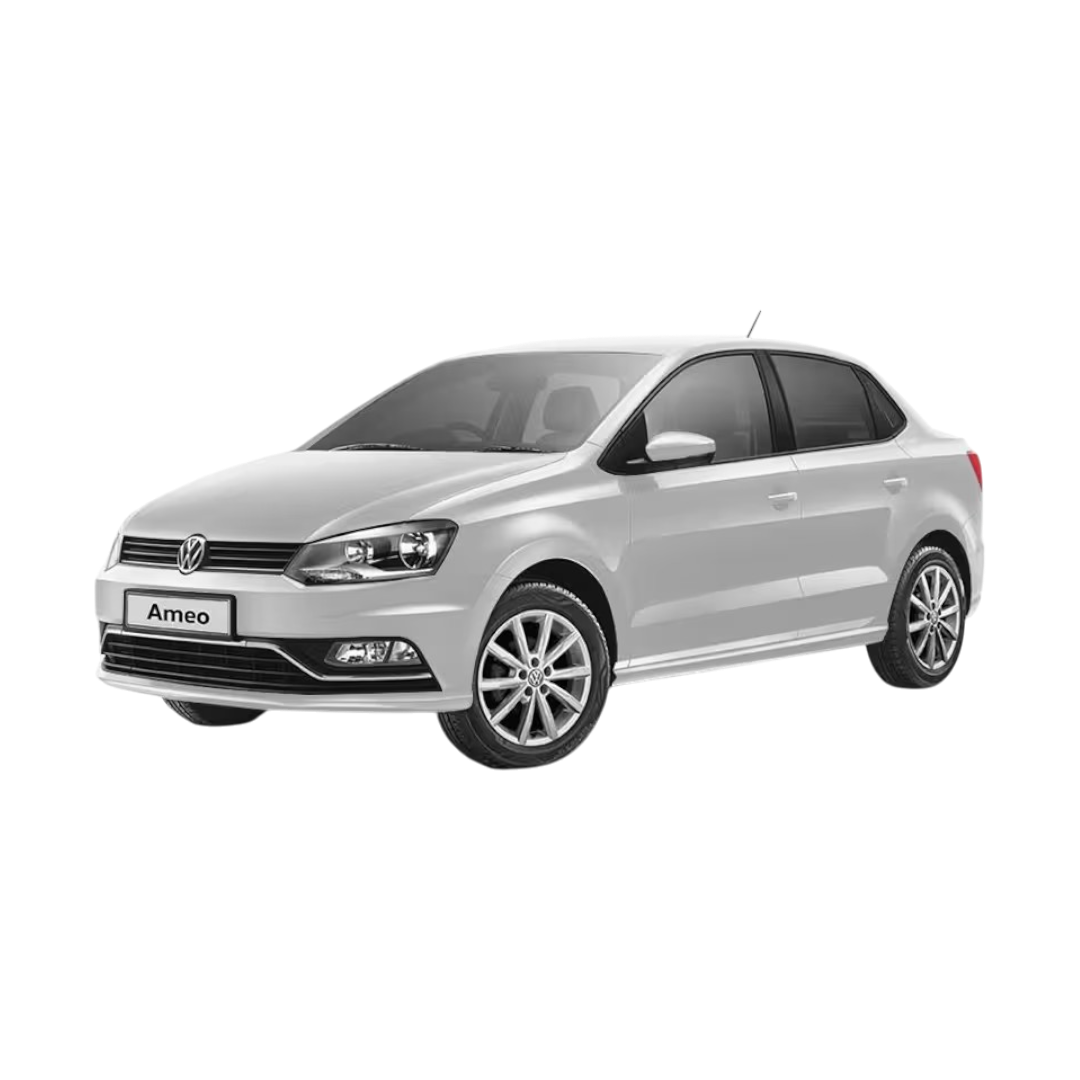
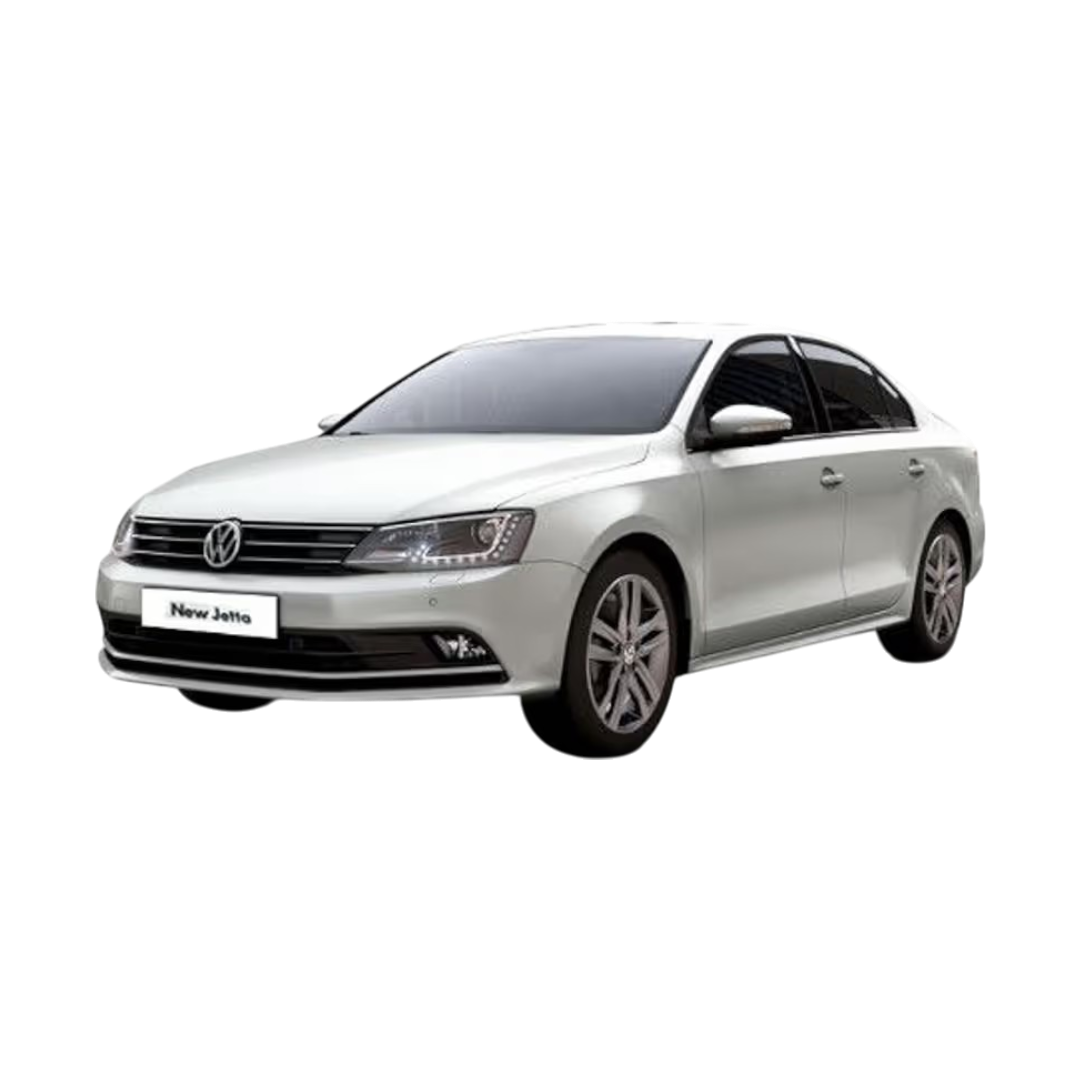
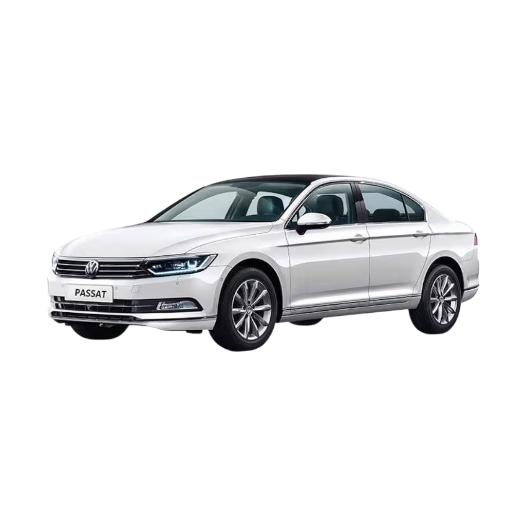
 Volkswagen
›
Volkswagen
›
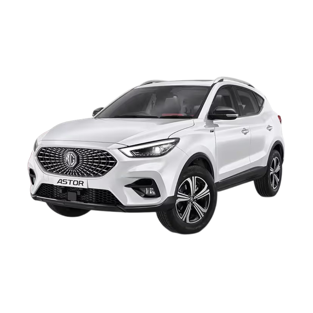
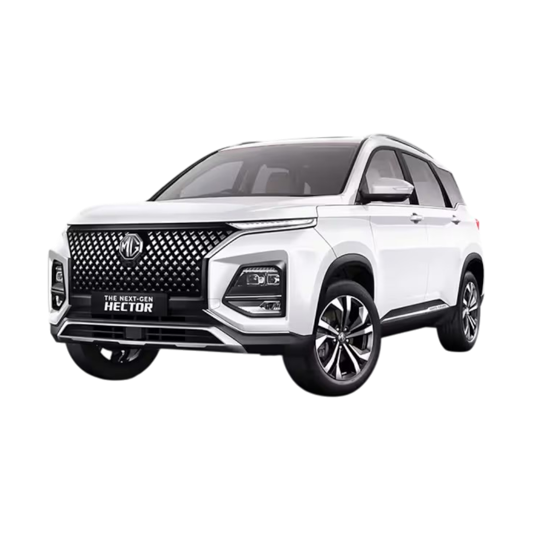
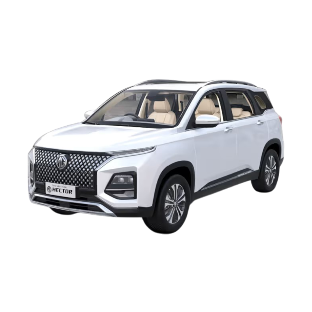
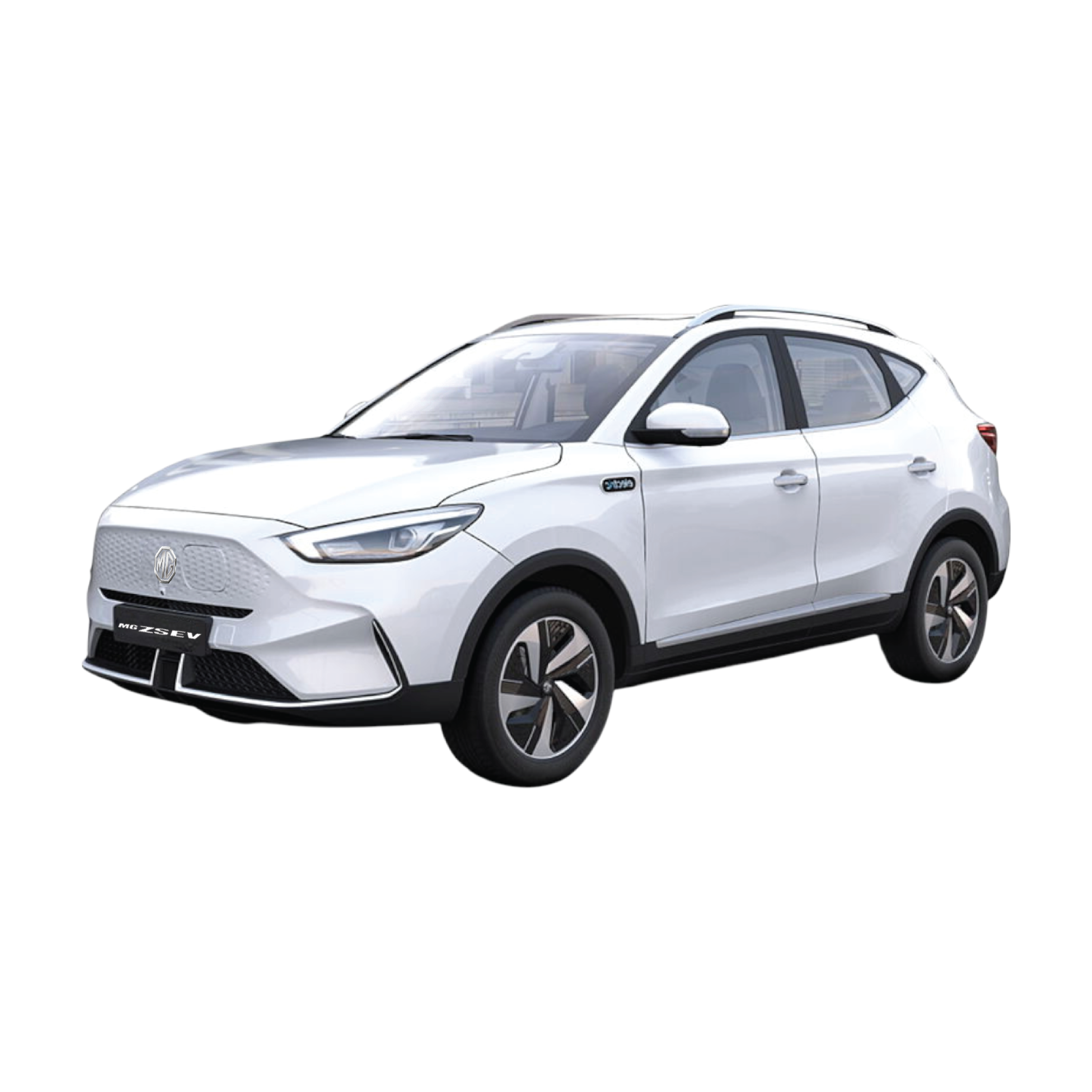
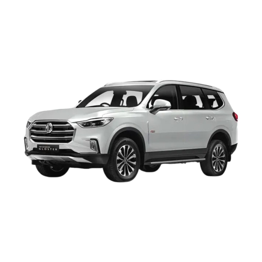
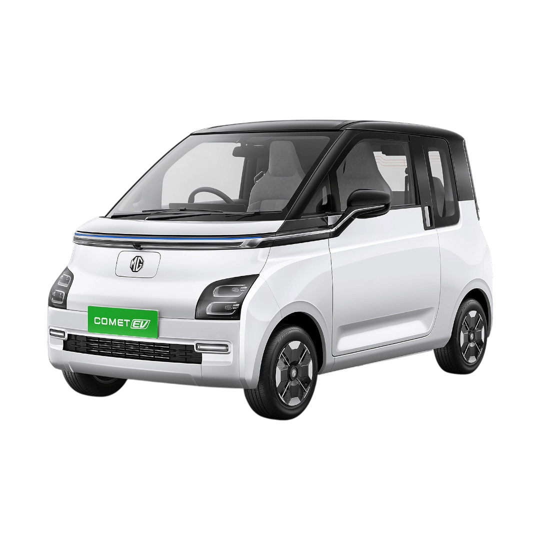
 Morris Garages - MG
›
Morris Garages - MG
›
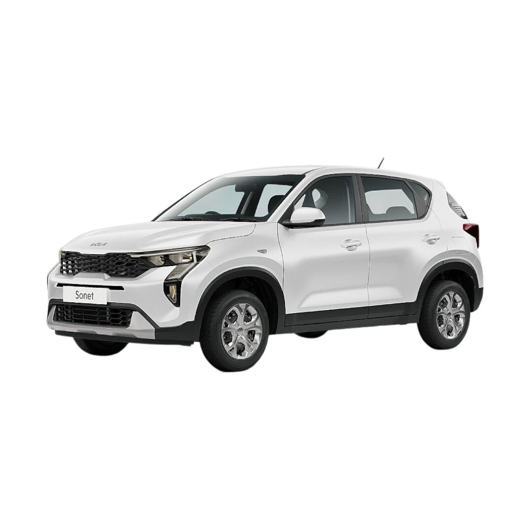
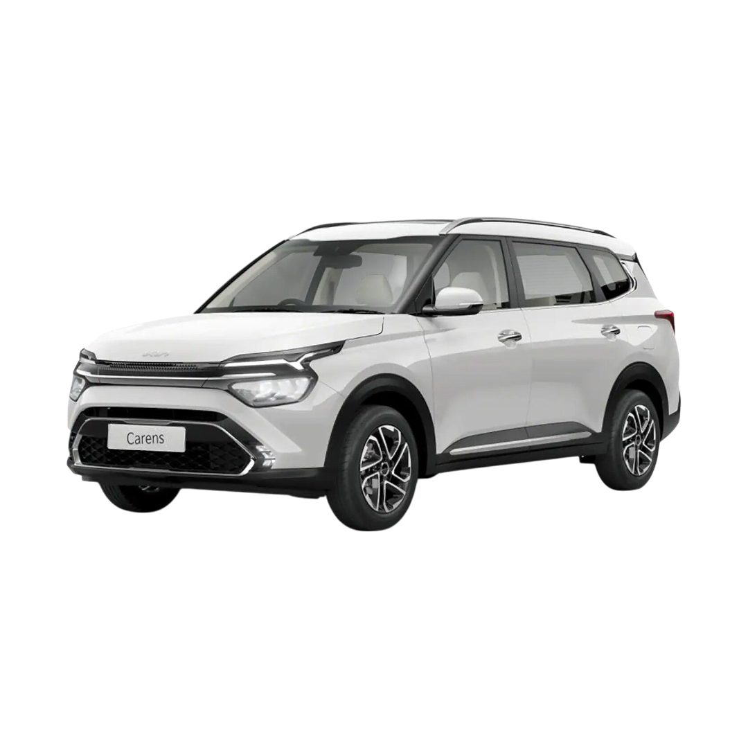
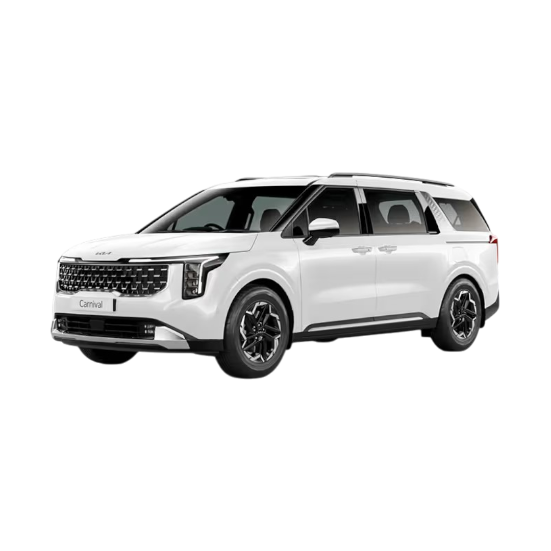
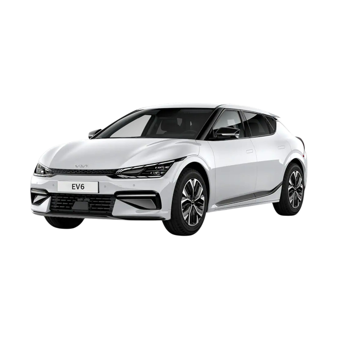
 KIA
›
KIA
›
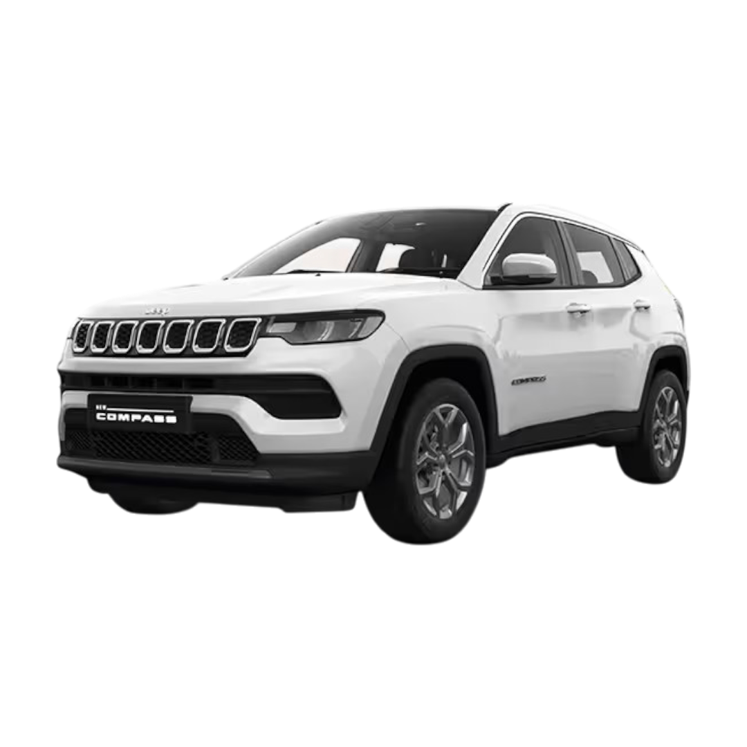
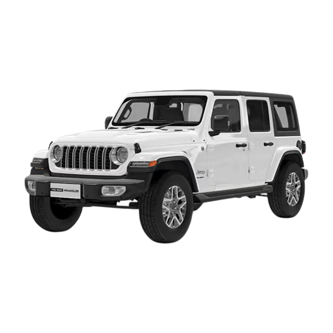
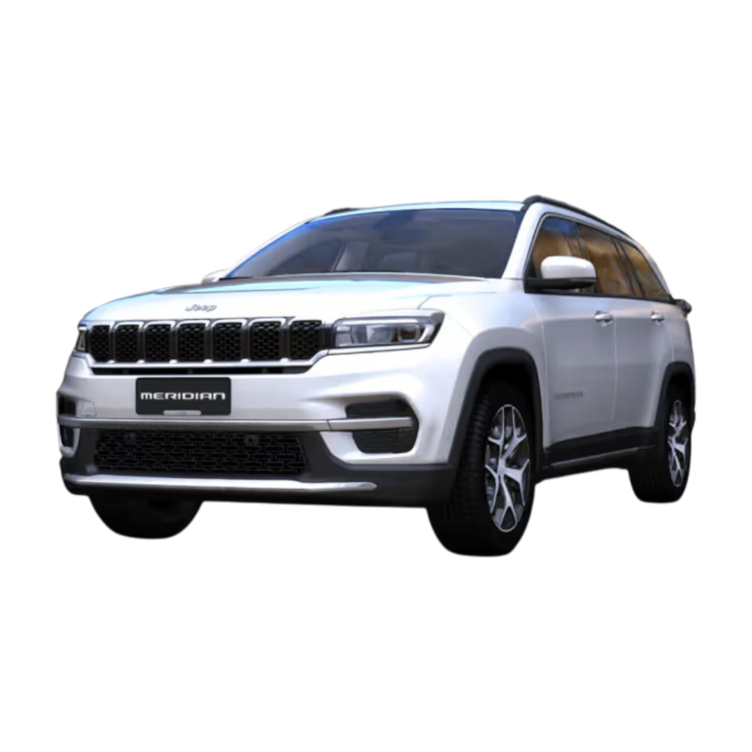
 Jeep
›
Jeep
›
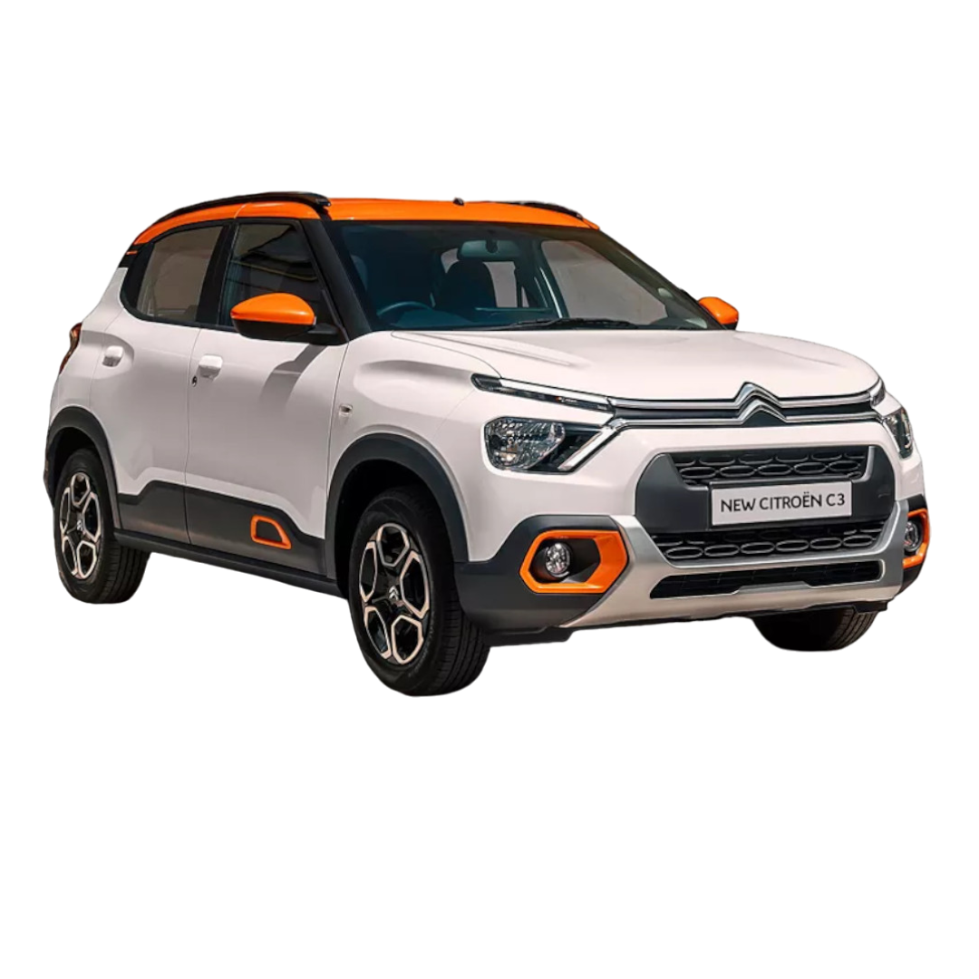
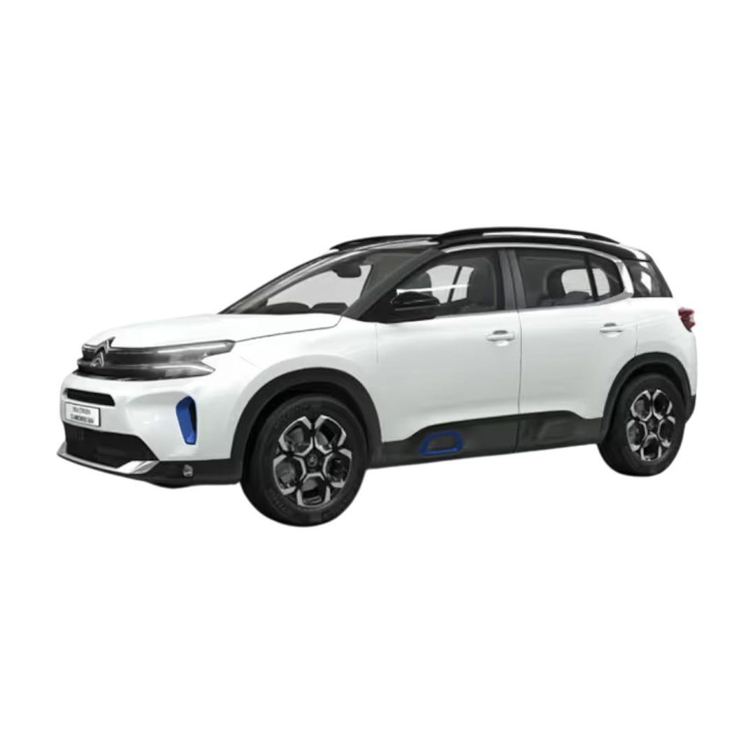
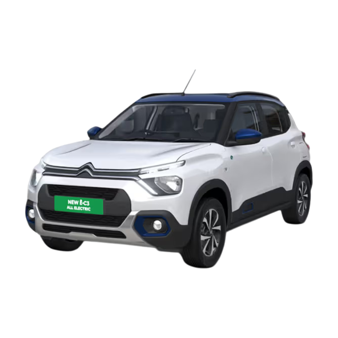
 Citroen
›
Citroen
›
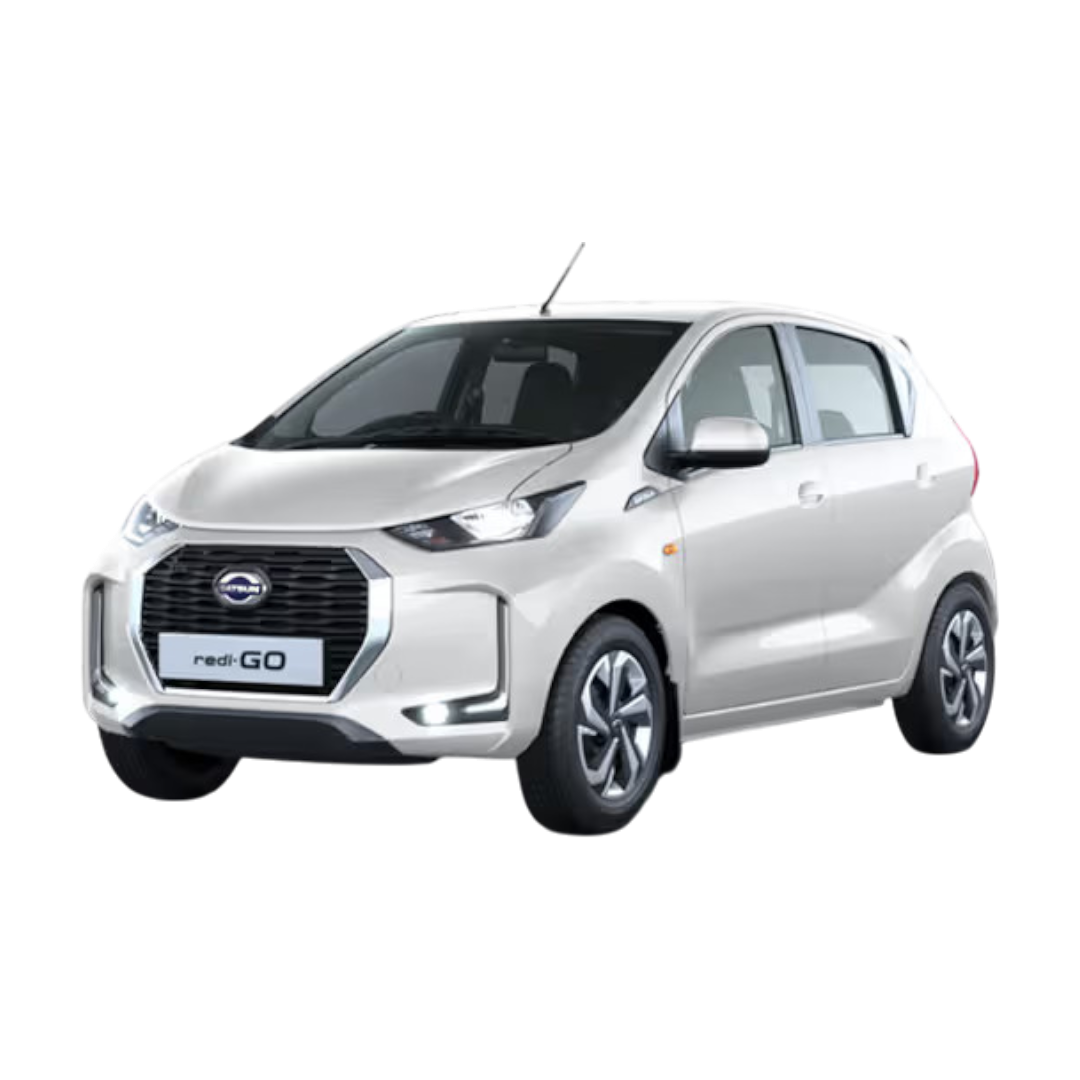
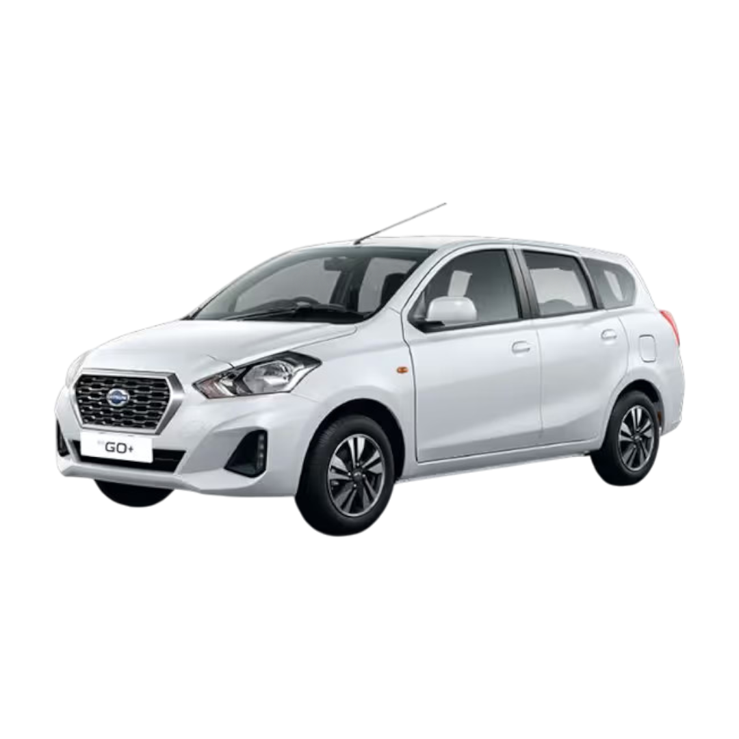
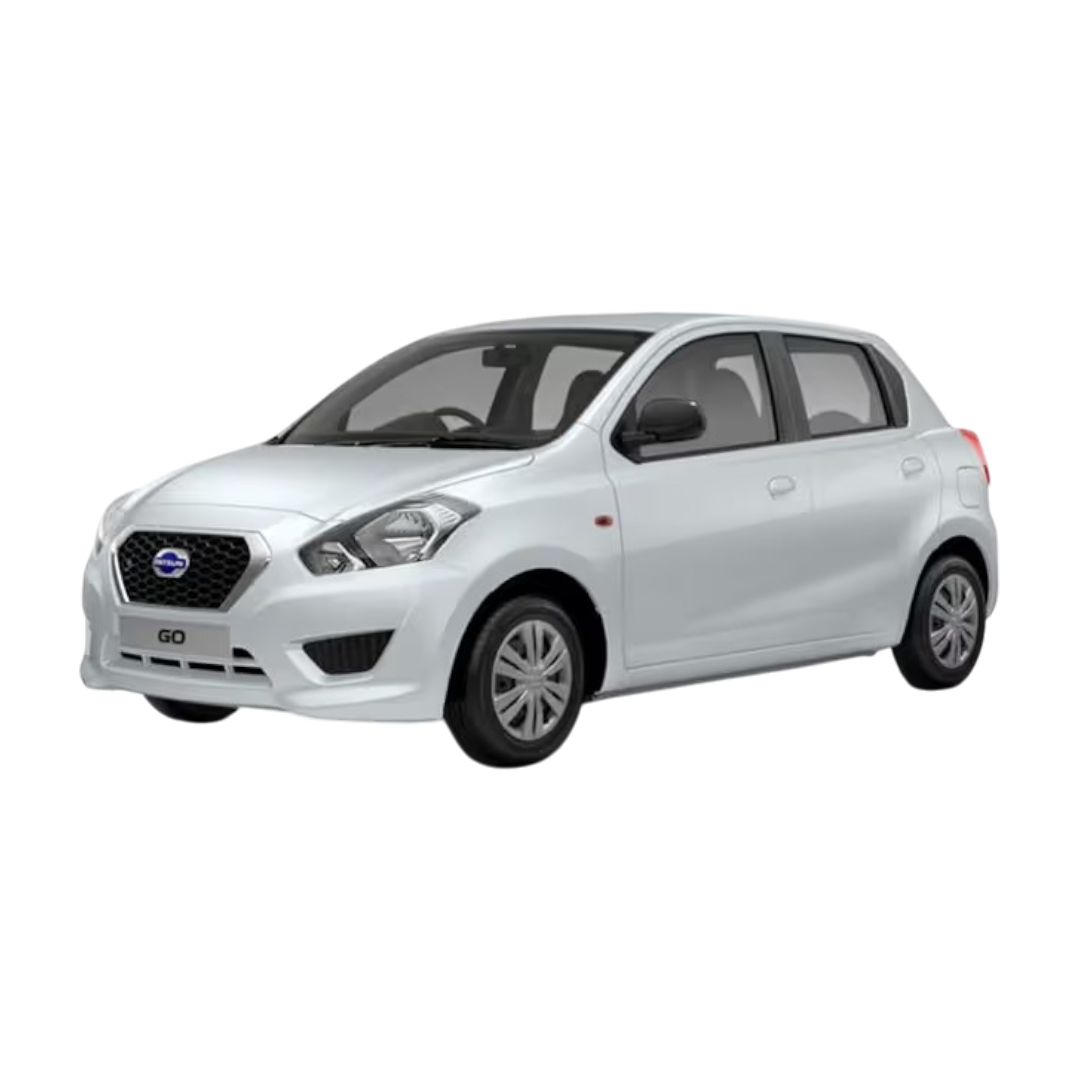
 Datsun
›
Datsun
›
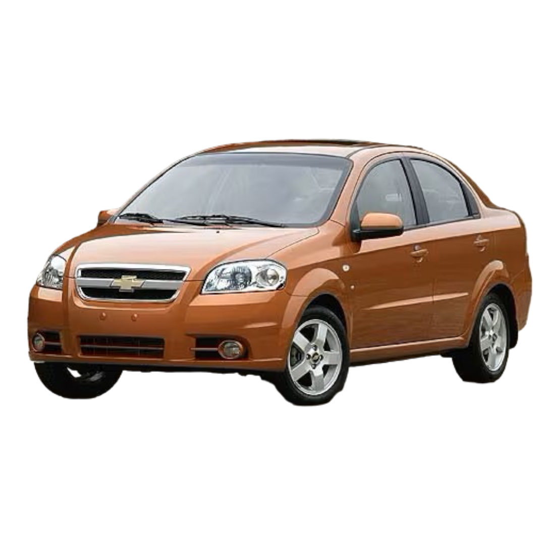
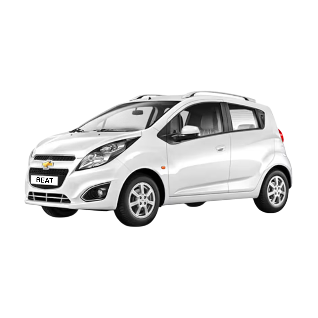
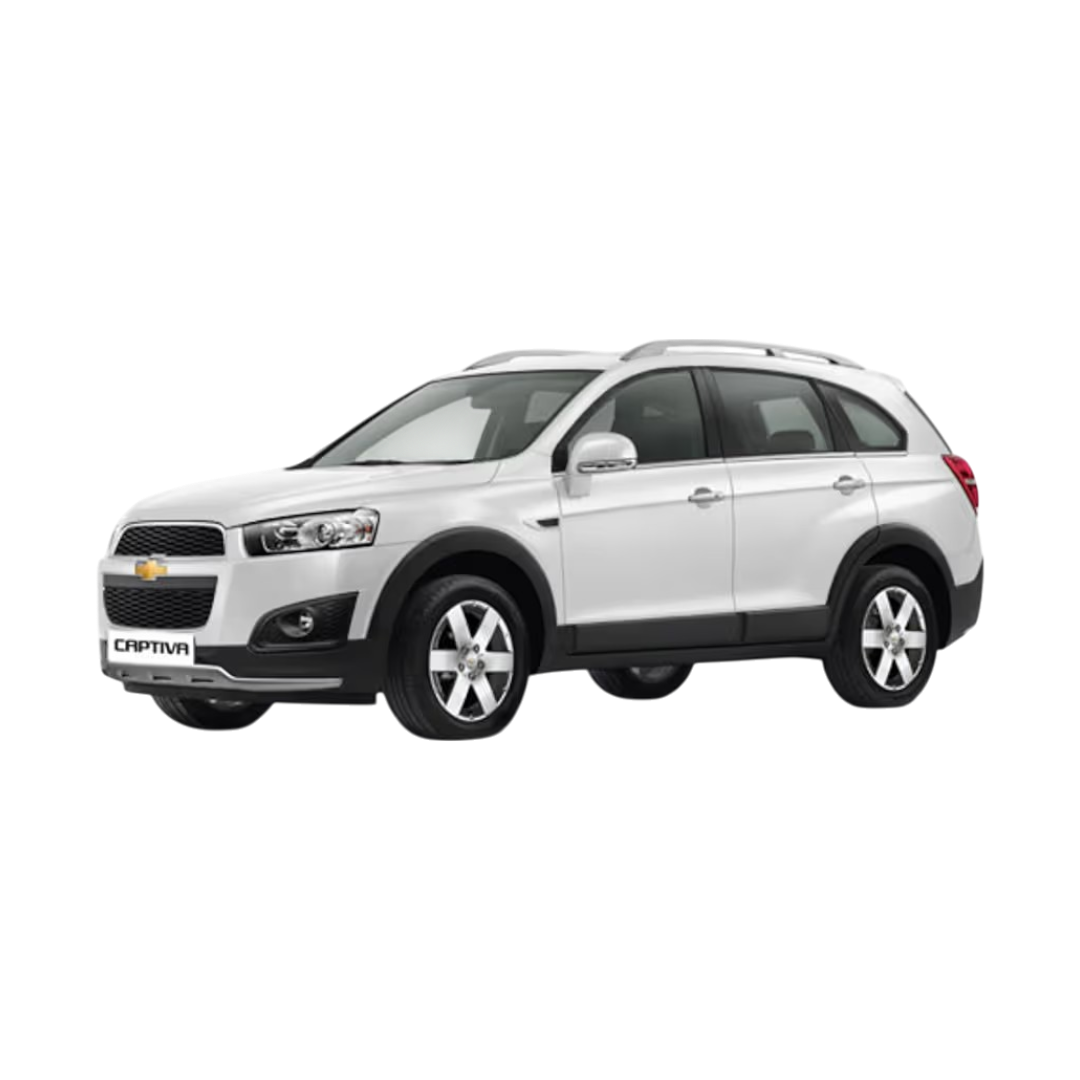
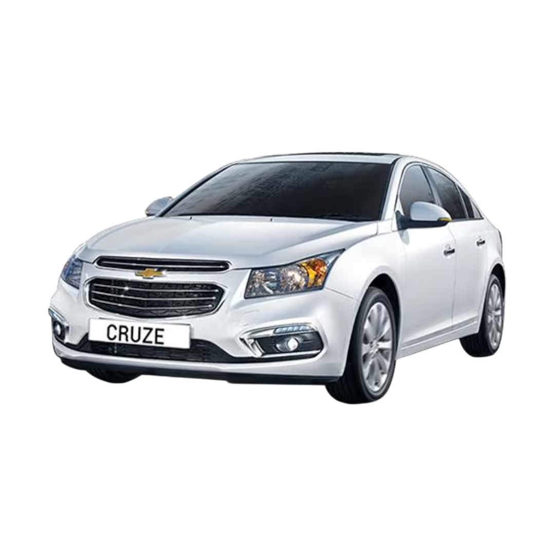
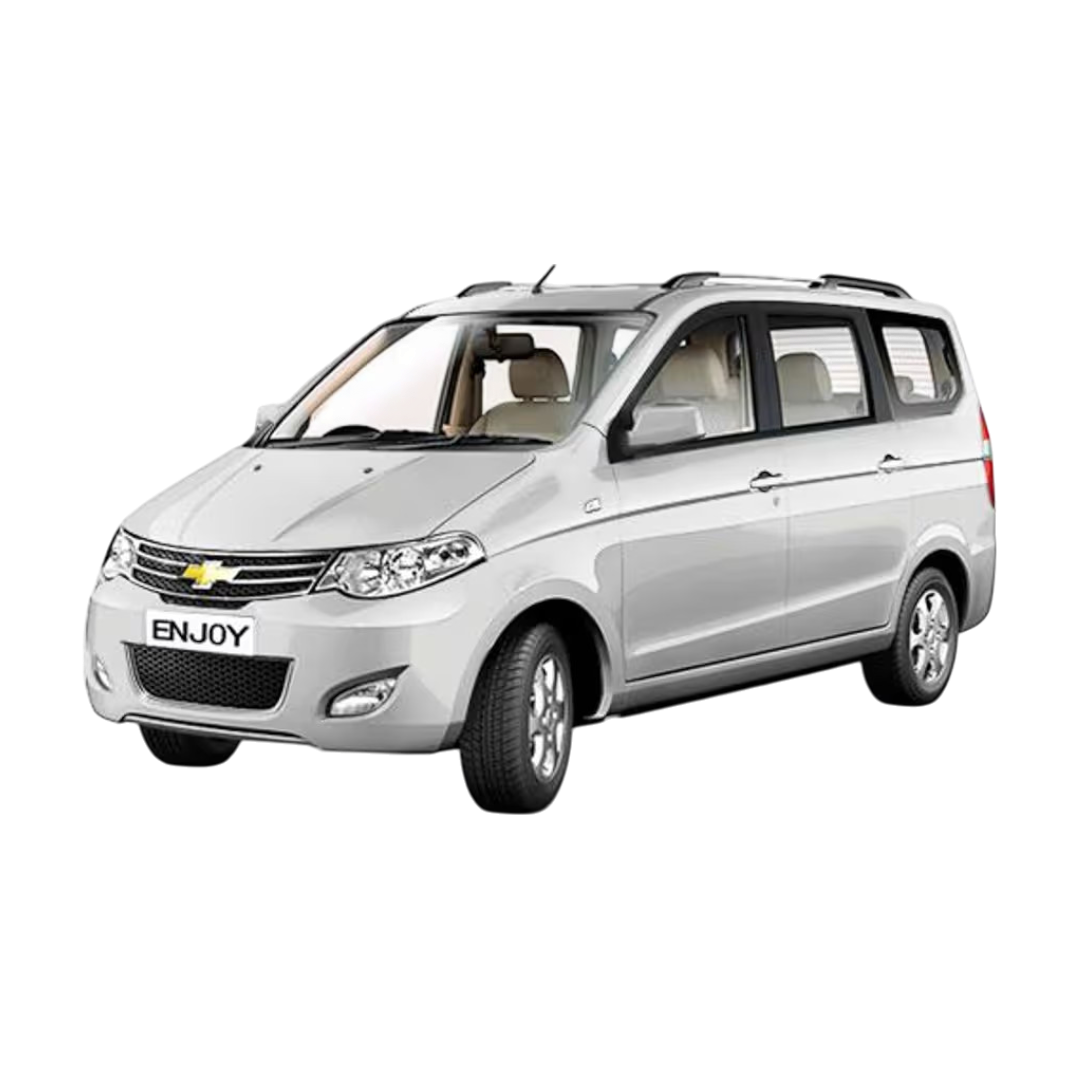
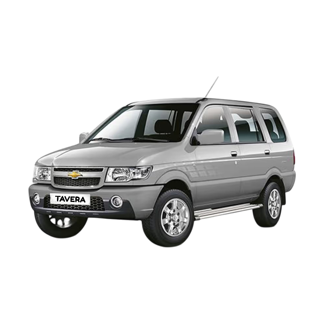
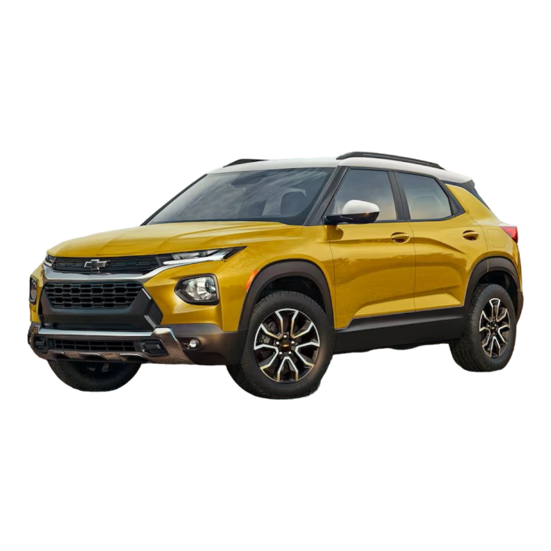
 Chevrolet
›
Chevrolet
›
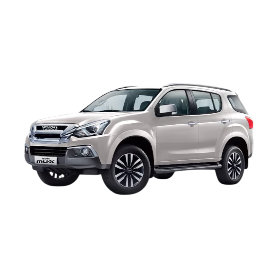
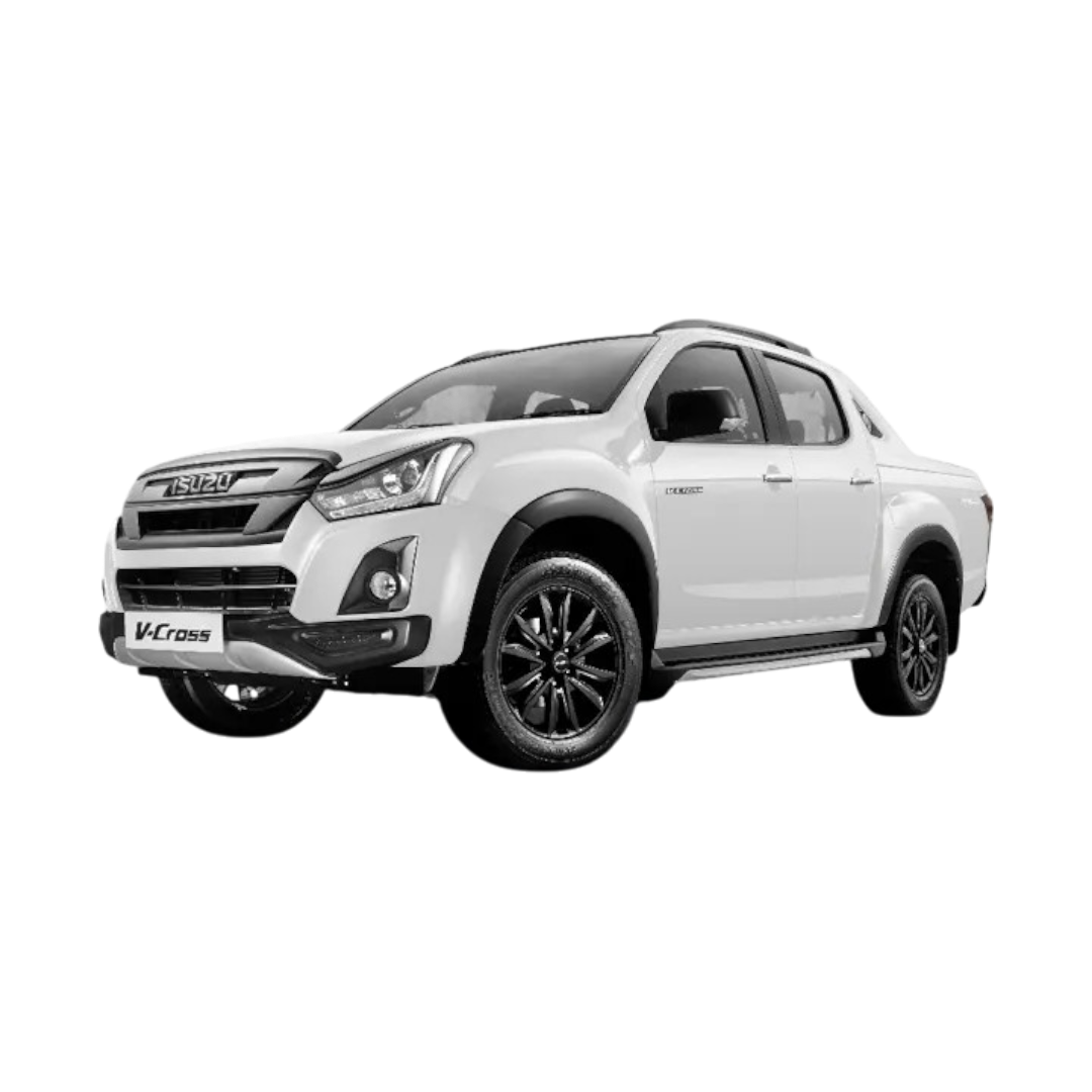
 Isuzu
›
Isuzu
›
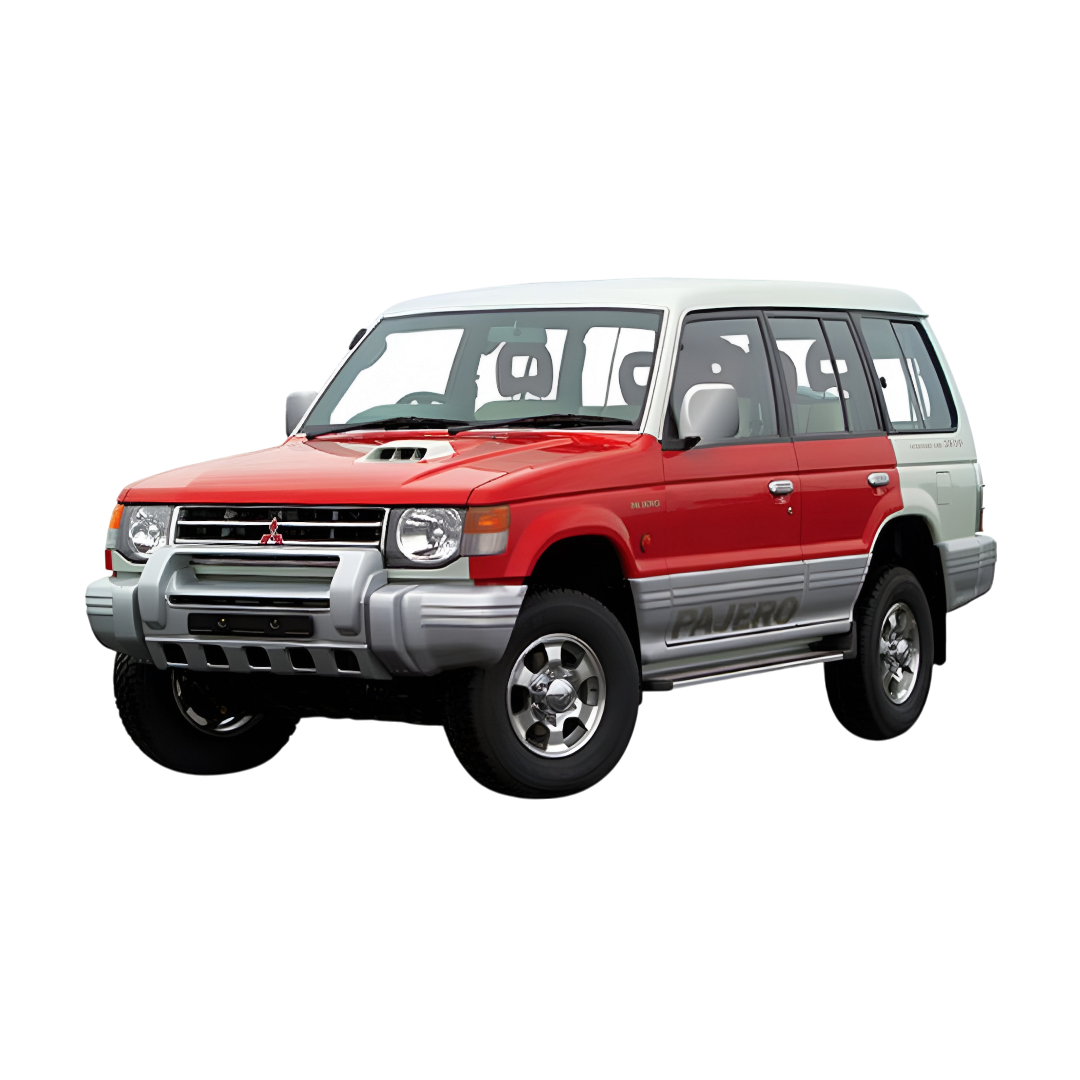
 Mitsubishi
›
Mitsubishi
›
 AUDI
›
AUDI
›
 BMW
›
BMW
›
 Mercedes
›
Mercedes
›
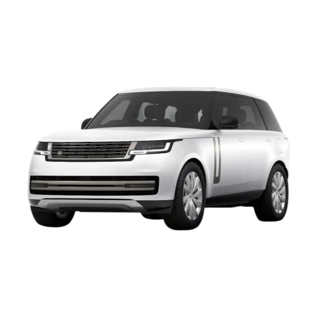
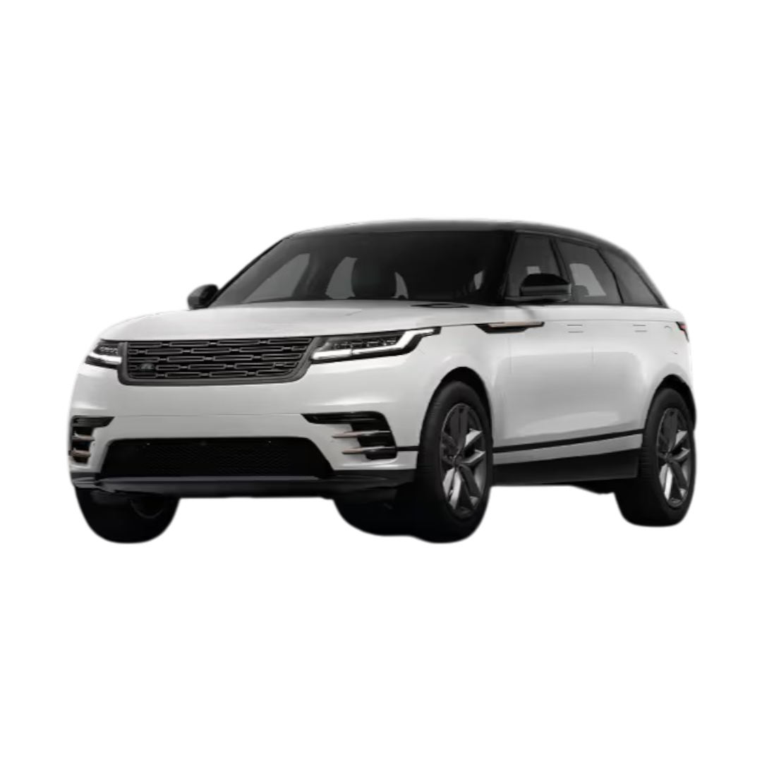
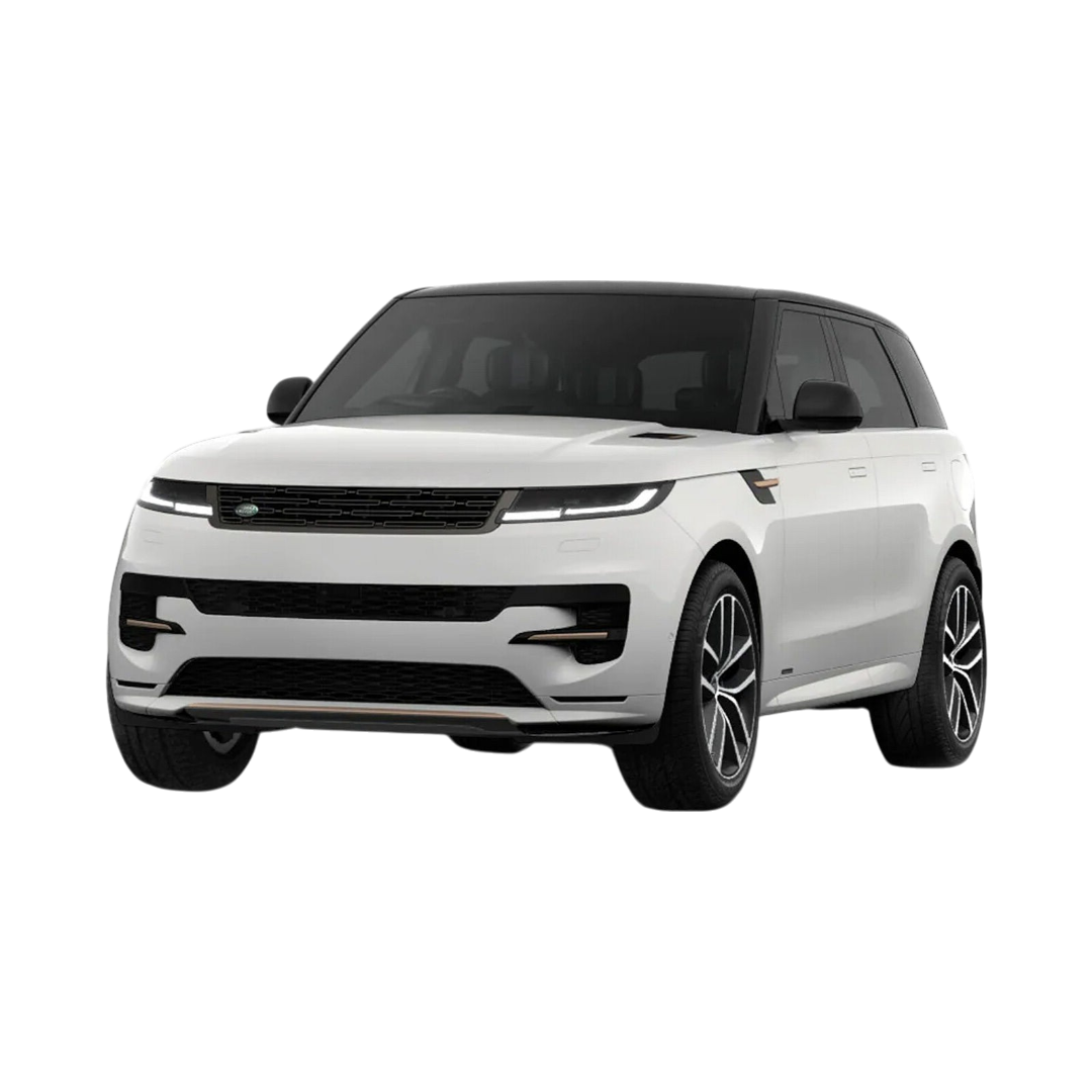
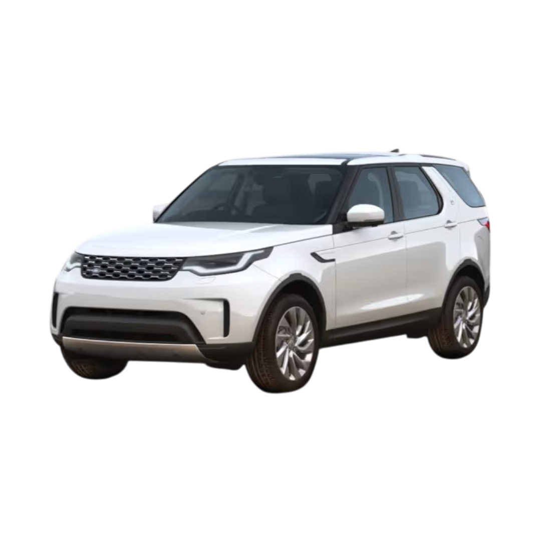
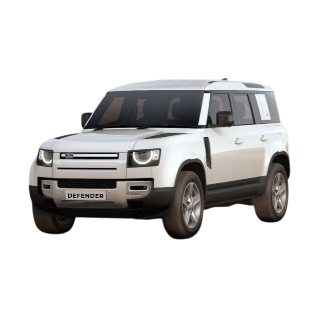
 Land Rover
›
Land Rover
›
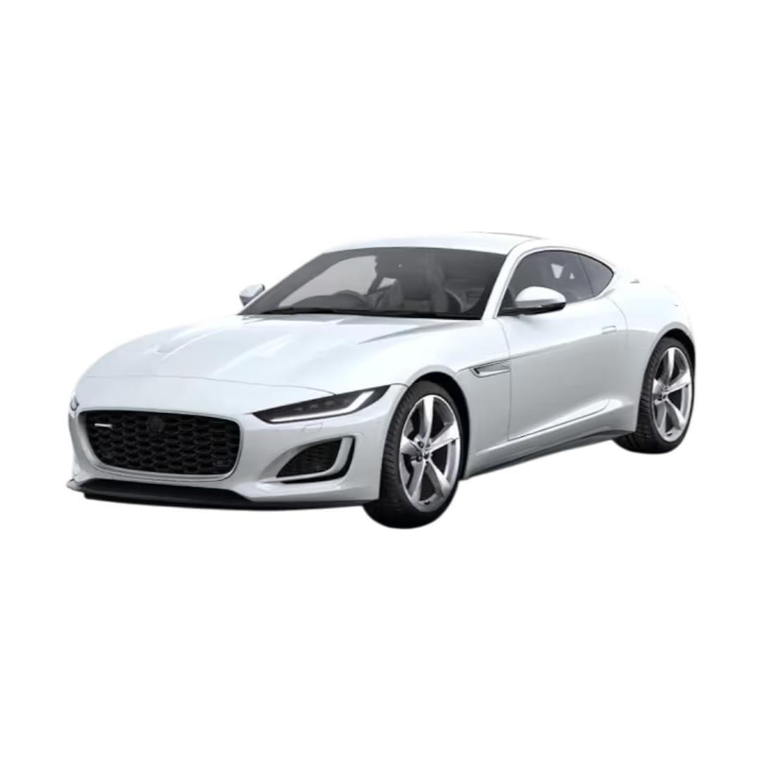
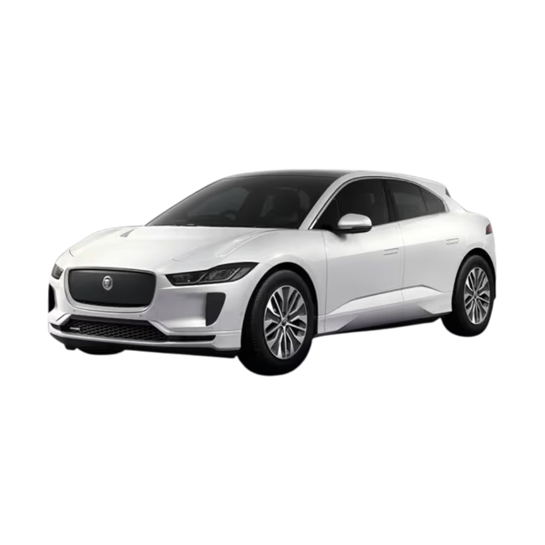
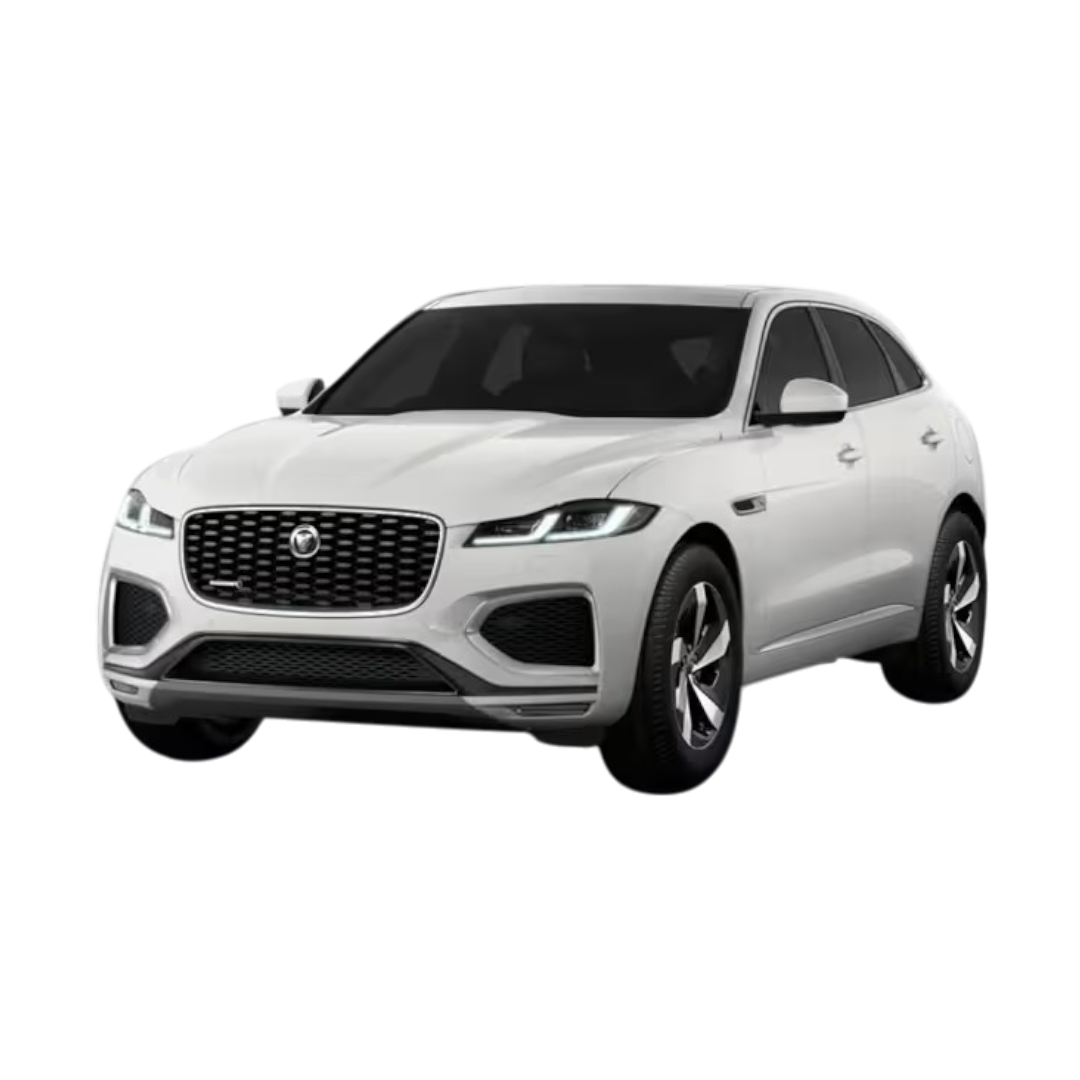
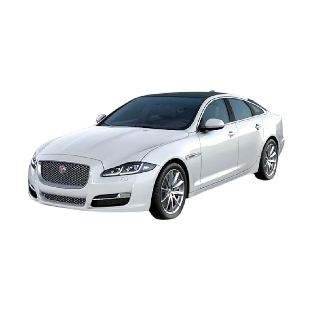
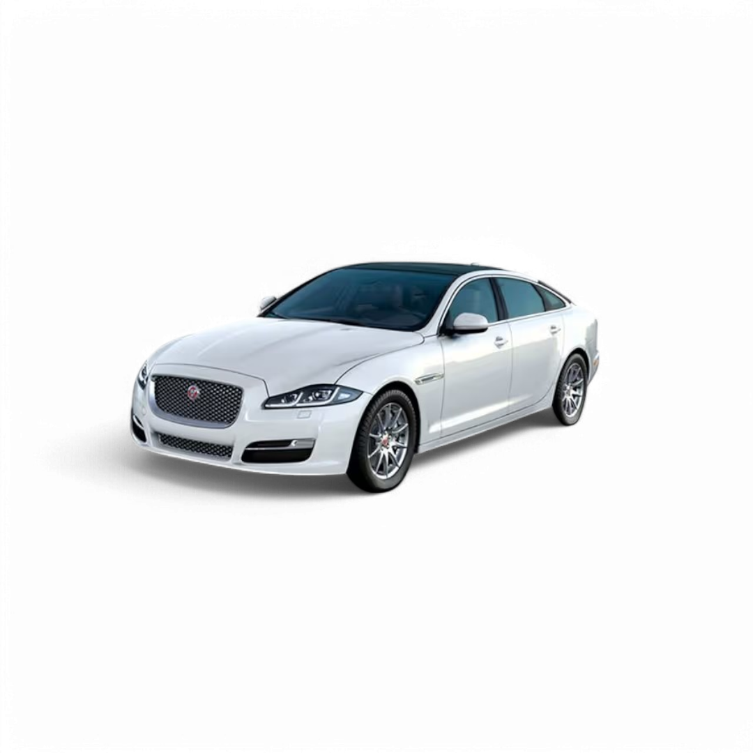
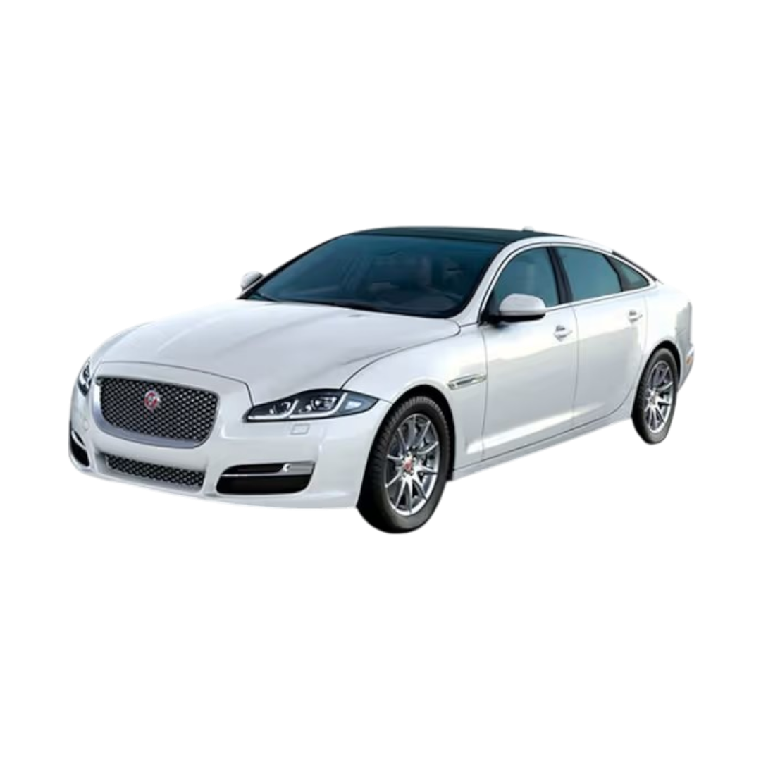
 Jaguar
›
Jaguar
›
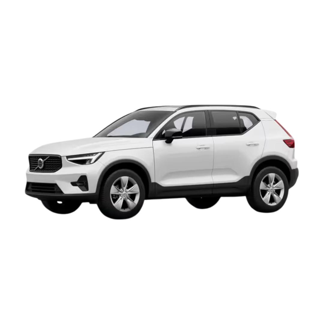
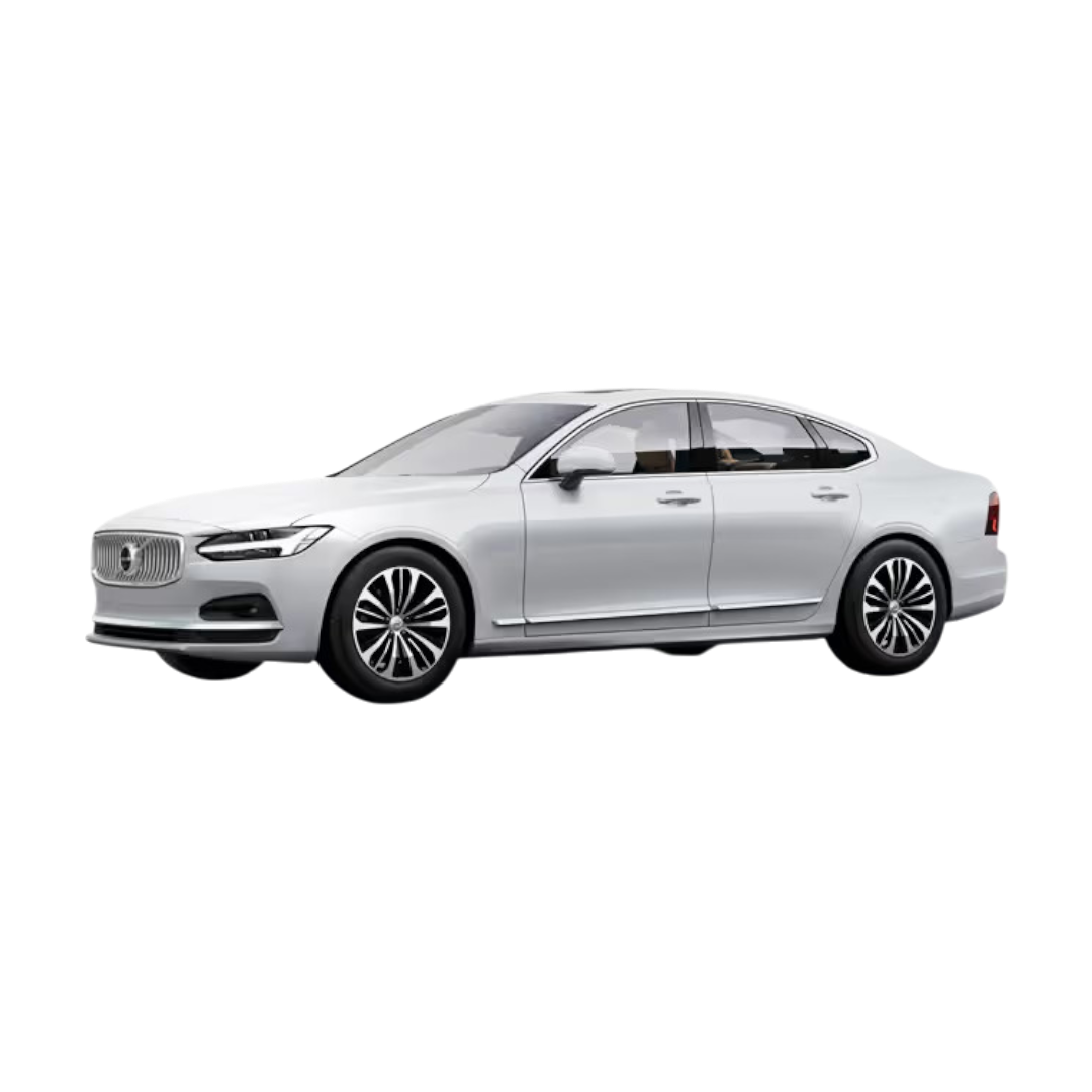
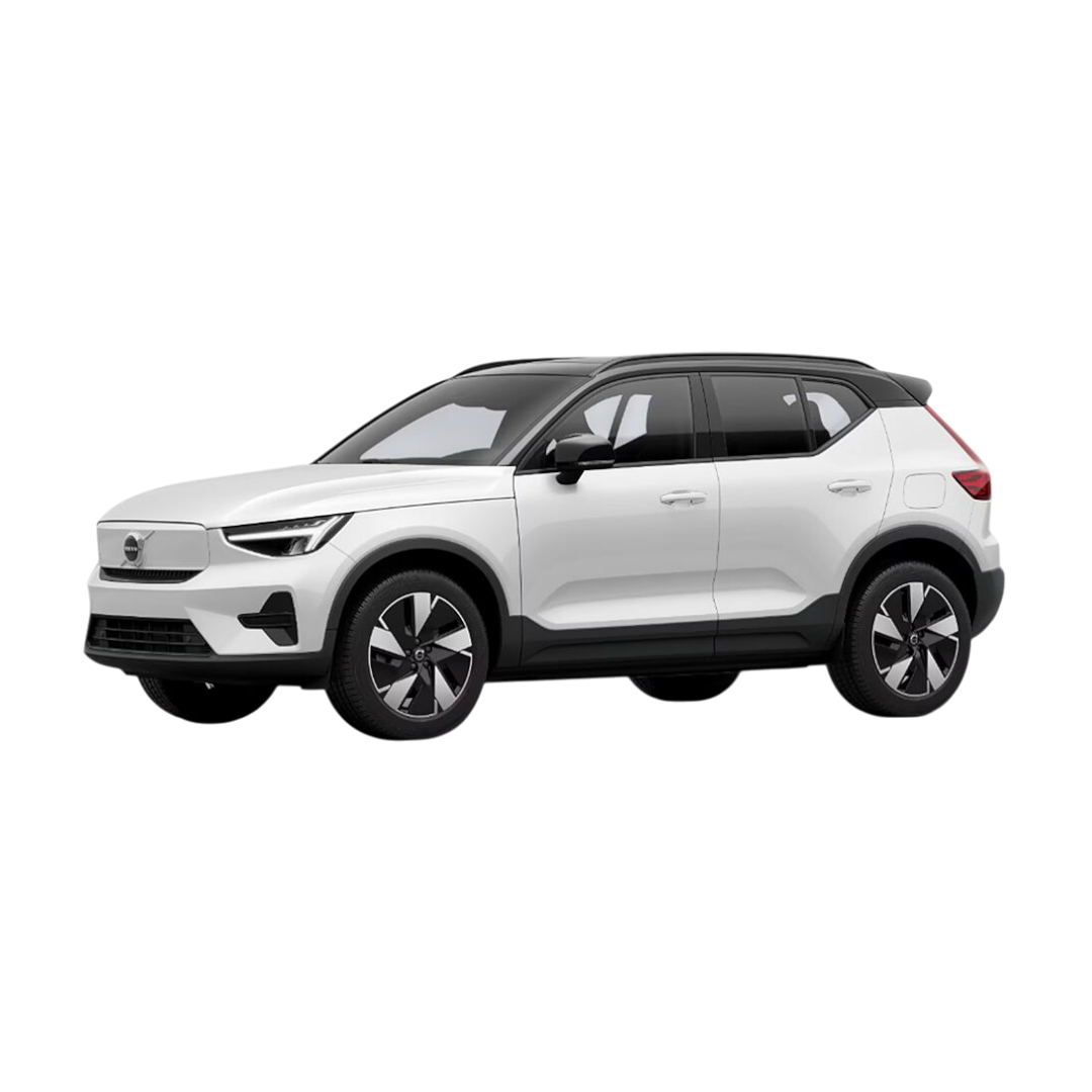
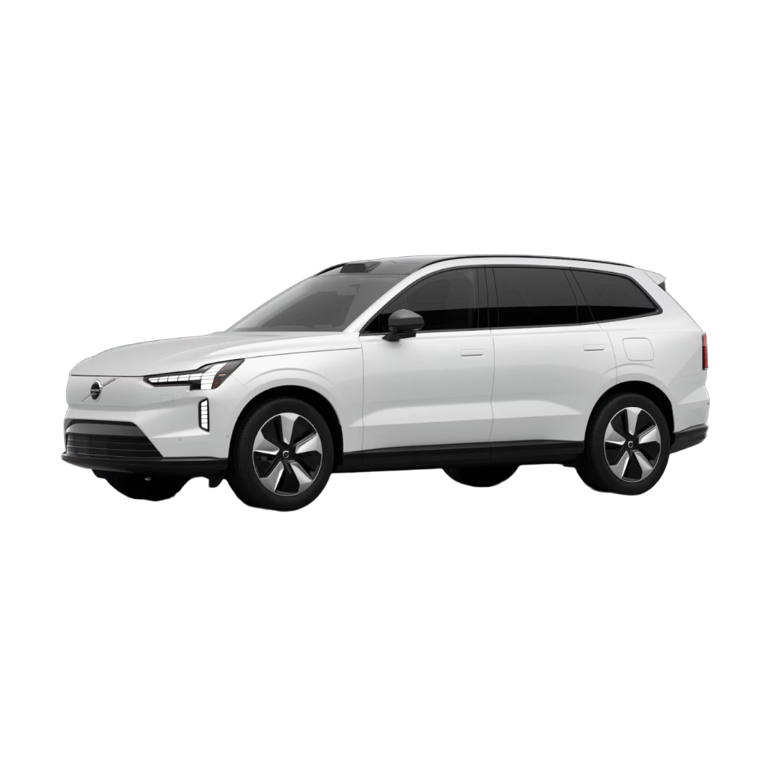
 Volvo
›
Volvo
›
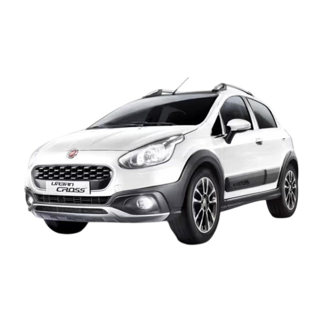
 FIAT
›
FIAT
›
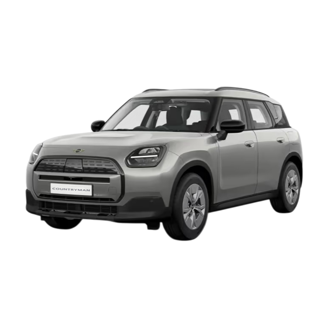
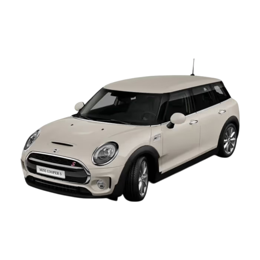
 Mini Cooper
›
Mini Cooper
›
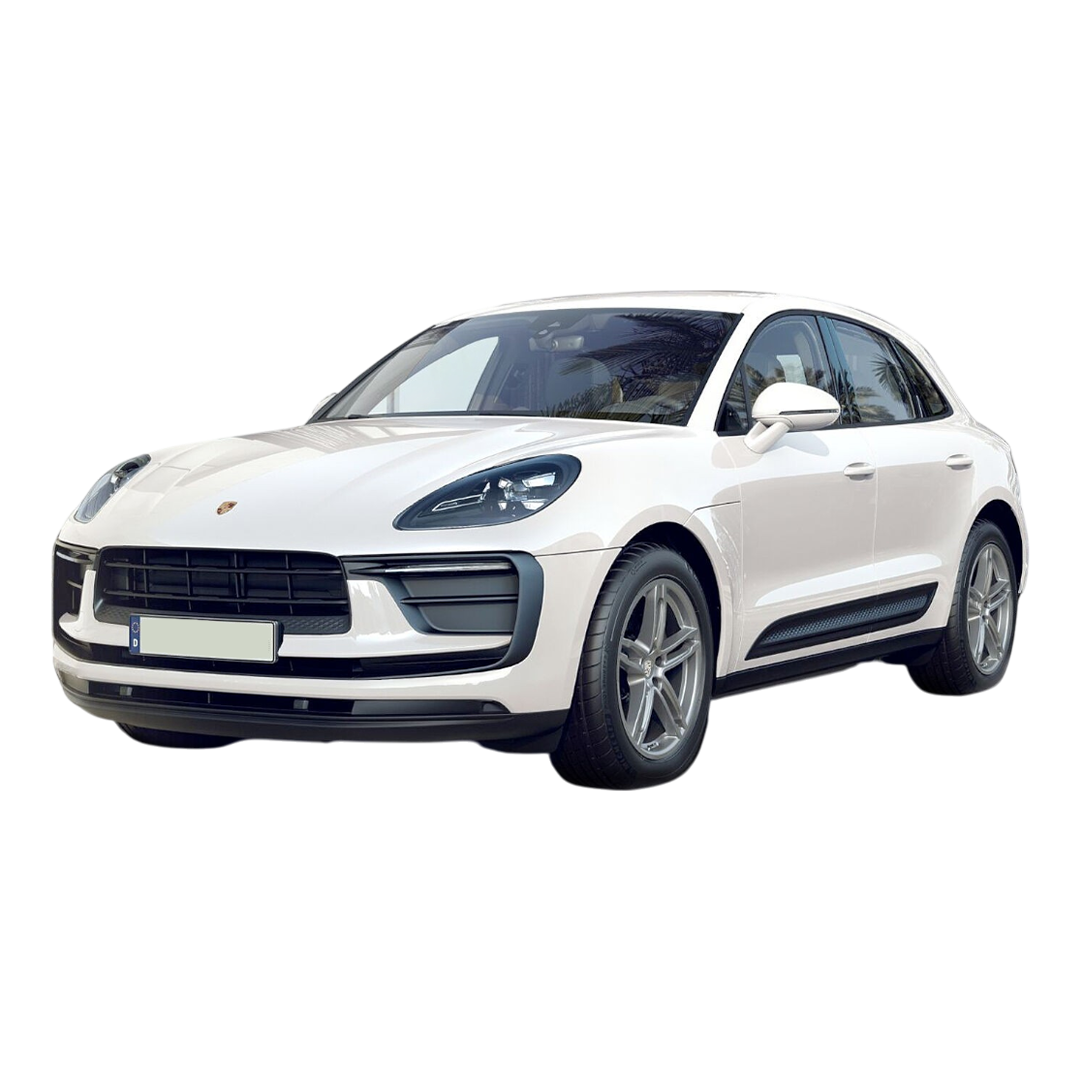
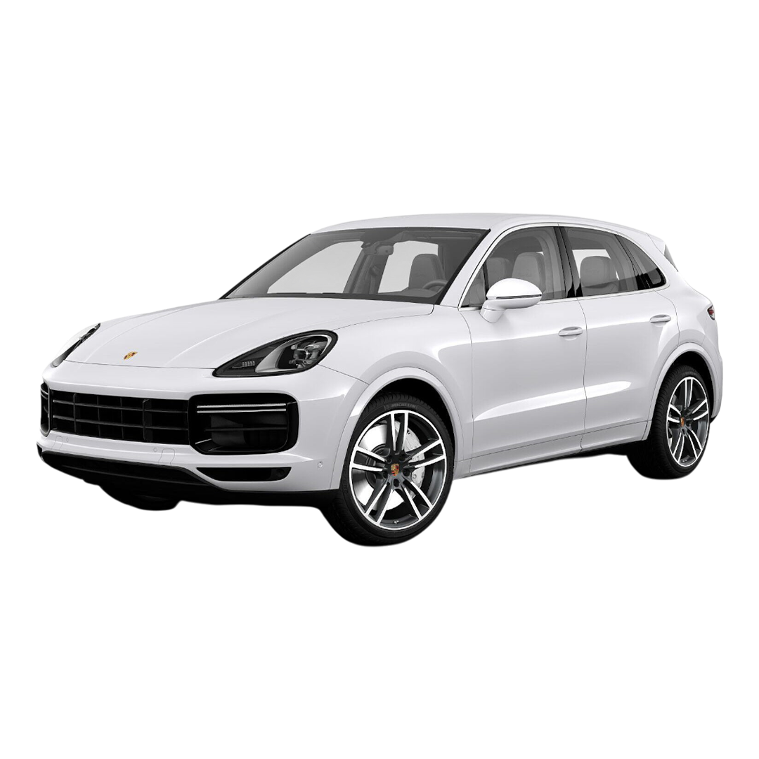
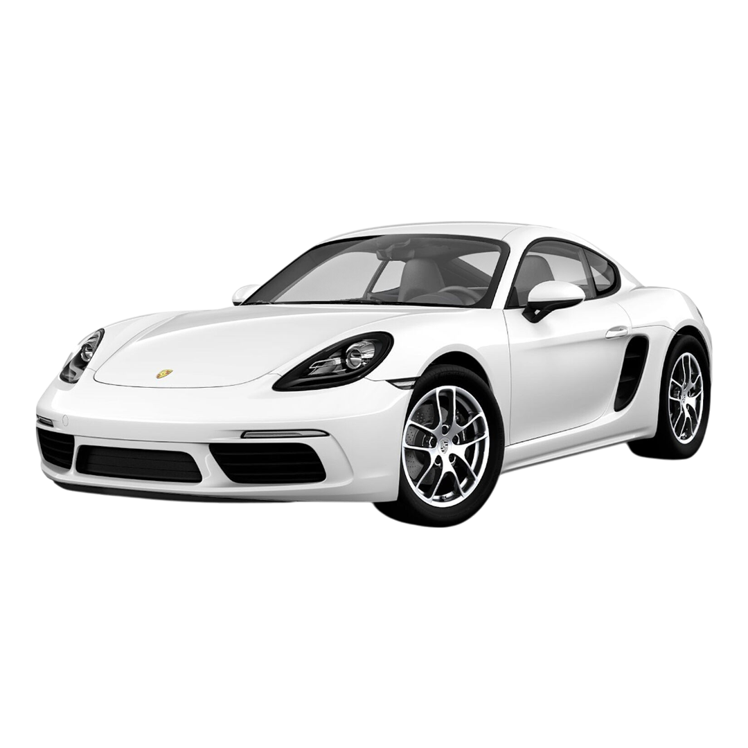
 Porsche
›
Porsche
›
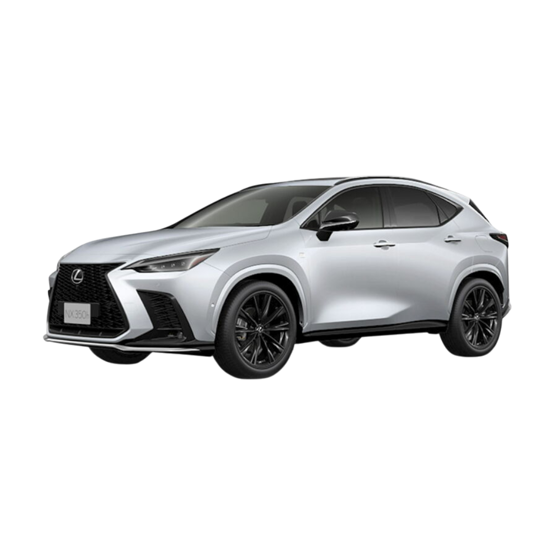
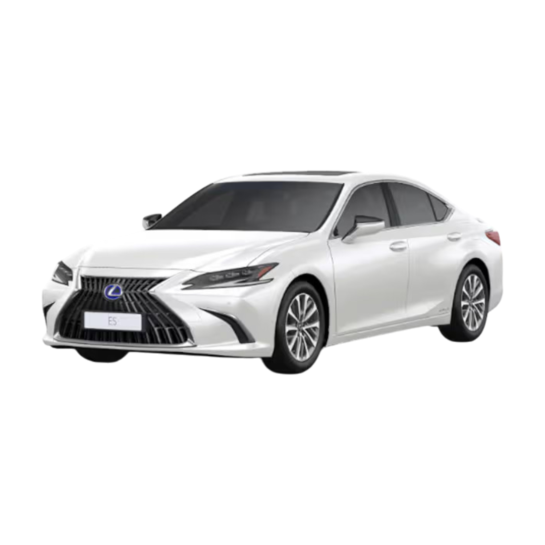
 Lexus
›
Citron
›
Fors
›
Morris Garages
›
Lexus
›
Citron
›
Fors
›
Morris Garages
›
 Nexon
Nexon
 Harrier
 Altroz
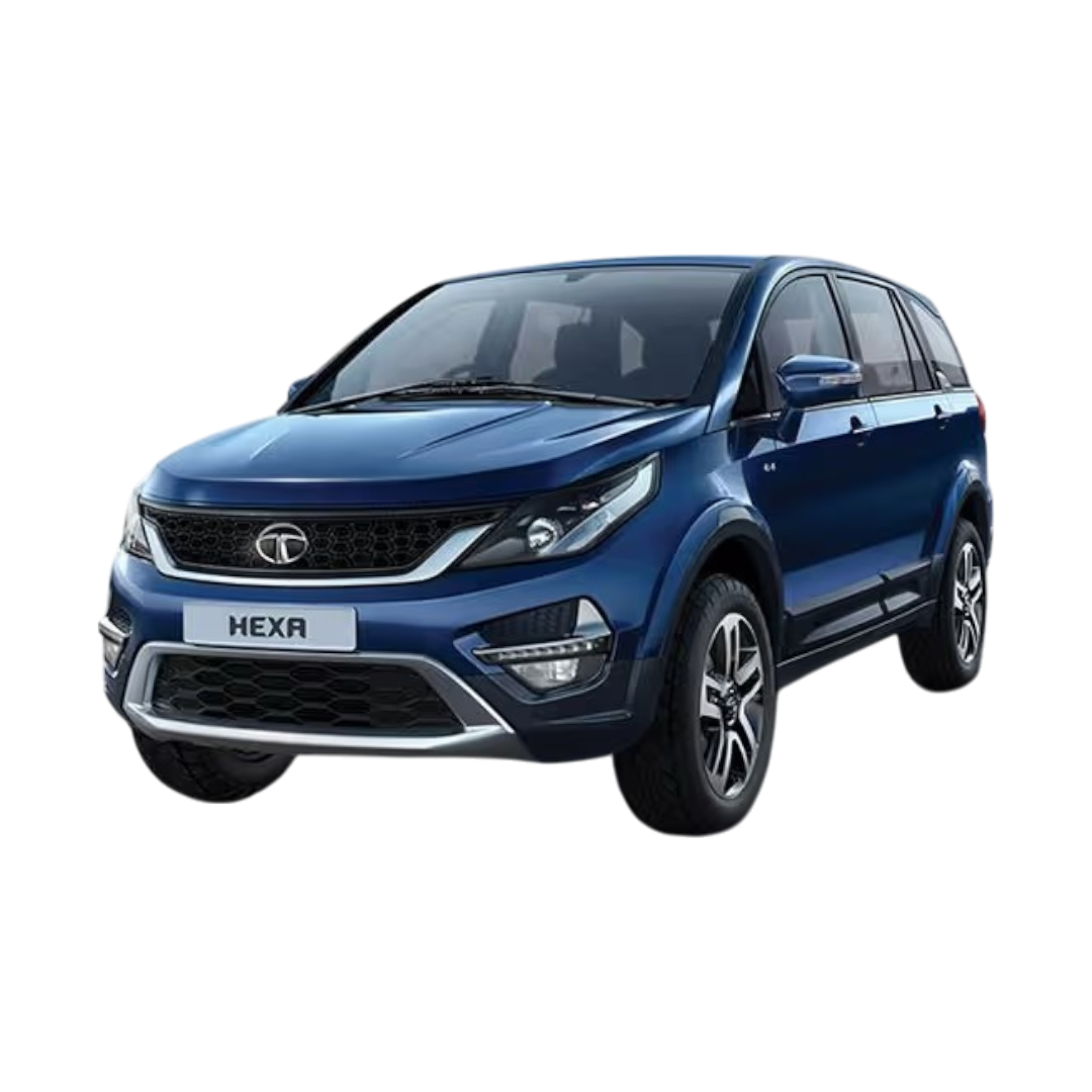 Hexa
Hexa
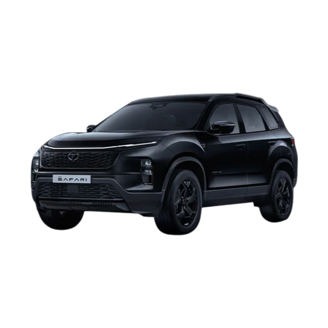 Safari
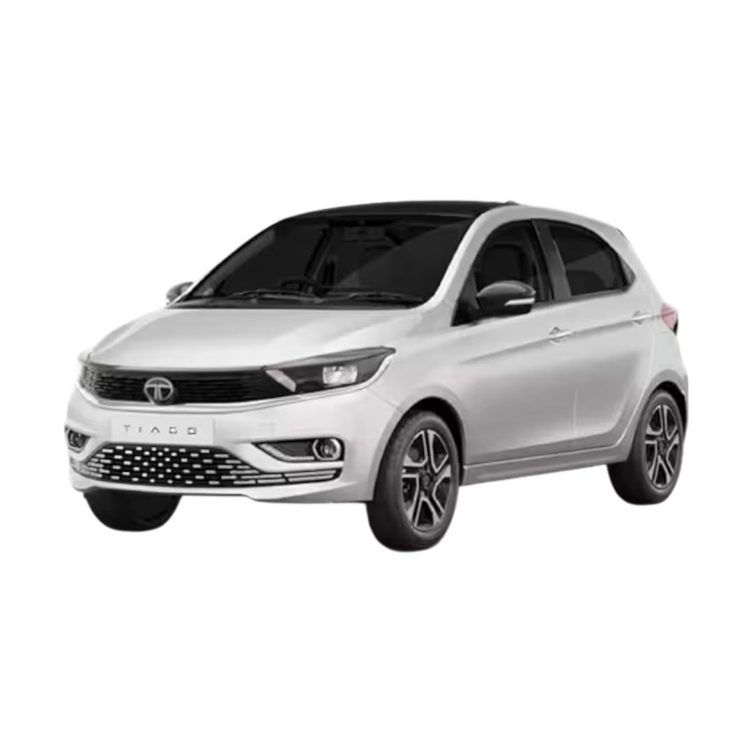 Tiago
Tiago
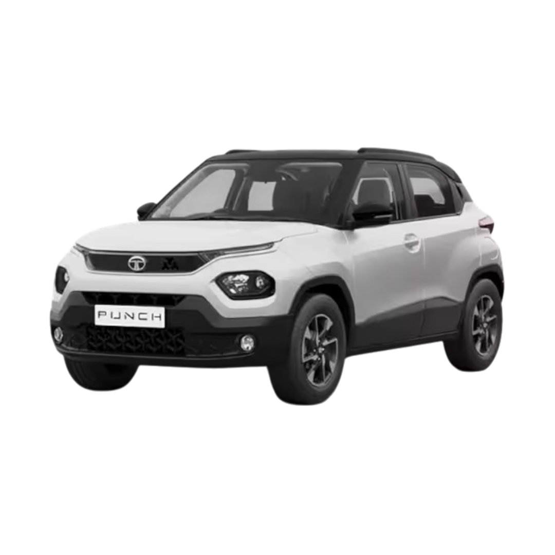 Punch
Punch
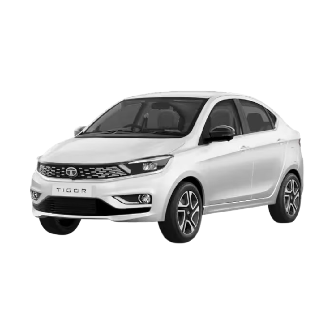 Tigor
Tigor
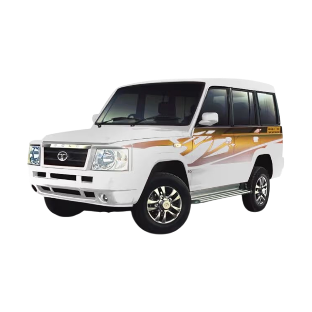 Sumo
Sumo
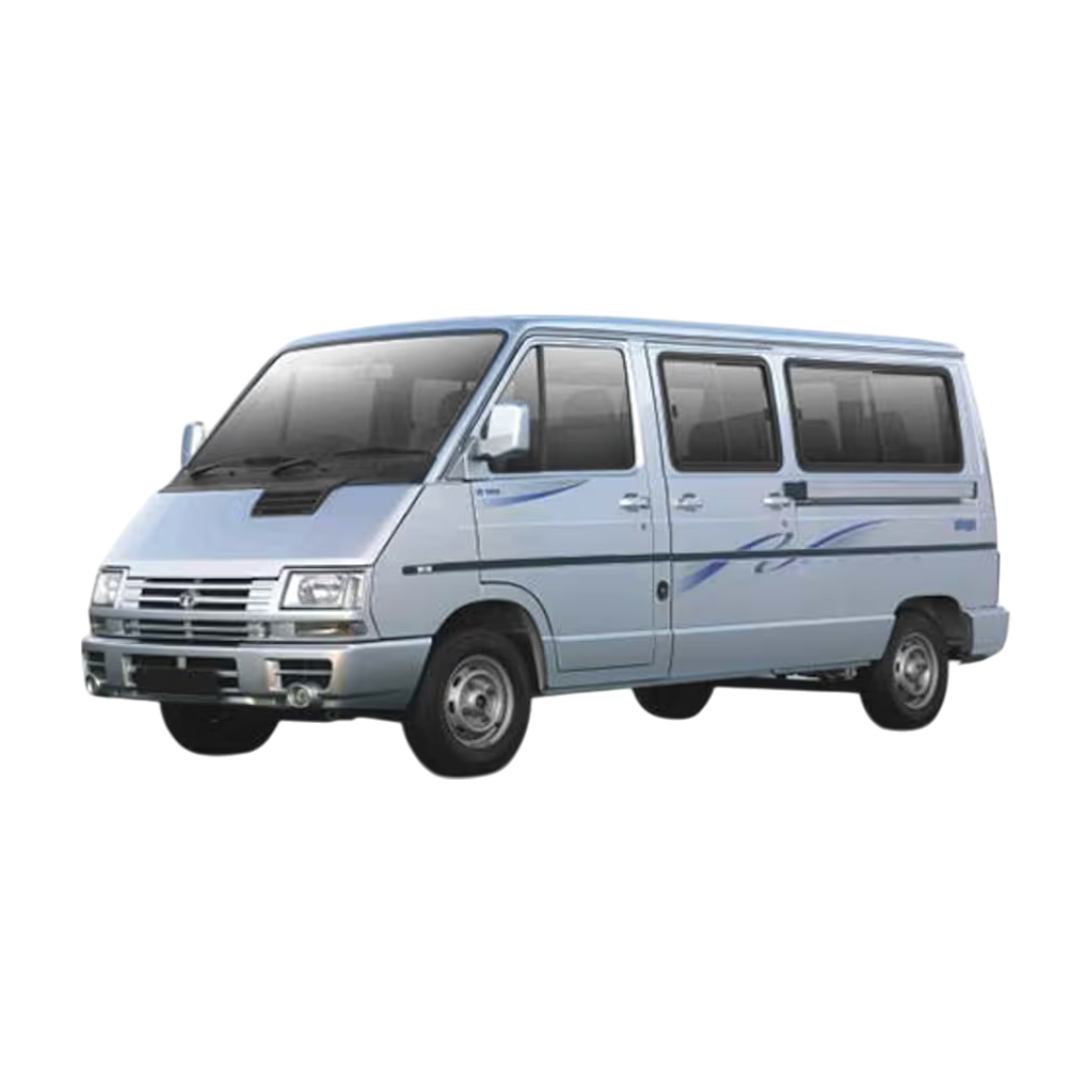 Winger
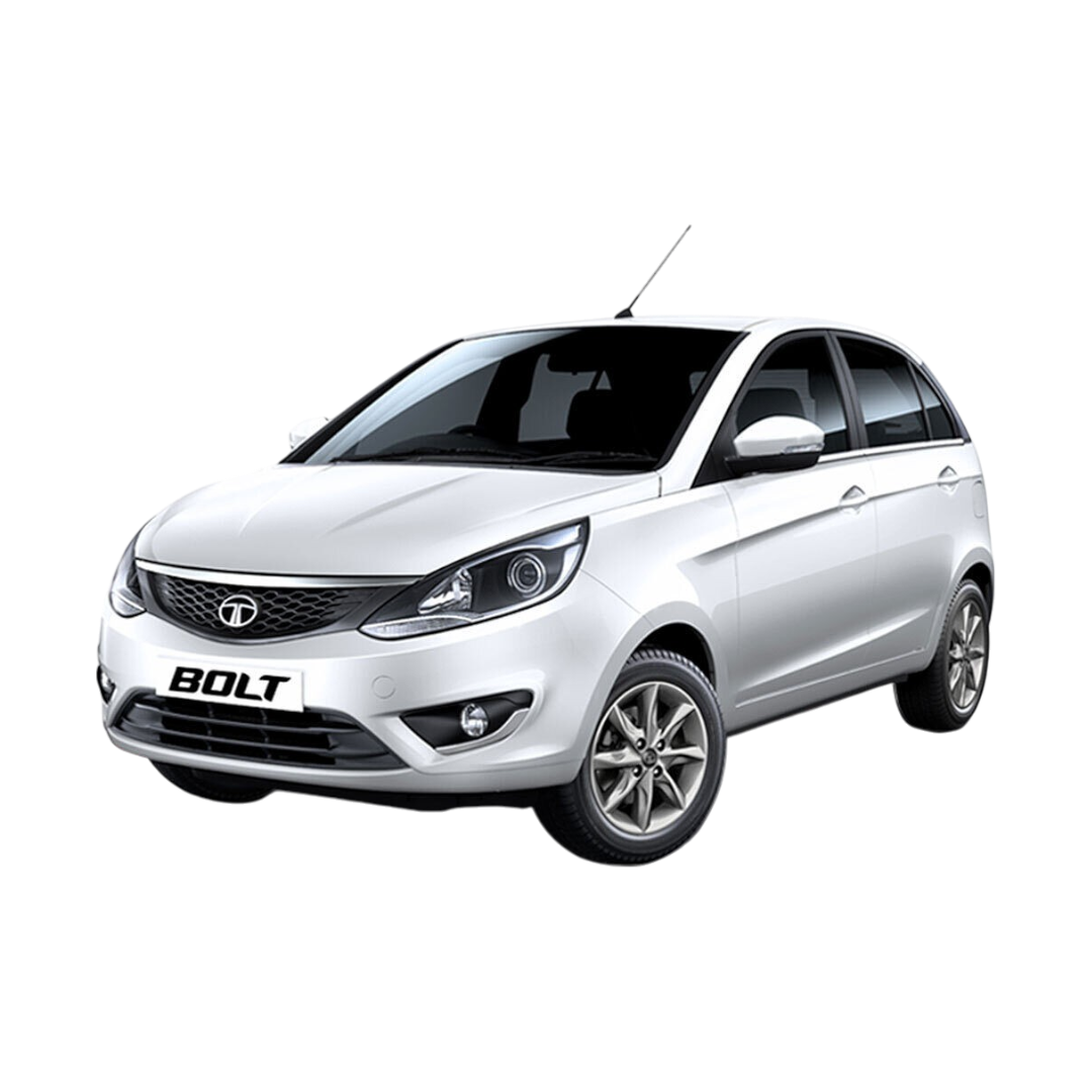 Bolt
Bolt
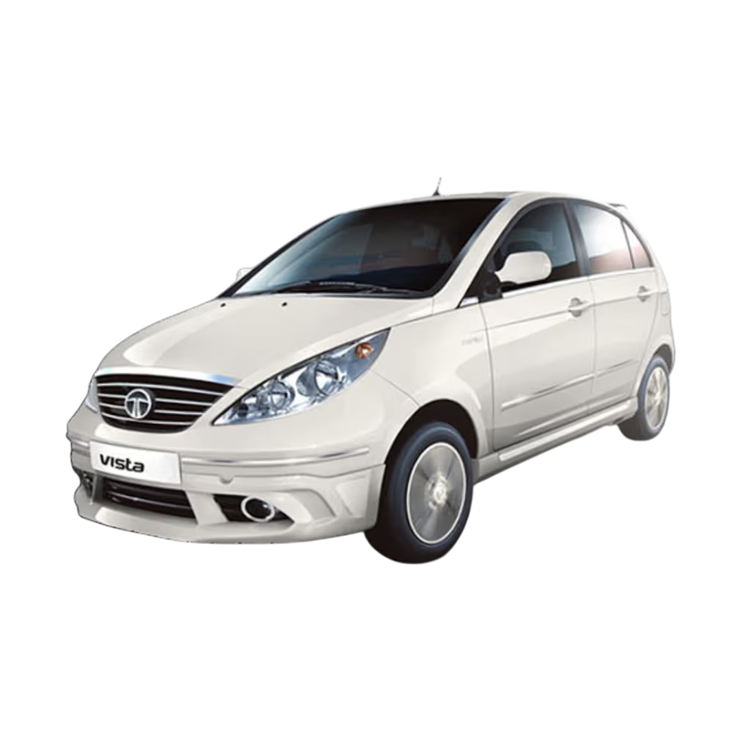 Vista
Vista
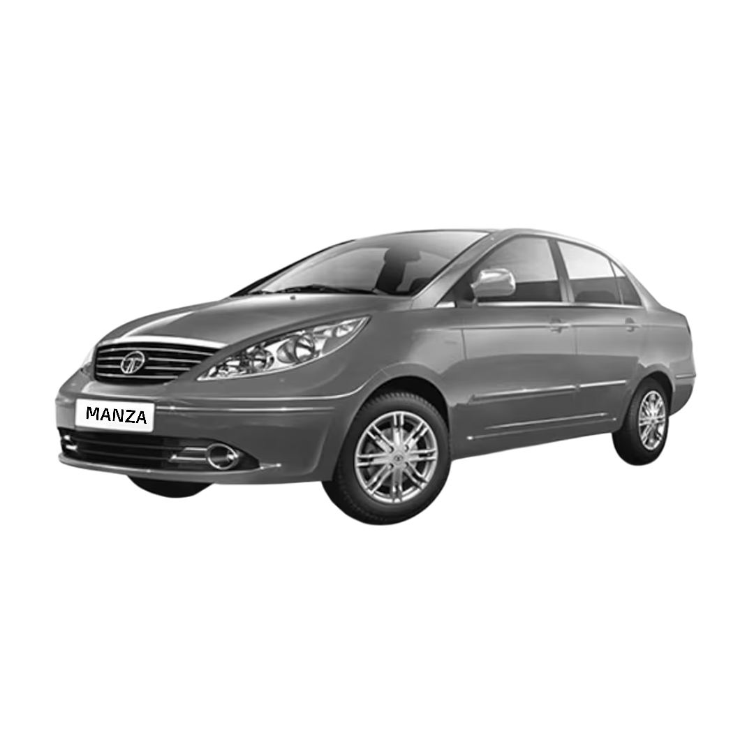 Manza
Manza
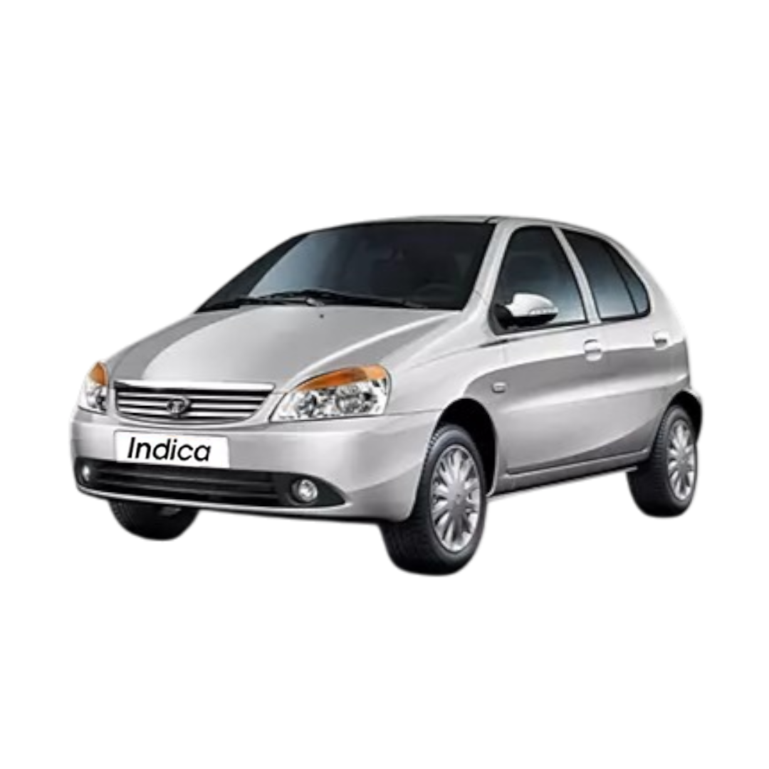 Indica
 Indigo
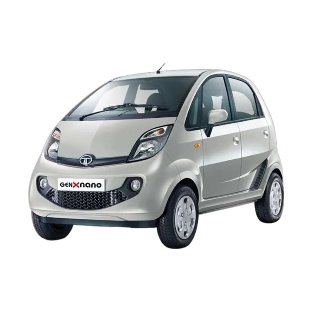 Nano
Nano
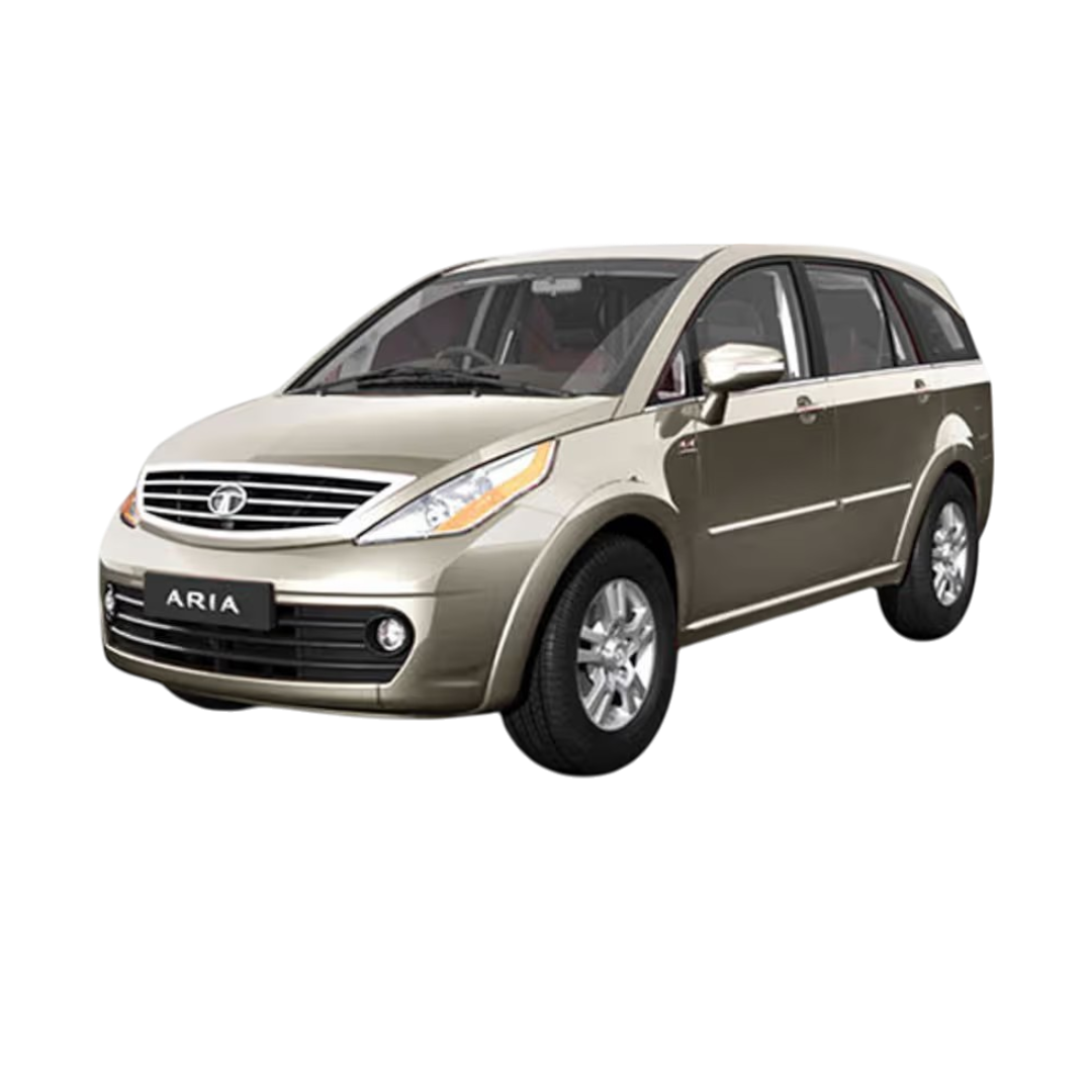 Aria
Aria
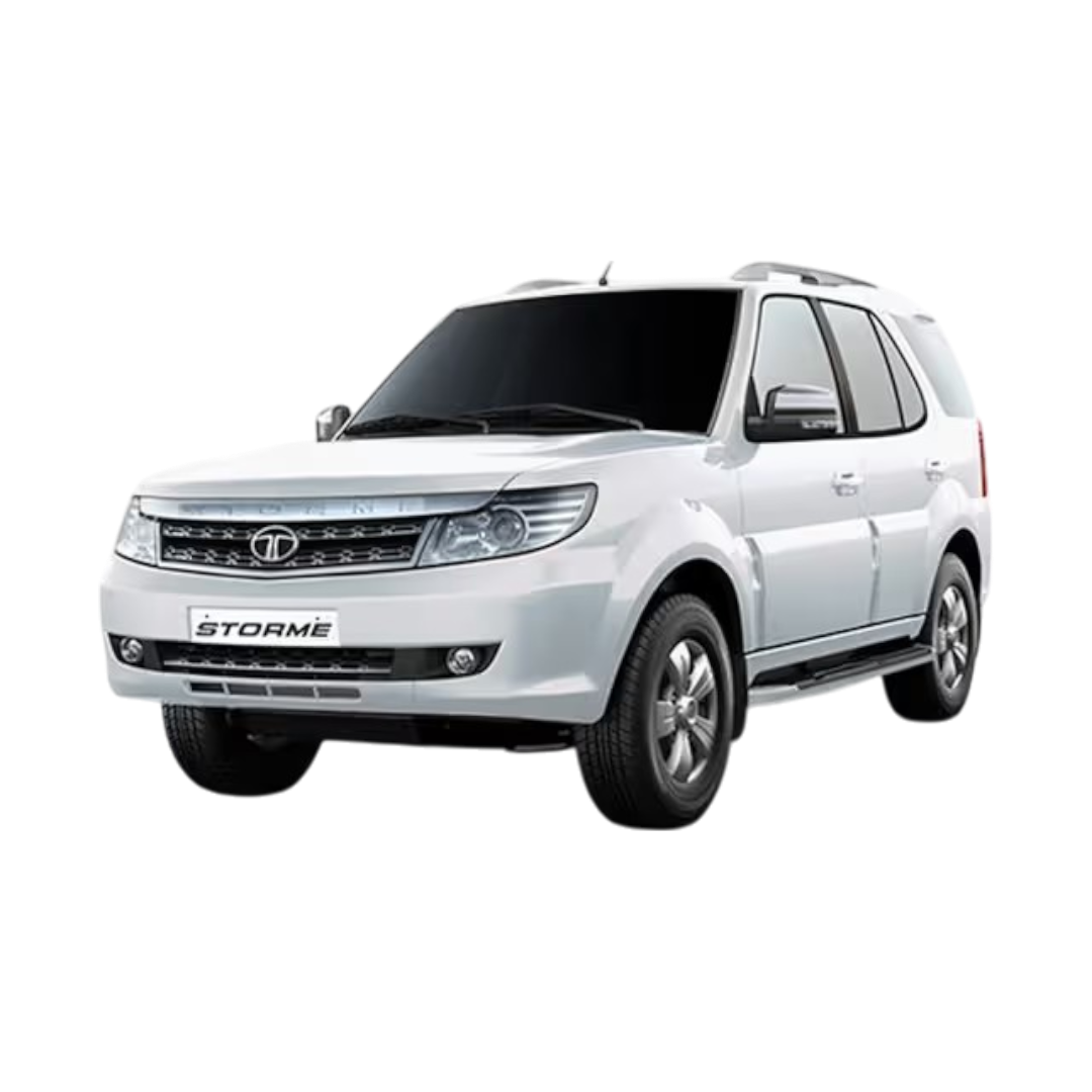 Safari Storme
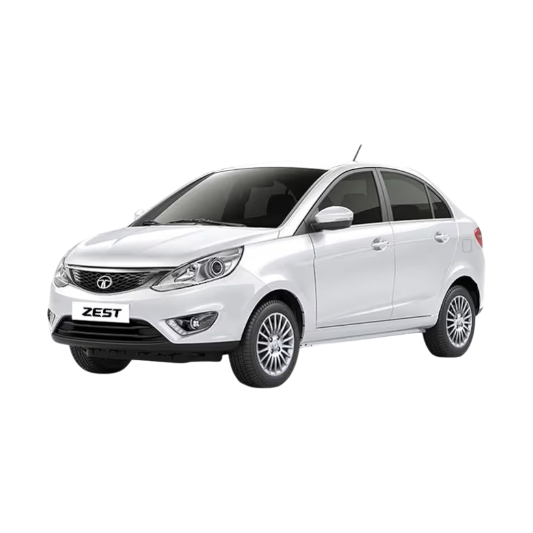 Zest
Zest
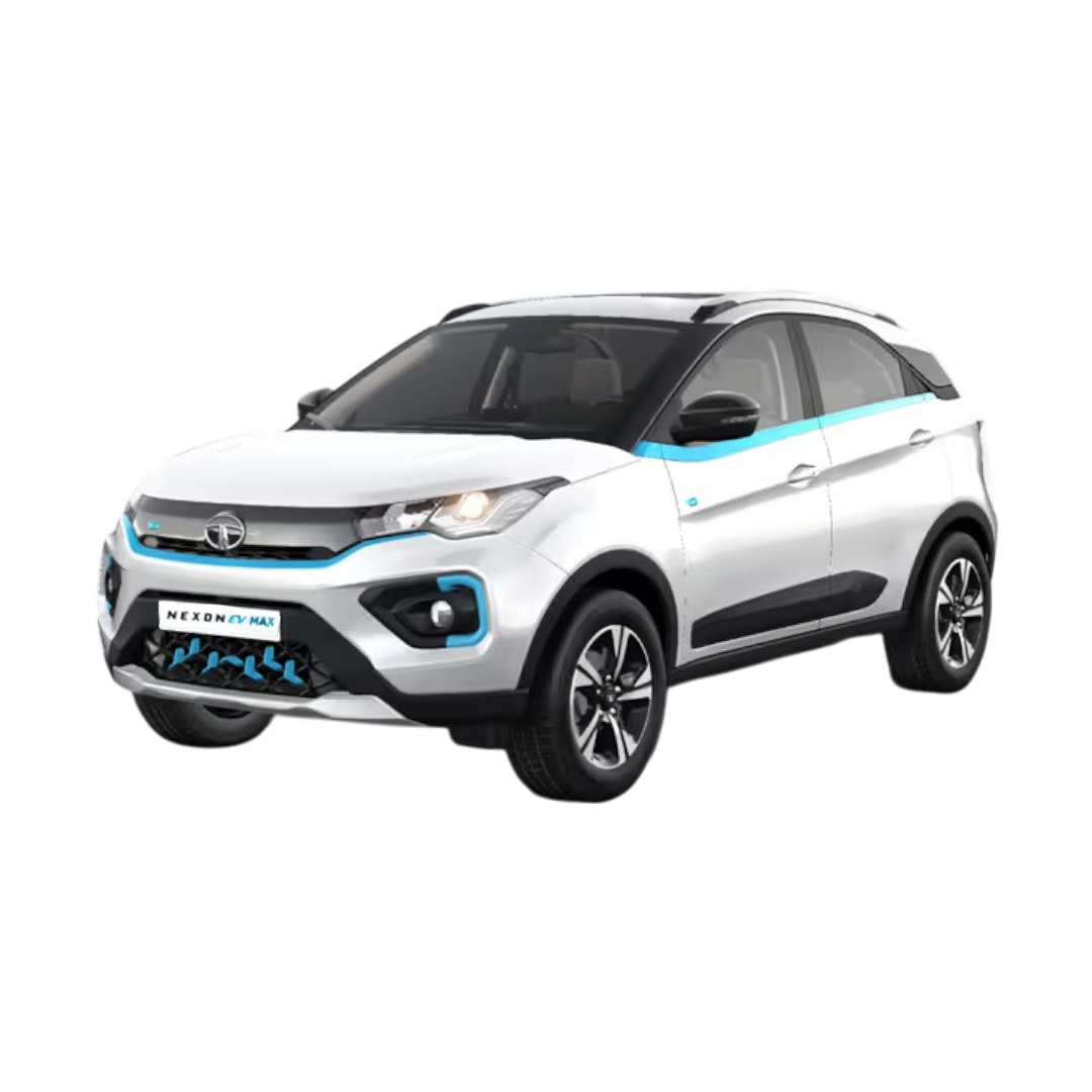 NEXON EV Max
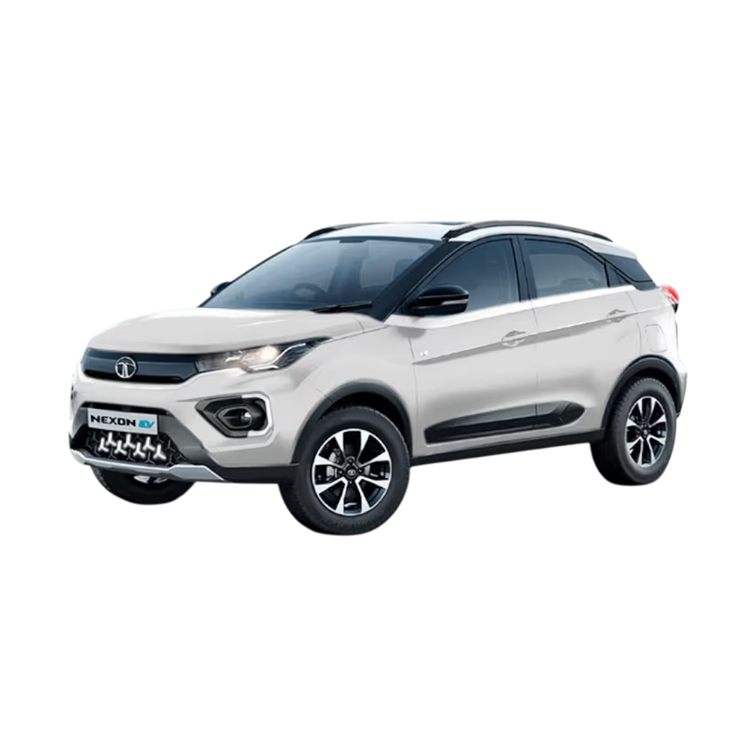 NEXON EV Prime
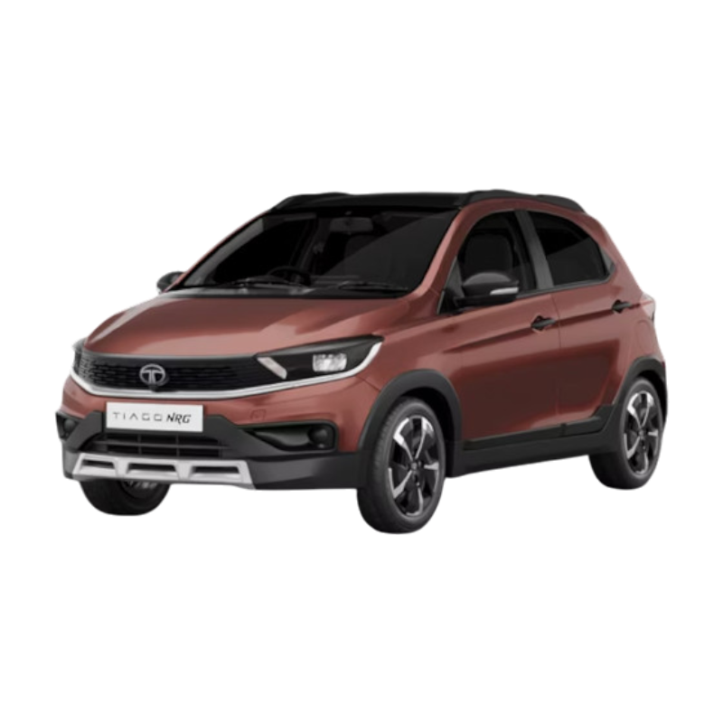 Tiago NRG
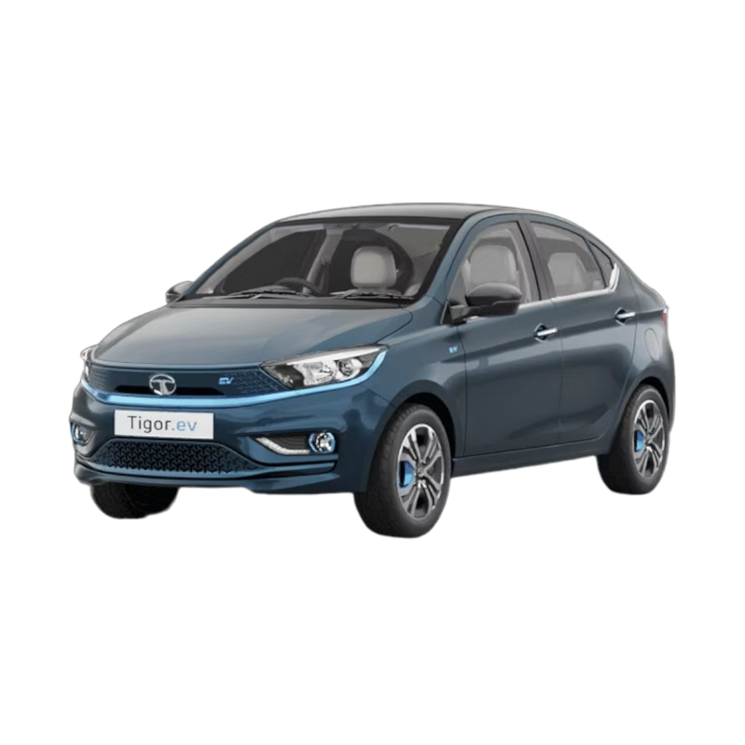 Tigor EV
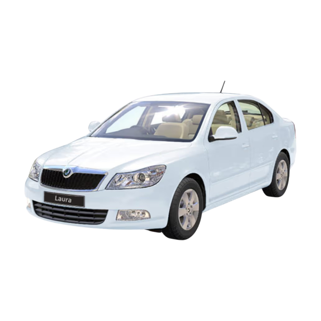
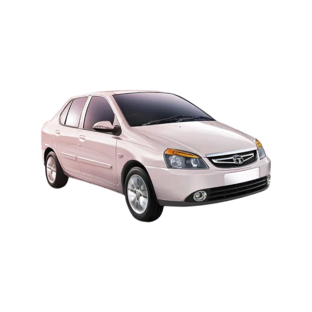
INDICA VISTA
Curvv
Sierra
Magic
Tigor EV
INDICA VISTA
Curvv
Sierra
Magic
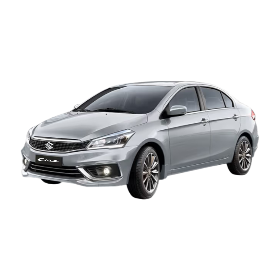 Ciaz
Ciaz
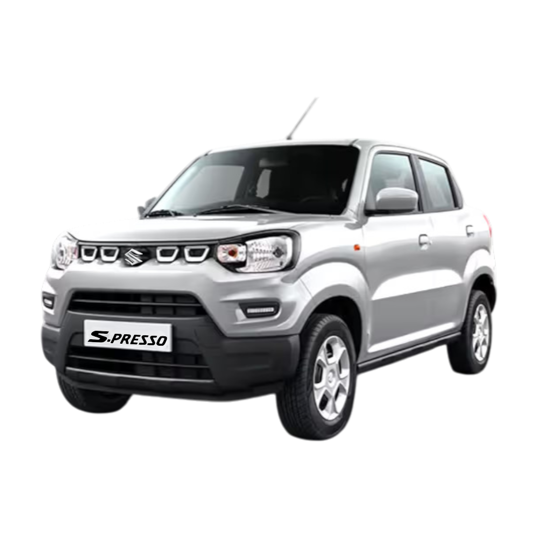 S-Presso
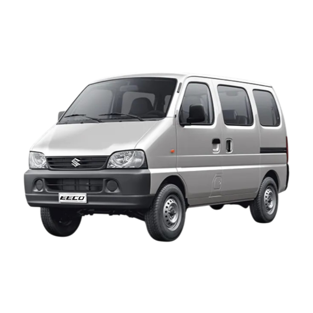 Eeco/Versa
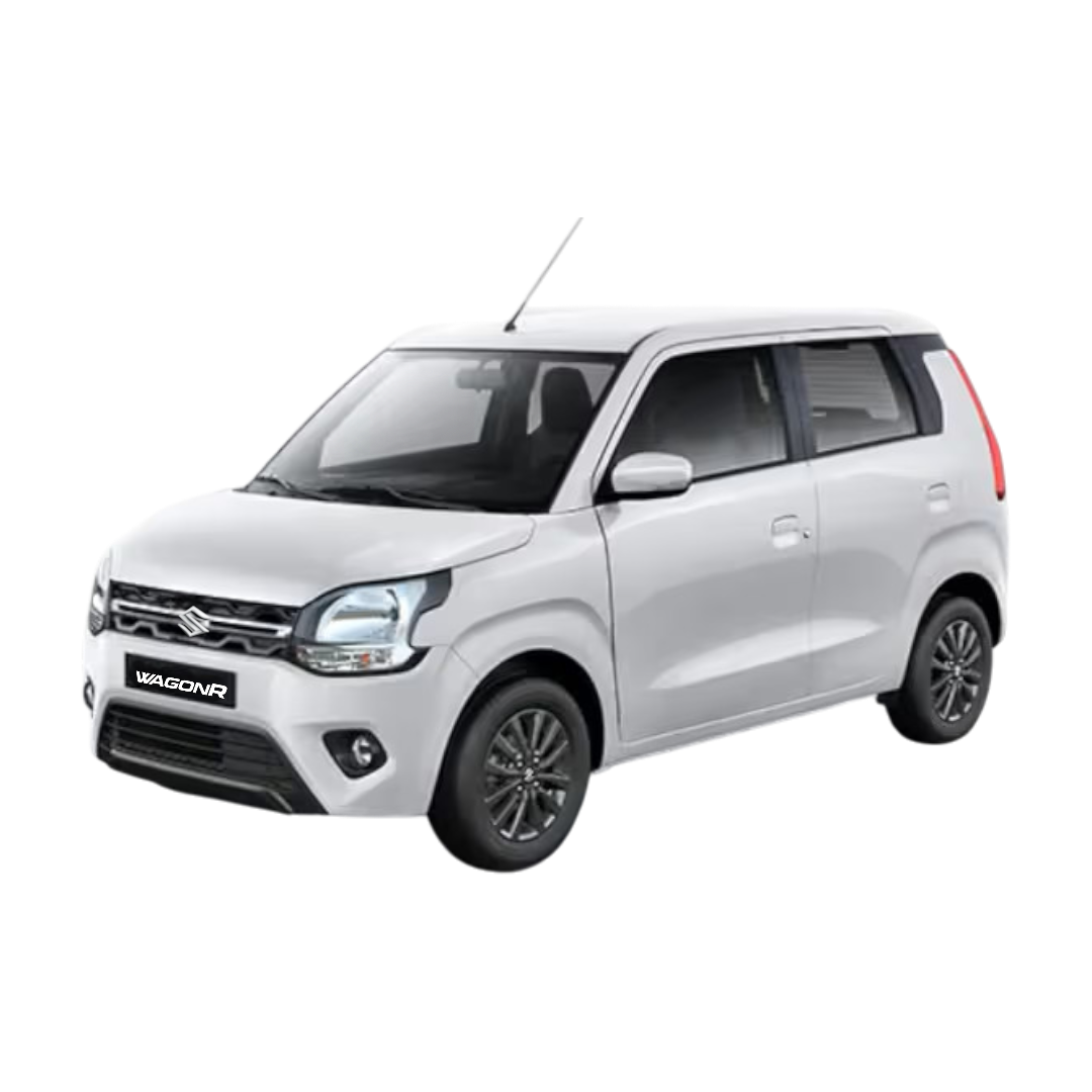 WagonR
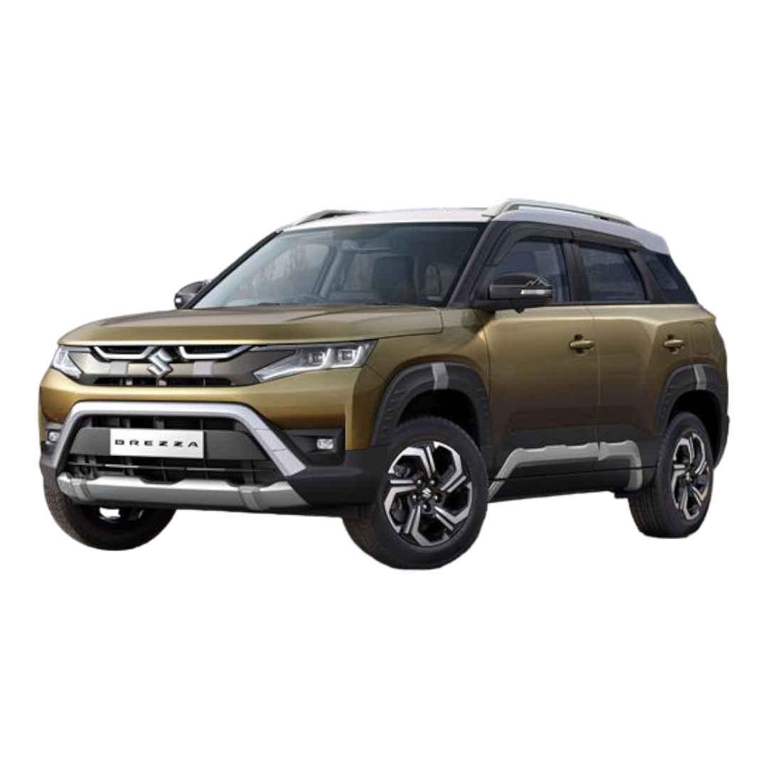 Brezza
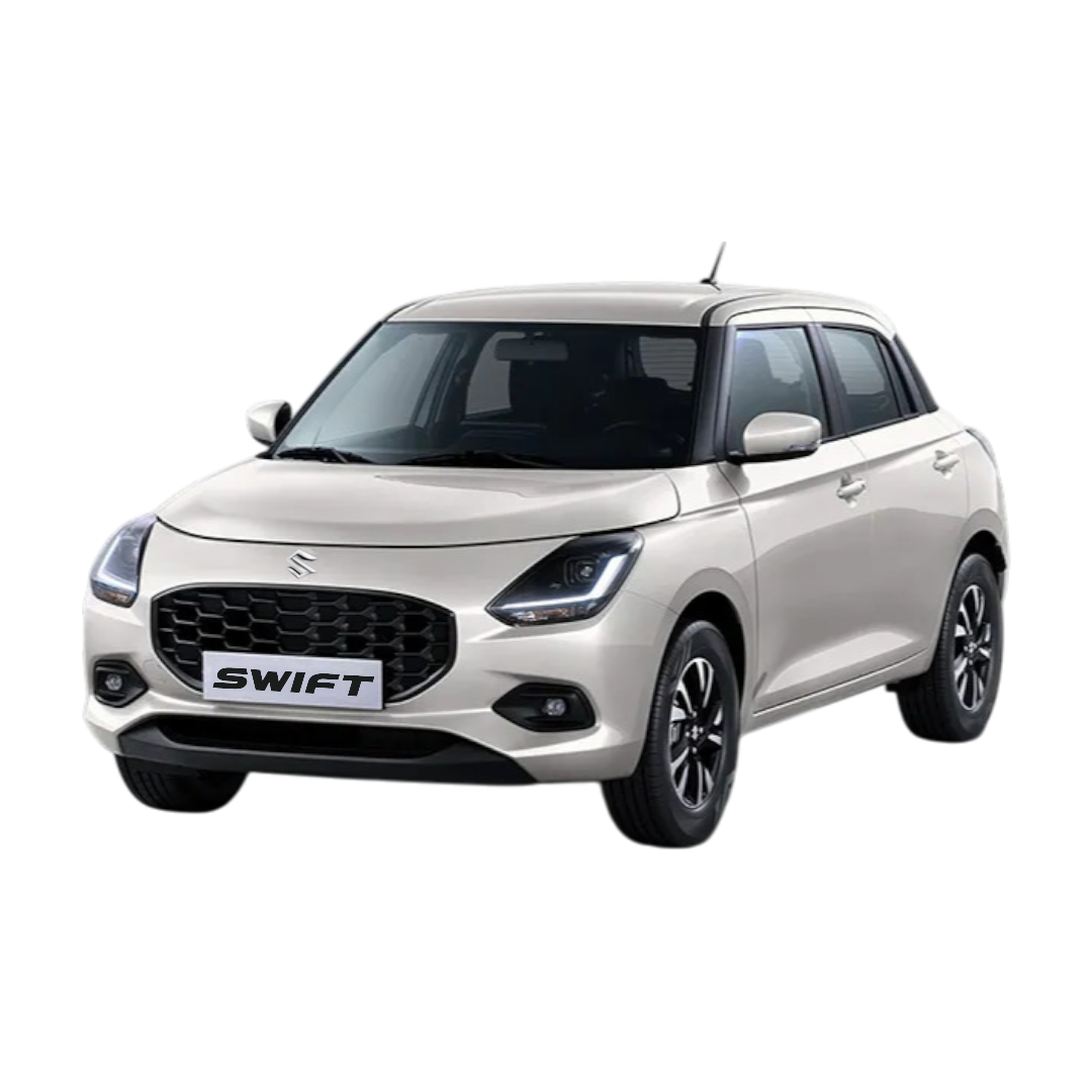 Swift
Swift
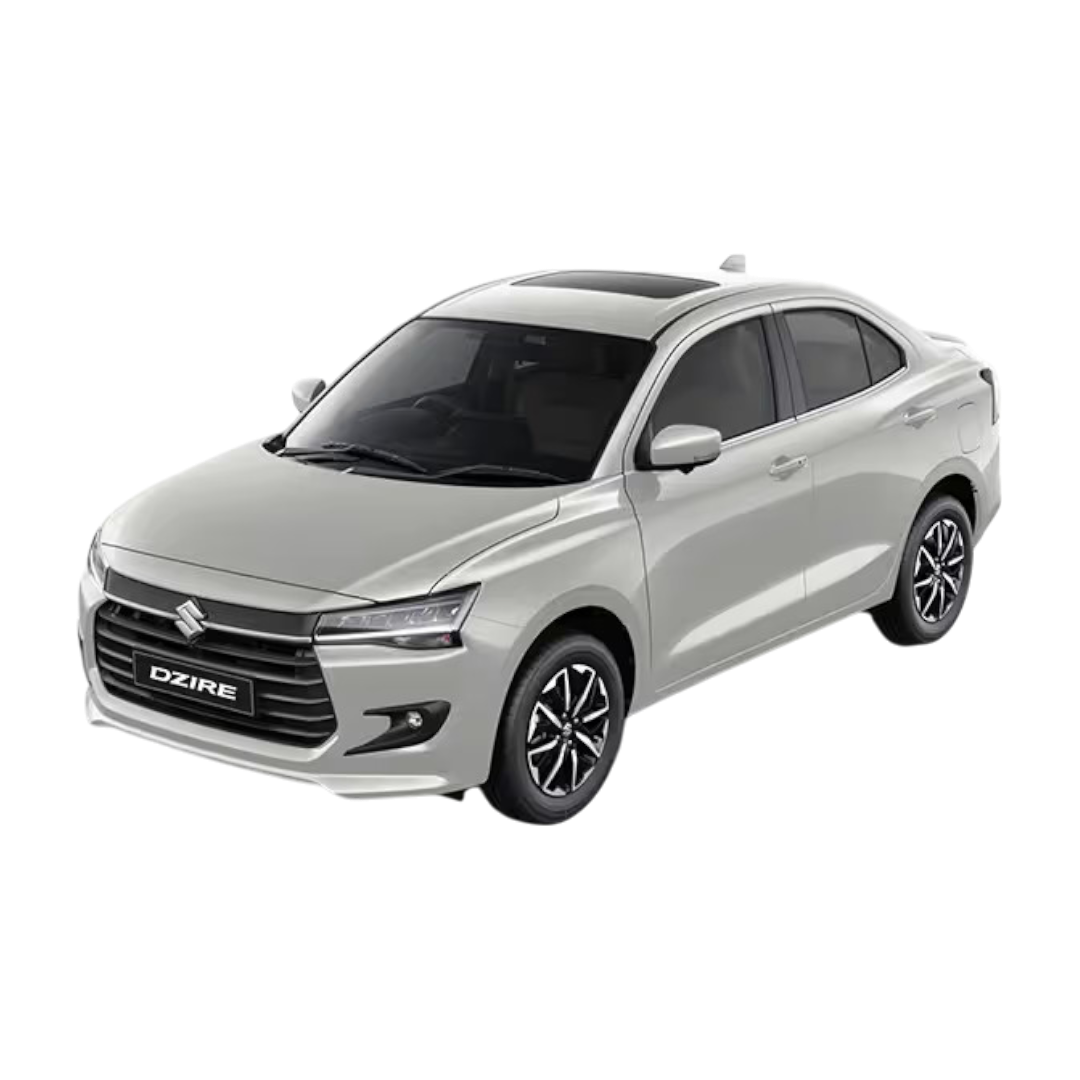 Dzire
Dzire
 Baleno
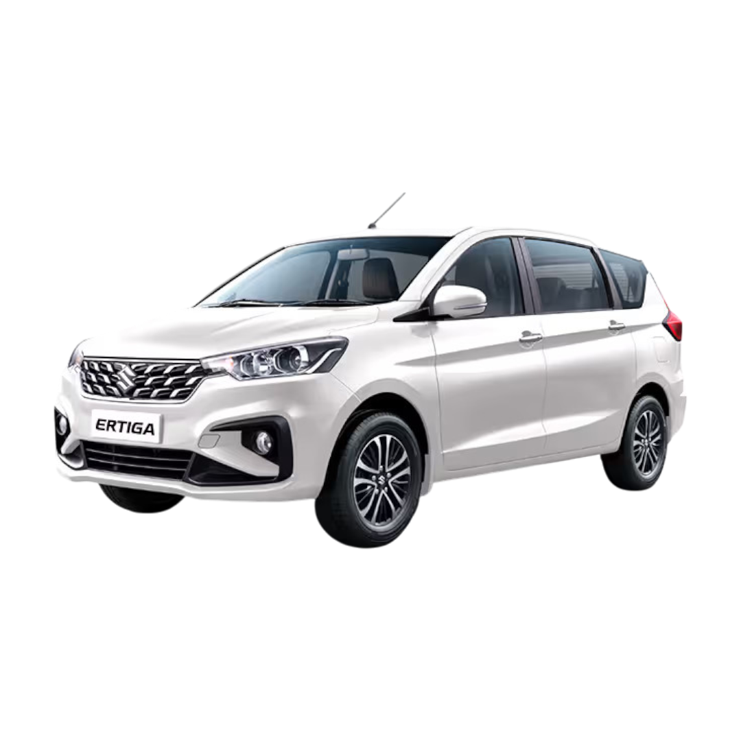 Ertiga
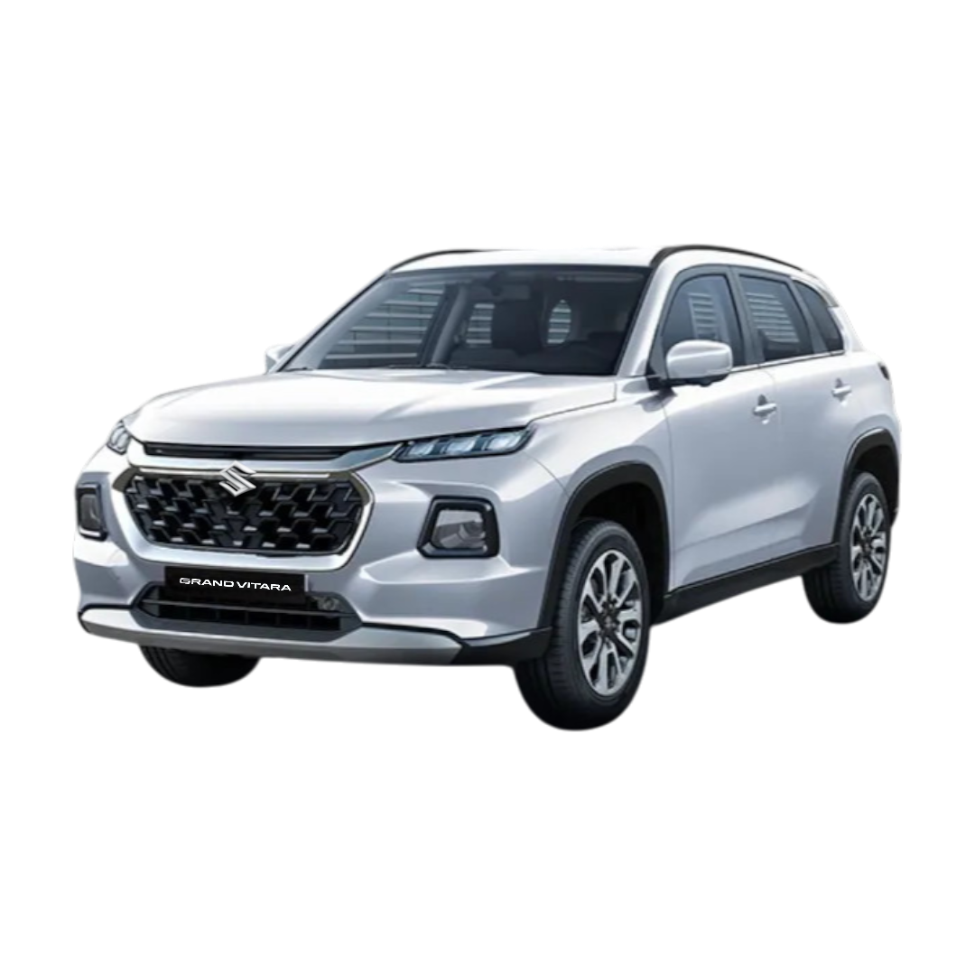 Grand Vitara
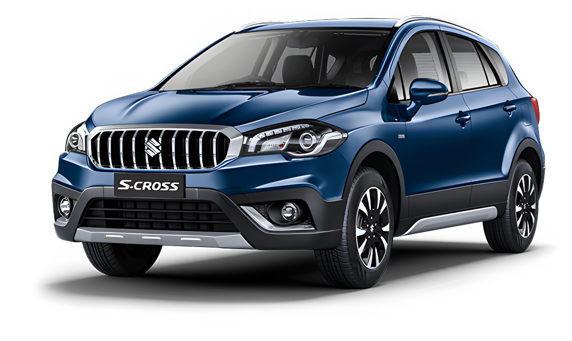 S-Cross
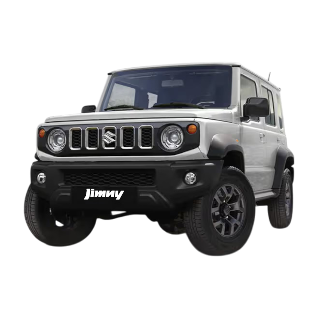 Jimny
Jimny
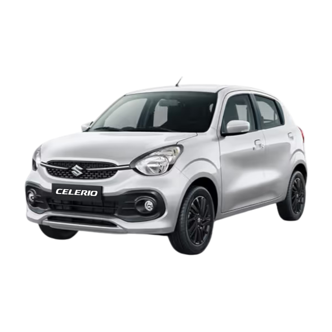 Celerio
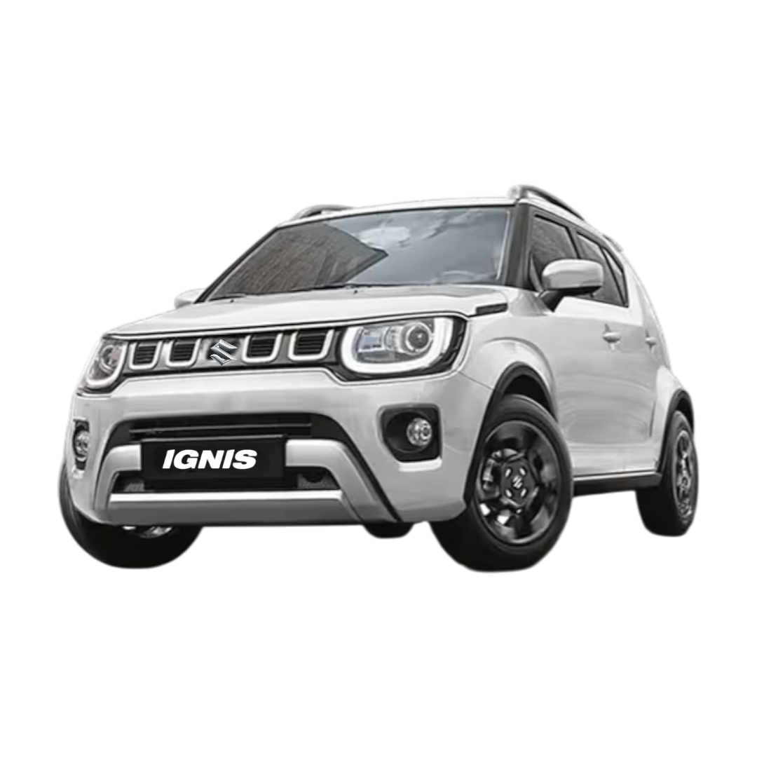 Ignis
Ignis
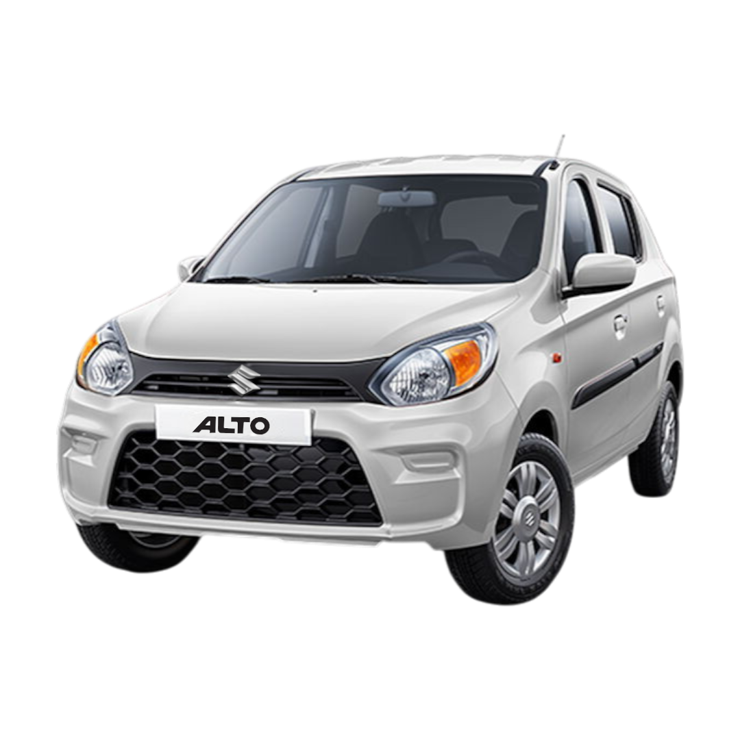 Alto 800
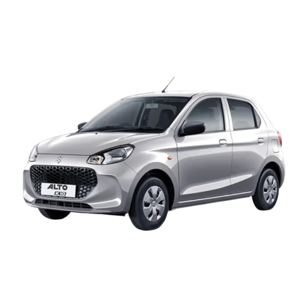 Alto K10
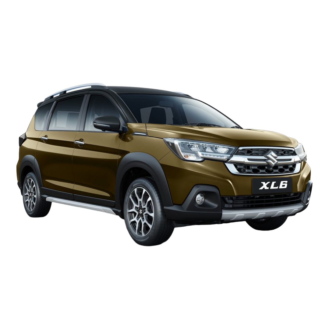 XL6
XL6
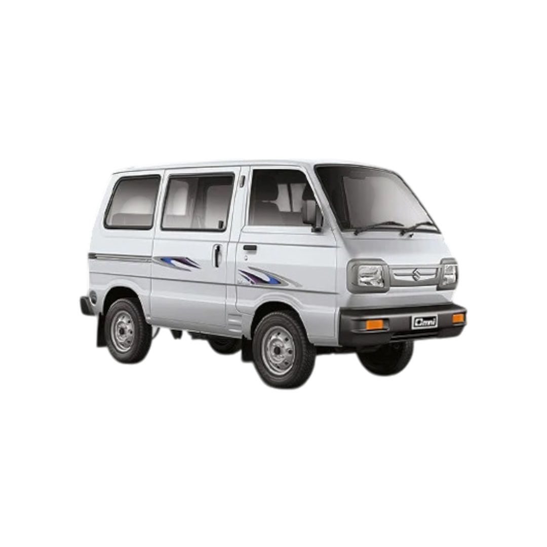 Omni
Omni
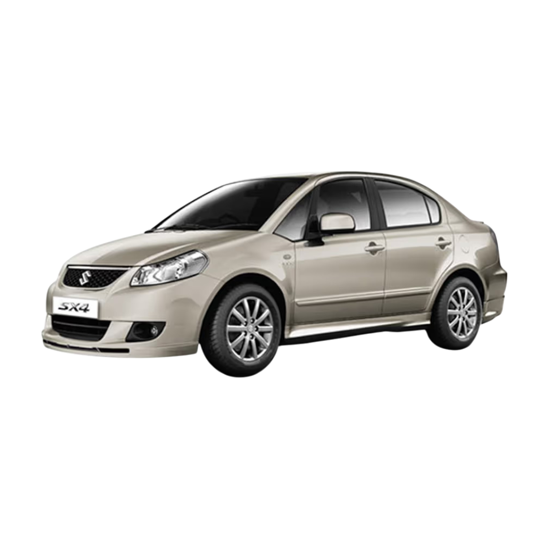 SX4
SX4
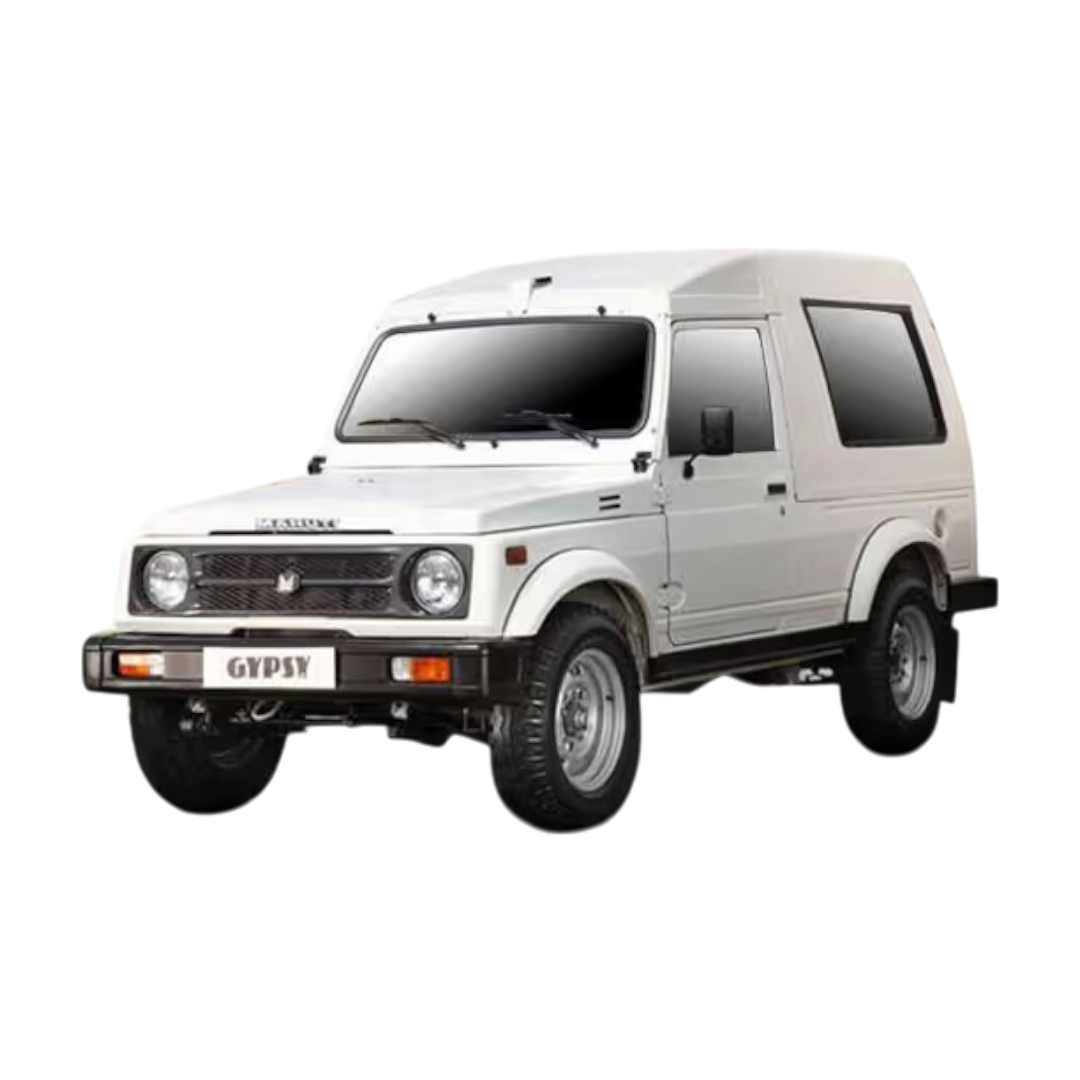 Gypsy
Gypsy
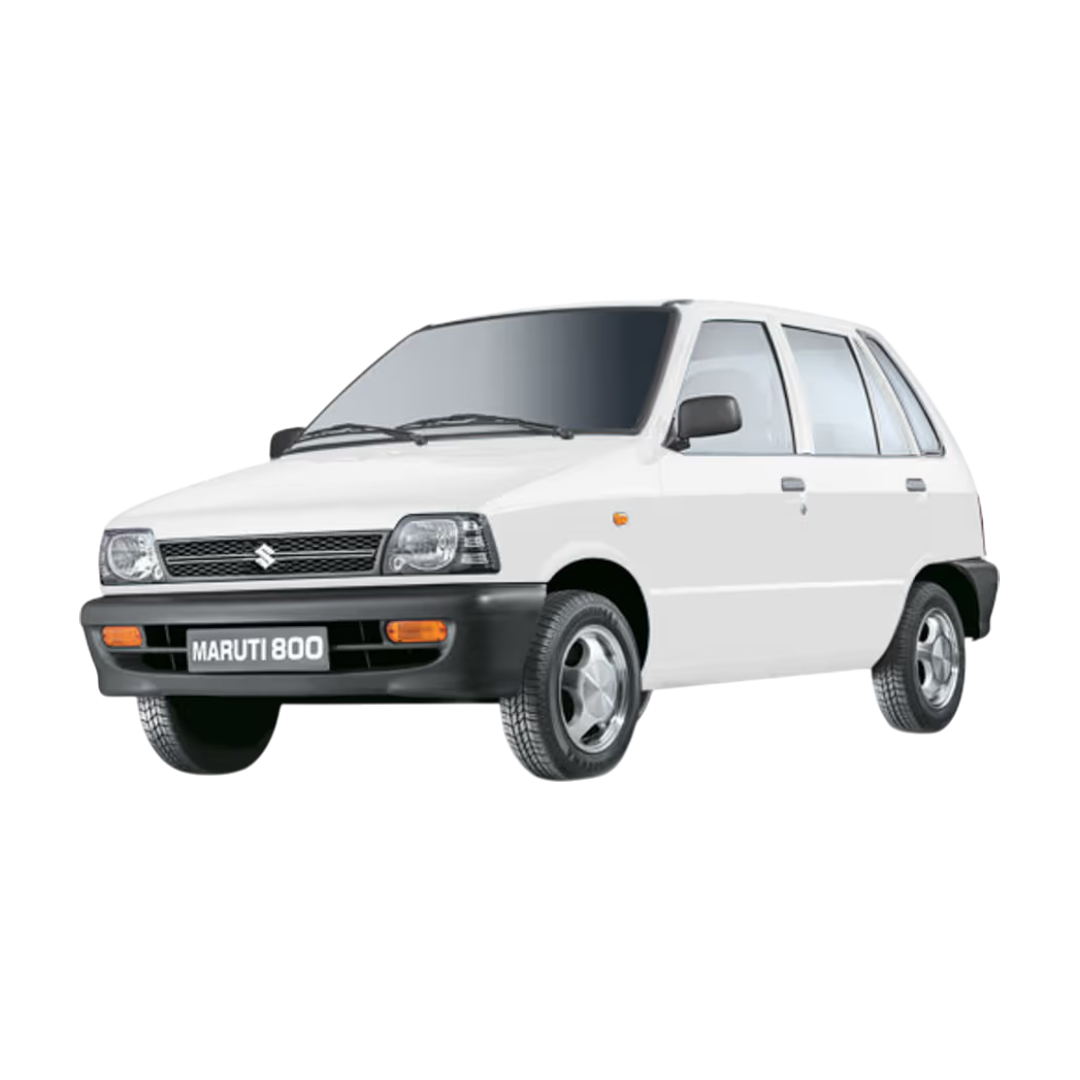 Maruti 800
 Zen
Zen
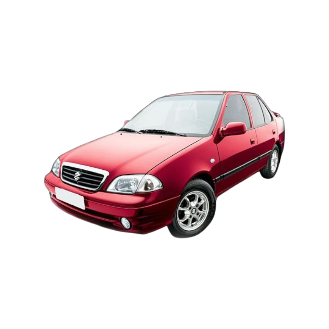 Esteem
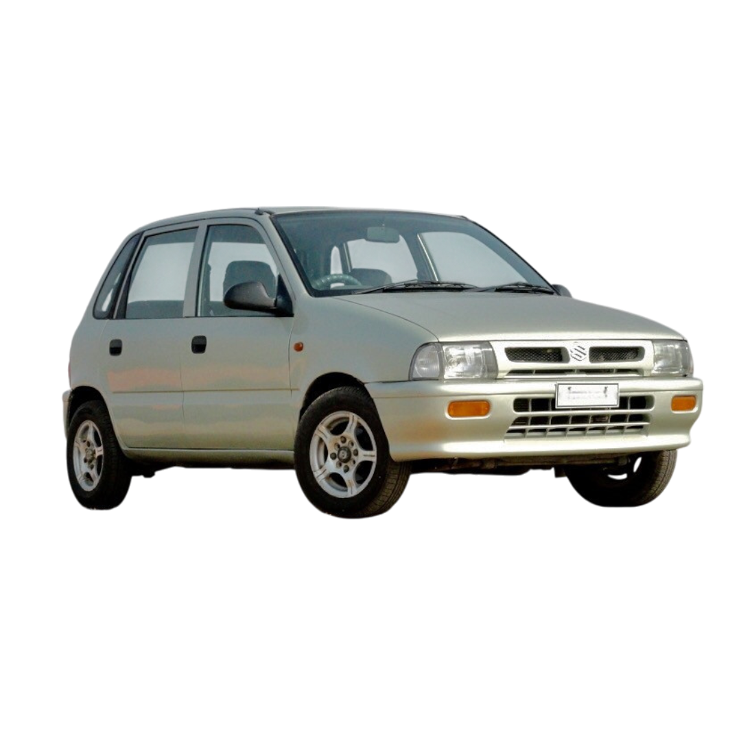
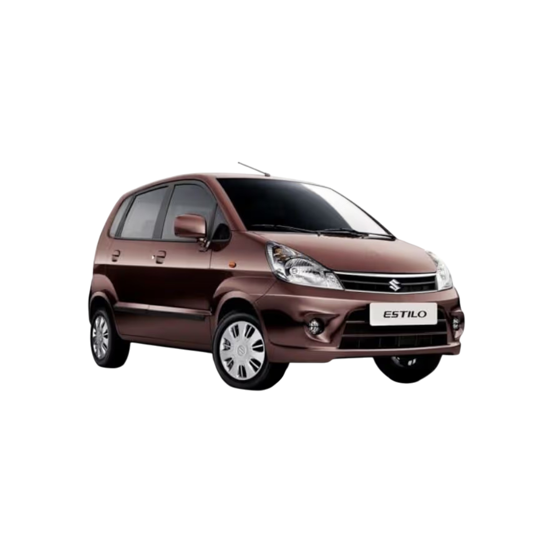 Zen Estilo
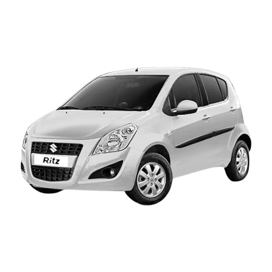 Ritz
Ritz
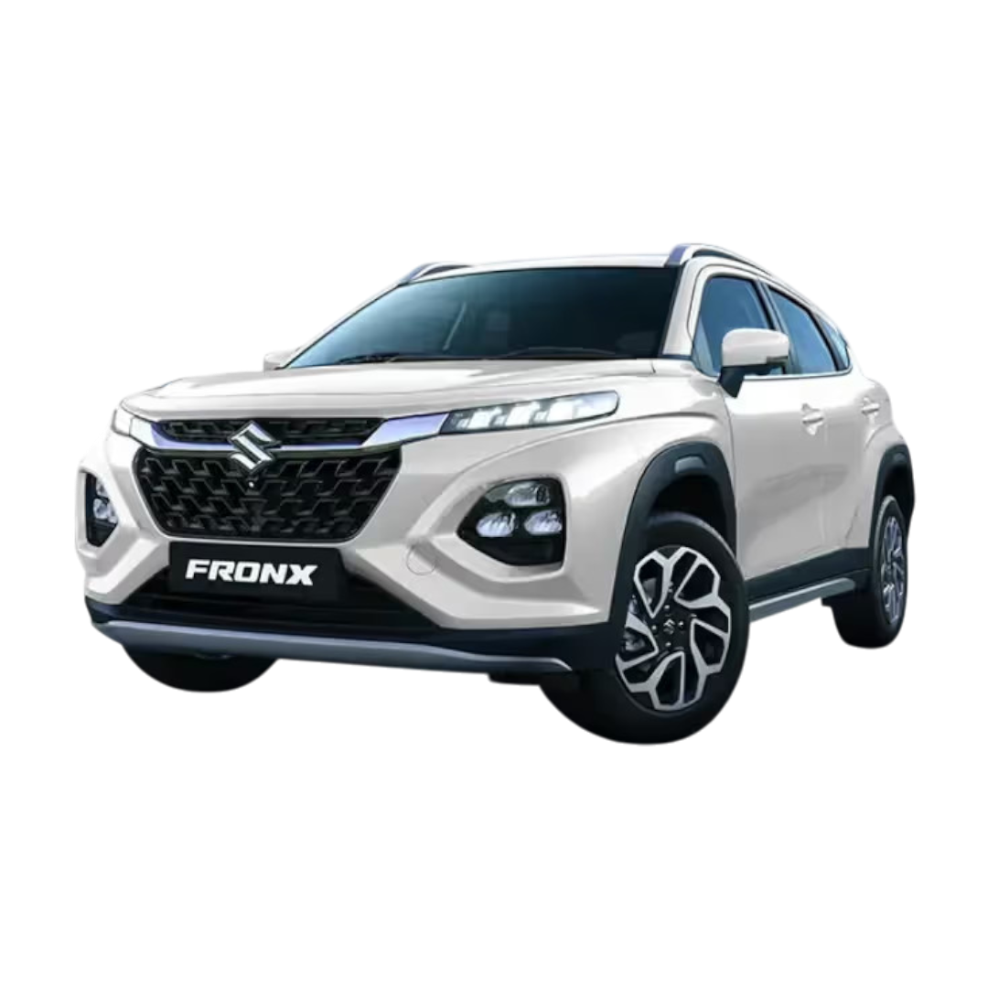 Fronx
Fronx
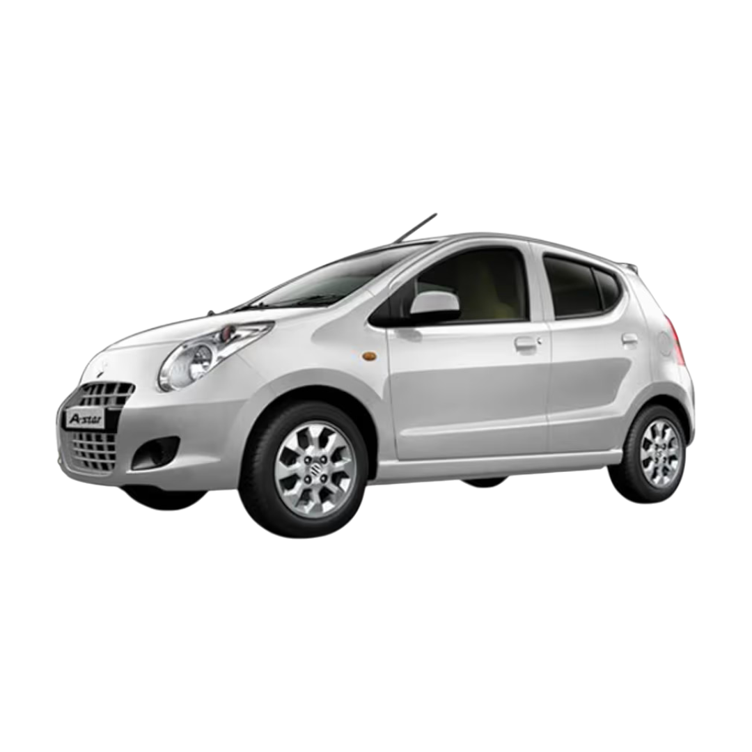 A-Star
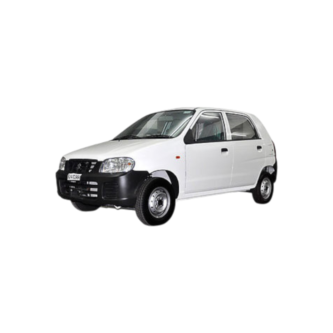 Alto
Alto
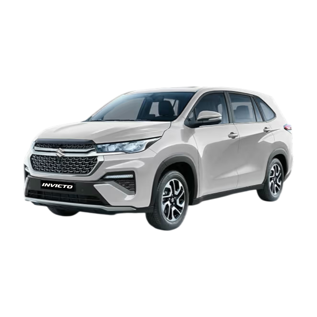 Invicto
Victoris
Wagon R
Invicto
Victoris
Wagon R
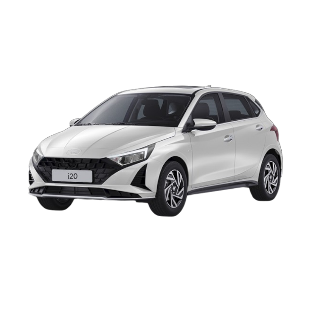 i20
i20
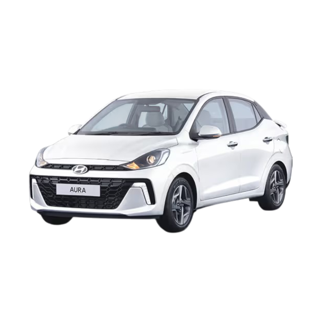 Aura
Aura
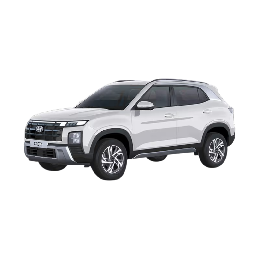 Creta
Creta
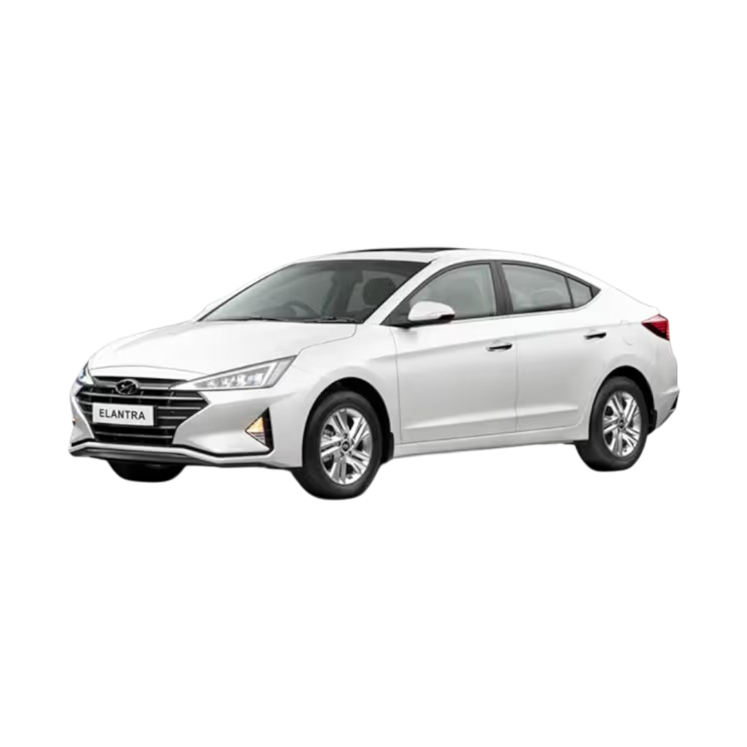 Elantra
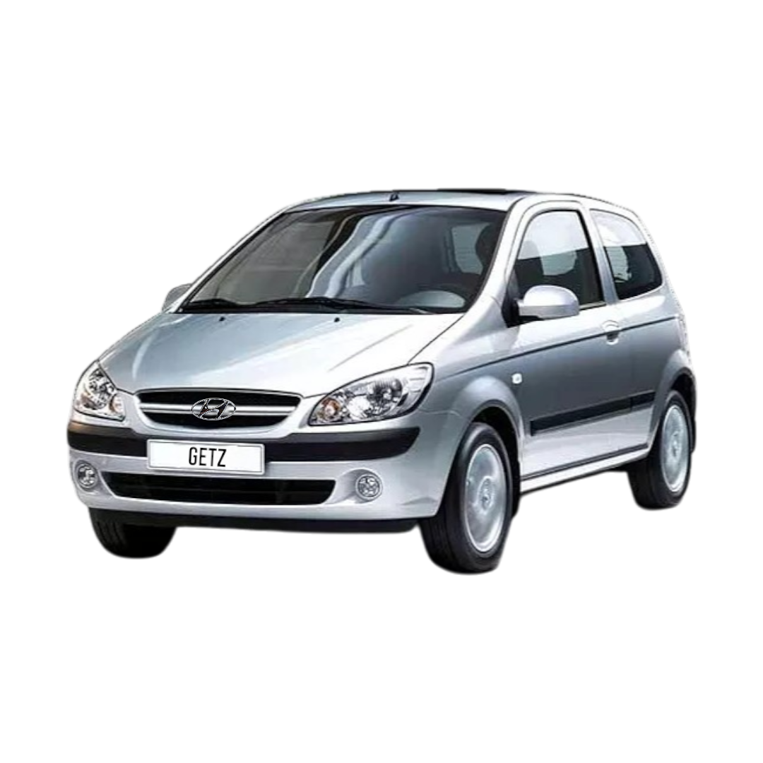 Getz
Getz
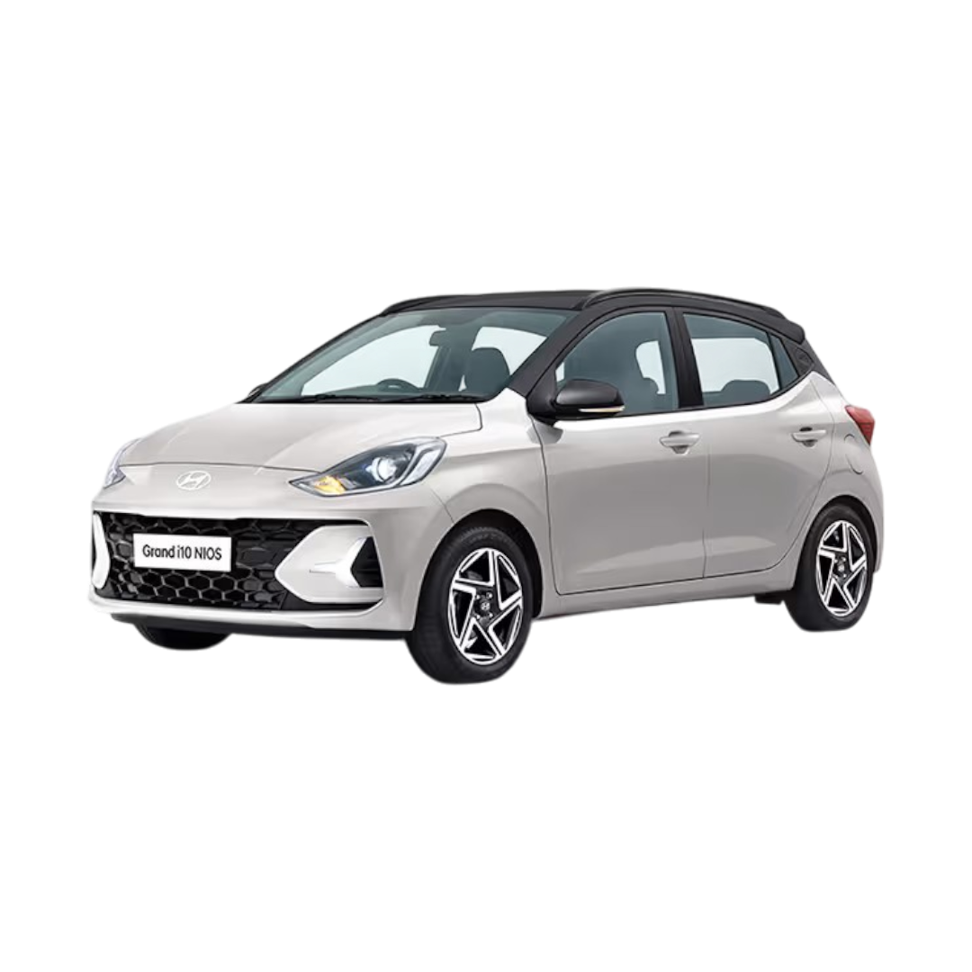 Grand i10 Nios
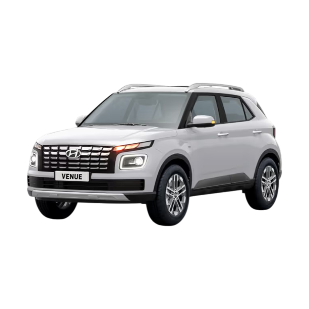 Venue
Venue
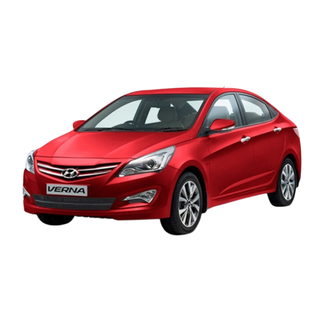
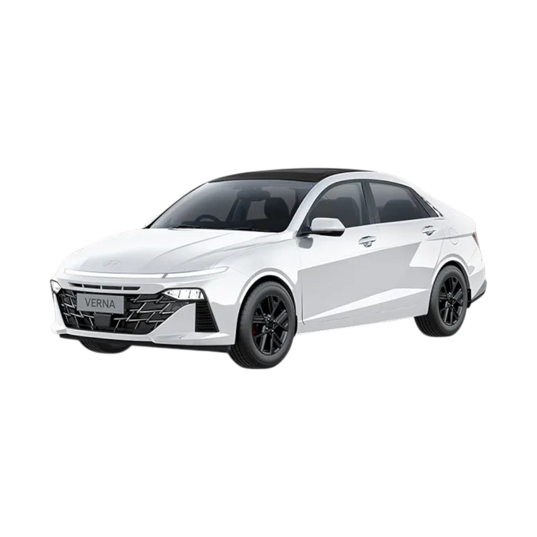 Verna
Verna
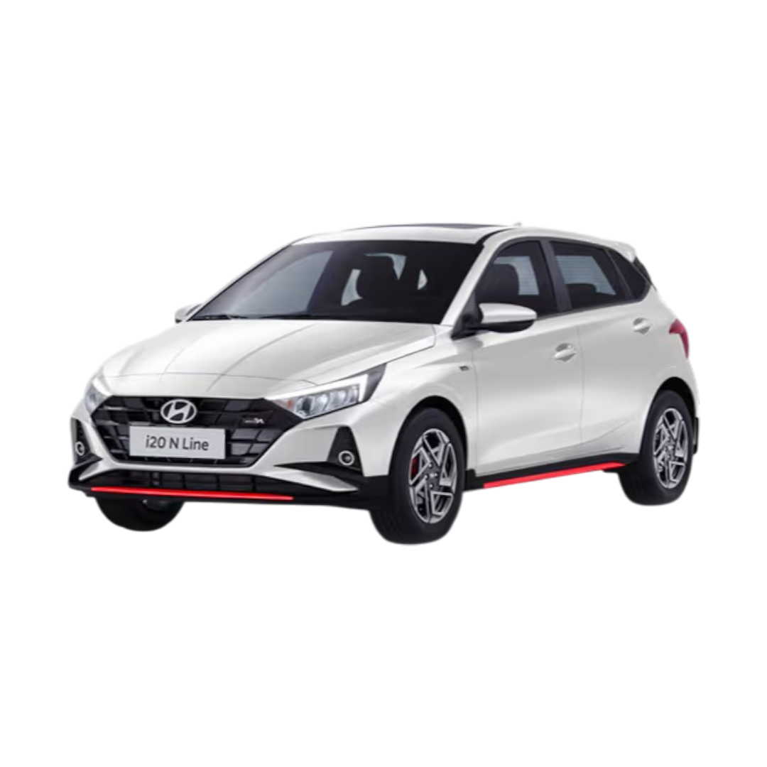 i20 N Line
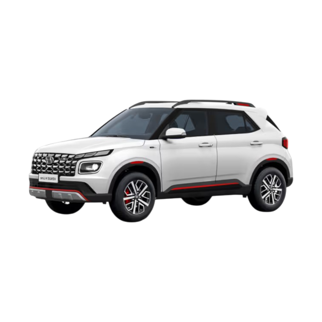 Venue N Line
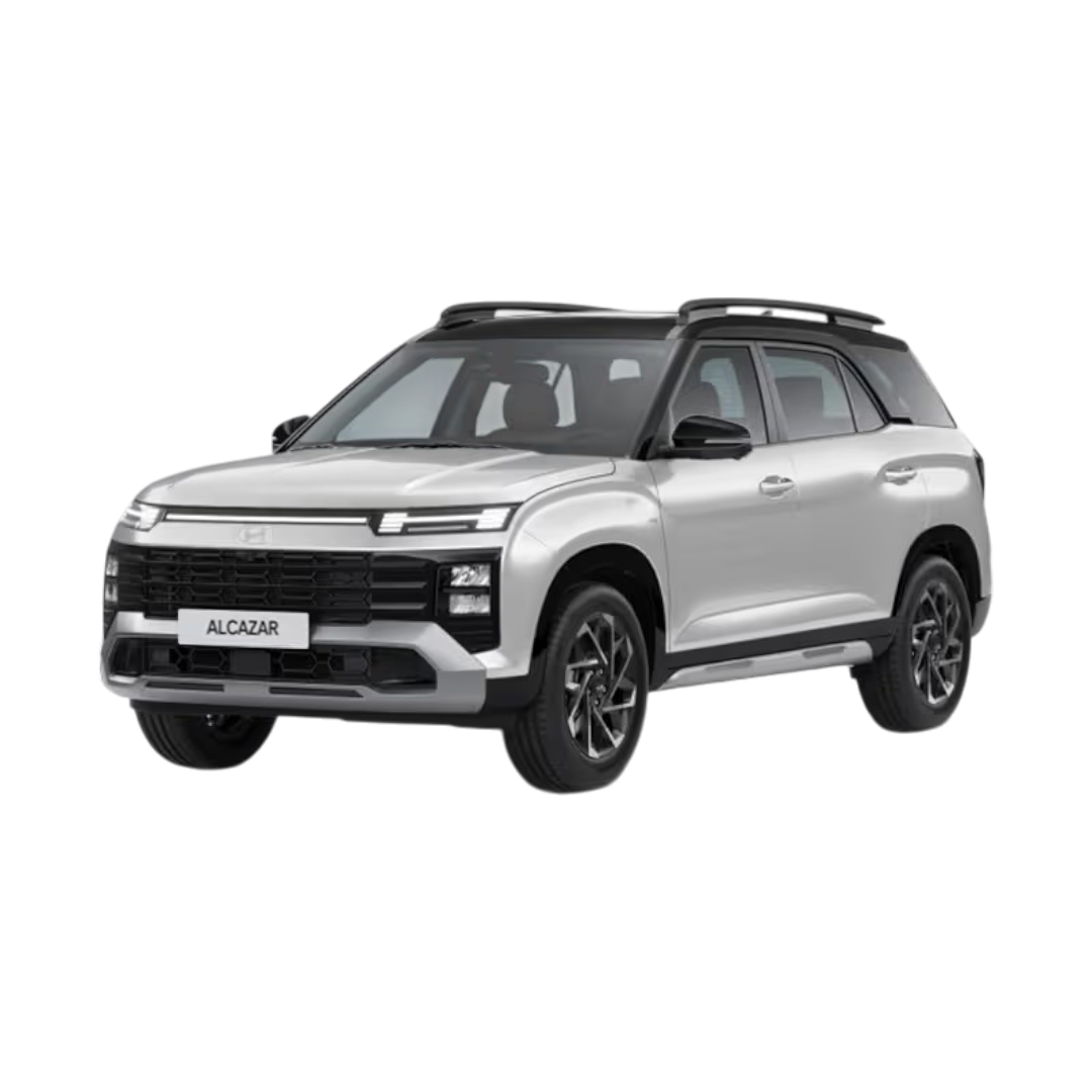 Alcazar
 Tucson
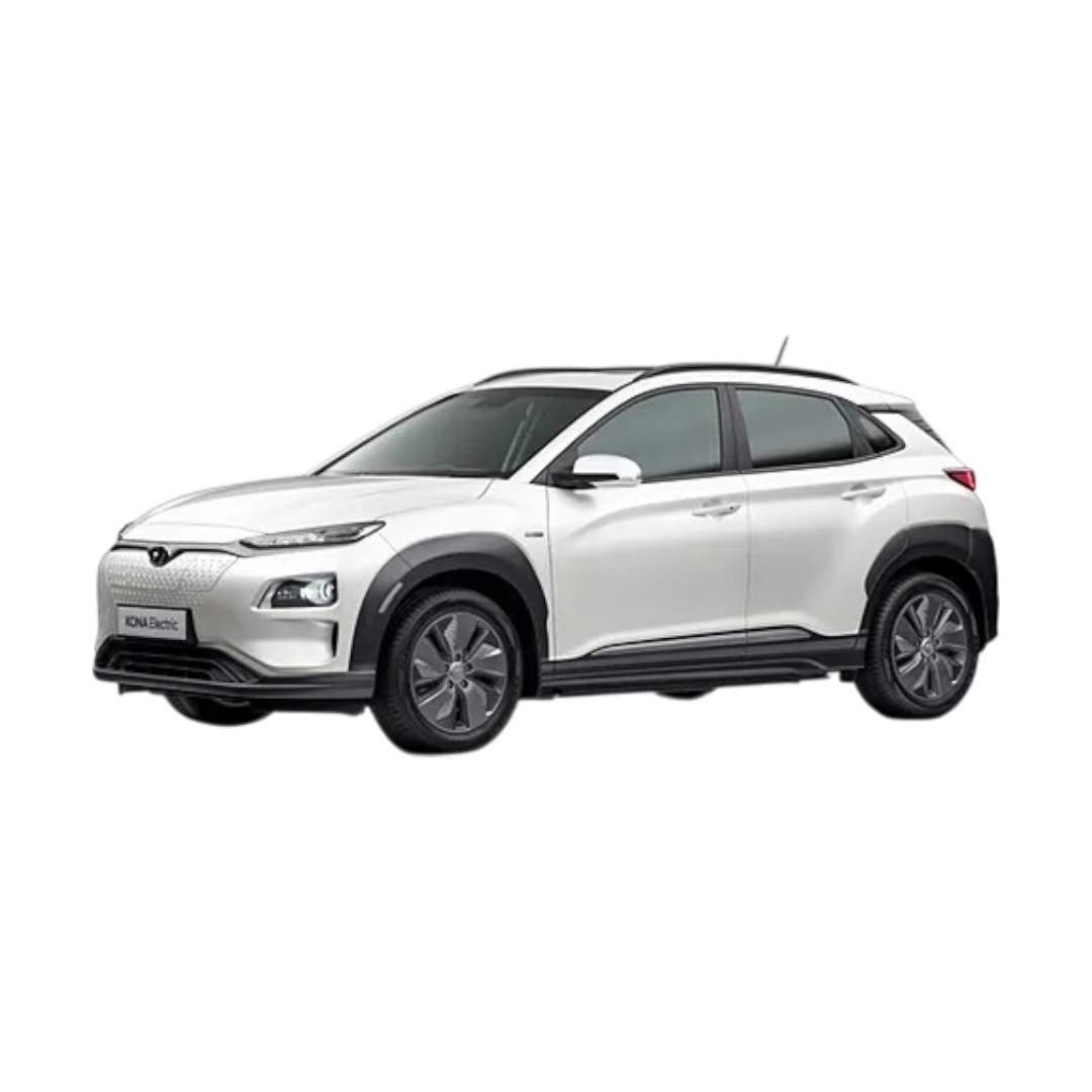 Kona
Kona
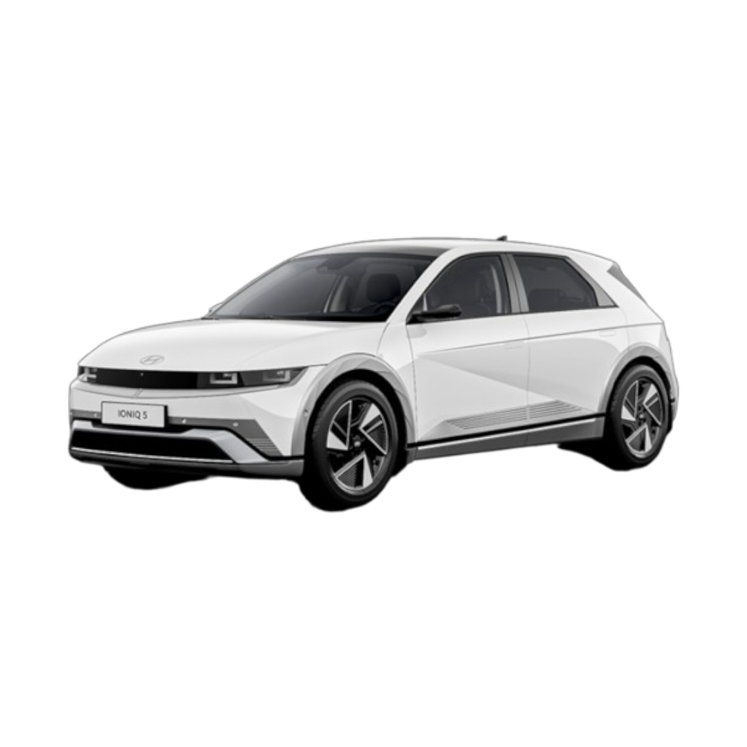 iONIQ 5
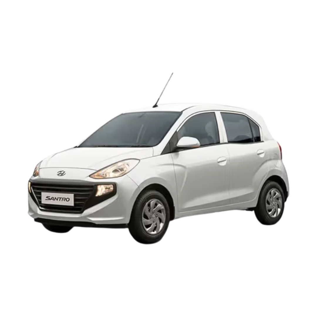 Santro
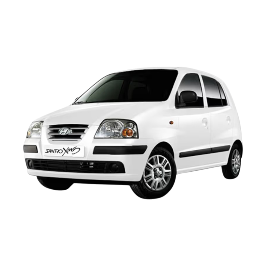 Santro Xing
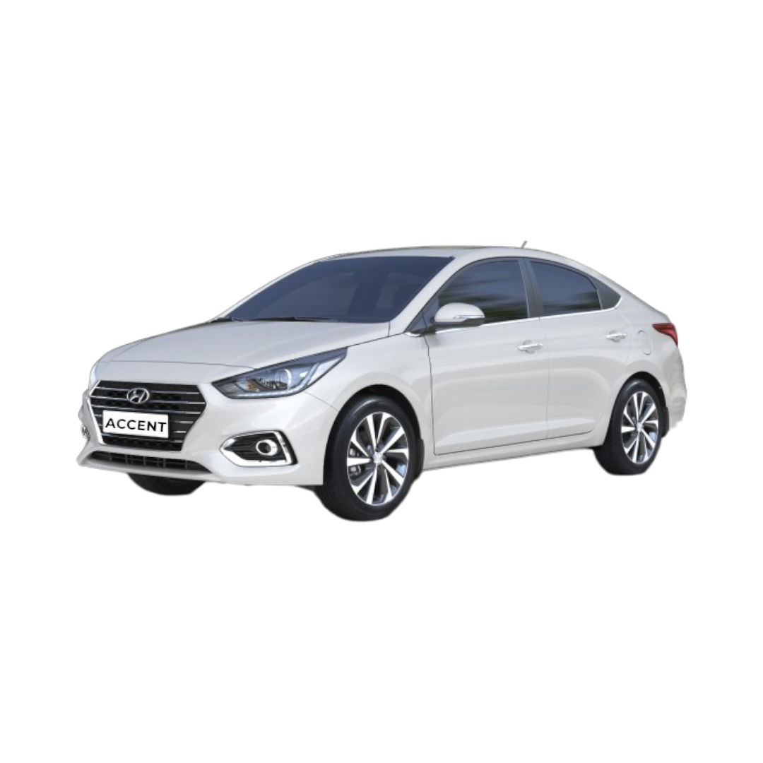 Accent
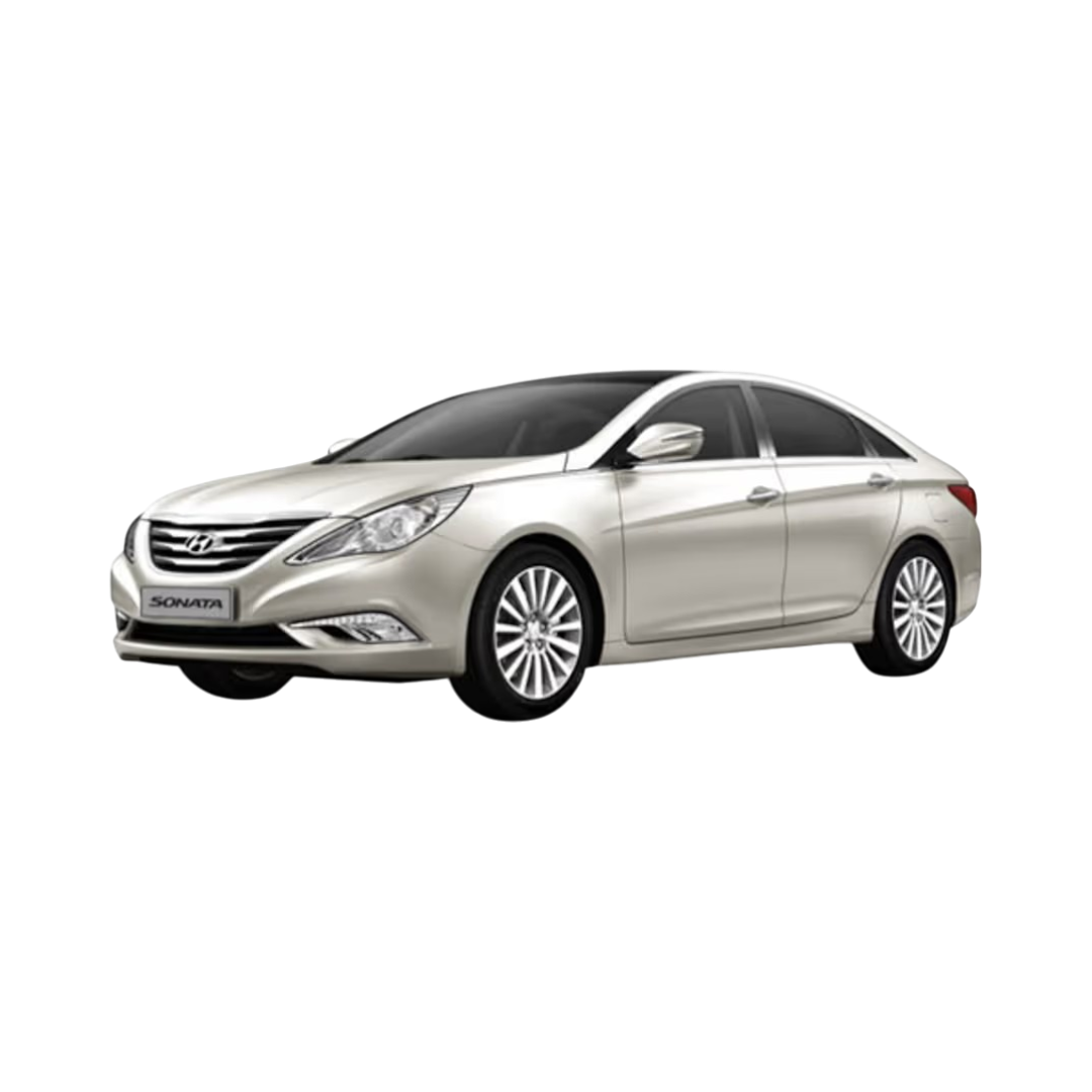 Sonata
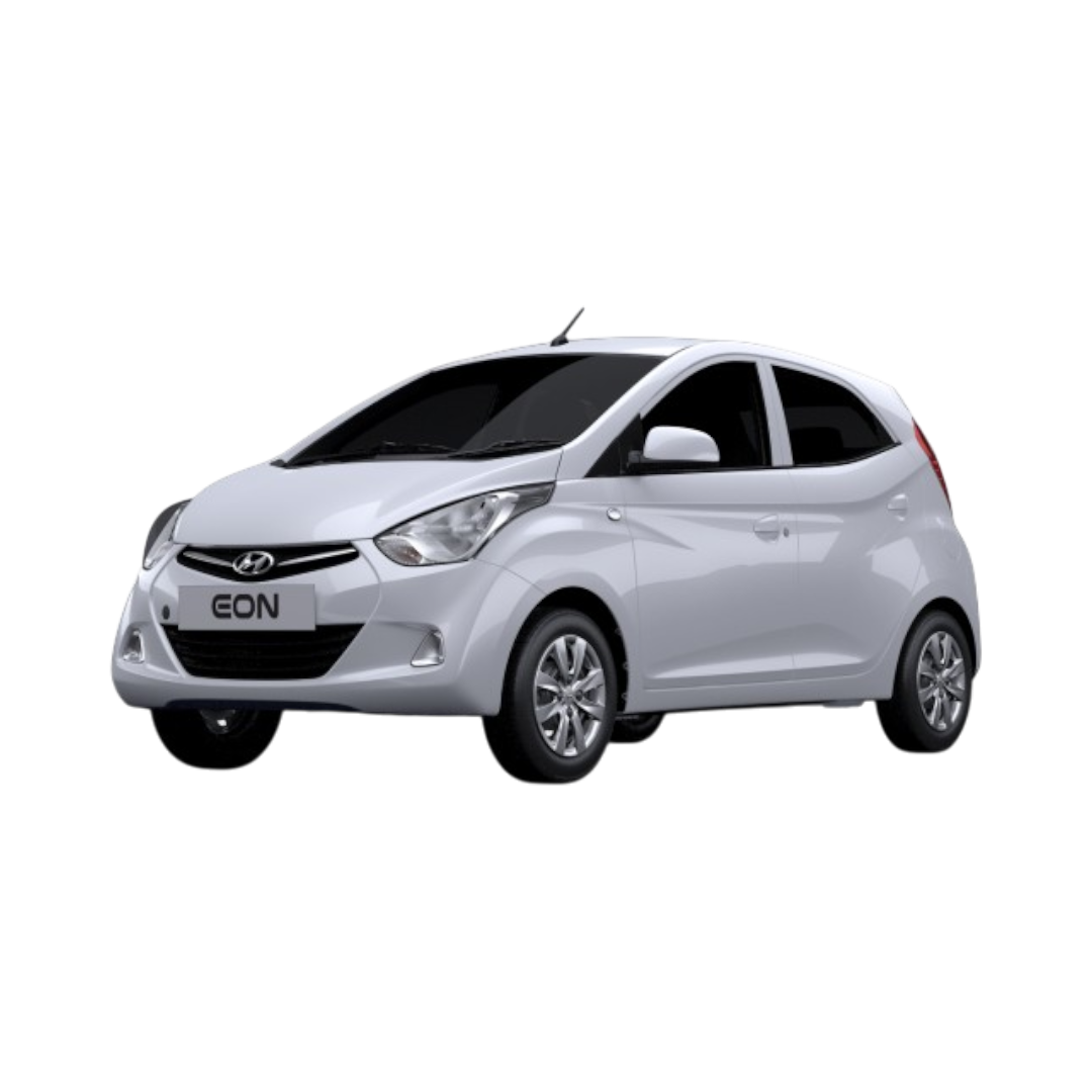 Eon
Eon
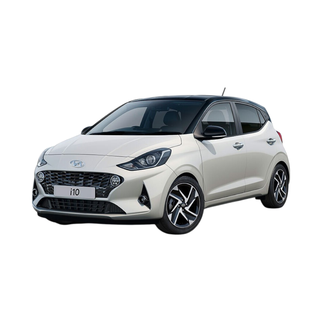 i10
i10
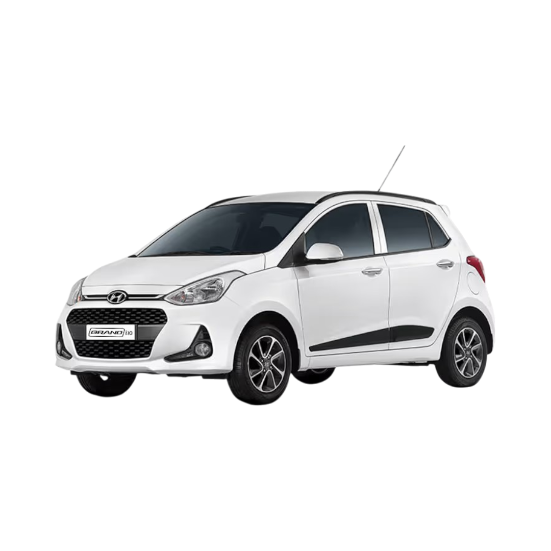 Grand i10
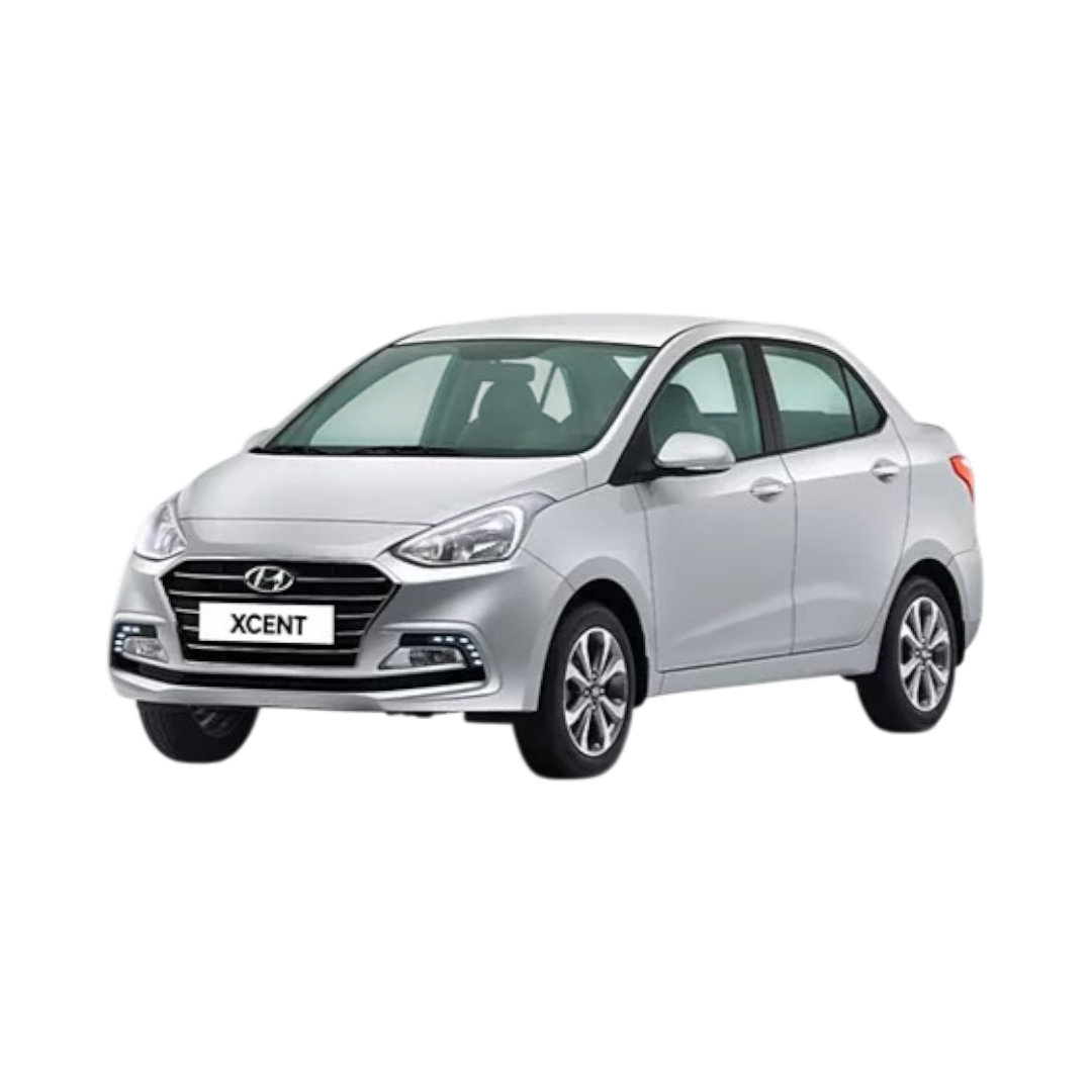 Xcent
Xcent
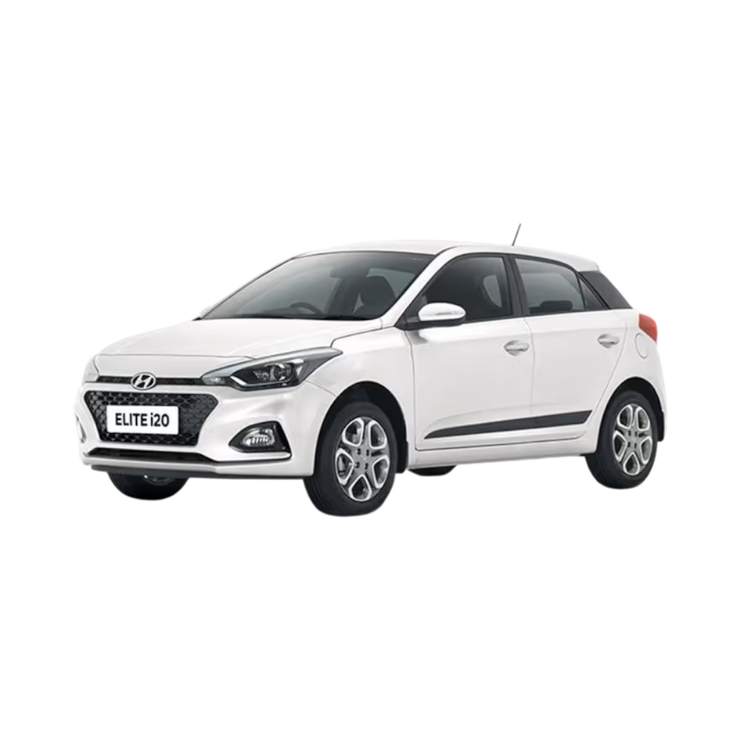 Elite i20
 Verna Fluidic
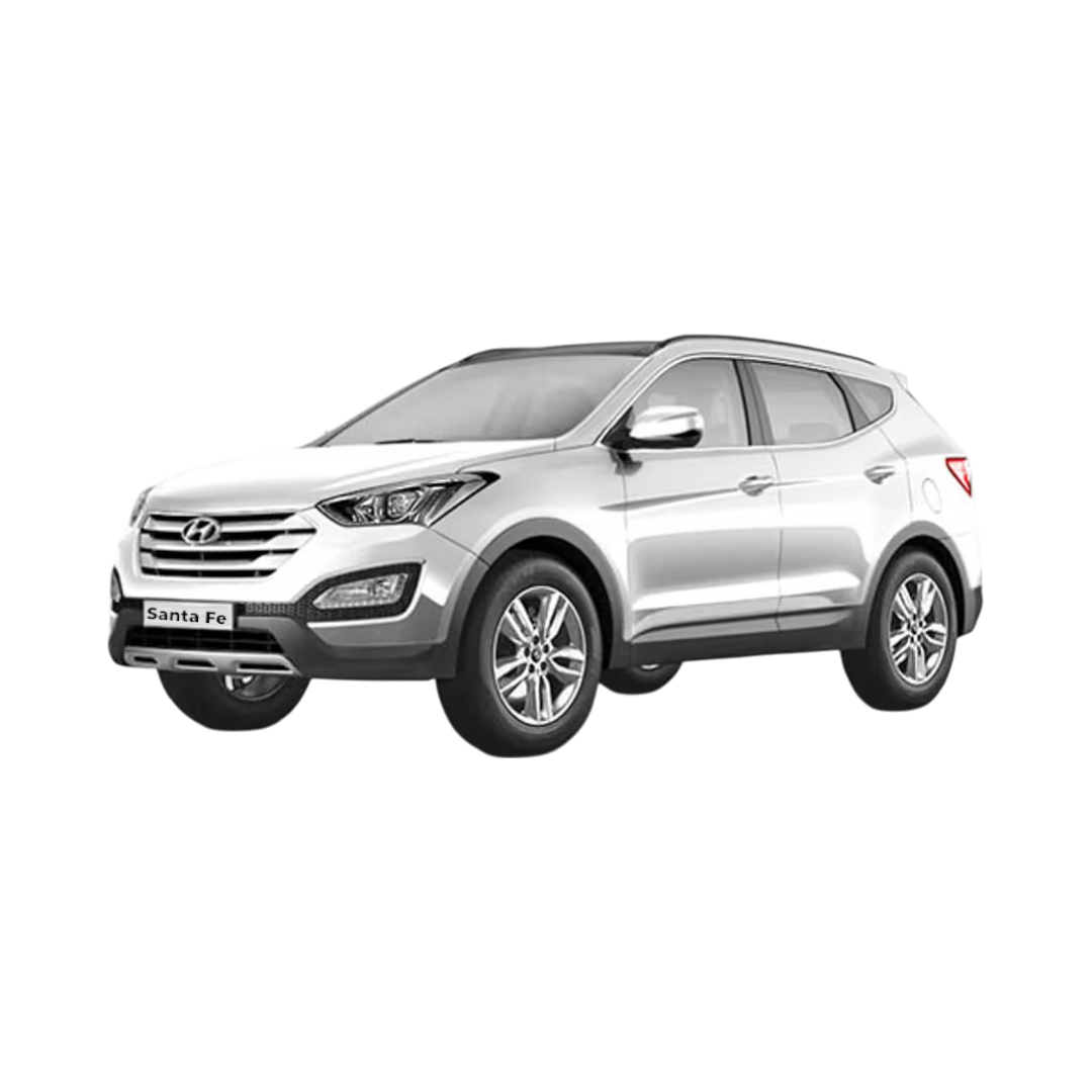 Santafe
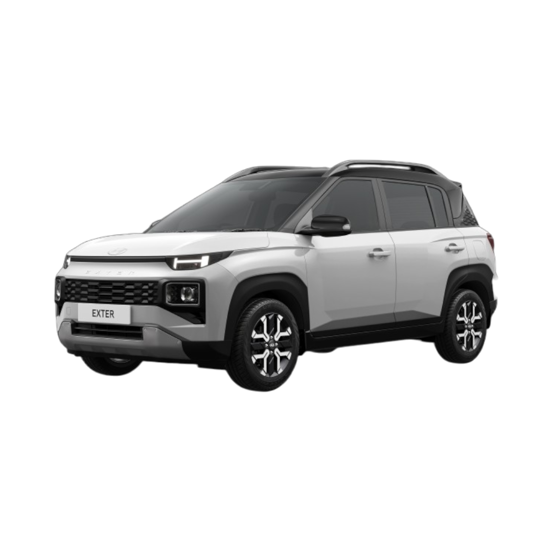 Exter
Sonata Fluidic
Exter
Sonata Fluidic
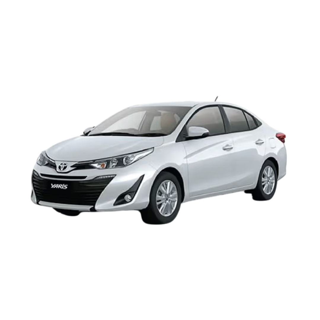 Yaris
Yaris
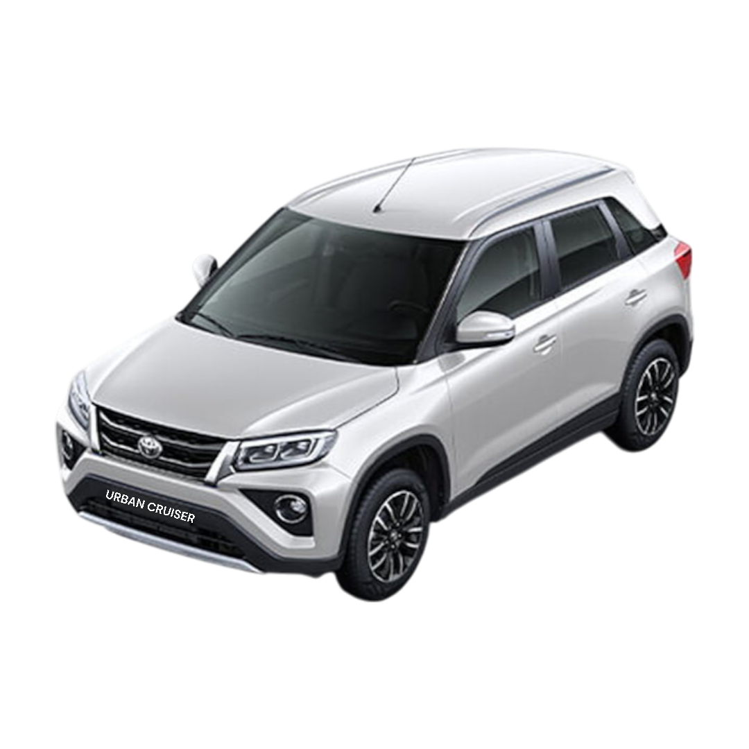 Urban Cruiser
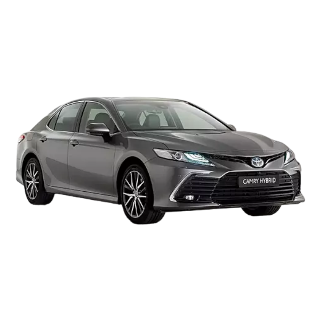 Camry
Camry
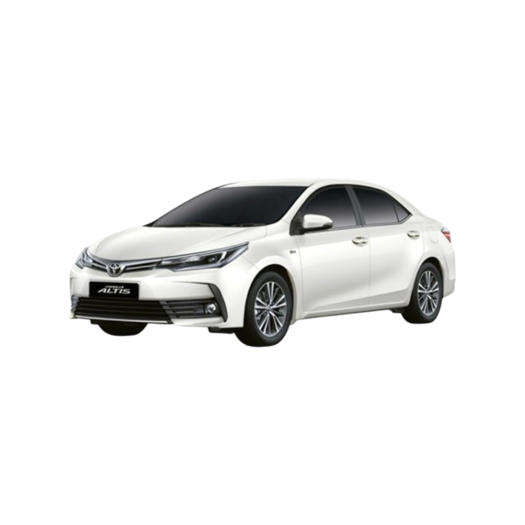 Corolla
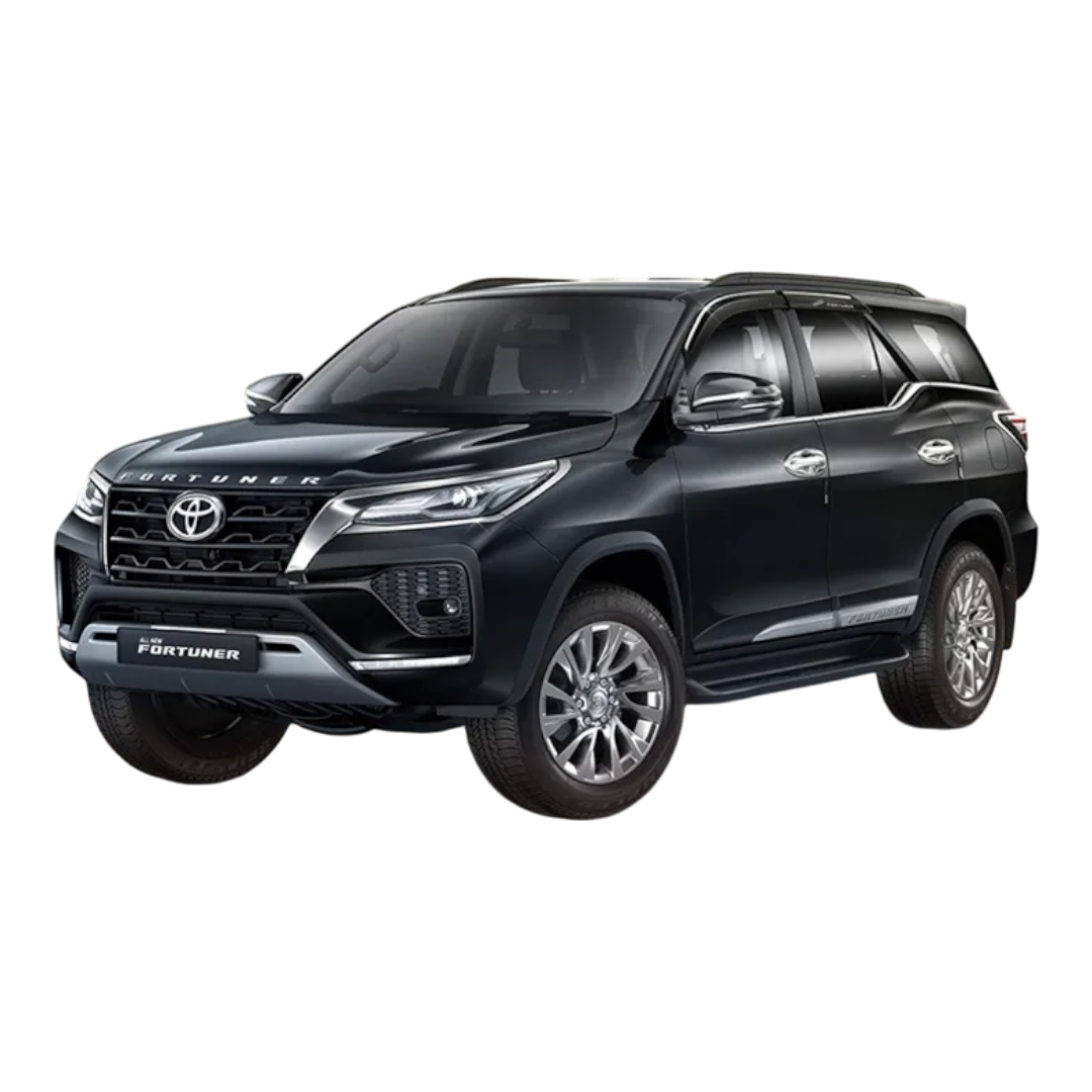 Fortuner
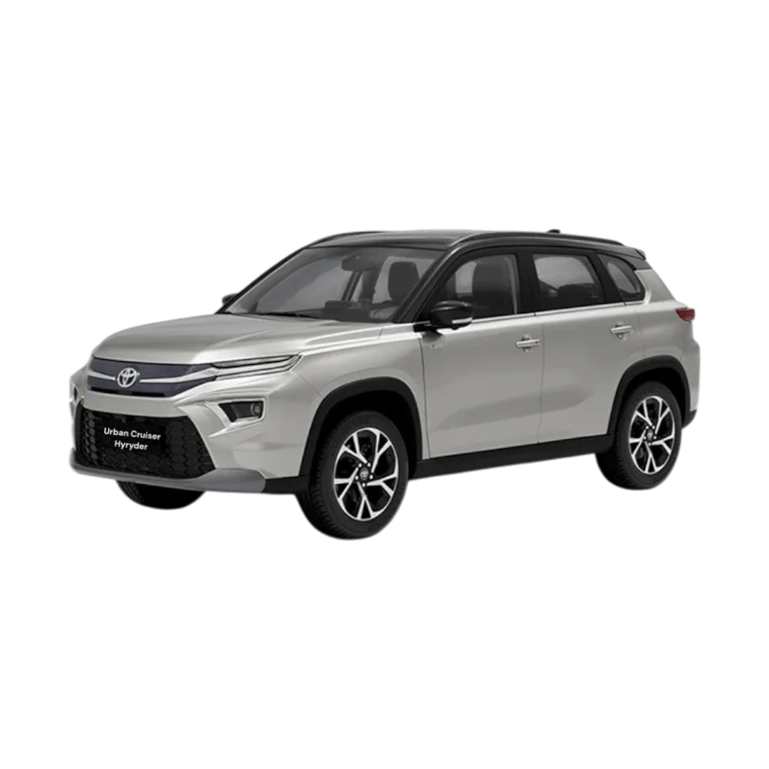 Urban Cruiser Hyryder
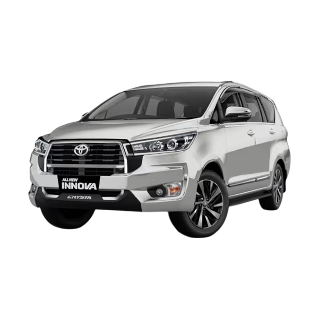 Innova Crysta
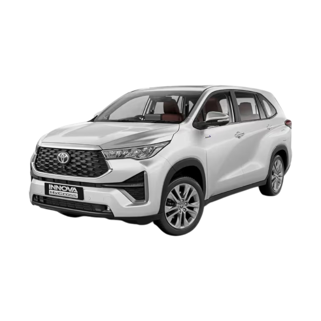 Innova Hycross
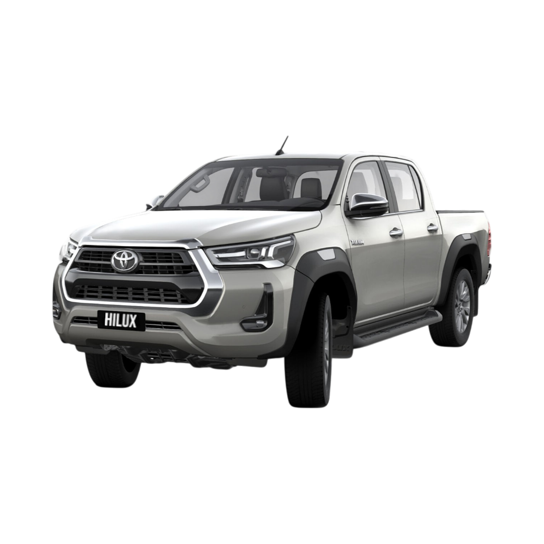 Hilux
Hilux
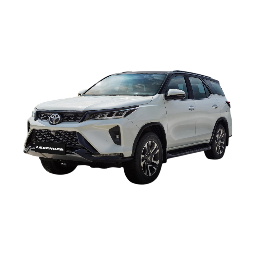 Fortuner Legender
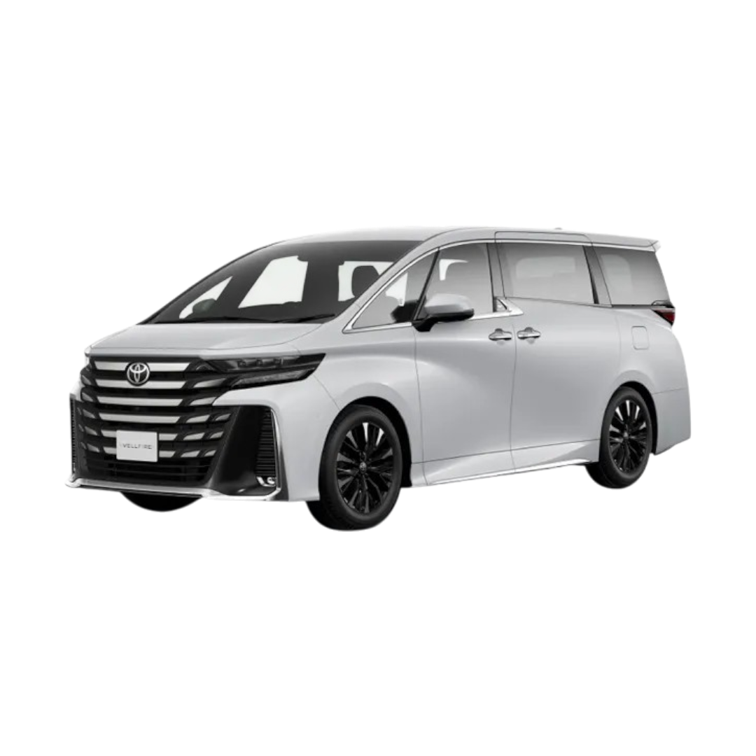 Vellfire
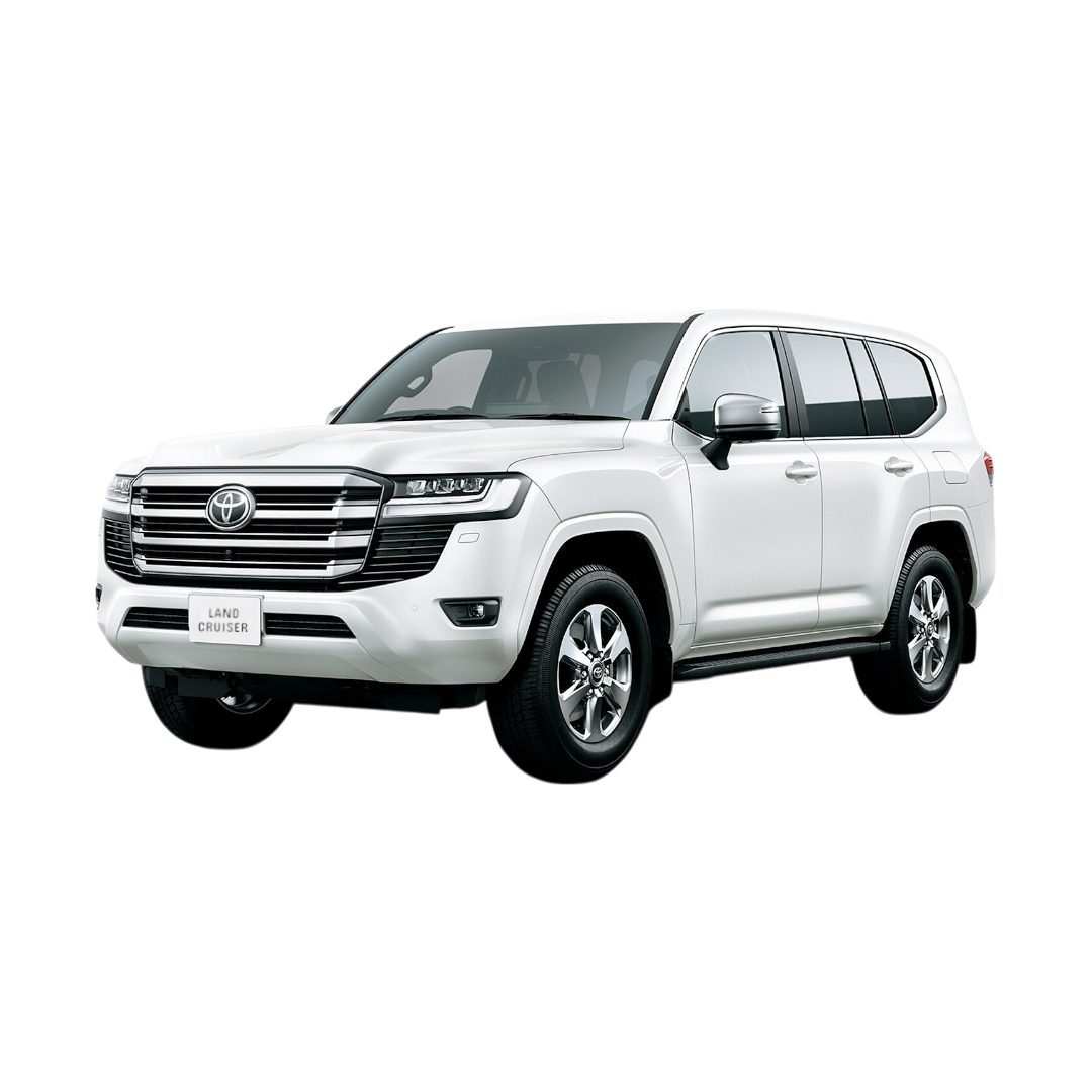 Land Cruiser
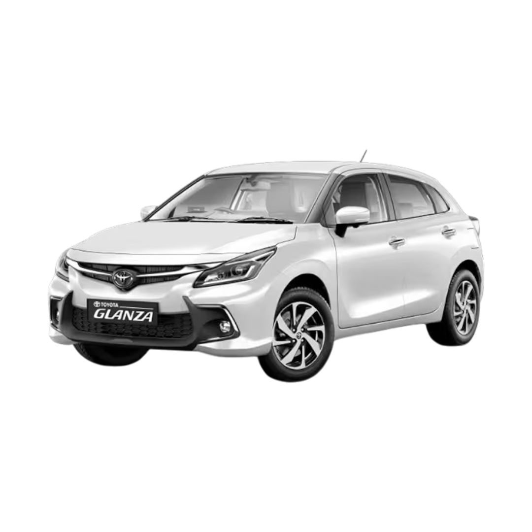 Glanza
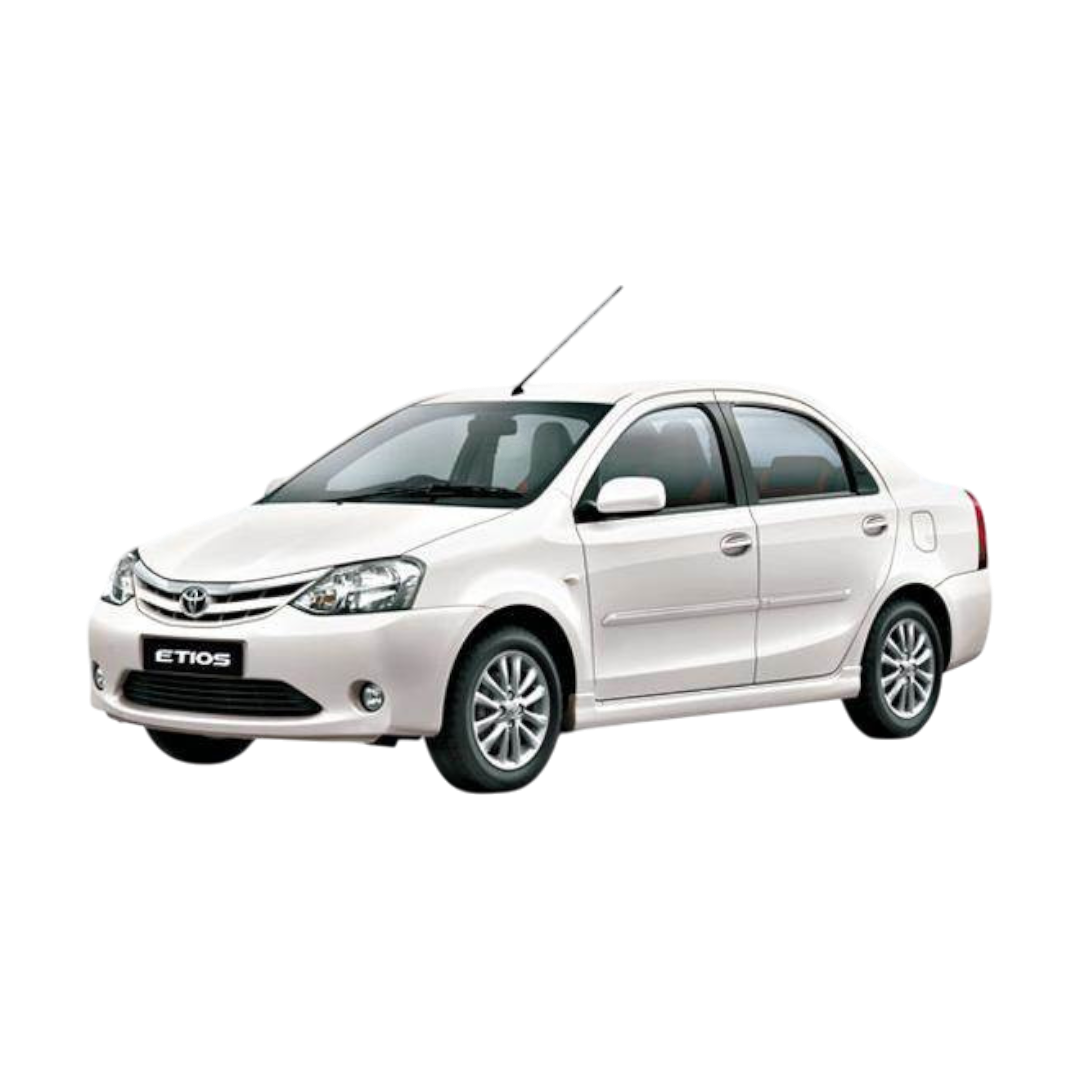 Etios
Etios
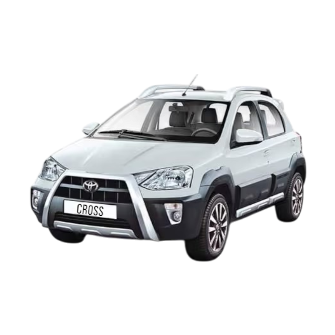 Etios cross
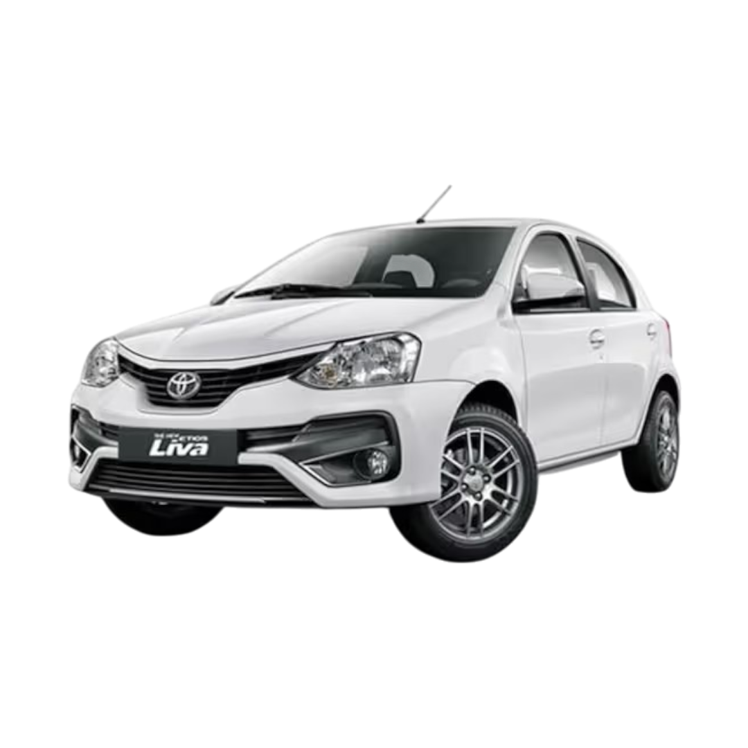 Etios Liva
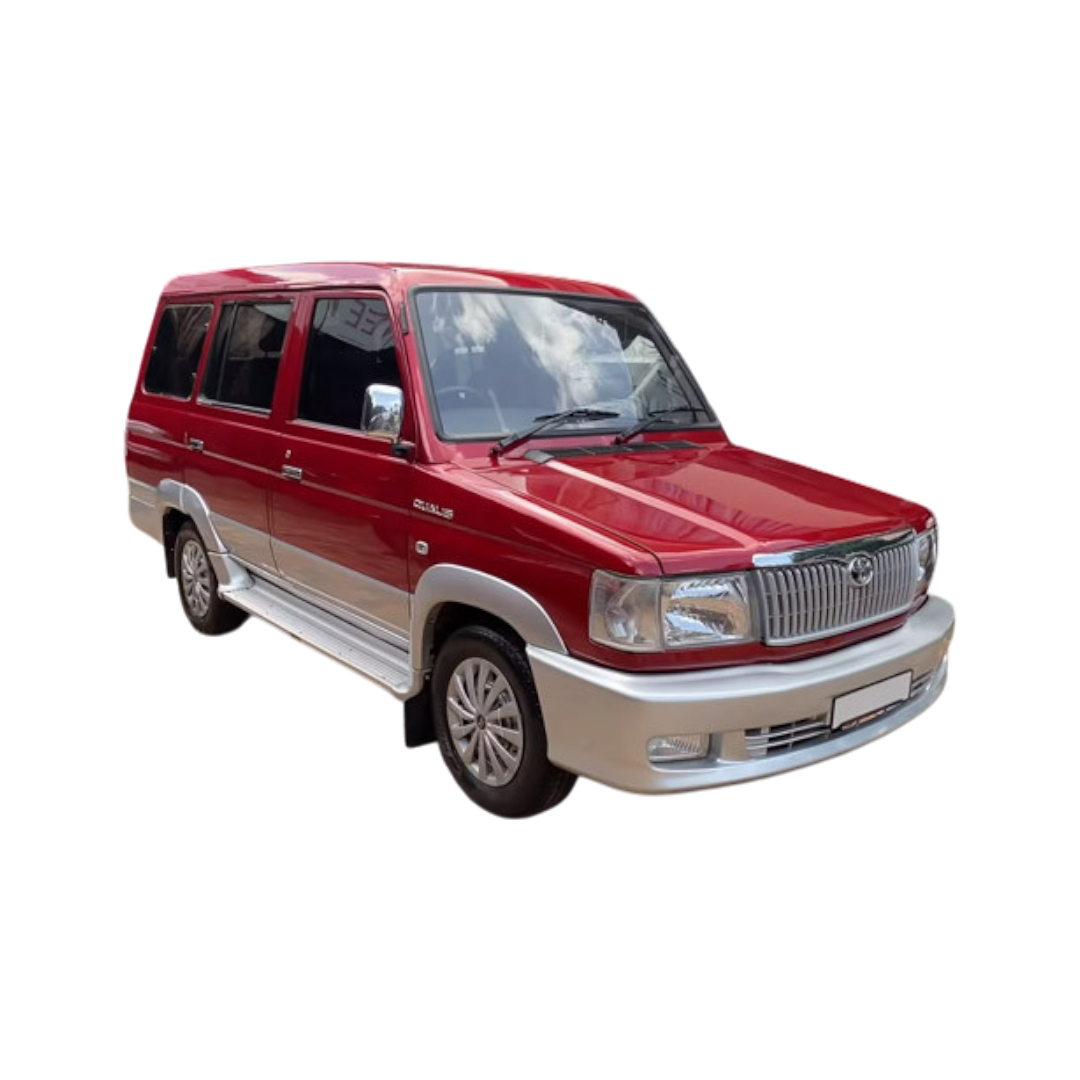 Qualis
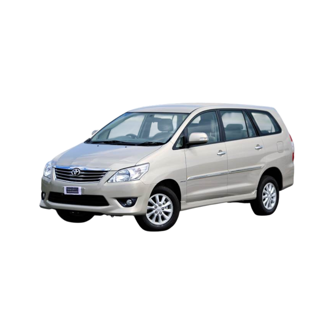 Innova
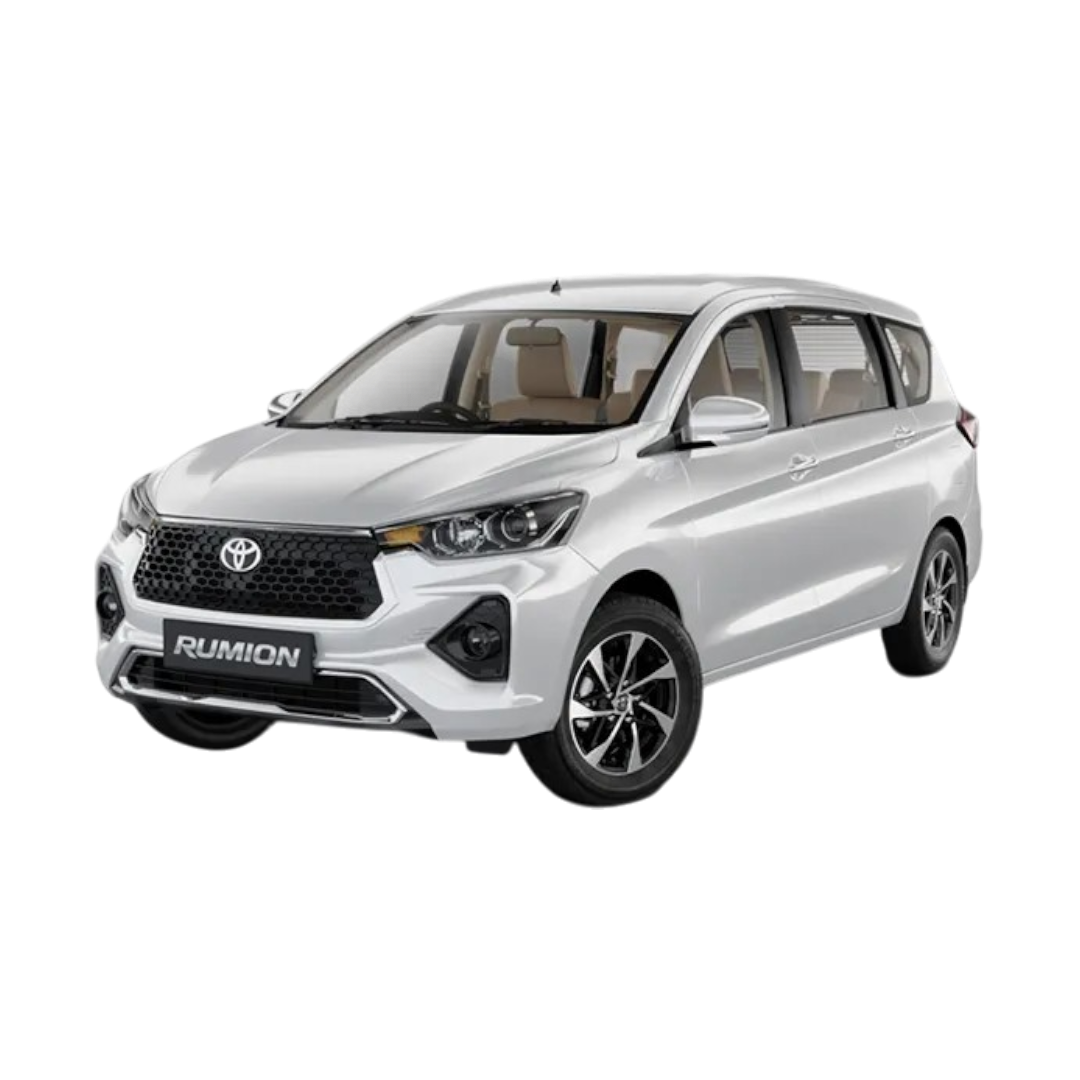 Rumion
Taisor
Corolla Altis
Hyryder
Rumion
Taisor
Corolla Altis
Hyryder
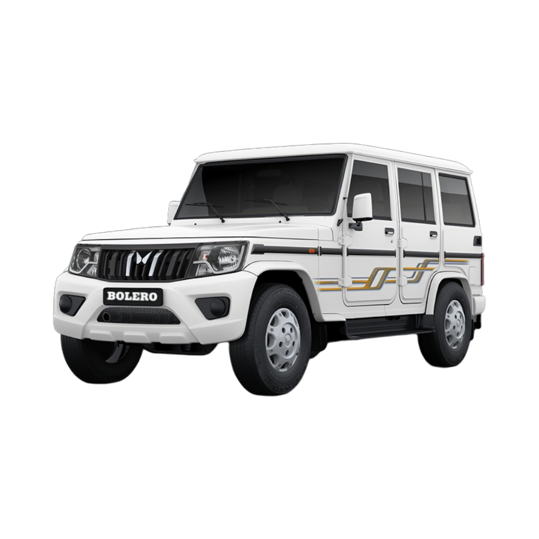 Bolero
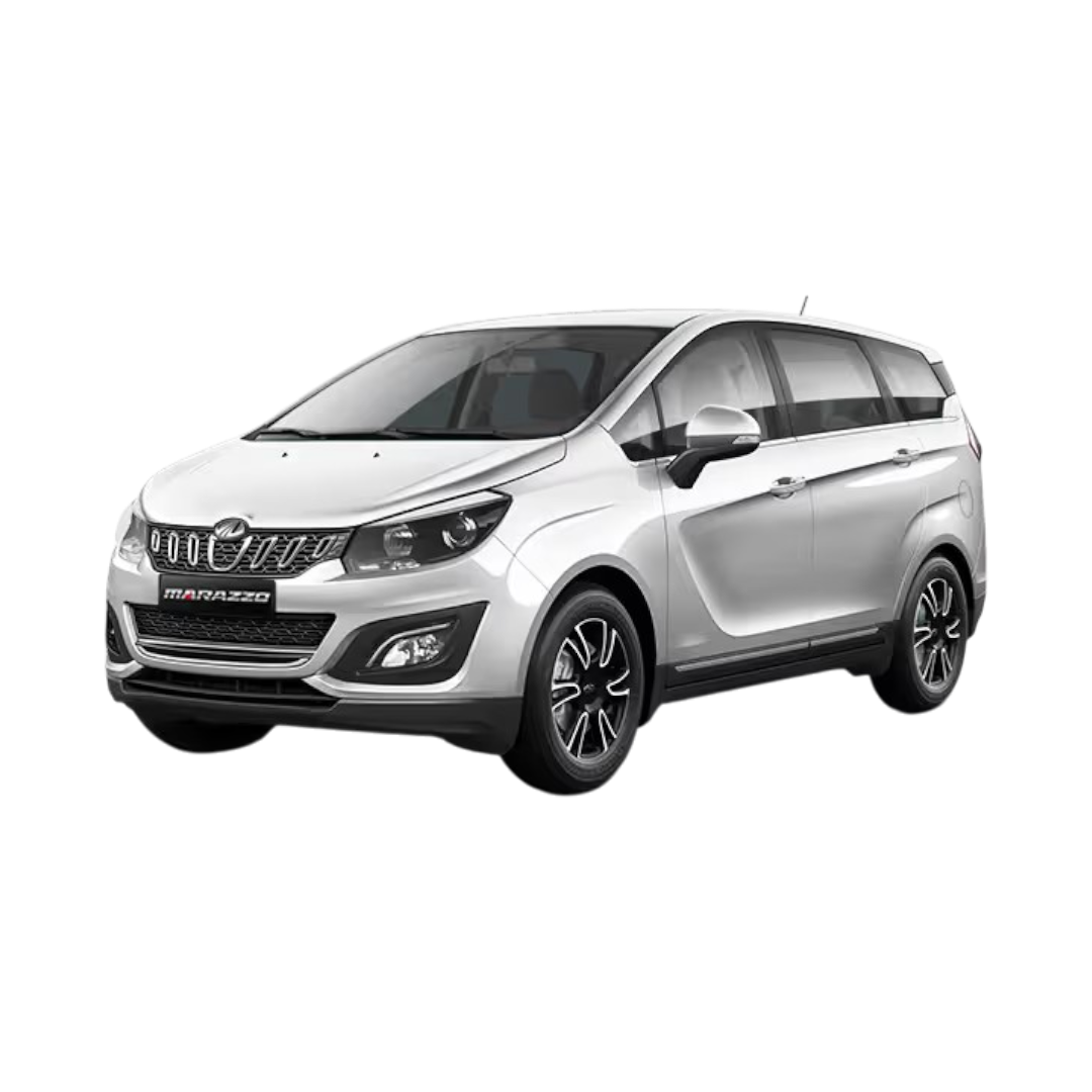 Marazzo
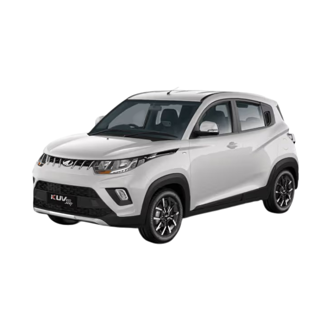 KUV100 NXT
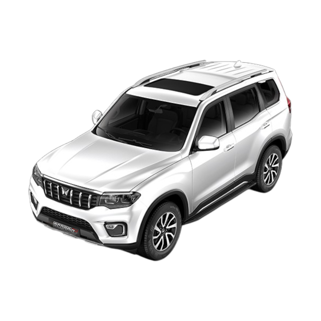
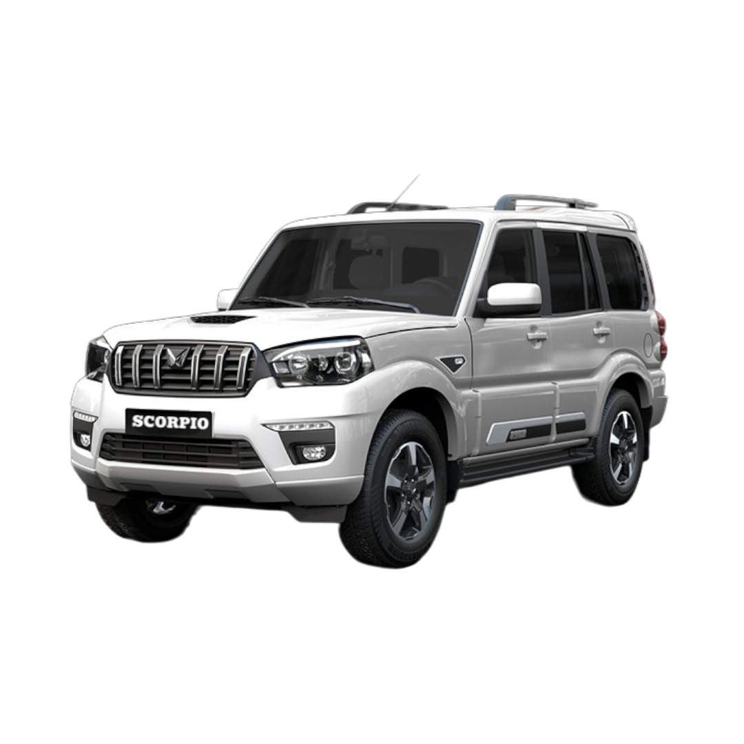 Scorpio
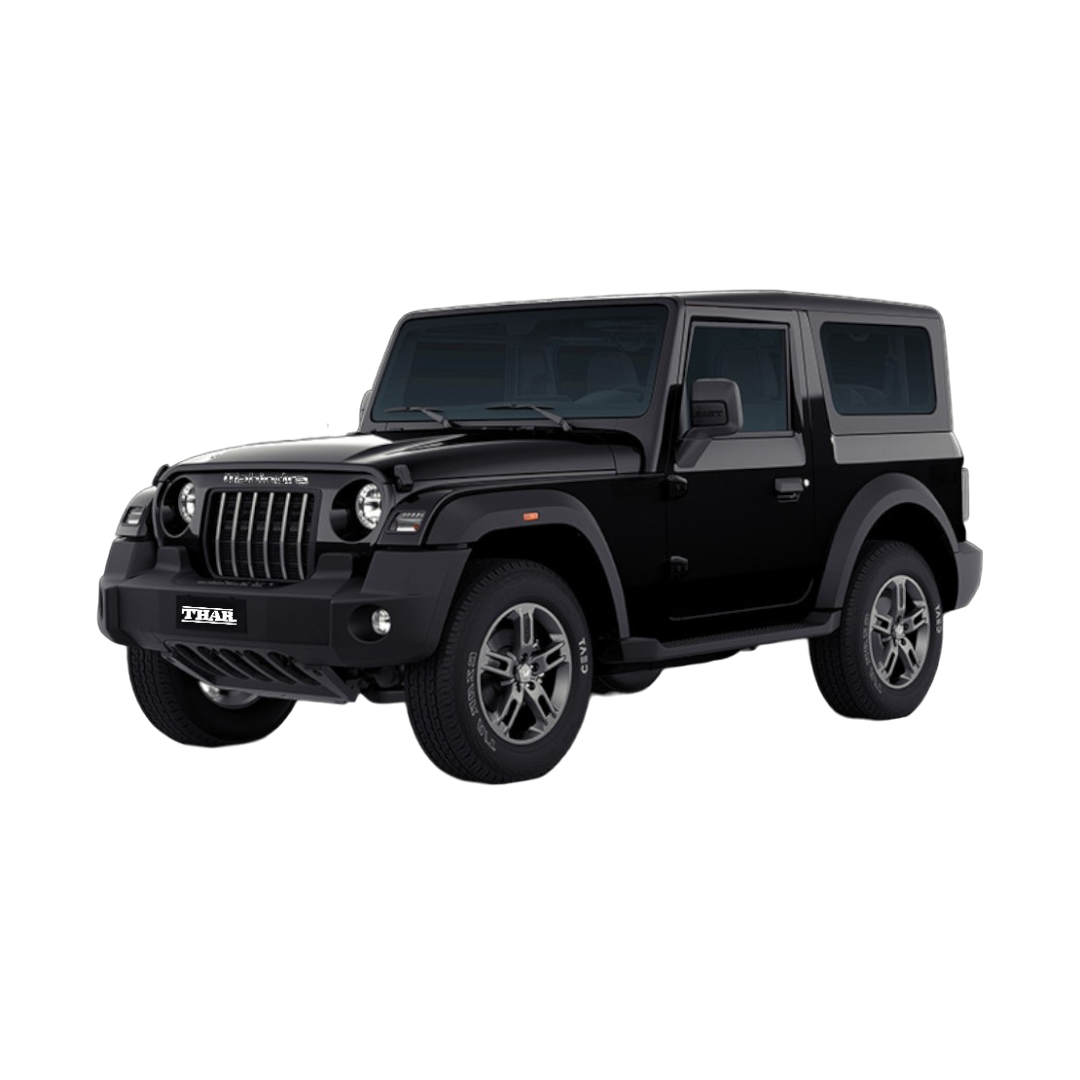 Thar
Thar
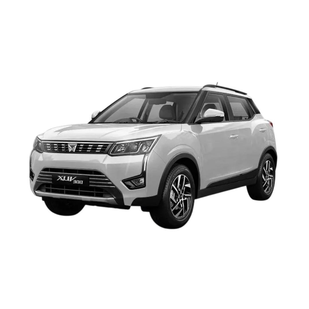 XUV 300
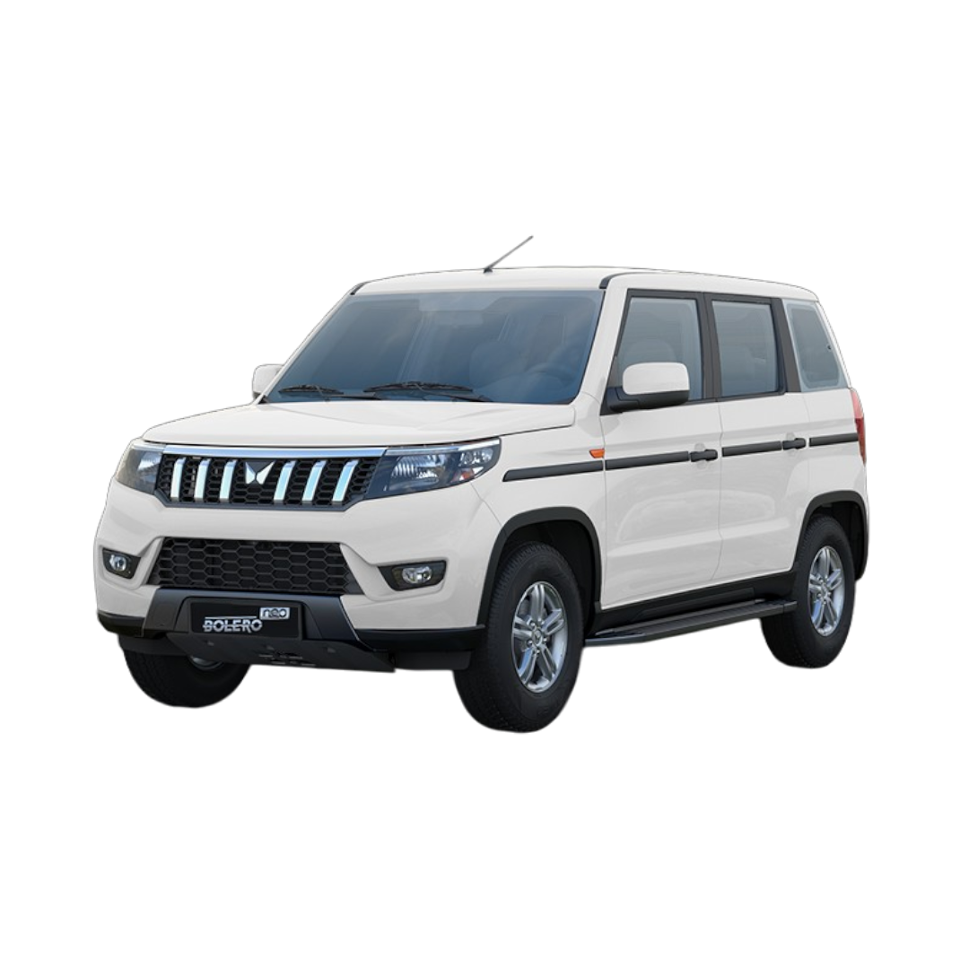 Bolero Neo
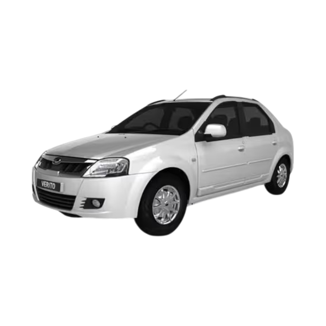 Verito
 Scorpio-N
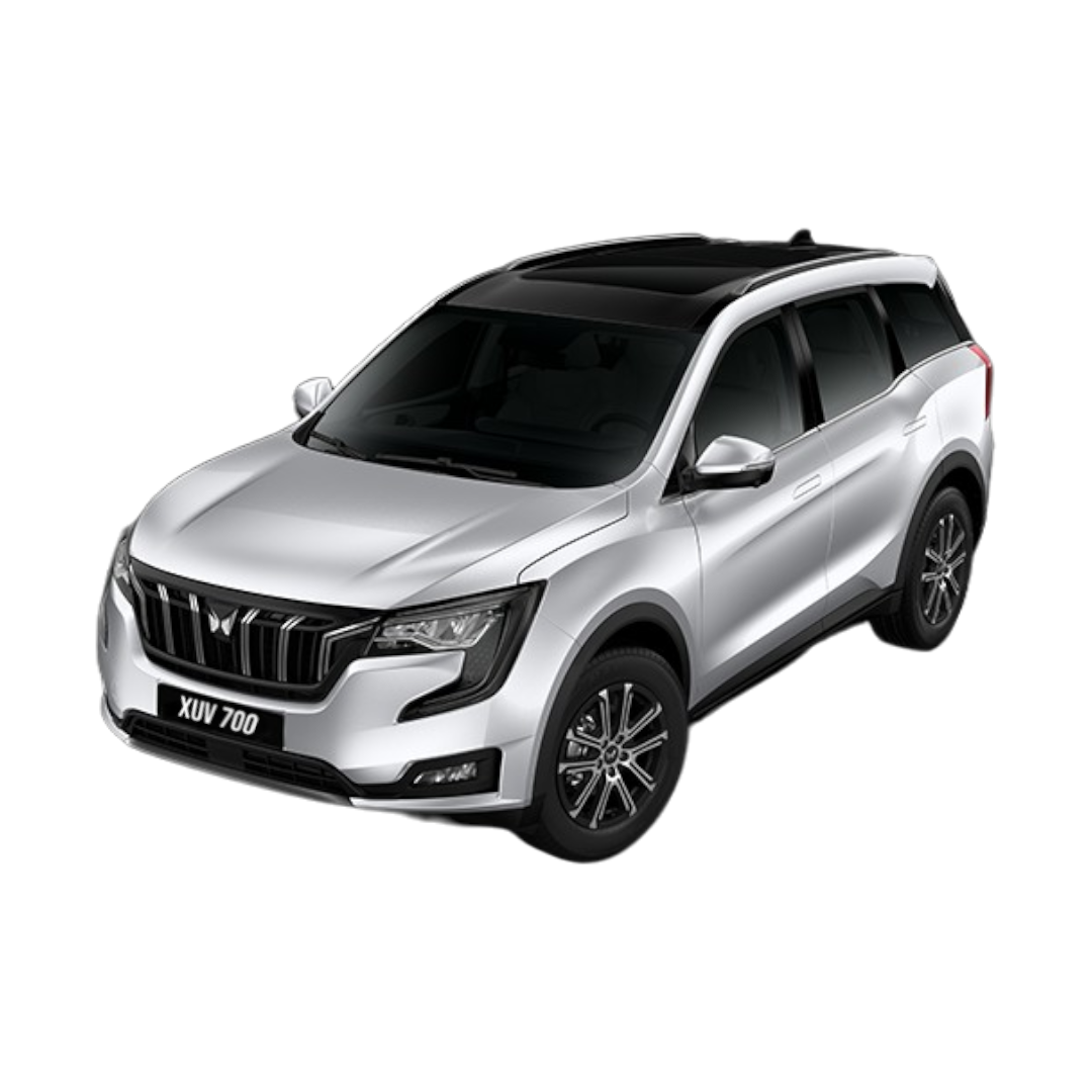 XUV 700
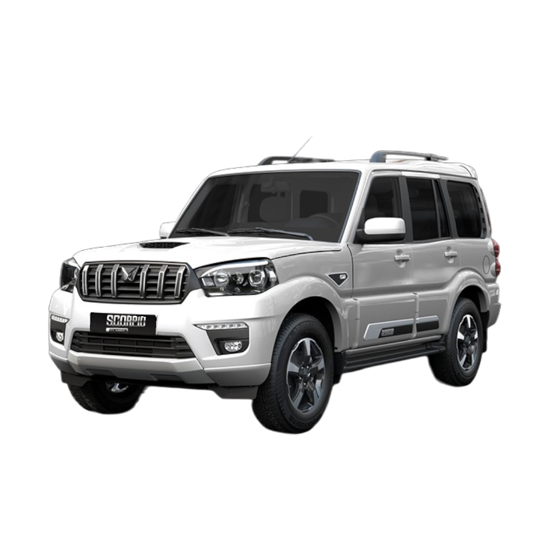 Scorpio Classic
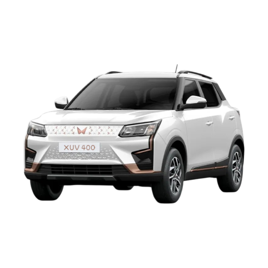 XUV400
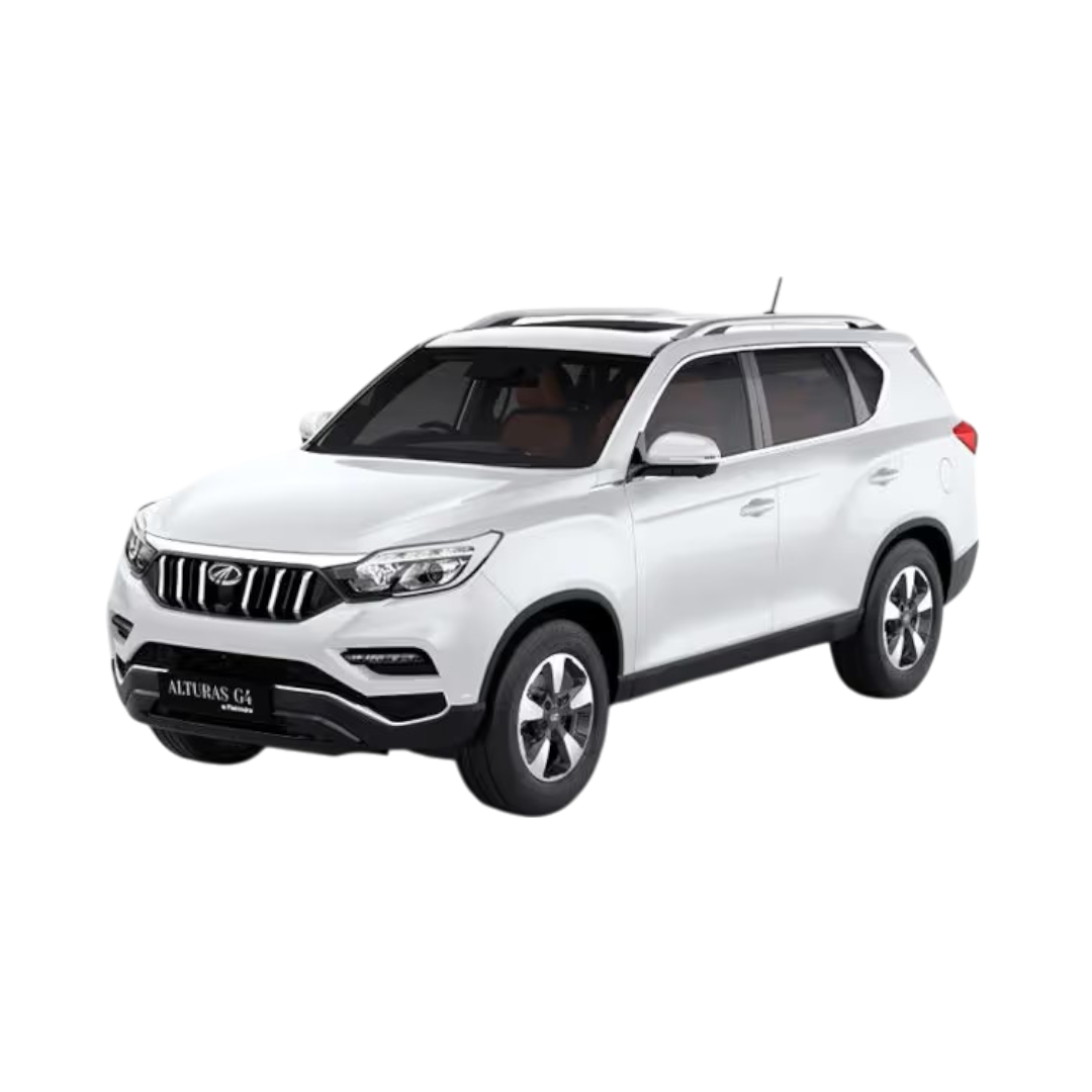 Alturas
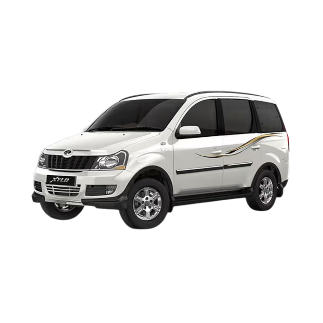 Xylo
Xylo
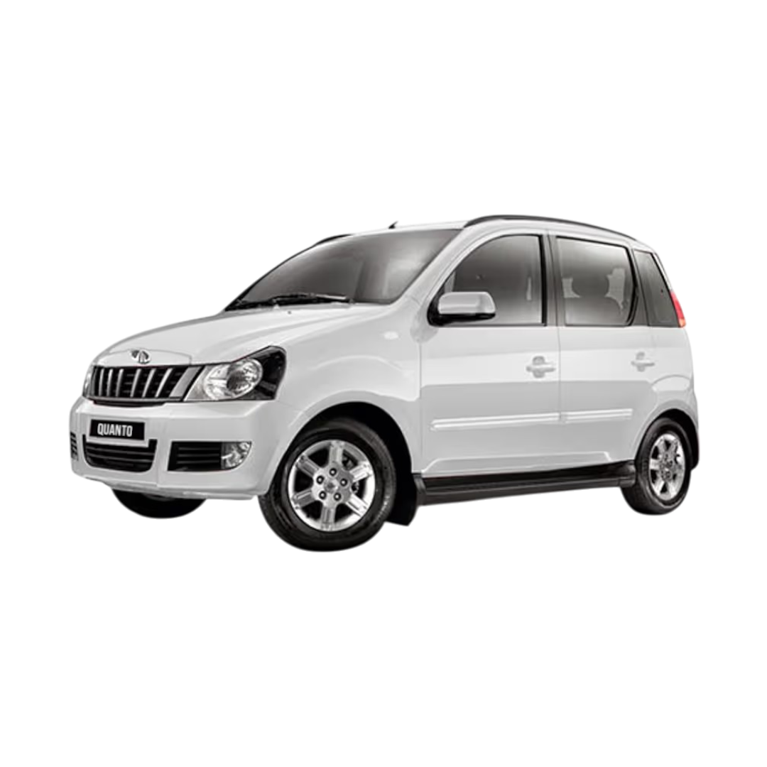 Quanto
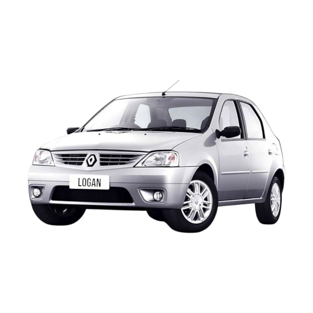 Logan
Logan
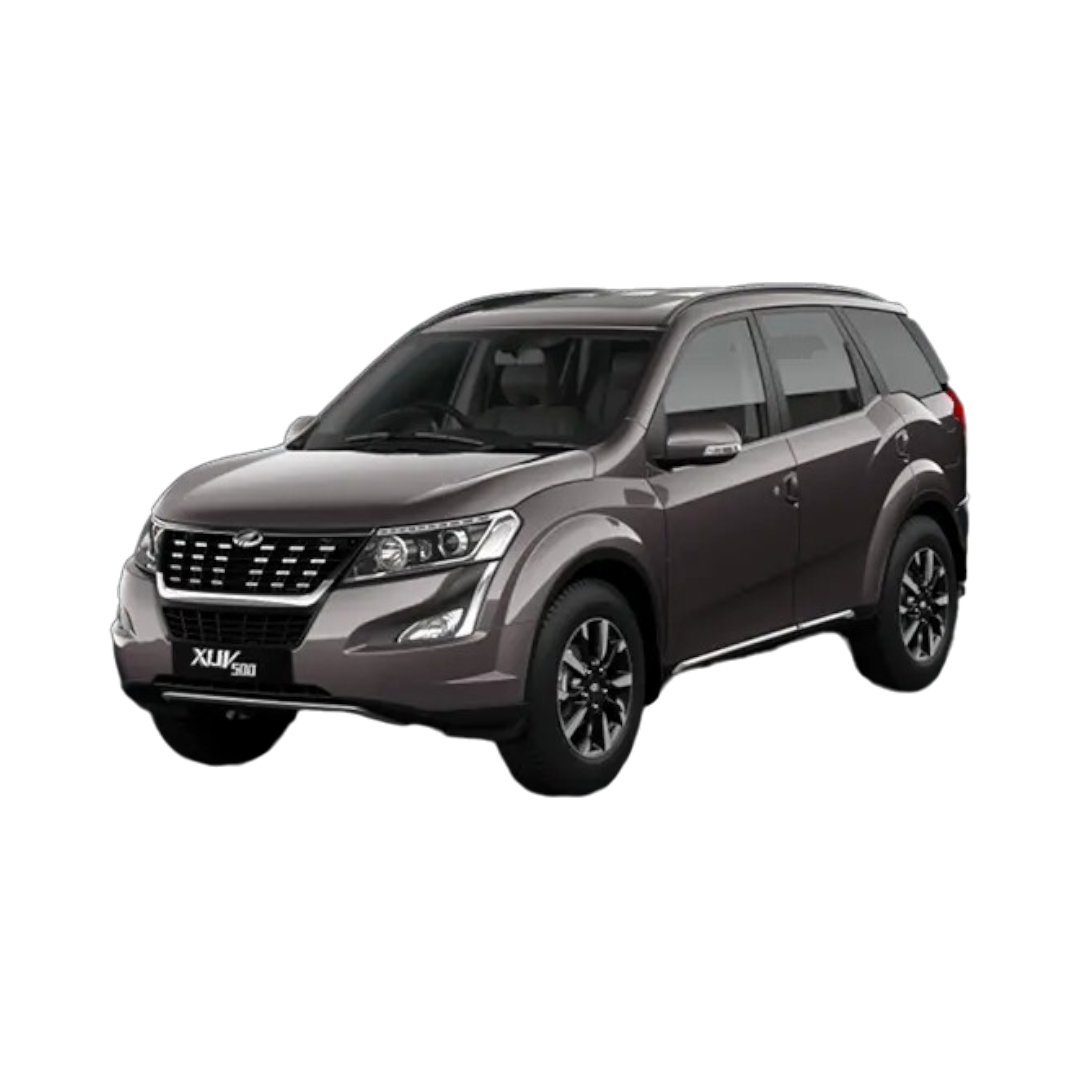 XUV 500
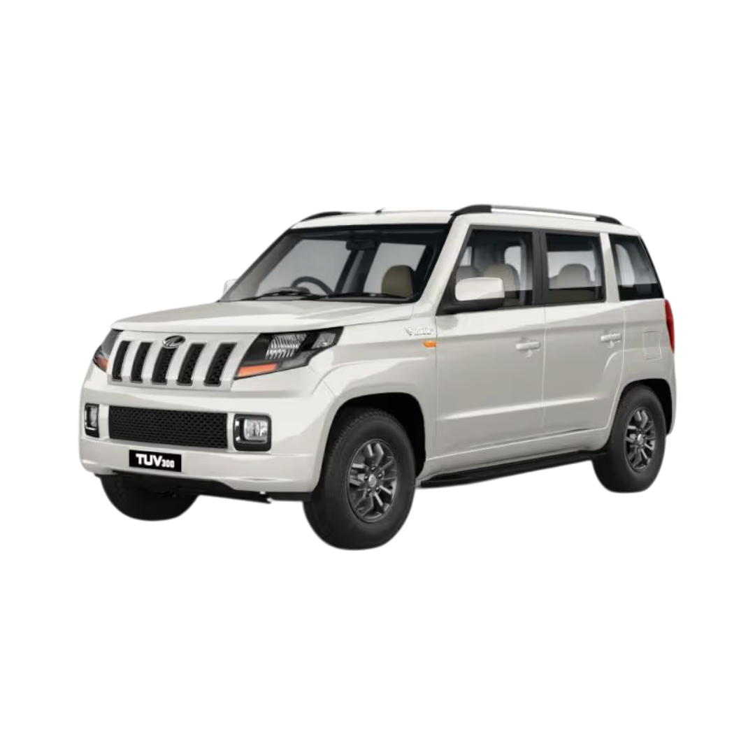 TUV 300
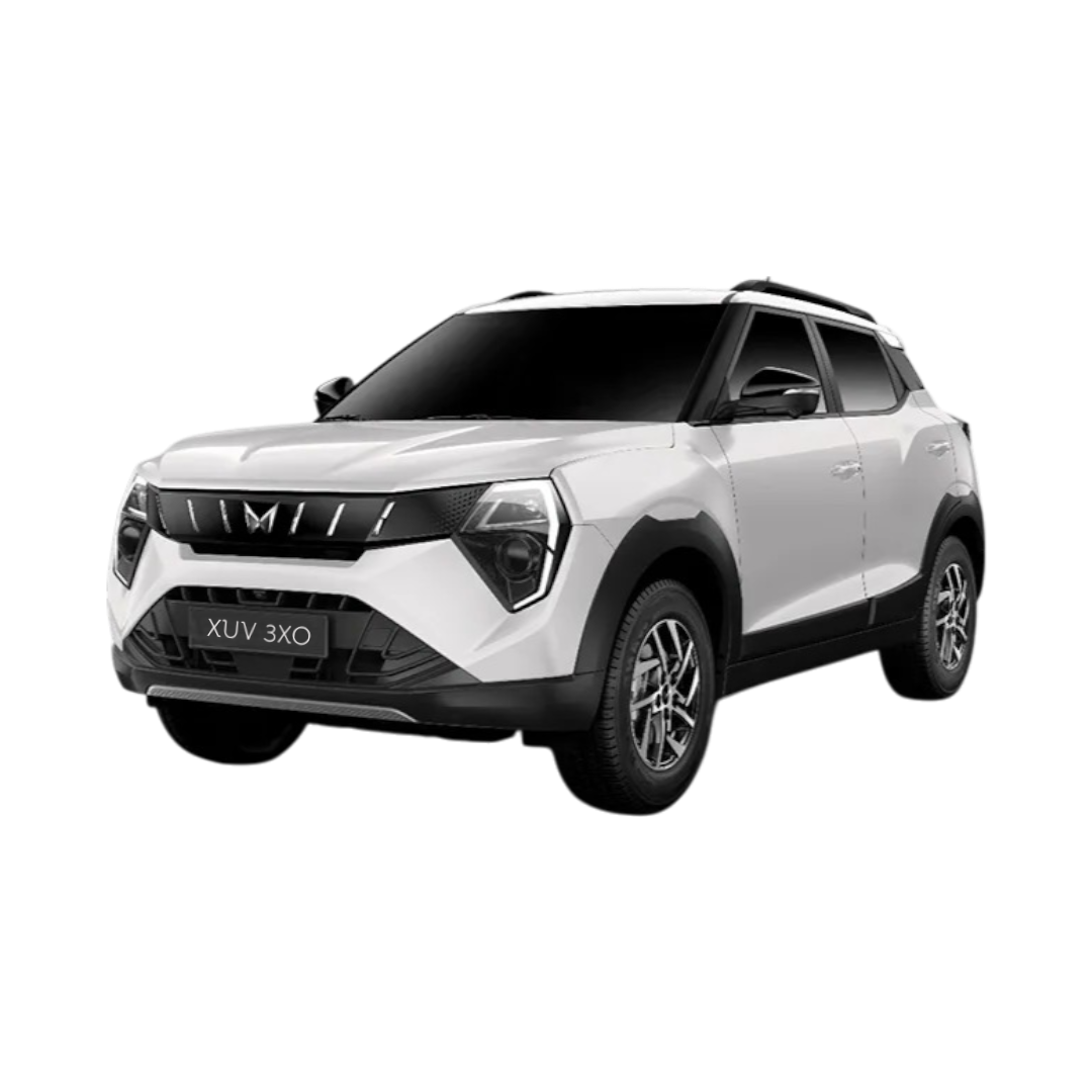 XUV 3XO
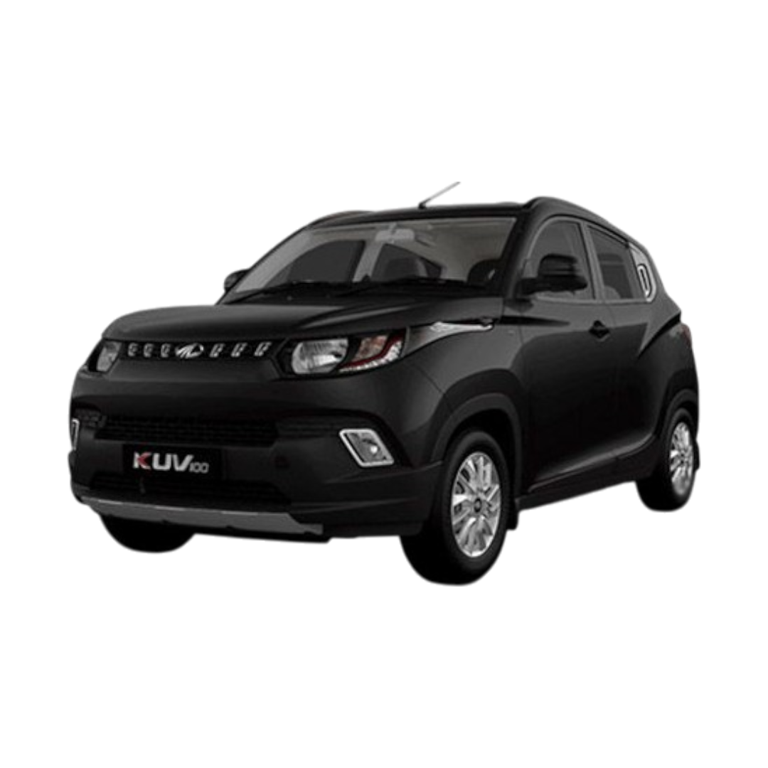 KUV 100
NuvoSport
XEV 9e
BE 6
Thar Roxx
E-Verito
XUV 7XO
TUV 100
KUV 100
NuvoSport
XEV 9e
BE 6
Thar Roxx
E-Verito
XUV 7XO
TUV 100
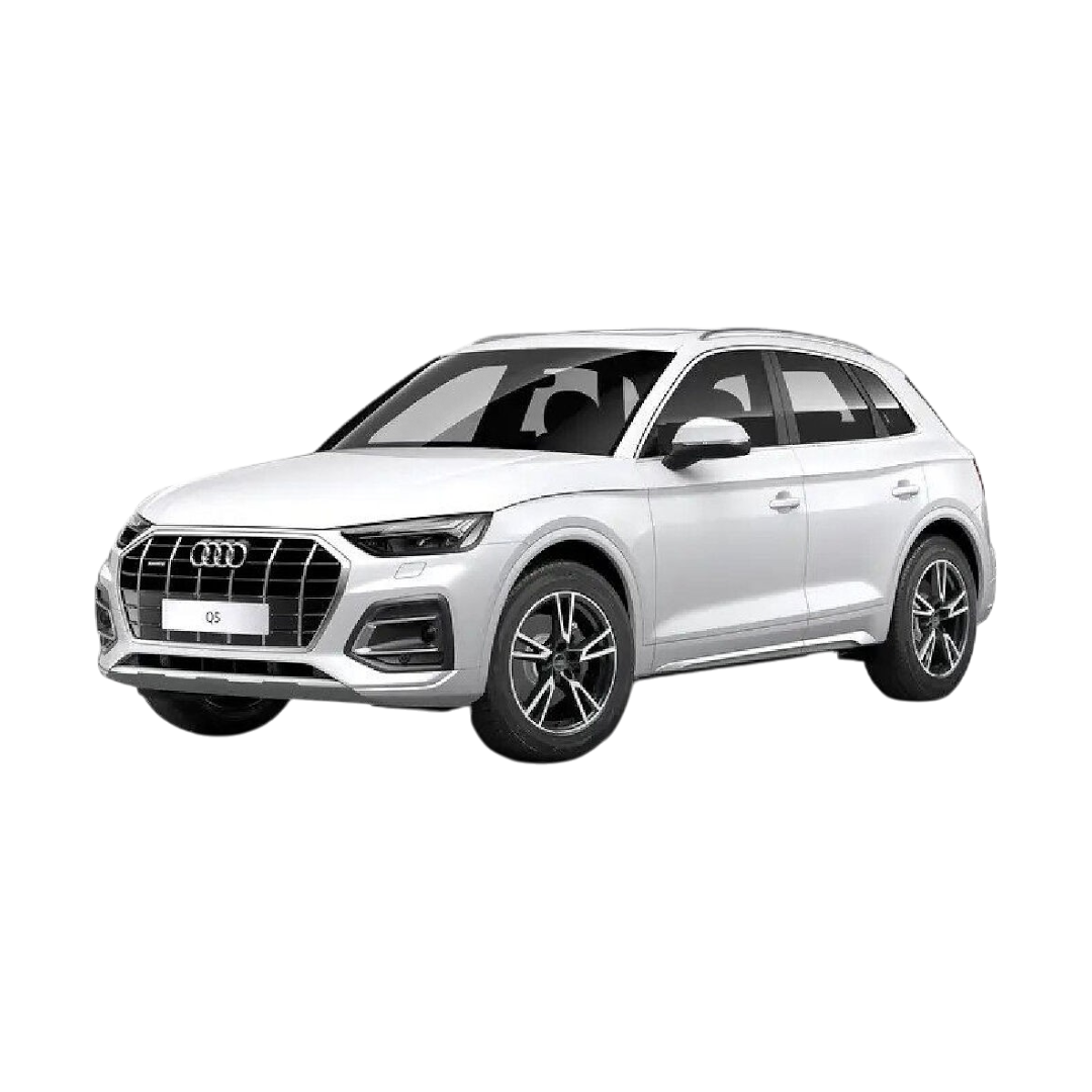 Audi Q5
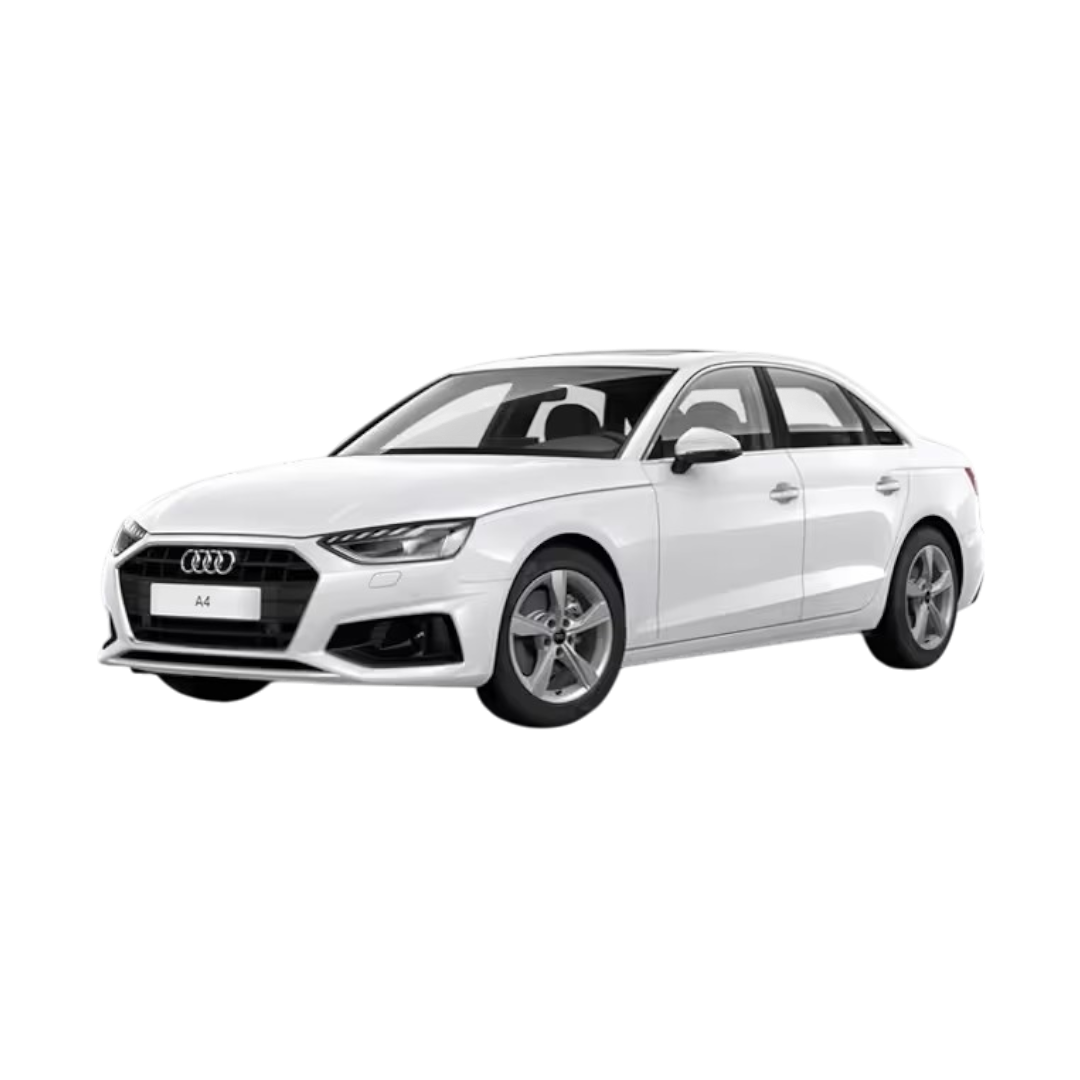 Audi A4
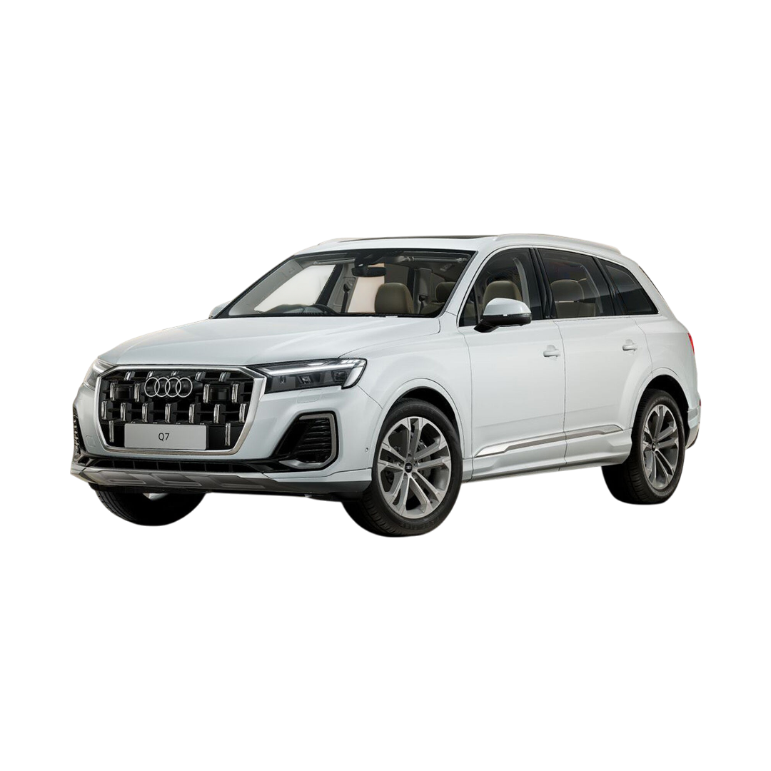 Audi Q7
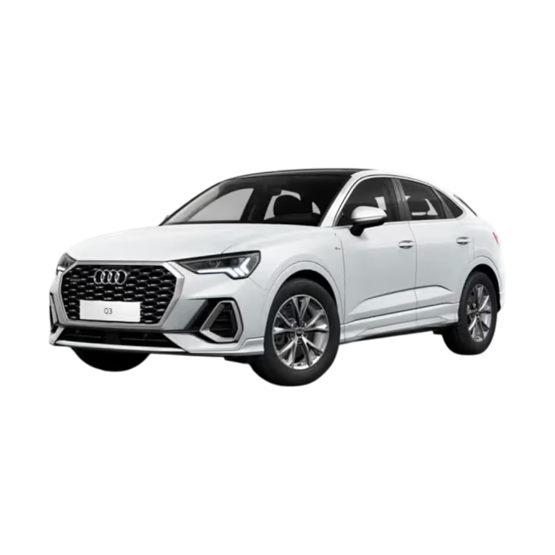
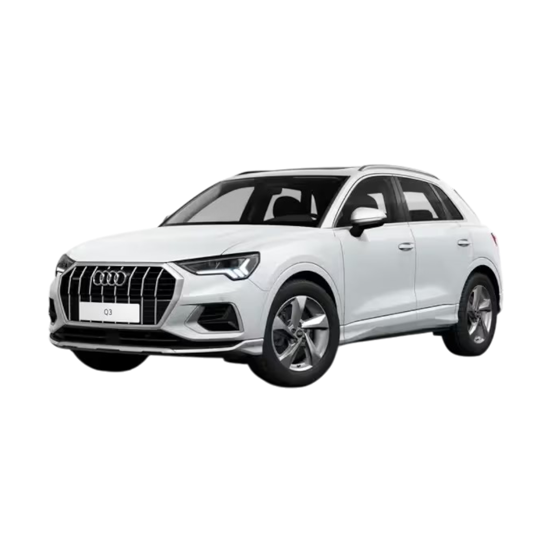 Audi Q3
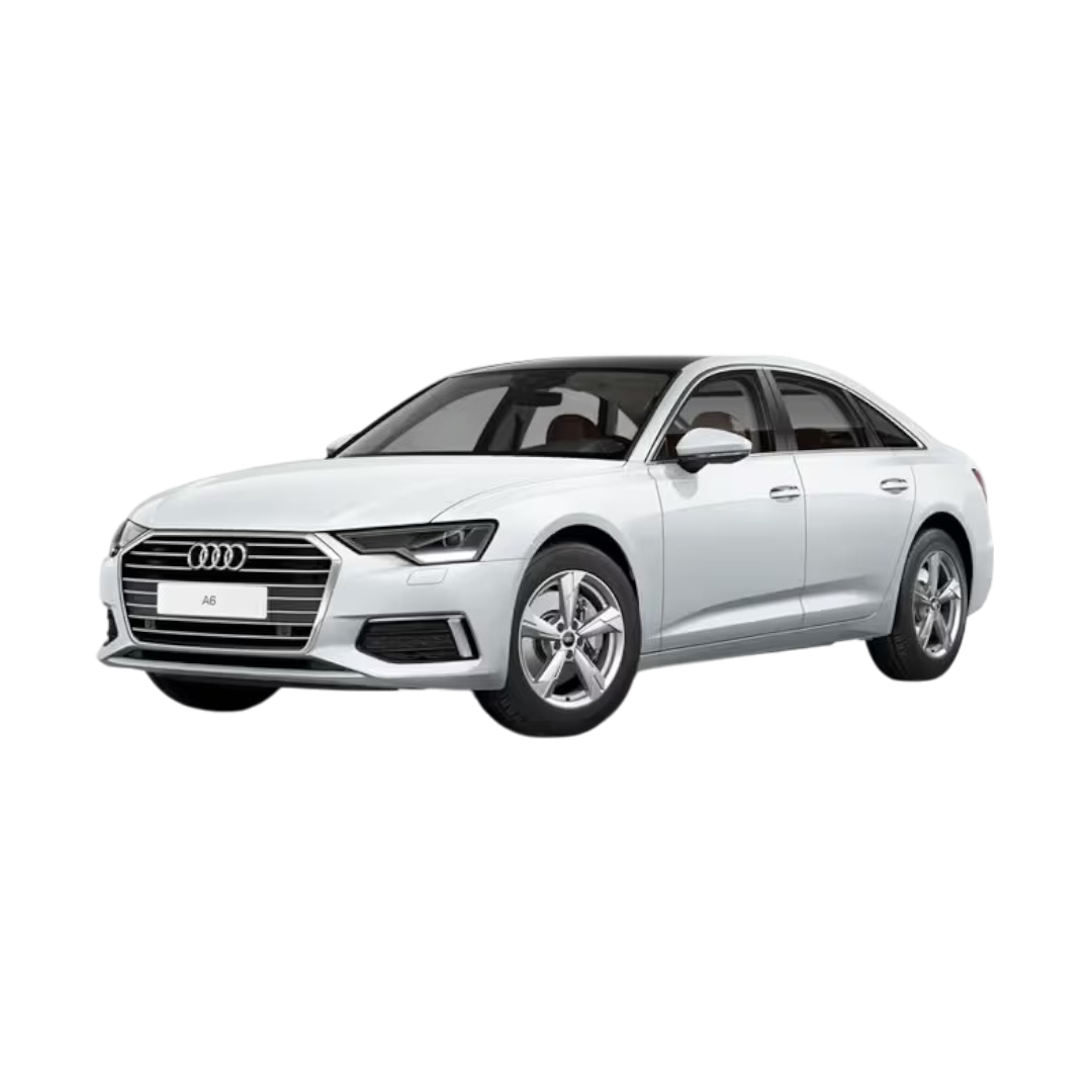 Audi A6
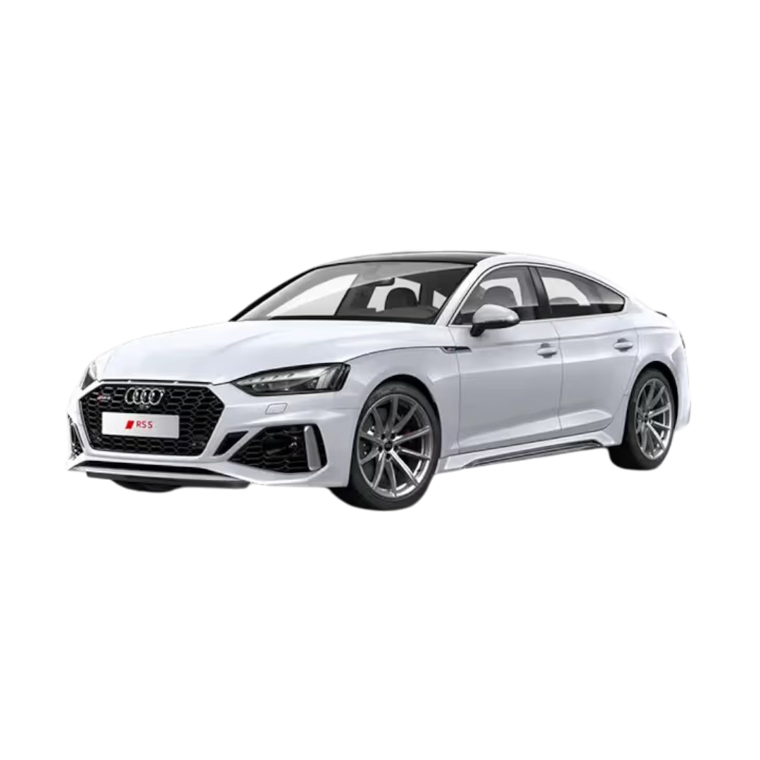 Audi RS5
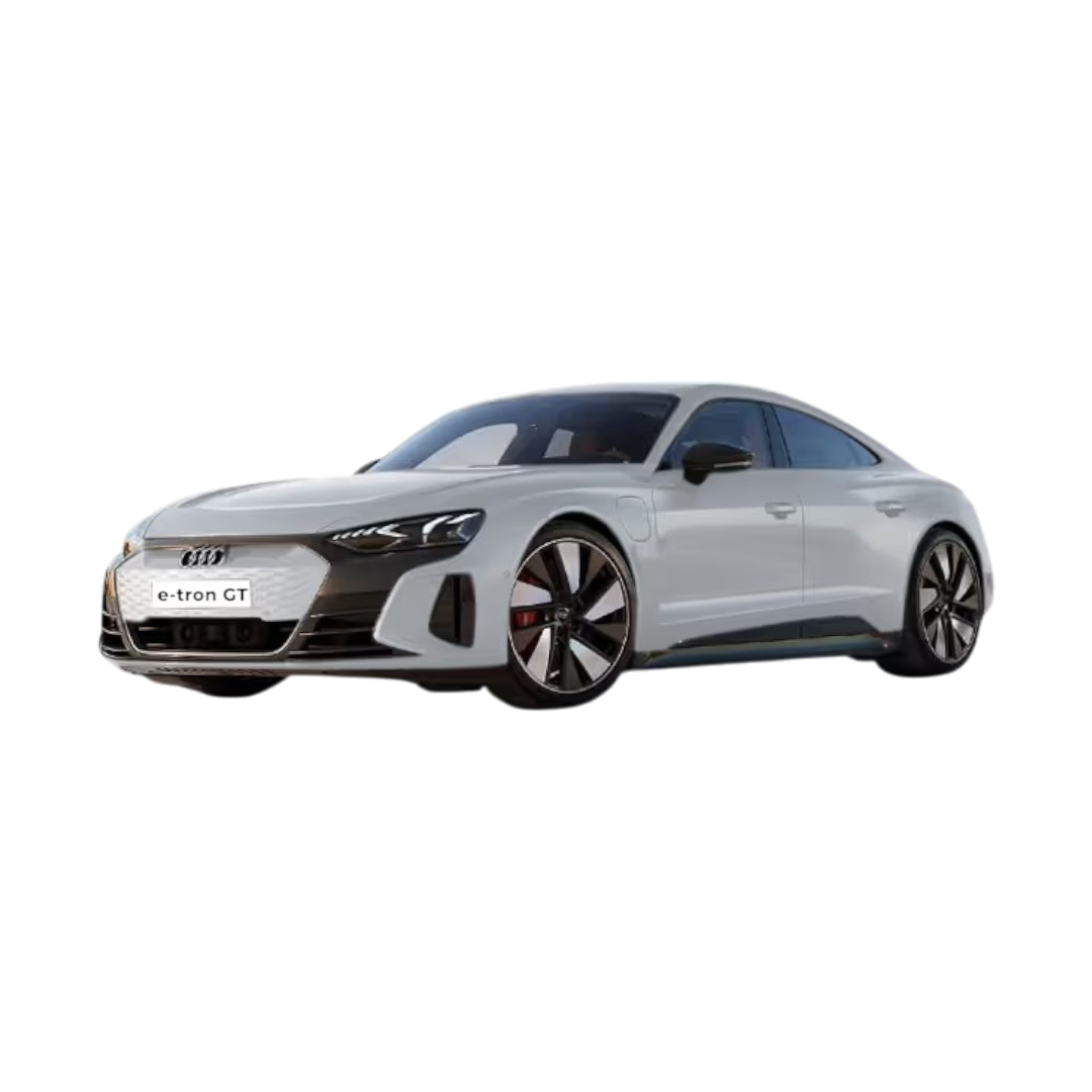 E-Tron GT
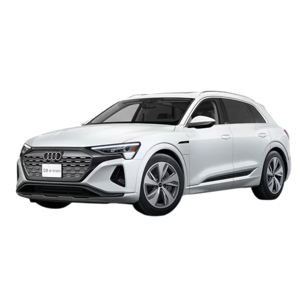
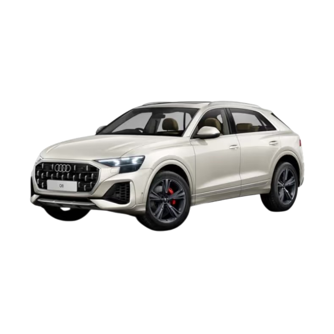 Audi Q8
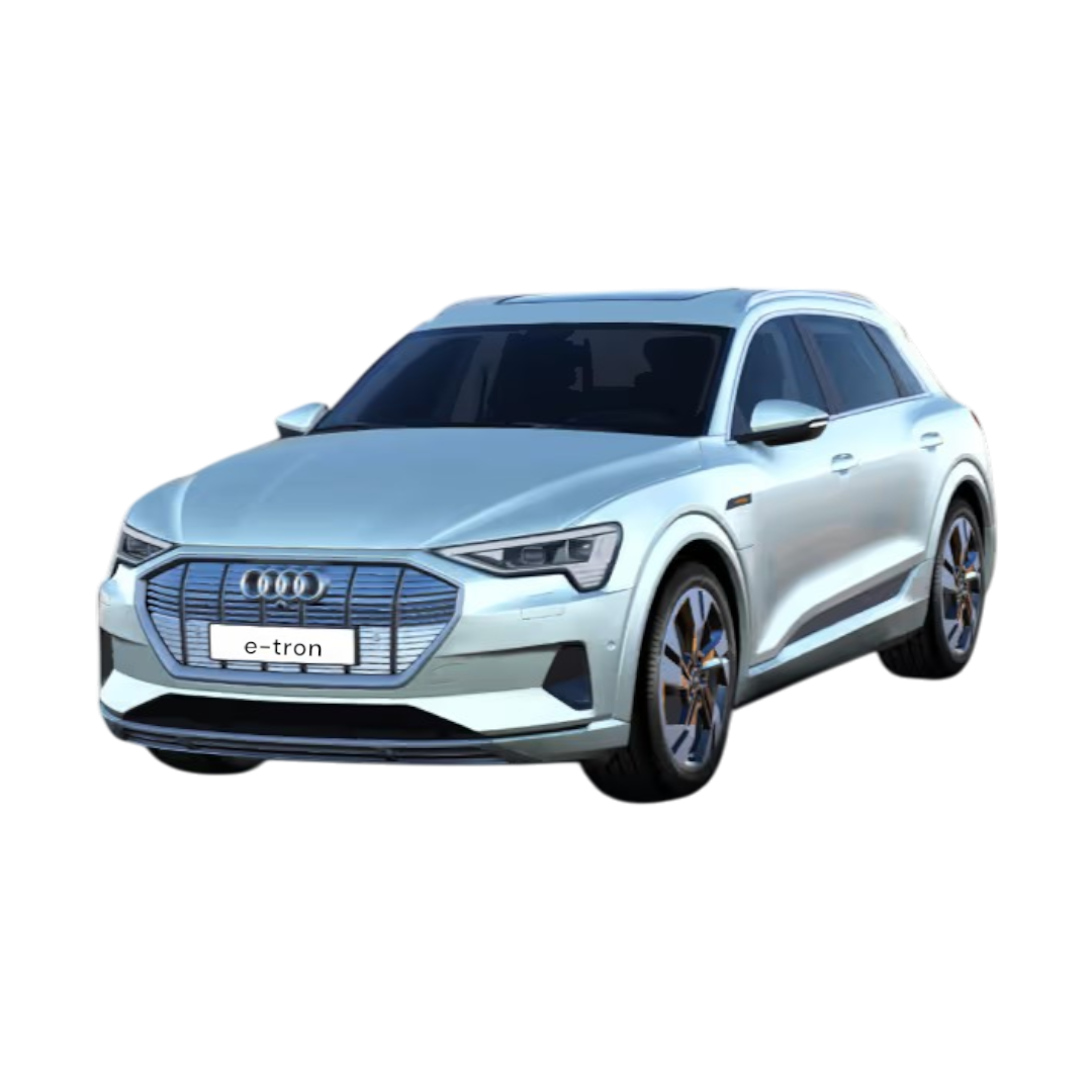 E-Tron
 Q3 Sportback
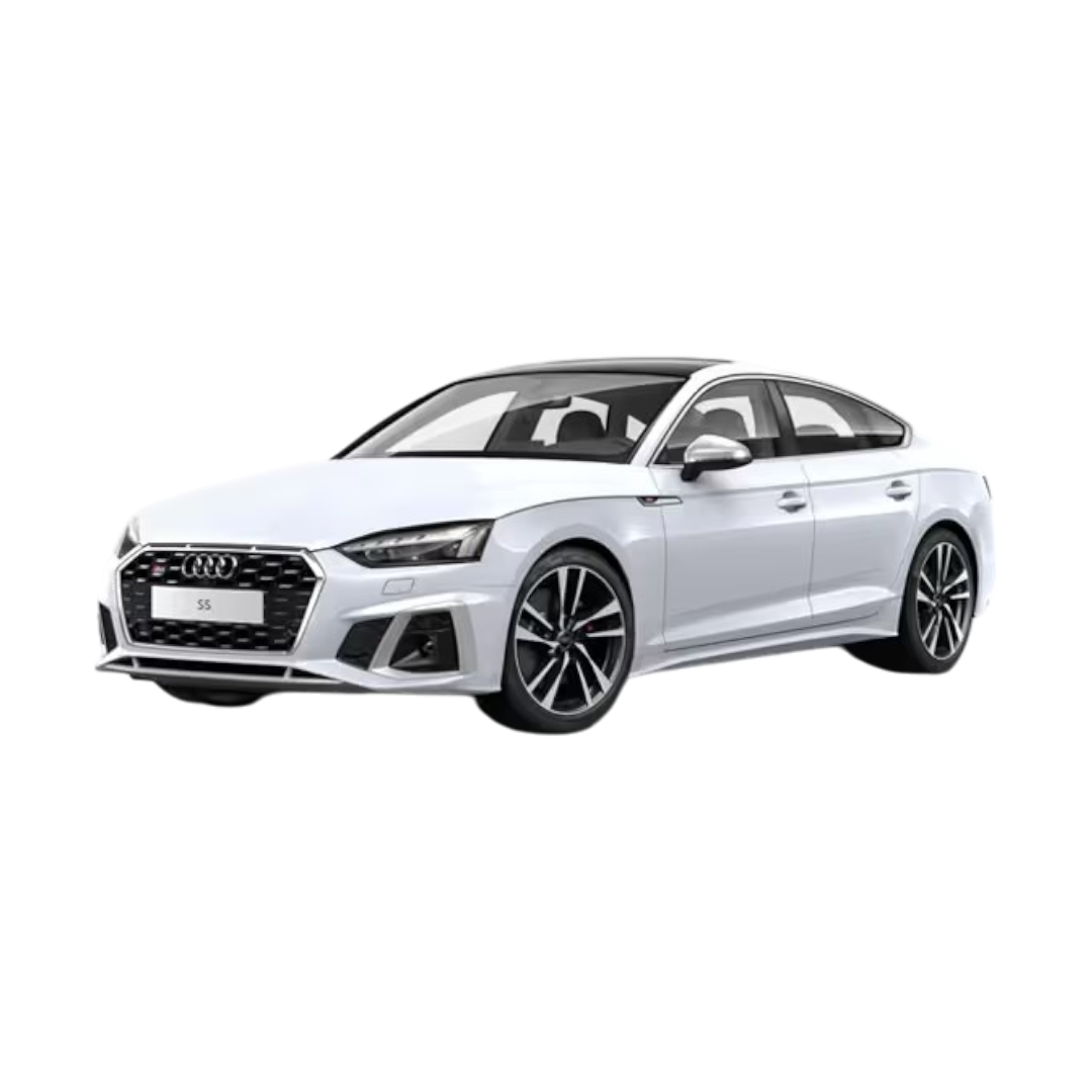 Audi S5 Sportback
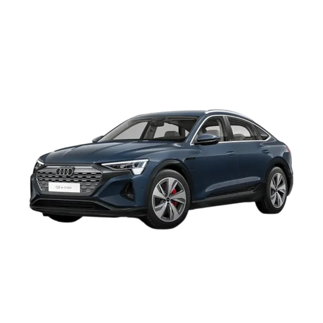 Q8 E-Tron
 Q8 E-Tron Sportback
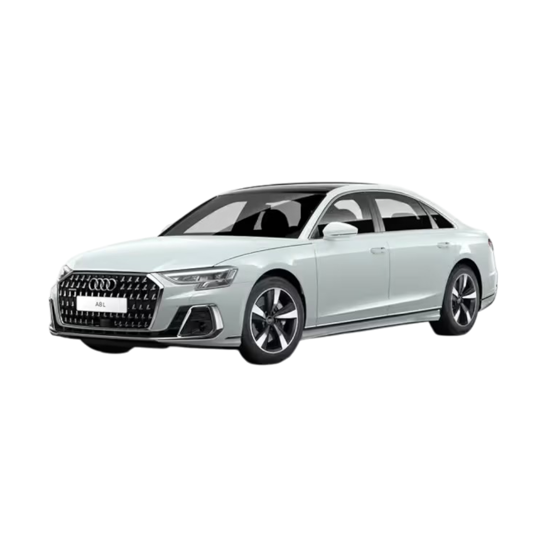 Audi A8L
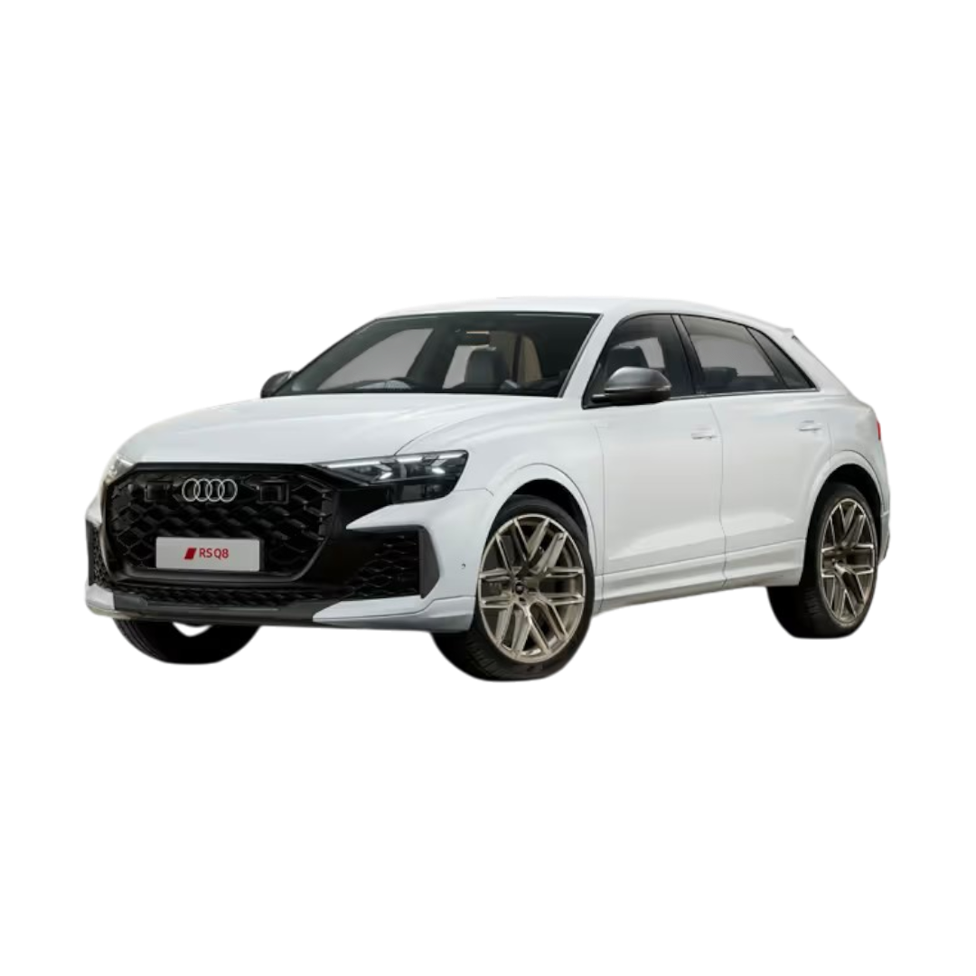 Audi RS Q8
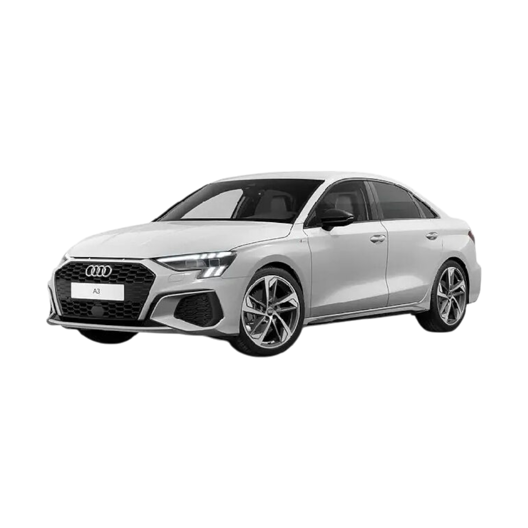 Audi A3
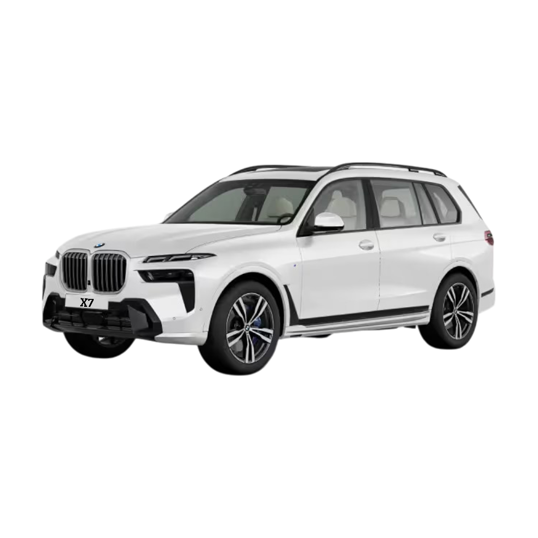 BMW X7
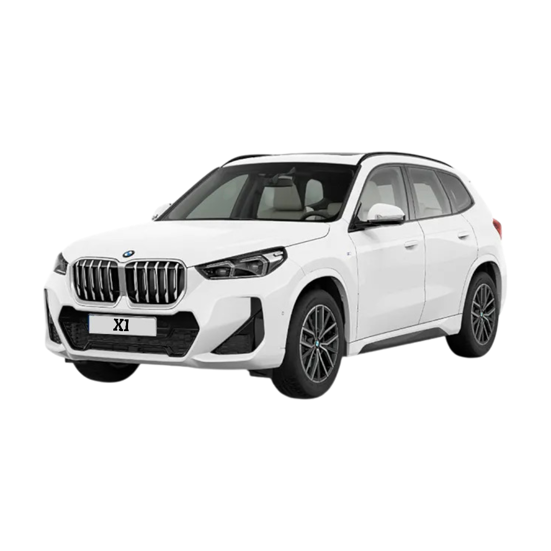 BMW X1
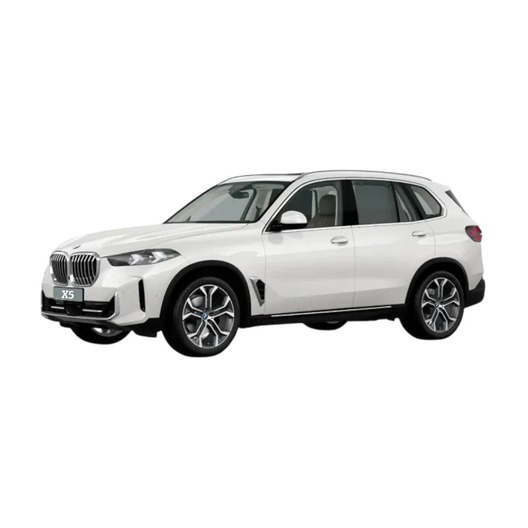 BMW X5
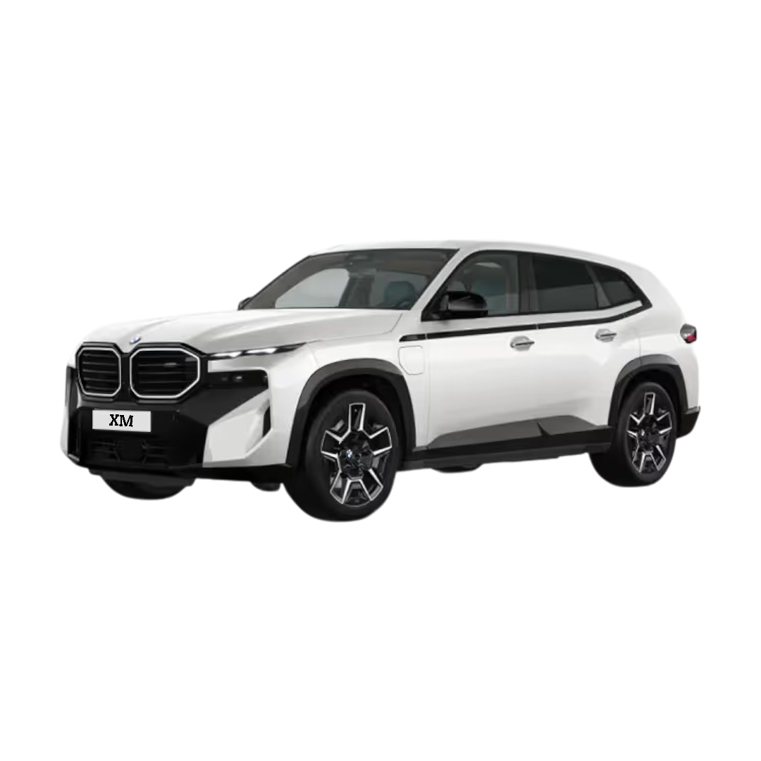 BMW XM
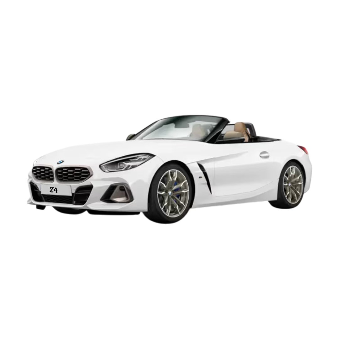 BMW Z4
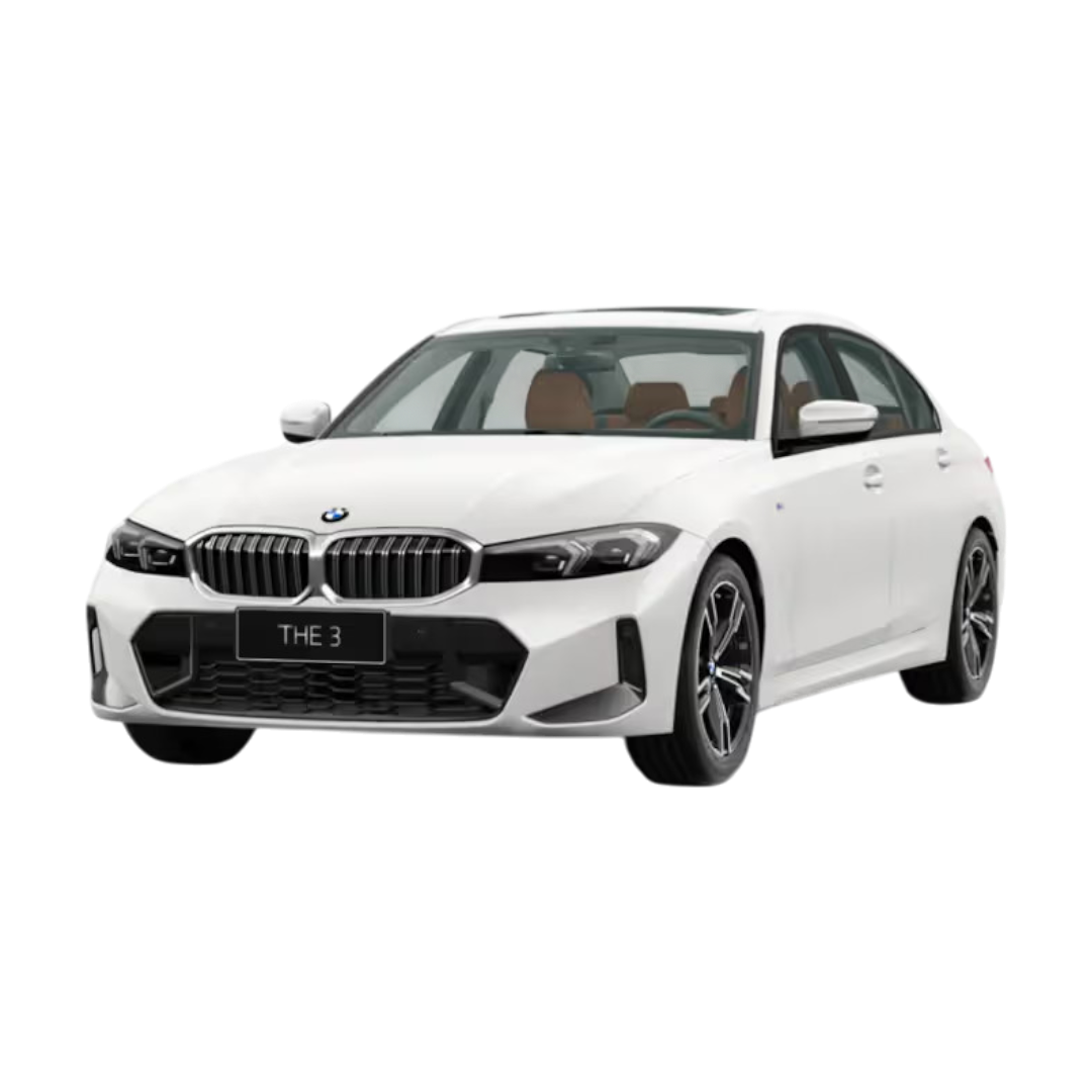
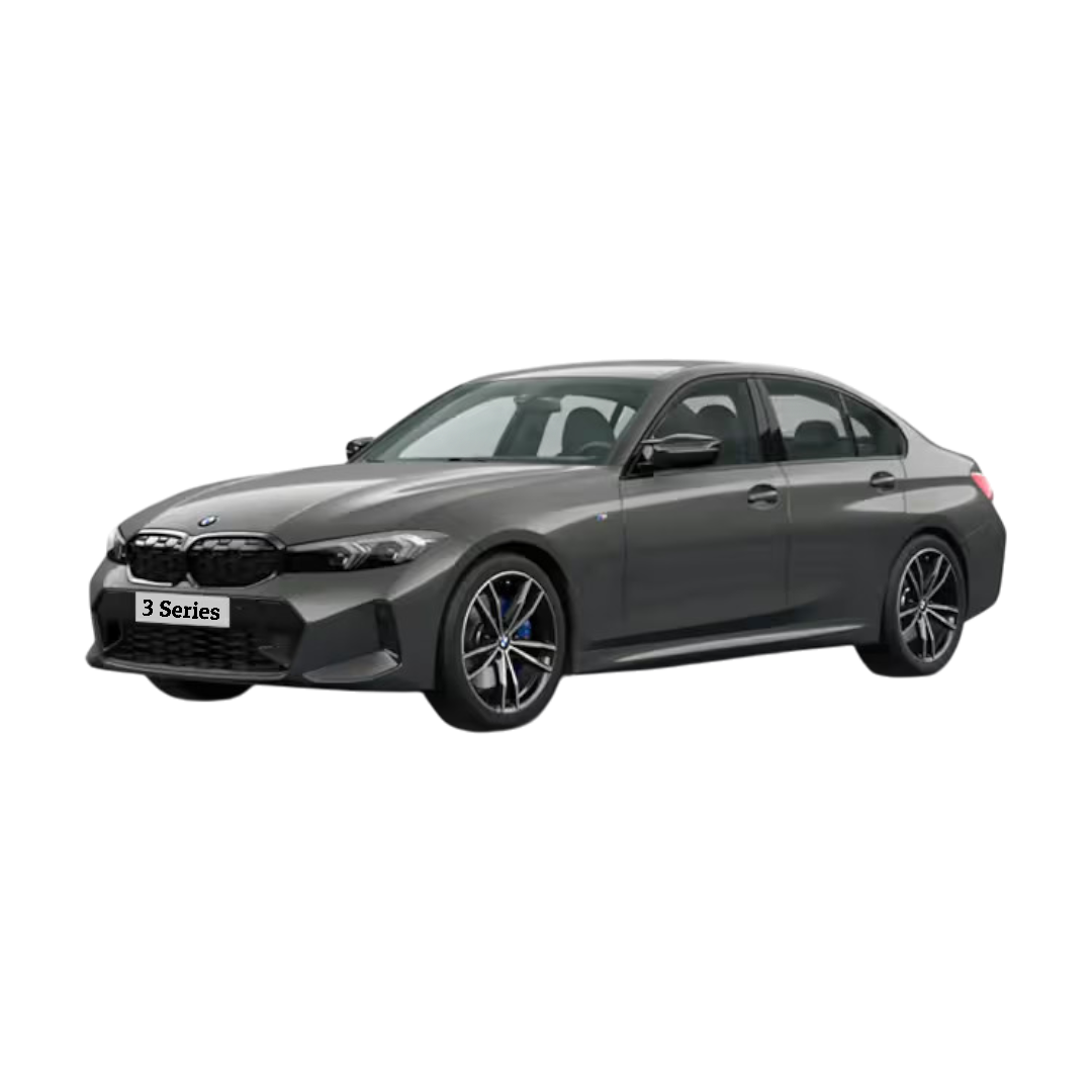 3 Series
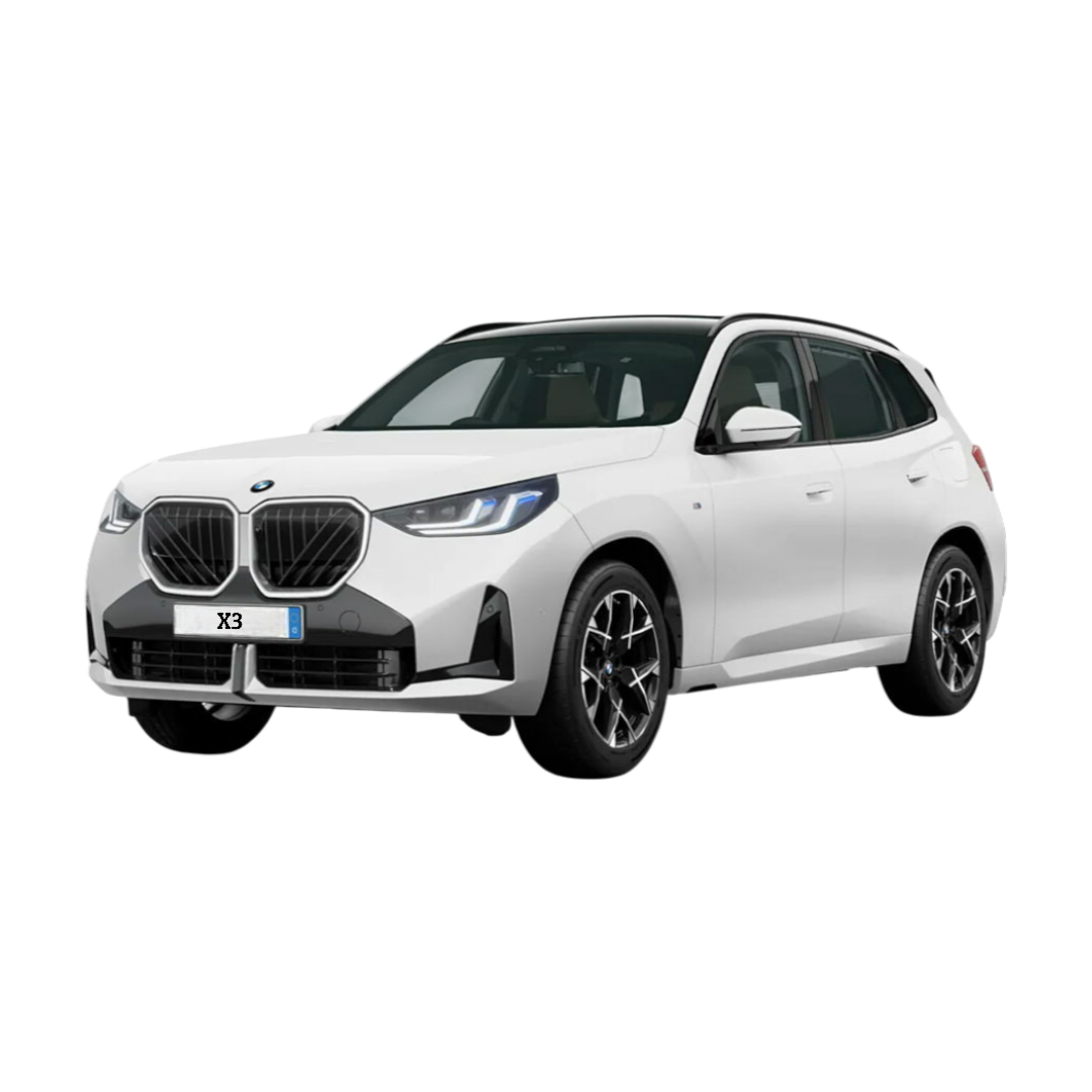 BMW X3
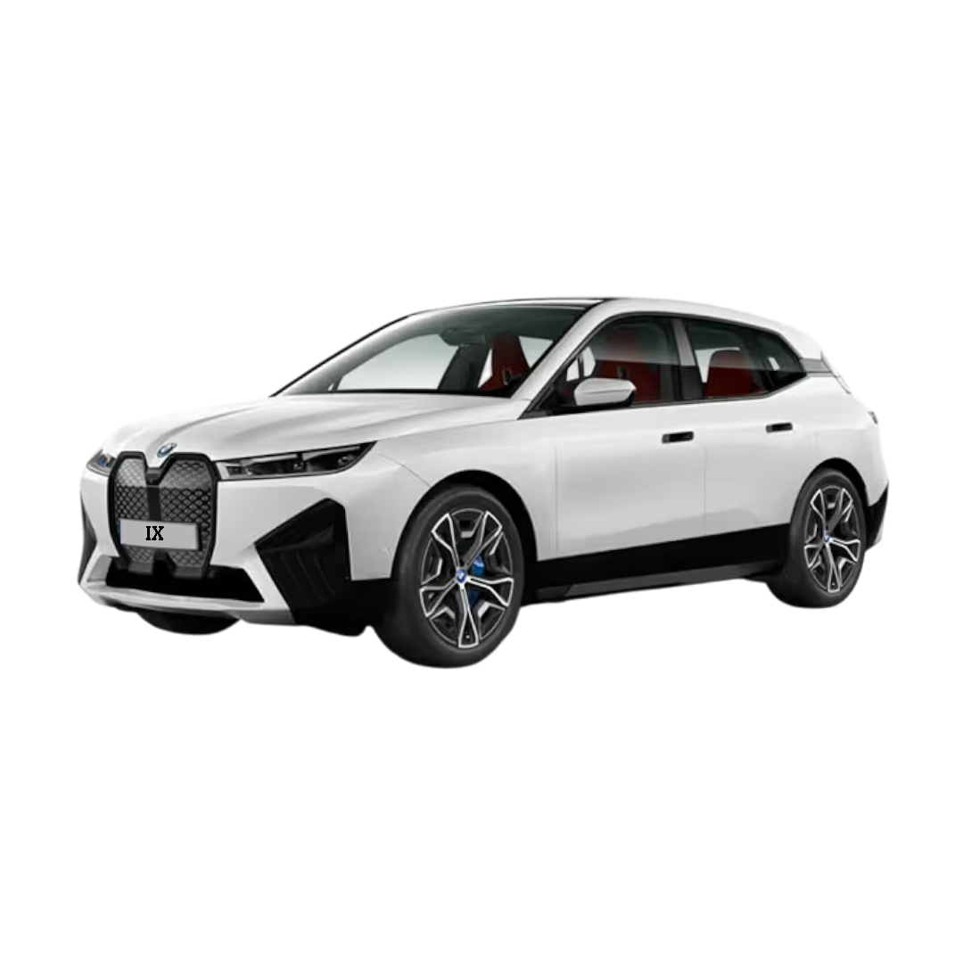 BMW iX
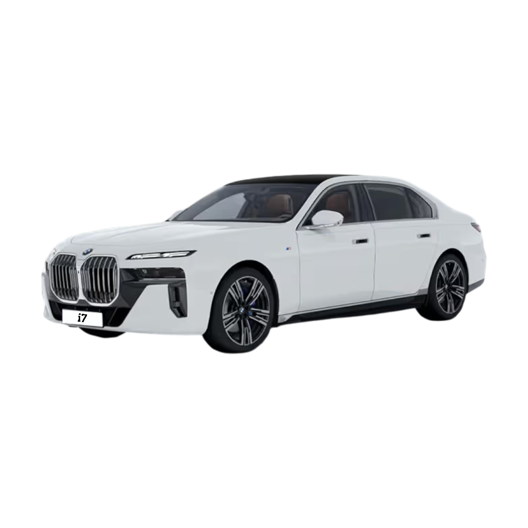 BMW i7
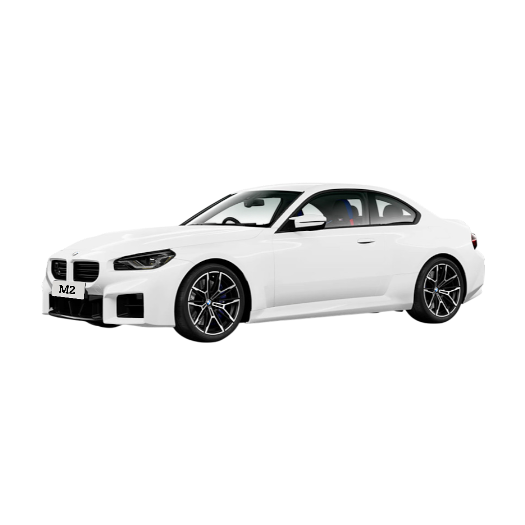 BMW M2
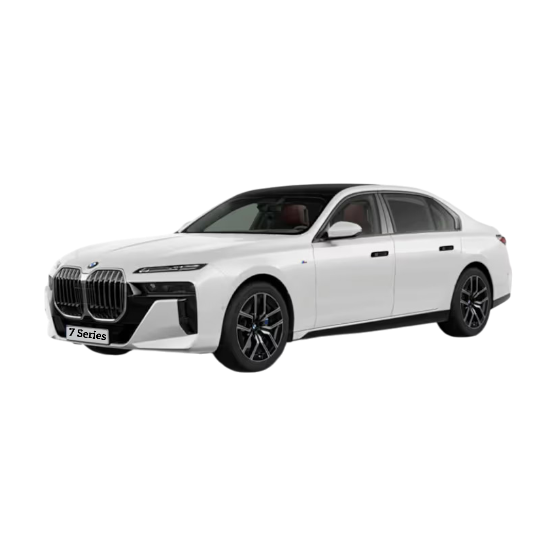 7 Series
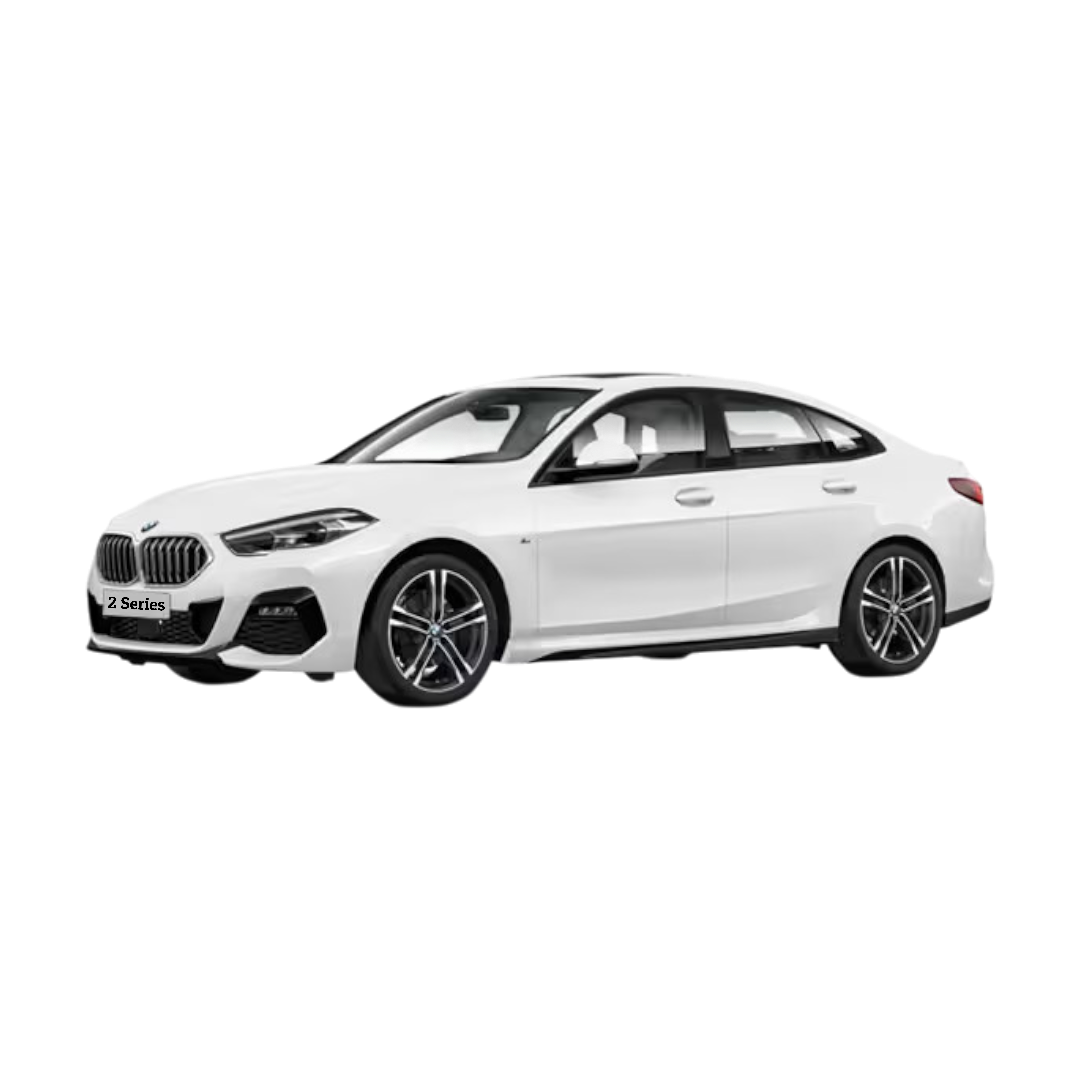 2 Series
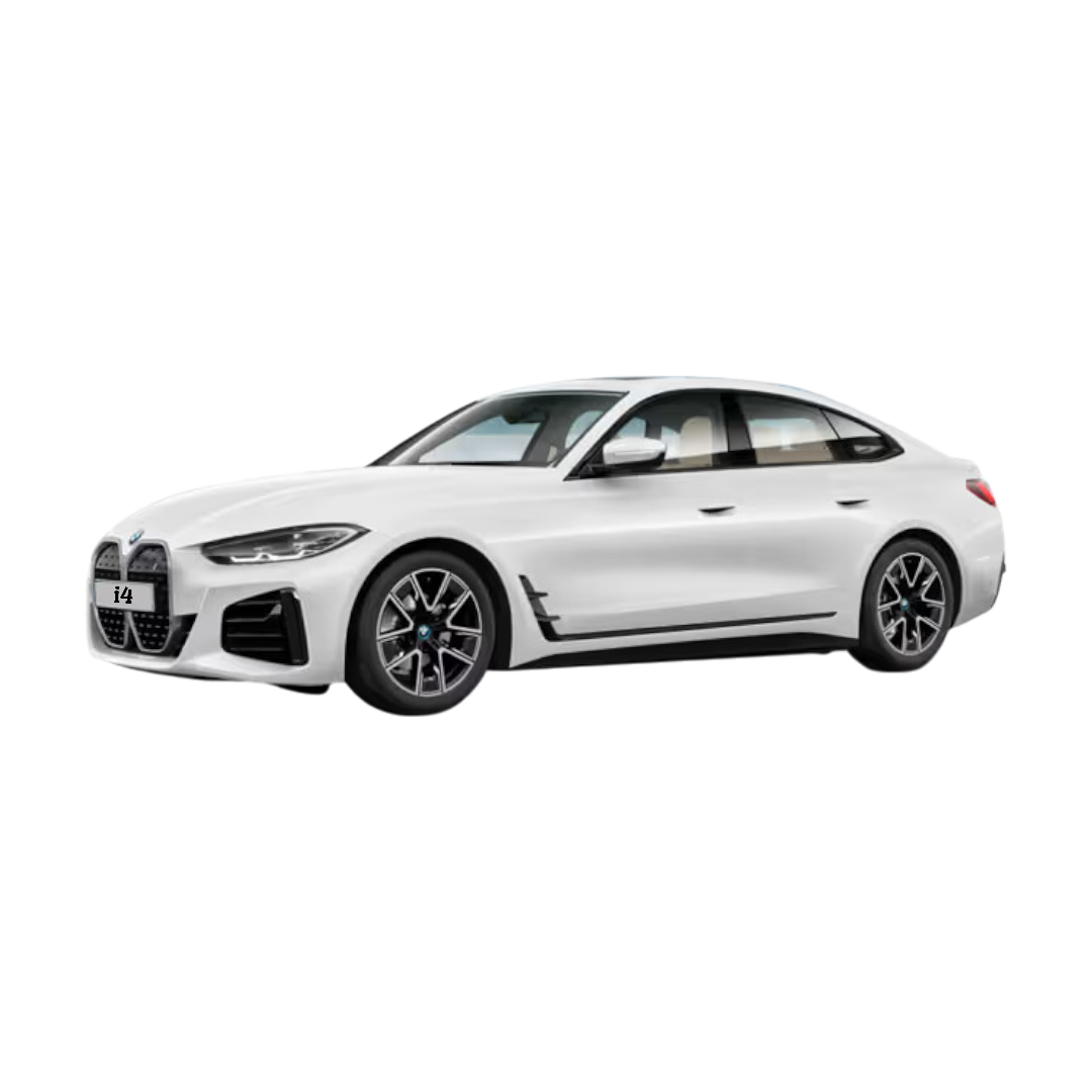 BMW i4
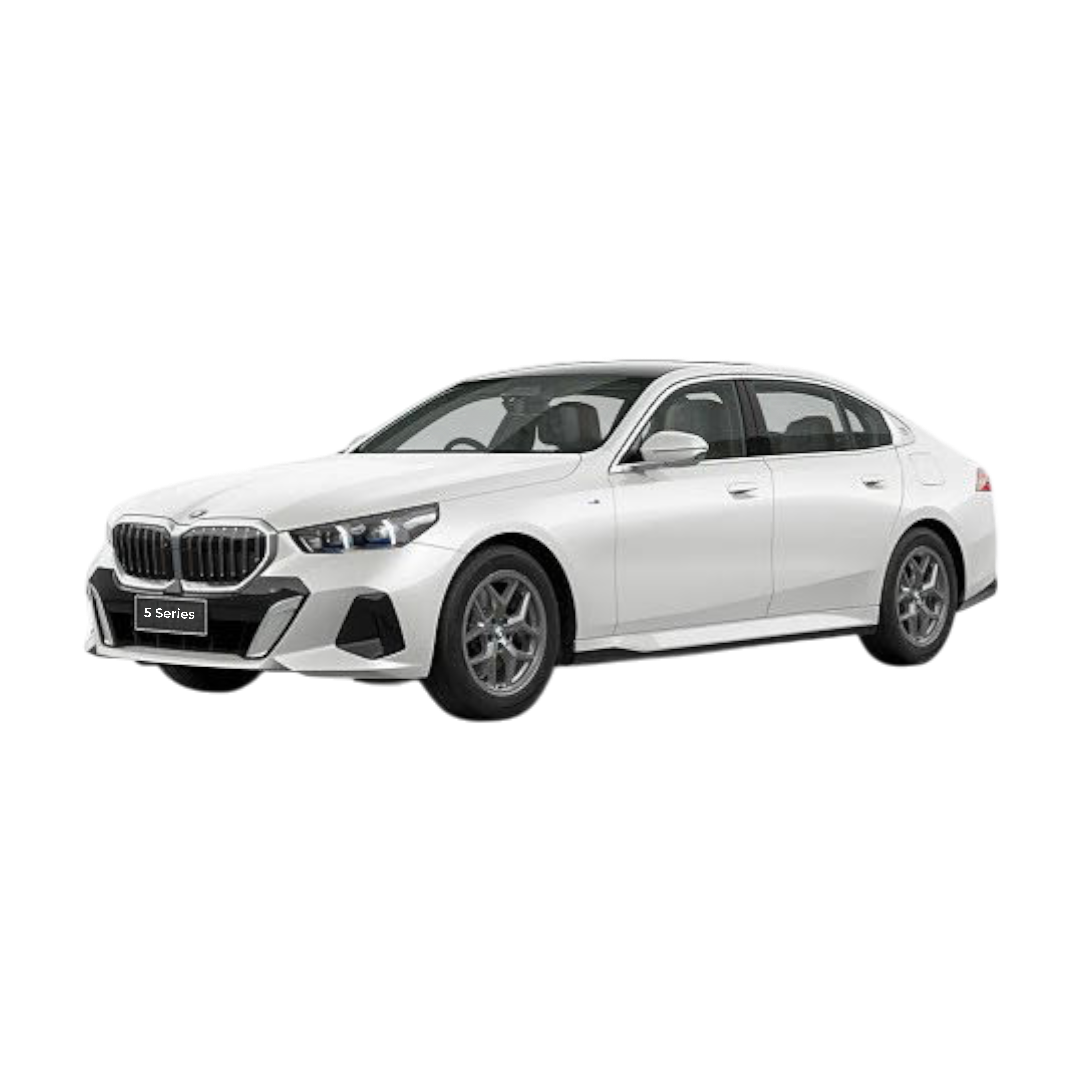 5 Series
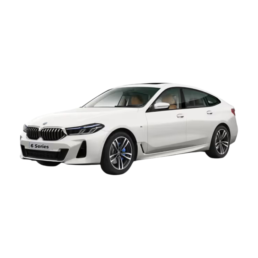 6 Series
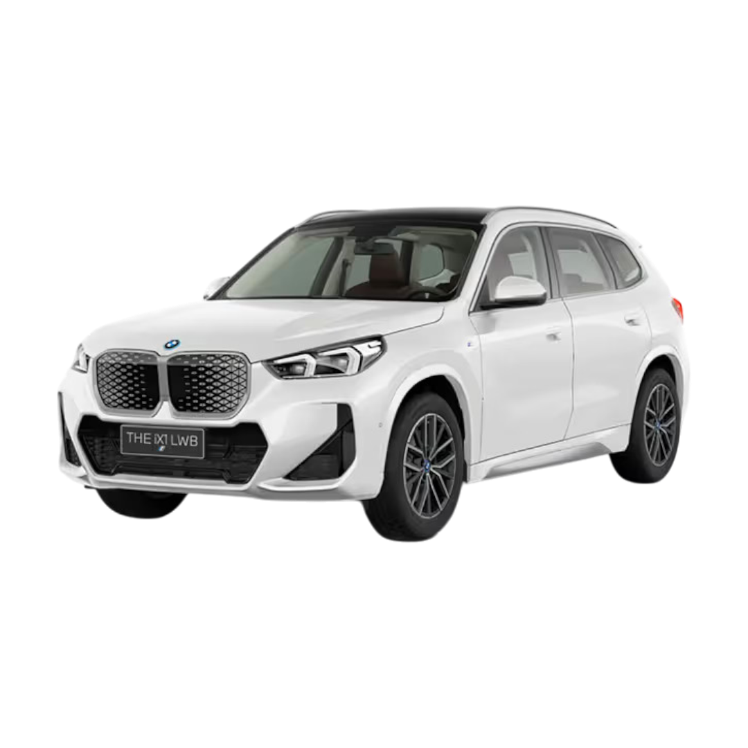 BMW ix1
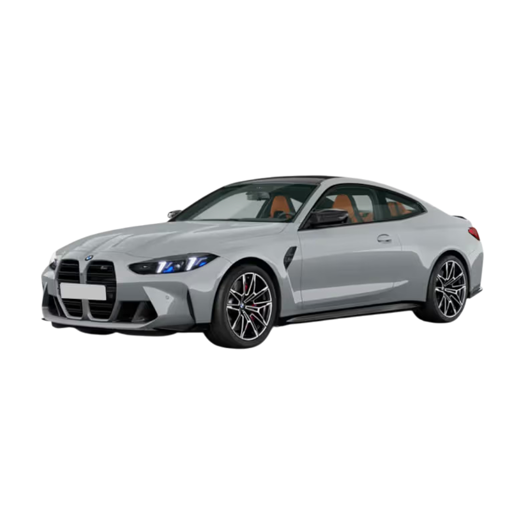 M4 Competition
 3 Series Gran Limousine
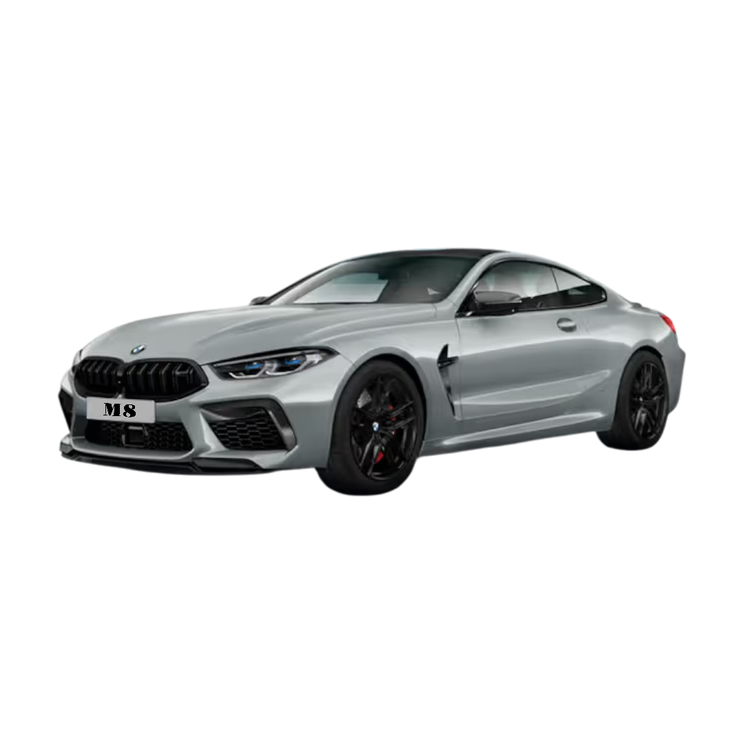 M8 Coupe
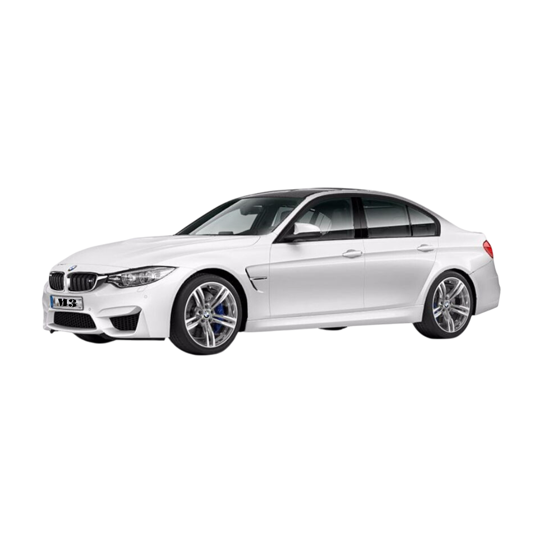 BMW M3
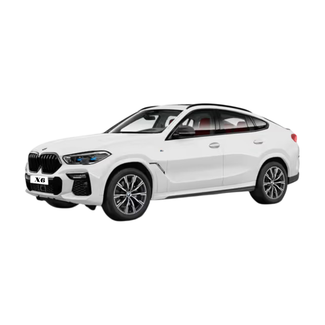 BMW X6
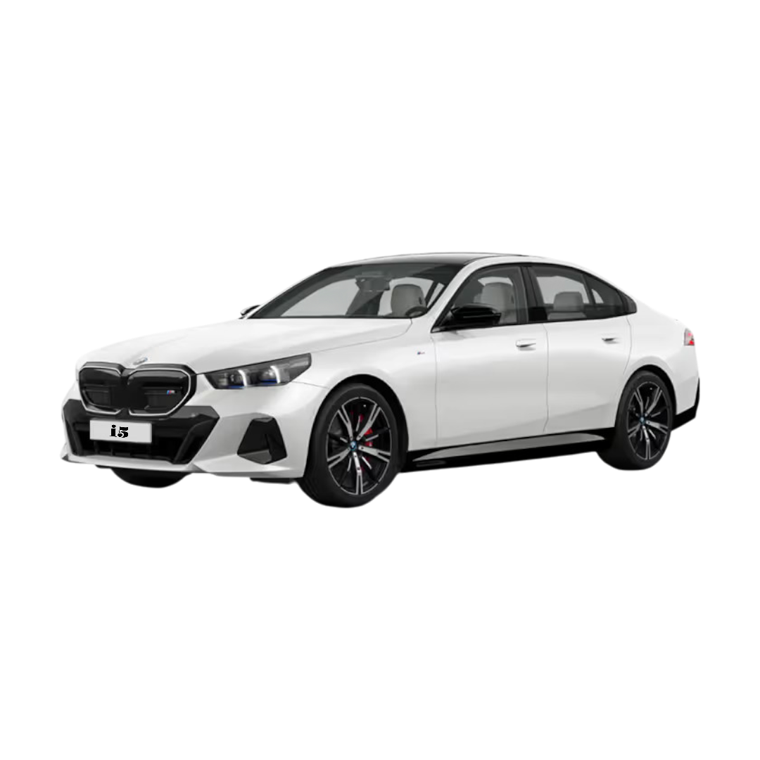 BMW i5
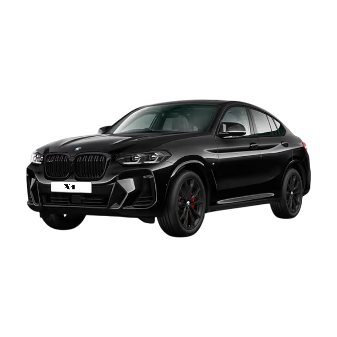 BMW X4
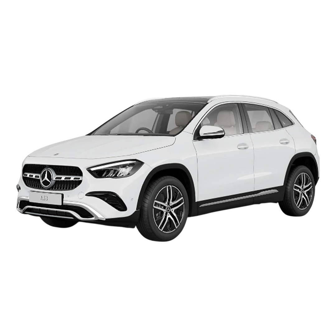
 Mercedes Benz GLA
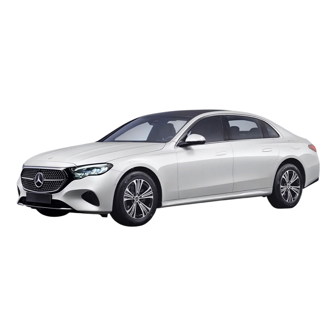 Mercedes E-Class
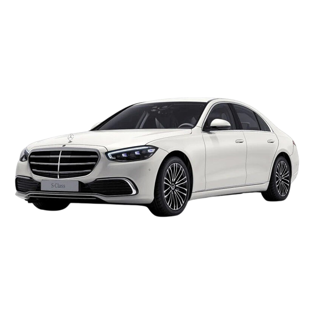 Mercedes S-Class
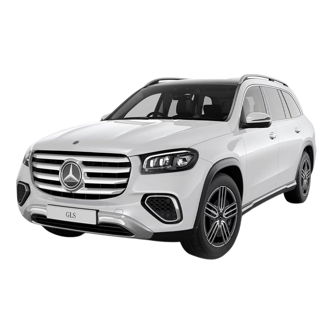 Mercedes Benz GLS
 Mercedes Benz C-Class
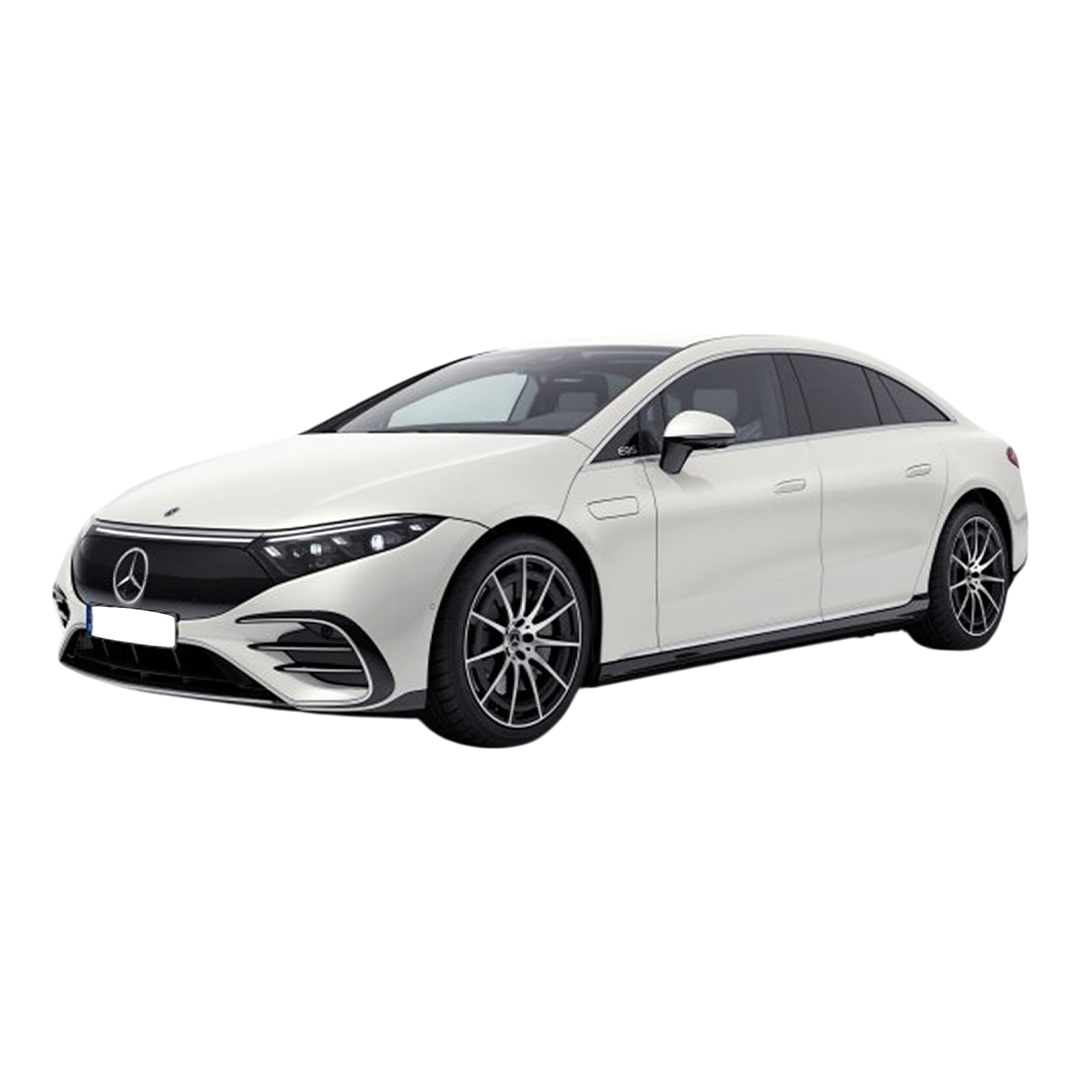 Mercedes Benz EQS
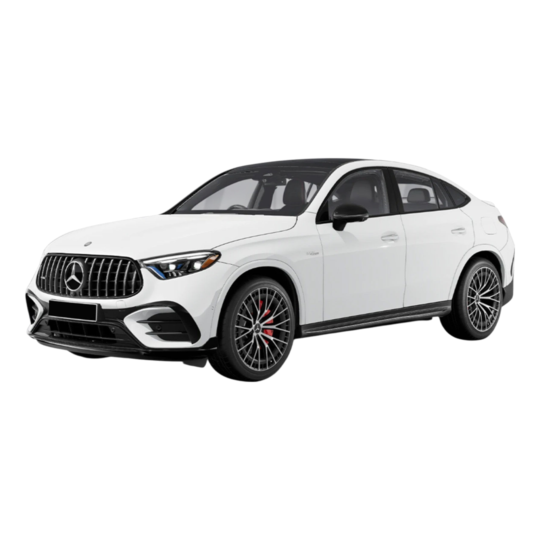
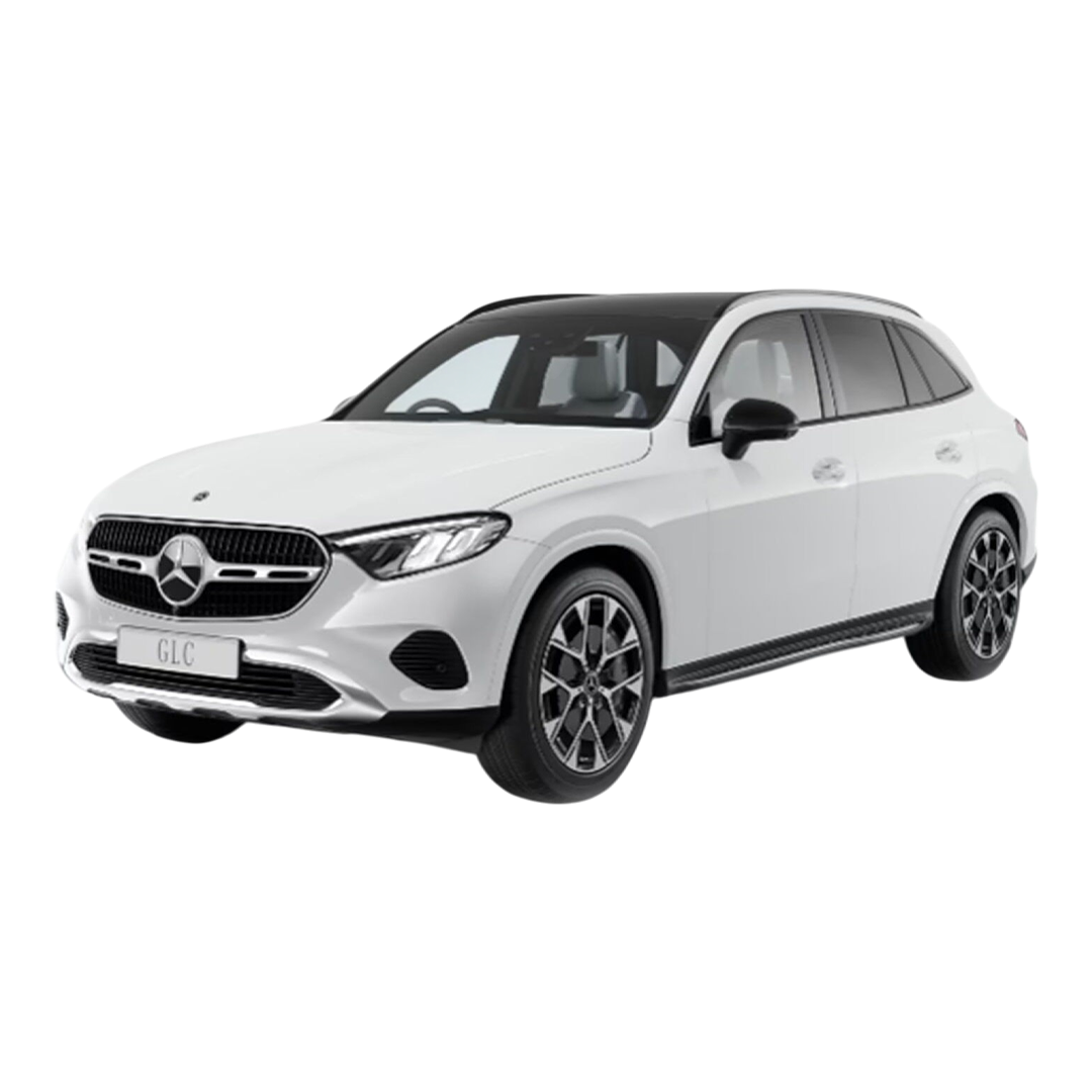 Mercedes Benz GLC
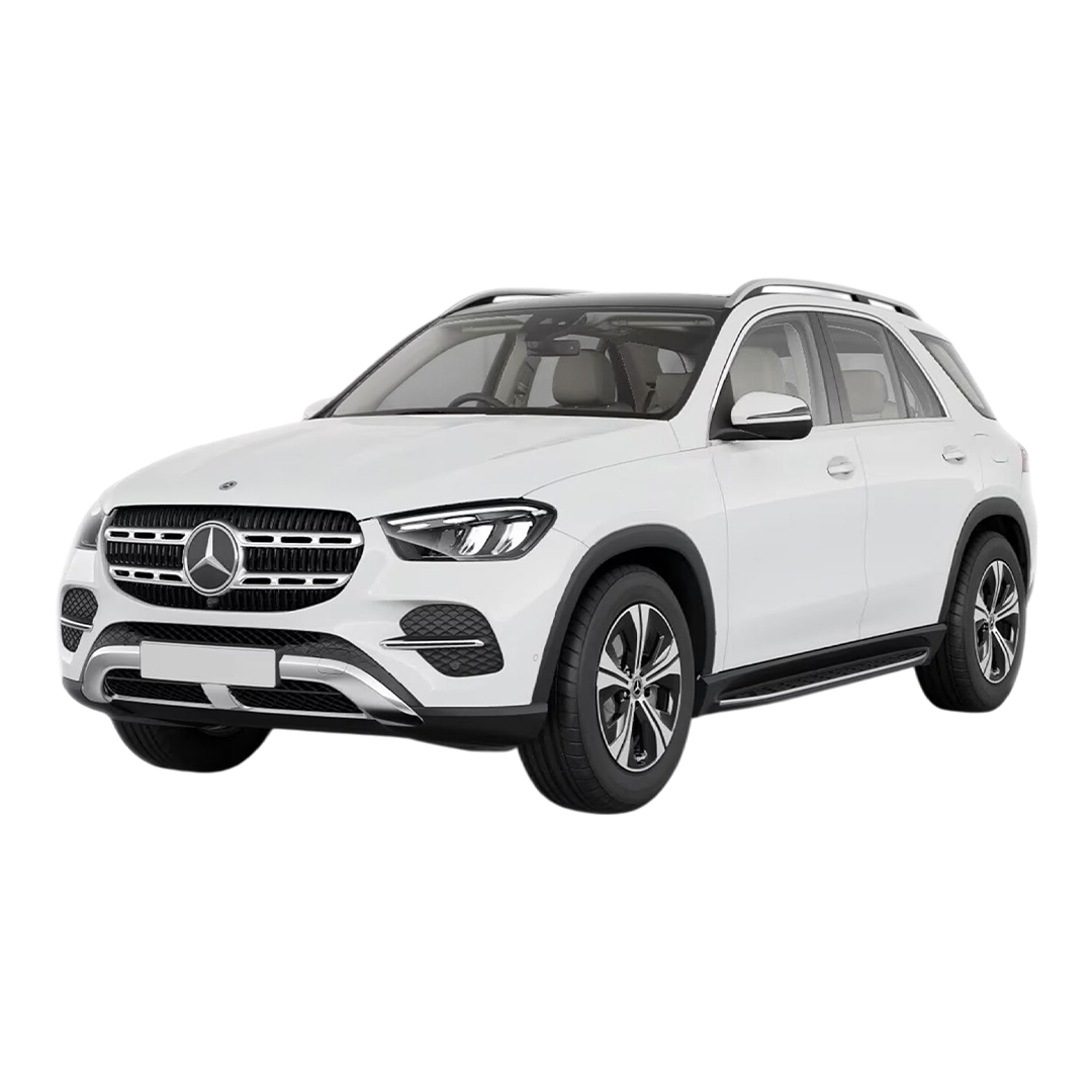
 Mercedes Benz GLE
 Mercedes Benz G-Class
 Mercedes Benz AMG SL
 Mercedes Benz MAYBACH S- Class
 Mercedes Benz EQE-SUV
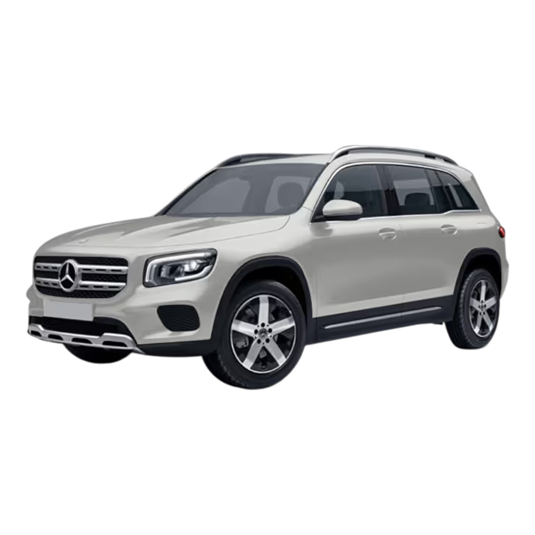 Mercedes Benz GLB
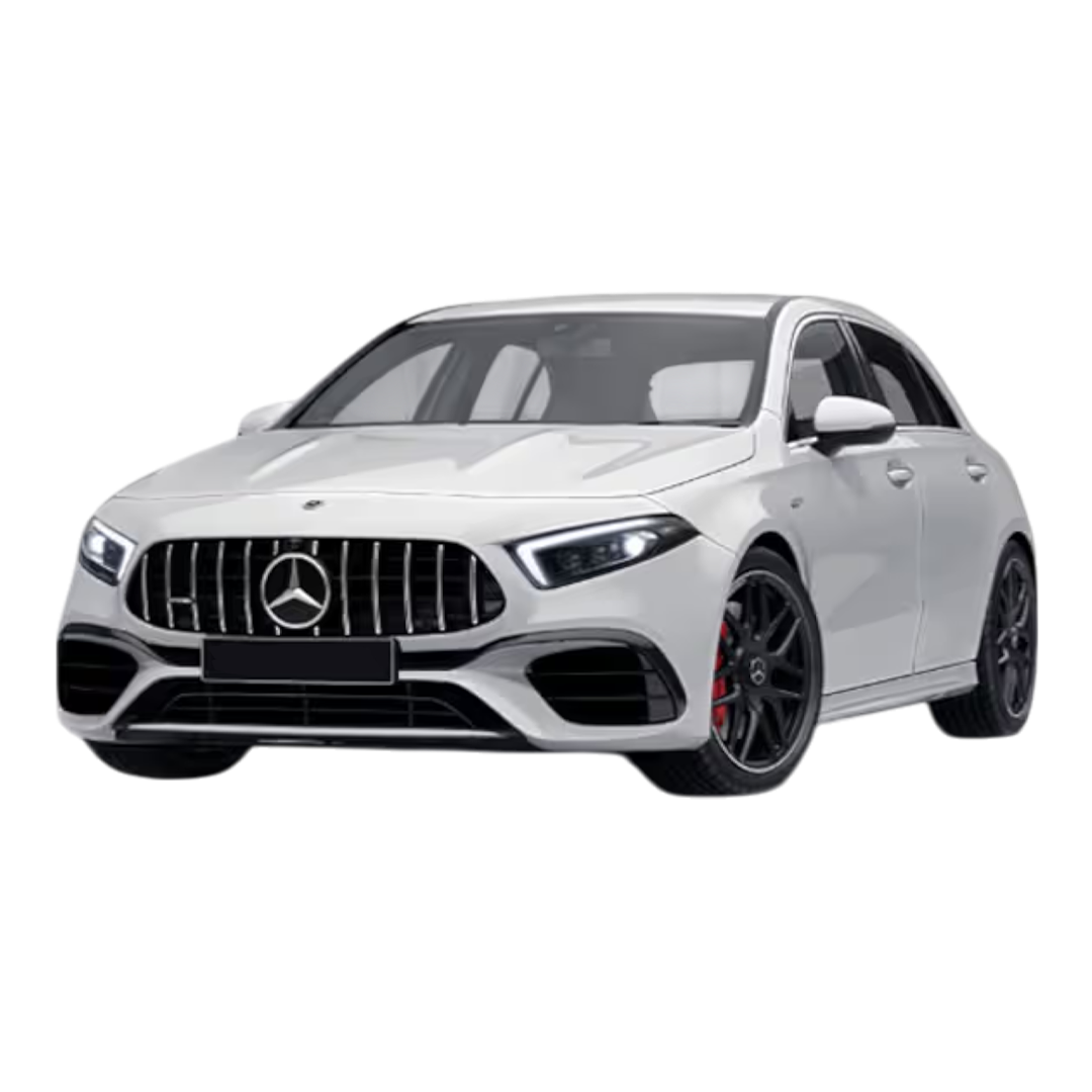 Mercedes Benz AMG A 45 S
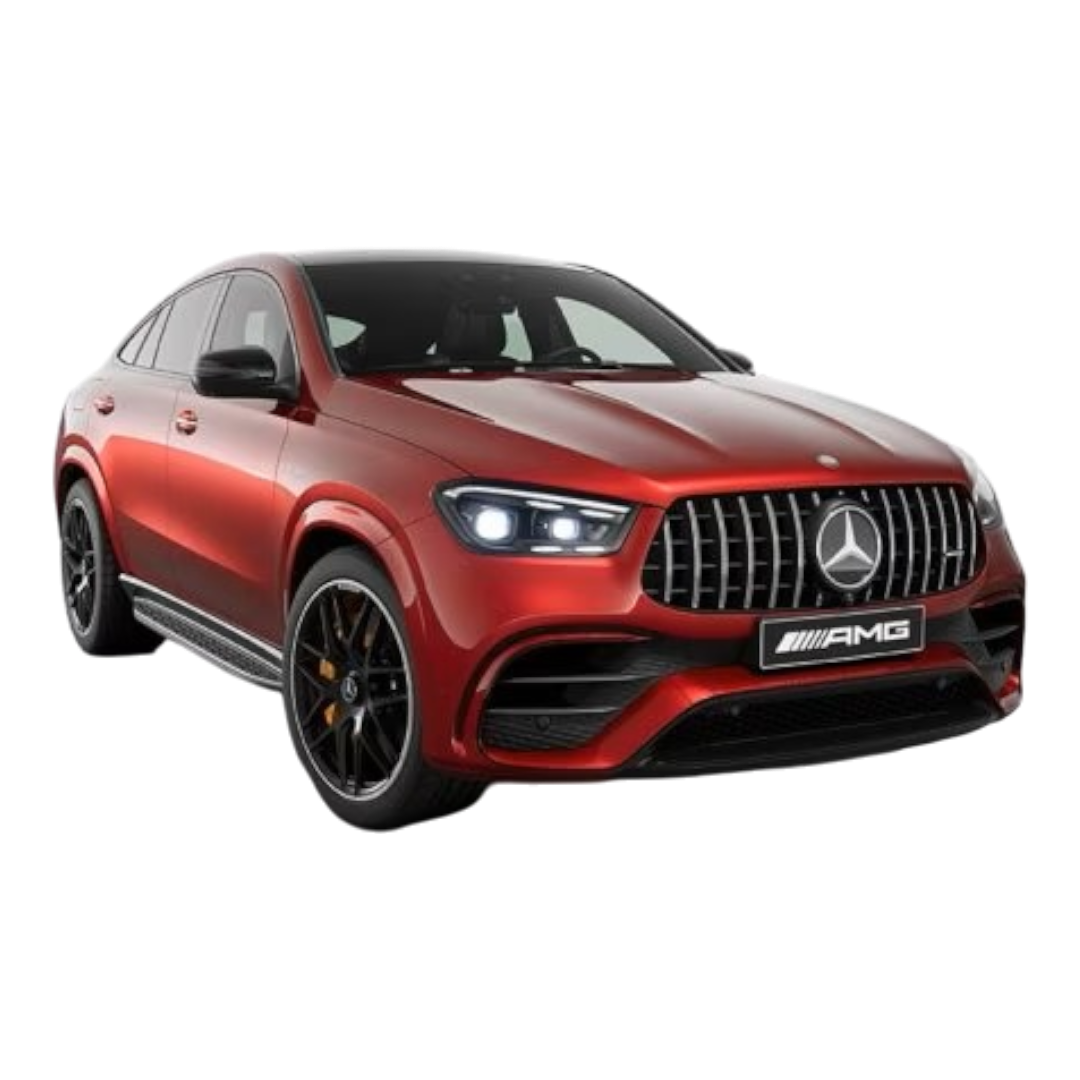 Mercedes Benz AMG GLE S3
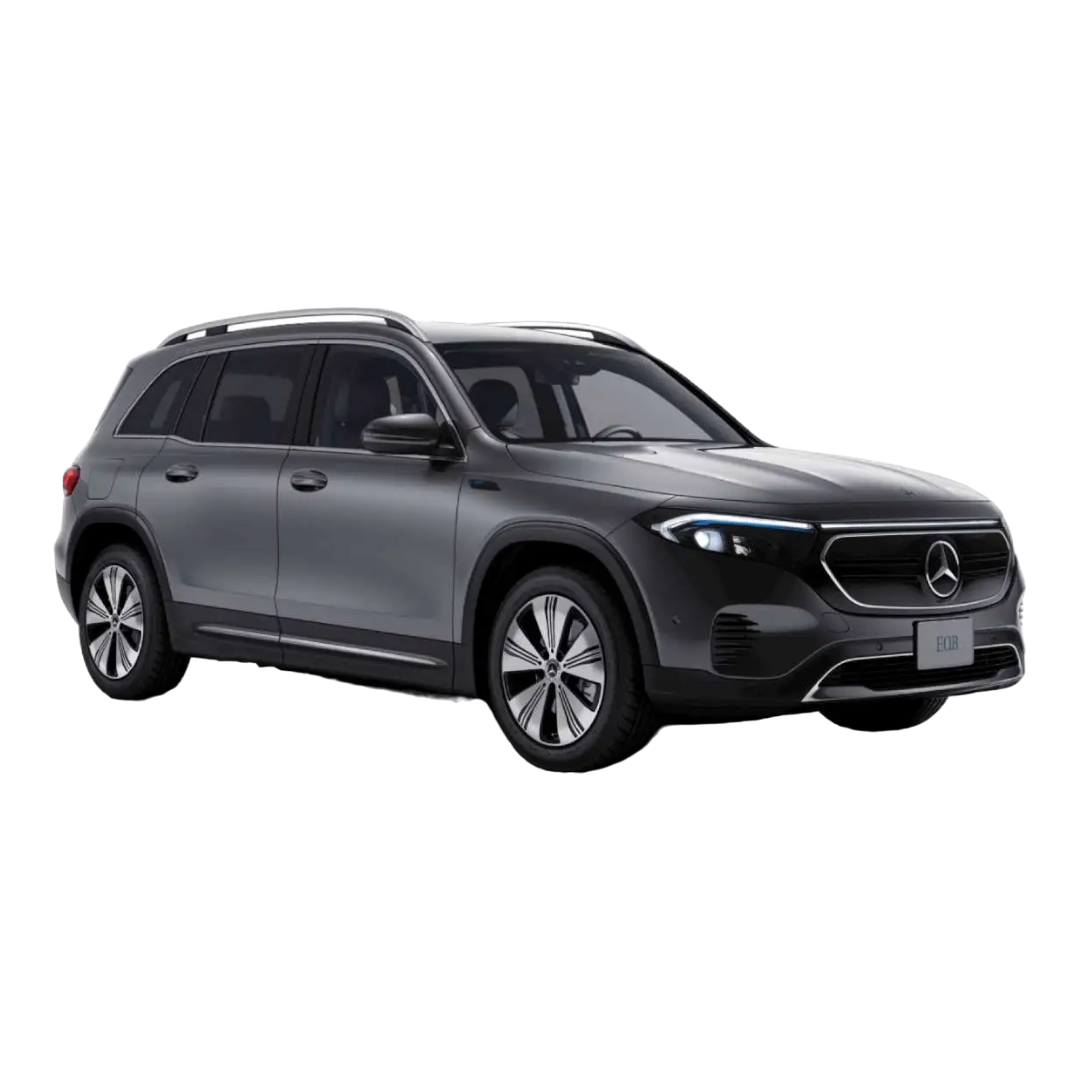 Mercedes Benz EQB
 Mercedes Benz A Class limousine
 Mercedes Benz AMG A 35
 Mercedes-Benz AMG EQS
 Mercedes-Benz AMG E 53 Cabriolet
 Mercedes-Benz AMG GLA 35
 Mercedes-Benz GLC Coupe 2023
 Mercedes M-Class
R-Class
Mercedes M-Class
R-Class
 GLS 600
GLS 400
GLS 350
GLE 300
GLS 600
GLS 400
GLS 350
GLE 300
 GLE 400
GLE 250D
GLE 400
GLE 250D
 GLC 220D
GLC 300
GLC 220D
GLC 300
 GLC 43 Coupe
 GLA 220d
 GLA-Class 200D
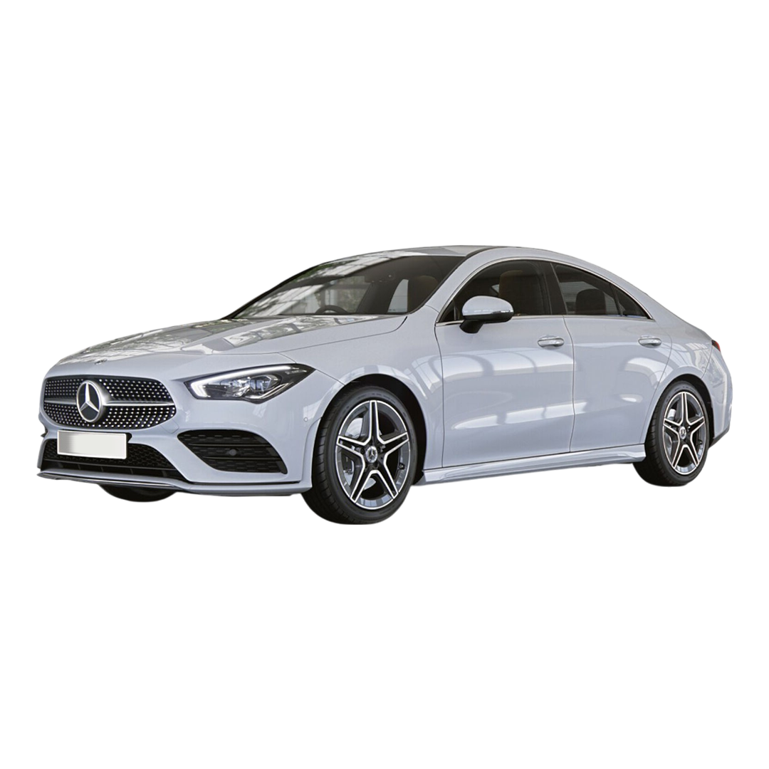 CLA 200
 Benz A-Class A 180
M-Class ML 250
M-Class ML 350
Benz A-Class A 180
M-Class ML 250
M-Class ML 350
 Benz CLS 300
 C-Class C250
C-Class C220
C-Class C200
C-Class C250
C-Class C220
C-Class C200
 Benz B - Class
Benz A - 200
Benz B - Class
Benz A - 200
Google Maps is more than just a navigation tool it’s a visual guide that uses colors to help you understand roads, buildings, nature, and traffic conditions instantly. But have you ever wondered what each color actually means? Let’s break it down.
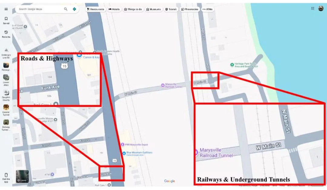
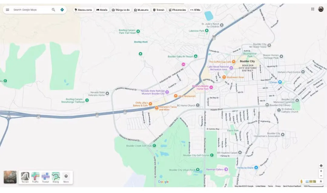
Gray: Represents roads, highways, railways, and underground tunnels. Roads are shown in light gray, highways in darker gray with dotted white lines. Railroads appear as thin gray lines with dashes resembling cross-ties. Underground tunnels are marked with gray cross-hatch shading.
Green Lines: When you enable Biking mode, green lines appear. Dark solid green means dedicated bike trails, dotted green shows bicycle-friendly roads, light green indicates lanes, and dark green dashes represent dirt trails.
Light Gray: Used for residential or non-commercial buildings like homes, healthcare centers, and retirement homes. Airports, industrial areas, and universities may also appear dark gray.
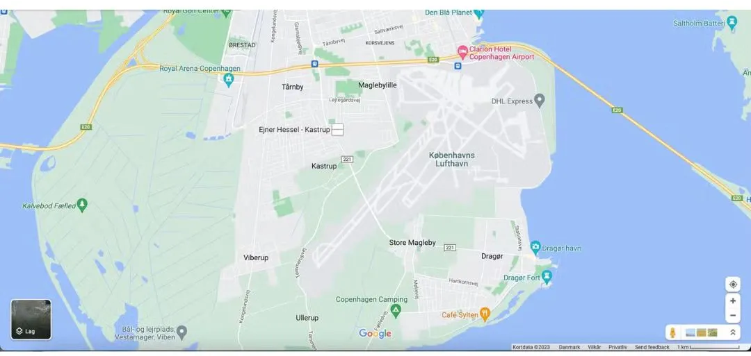
Light Tan: Represents commercial areas like downtowns, shopping centers, offices, and some hospitals. Cities are divided between gray (residential) and tan (commercial) regions.
Special Cases: Military bases also appear in gray. Large institutions like universities may show mixed colors tan for some buildings and gray for others.
Dark Tan: Public beaches are marked with dark tan.
Blue: Represents water oceans, lakes, rivers. Lakes are blobs of blue, while rivers appear as thin blue lines.
Brown: Different shades of brown show deserts, mountains, or national parks. This is called the “natural sand/shrub” color.
Green: Forests, recreational parks, and sometimes national parks are displayed in green.
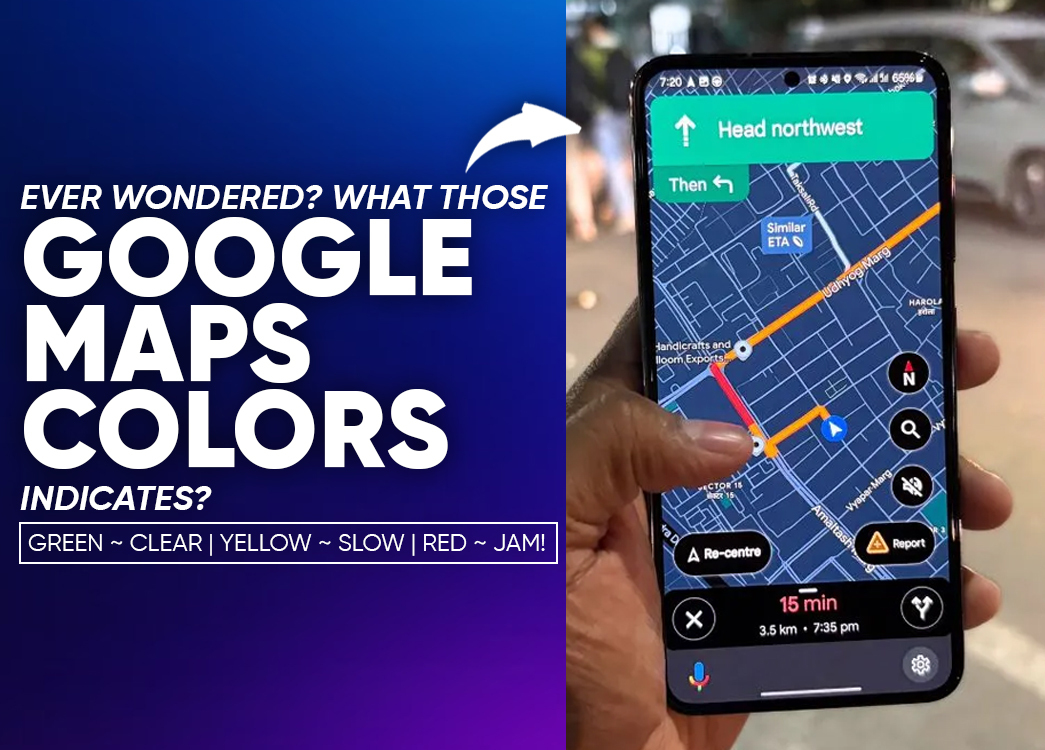
Green: Roads are clear with no traffic delays.
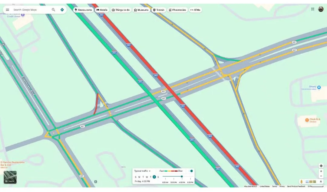
Yellow: Moderate traffic slower but moving steadily.
Red: Heavy traffic, delays due to congestion, accidents, or construction. Dark red means severe jams.
Blue: Appears when you set a destination this is the most optimal route considering traffic.
These days, whenever we need to go somewhere, instead of asking for directions, we simply open Google Maps. Whether it’s visiting a friend, finding a café, or checking office traffic Maps guides us everywhere. But have you noticed those different colored lines? They aren’t decoration they give you real-time info about roads and traffic.
If you understand them, your travel becomes smoother and smarter.
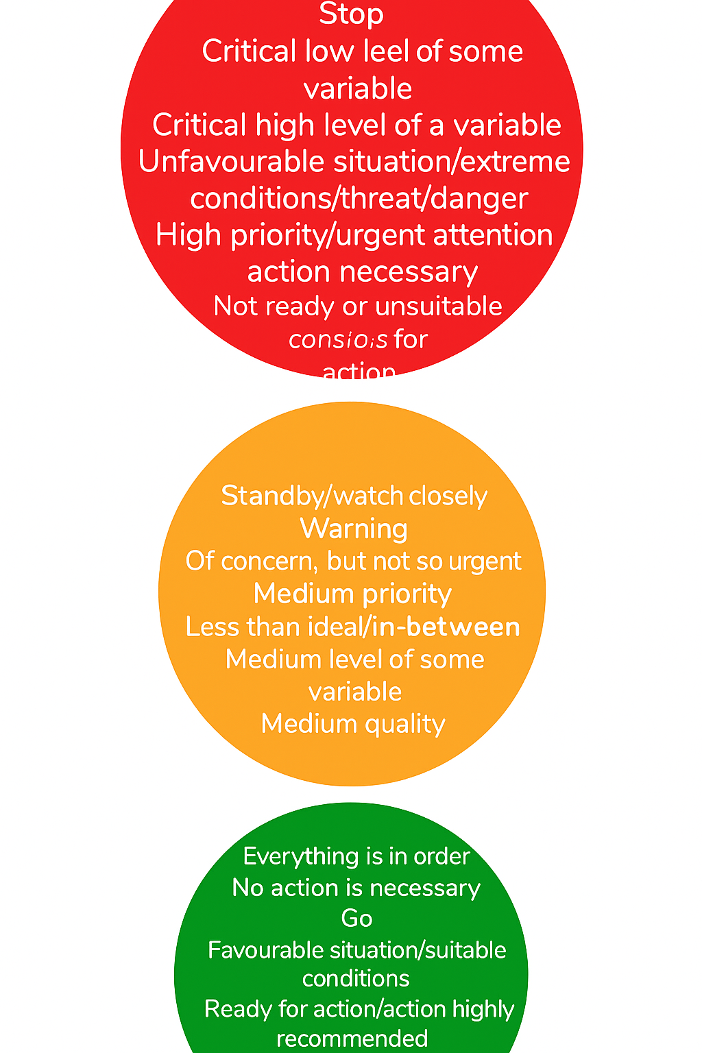
Green: Smooth traffic. No delays.
Yellow/Orange: Light to moderate traffic. Slightly slow but moving.
Red: Heavy traffic. Dark red means severe jams.
Blue: Main recommended route to your destination.
Purple: Alternative route. May be longer or slightly crowded.
Brown: Shows mountainous or hilly terrain, useful for trekking or high-altitude drives.
Millions use Google Maps daily but many don’t know what these colors mean. This can cause delays or unnecessary stress. By learning them, you save time, avoid jams, and make your journey easier.
Google Maps is your digital travel companion. The colorful lines and shades aren’t random they’re guides to help you make better choices. From avoiding traffic to spotting landscapes, knowing what the colors mean makes you a smarter traveler.
It means smooth traffic. Drive without delays.
Moderate traffic slower, but moving.
Red = heavy traffic. Dark red = severe congestion or a jam.
The blue line is Google’s best route suggestion.
It’s an alternate path, usually longer or slightly more congested.
Brown shading marks mountain or hilly areas.
It saves time, reduces stress, and makes your travel smarter and more comfortable.